Roughknowles Wood
Wood, Forest in Warwickshire Warwick
England
Roughknowles Wood
Roughknowles Wood is a picturesque forest located in Warwickshire, England. Covering an area of approximately 100 acres, it is a popular destination for nature enthusiasts and outdoor adventurers alike. The wood is situated near the village of Roughknowles, which is known for its tranquil surroundings and stunning natural beauty.
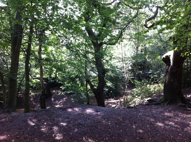
The forest is predominantly made up of native broadleaf trees, including oak, birch, and beech. These towering trees create a dense canopy that provides shade and shelter for a variety of wildlife species. Visitors to the wood can expect to see an array of birds, such as woodpeckers, thrushes, and finches, as well as small mammals like squirrels and hedgehogs.
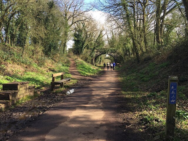
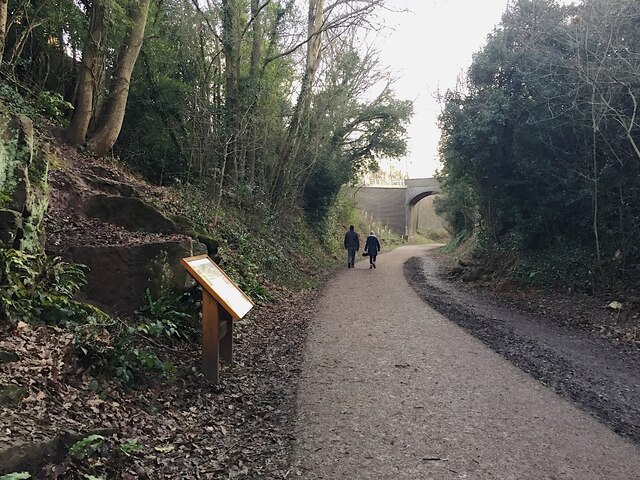
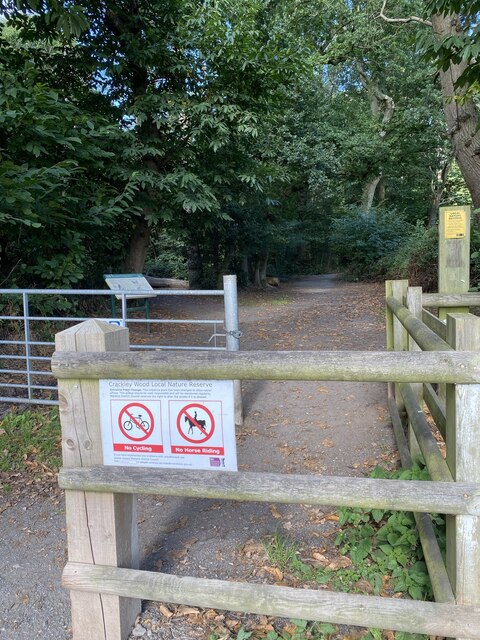
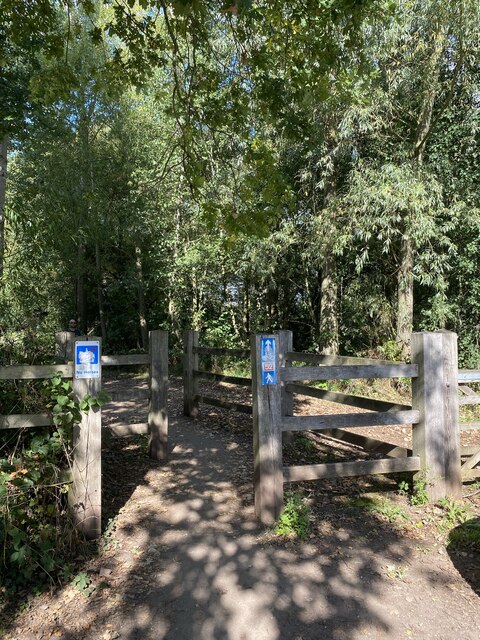
Traversing Roughknowles Wood is made easy with a network of well-maintained footpaths and trails. These paths wind through the forest, allowing visitors to explore its many features, including babbling brooks, wildflower meadows, and peaceful picnic spots. The wood is particularly stunning in the springtime when the forest floor is blanketed with a vibrant display of bluebells.
In addition to its natural beauty, Roughknowles Wood also holds historical significance. The forest is believed to have been in existence since medieval times and was once part of a larger hunting ground. Today, remnants of this past can still be seen in the form of ancient boundary walls and earthworks.
Overall, Roughknowles Wood offers a peaceful retreat for those seeking to immerse themselves in nature. With its diverse wildlife, scenic landscapes, and rich history, it is a truly enchanting destination in Warwickshire.
If you have any feedback on the listing, please let us know in the comments section below.
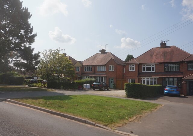
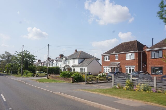
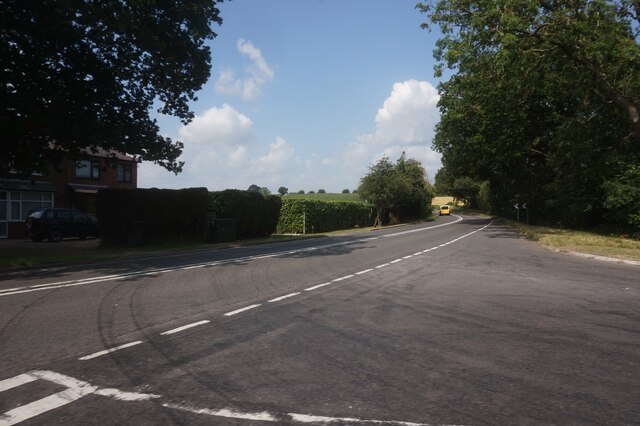
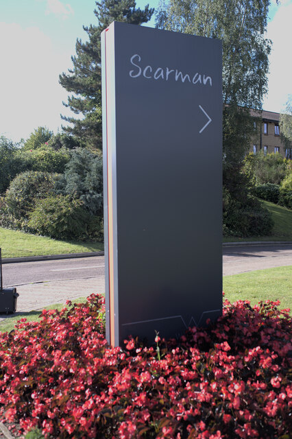
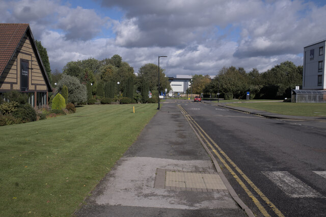
Roughknowles Wood Images
Images are sourced within 2km of 52.370816/-1.5778577 or Grid Reference SP2874. Thanks to Geograph Open Source API. All images are credited.


Roughknowles Wood is located at Grid Ref: SP2874 (Lat: 52.370816, Lng: -1.5778577)
Administrative County: Warwickshire
District: Warwick
Police Authority: Warwickshire
What 3 Words
///smiled.newest.tape. Near Kenilworth, Warwickshire
Nearby Locations
Related Wikis

University of Warwick
The University of Warwick ( WORR-ik; abbreviated as Warw. in post-nominal letters) is a public research university on the outskirts of Coventry between...
Warwick Business School
Warwick Business School (WBS) is the business school of the University of Warwick and an academic department within the Faculty of Social Sciences. It...

Warwick Arts Centre
Warwick Arts Centre is a multi-venue arts complex at the University of Warwick in Coventry, England. It attracts around 300,000 visitors a year to over...

Gibbet Hill (University of Warwick)
Gibbet Hill is the location of, and name for, the University of Warwick's southern campus, in the south of Coventry, England. The Gibbet Hill campus is...

Westwood Heath
Westwood Heath is a southwestern suburb of the City of Coventry in the West Midlands, England.It is bordered by the suburbs of Cannon Park and Canley,...

Warwick Medical School
Warwick Medical School is the medical school of the University of Warwick and is located in Coventry, United Kingdom. It was opened in 2000 in partnership...
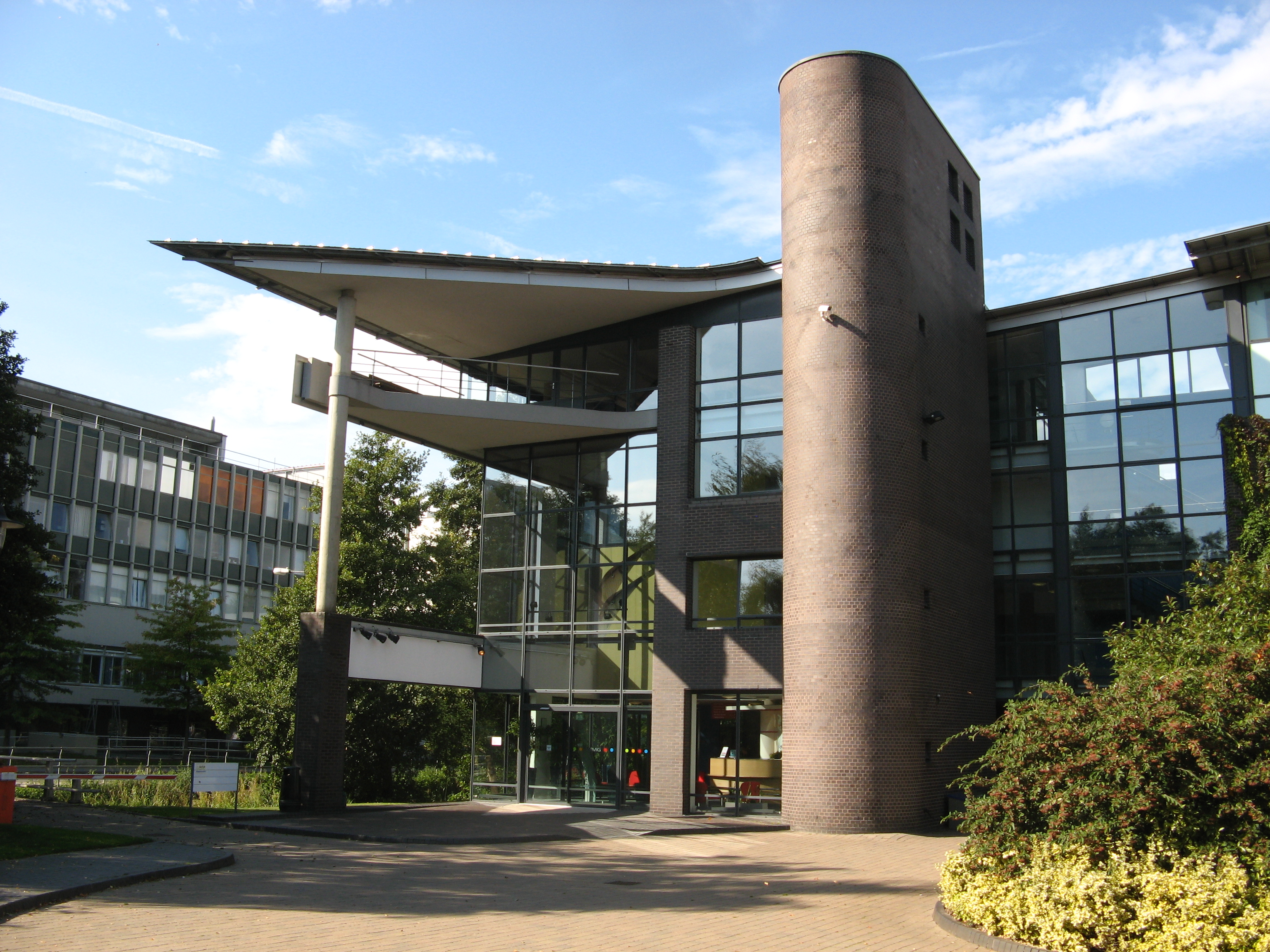
WMG, University of Warwick
WMG, University of Warwick (formerly Warwick Manufacturing Group), is a UK-based research and education group combining collaborative research and development...
National Automotive Innovation Centre
The National Automotive Innovation Centre (NAIC), sometimes referred to as the National Automotive Innovation Campus, is a building at the University of...
Nearby Amenities
Located within 500m of 52.370816,-1.5778577Have you been to Roughknowles Wood?
Leave your review of Roughknowles Wood below (or comments, questions and feedback).