Rushy Close Spinney

Wood, Forest in Warwickshire Warwick

England

Rushy Close Spinney

Bluebells in Oakley Wood Bang on time, 1st May, the bluebells are in flower.
Bluebells in Oakley Wood Credit: David P Howard

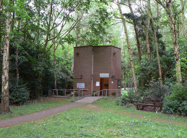
Rushy Close Spinney is a small wood located in the county of Warwickshire, England. It is situated on the outskirts of the village of Rushy Close, hence the name. The spinney covers an area of approximately 20 acres and is known for its dense forestation and diverse wildlife.

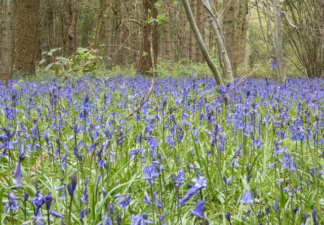
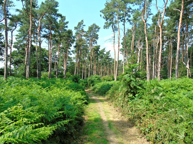
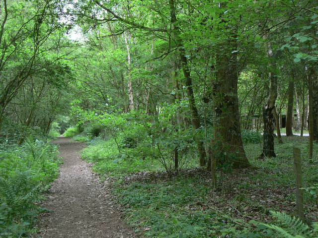
The wood is predominantly made up of deciduous trees, including oak, ash, and beech, which provide a rich canopy and create a shady and tranquil atmosphere. The forest floor is covered with a thick carpet of moss, ferns, and wildflowers, adding to the enchanting ambiance of the spinney.

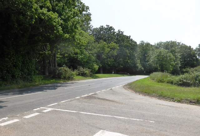
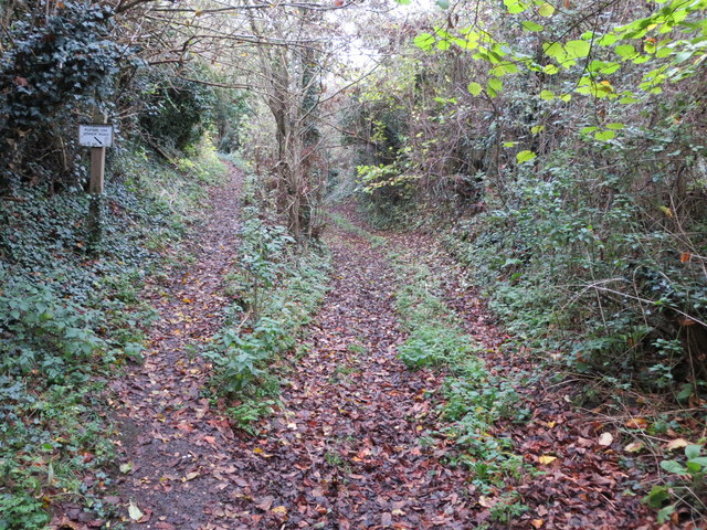
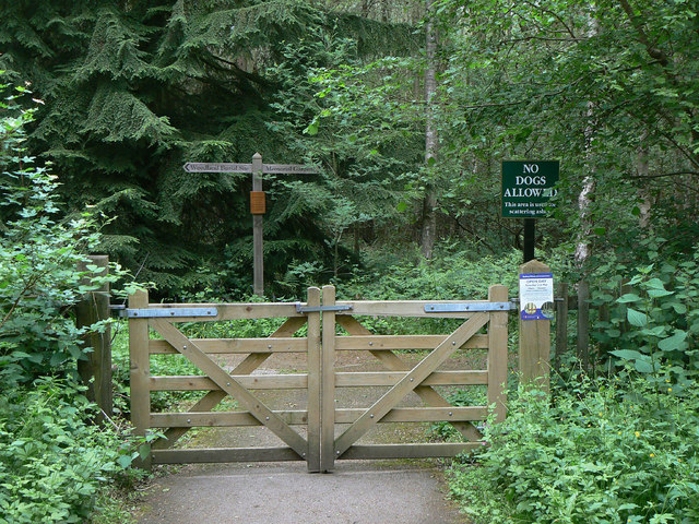
Rushy Close Spinney is a popular destination for nature lovers and hikers. The network of well-marked footpaths and trails allows visitors to explore the wood and enjoy its natural beauty. The wood offers a peaceful retreat from the hustle and bustle of urban life, with the only sounds being the rustling leaves and the songs of birds.

The diverse wildlife found in Rushy Close Spinney is another highlight of this natural haven. The wood is home to various species of birds, including woodpeckers, owls, and thrushes. Small mammals such as squirrels and rabbits can also be spotted darting among the trees, while the occasional deer can be seen grazing in the open areas.

Overall, Rushy Close Spinney is a picturesque woodland that offers a sanctuary for both flora and fauna. Its serene atmosphere and natural beauty make it a perfect destination for anyone seeking a peaceful and rejuvenating experience in the heart of Warwickshire.

If you have any feedback on the listing, please let us know in the comments section below.

Rushy Close Spinney Images

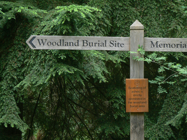
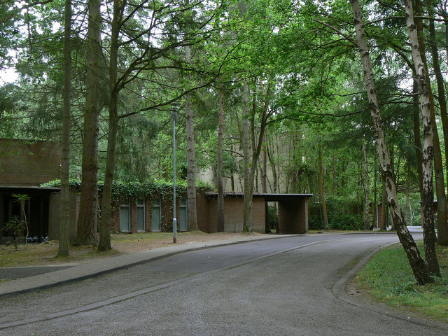
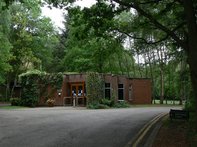
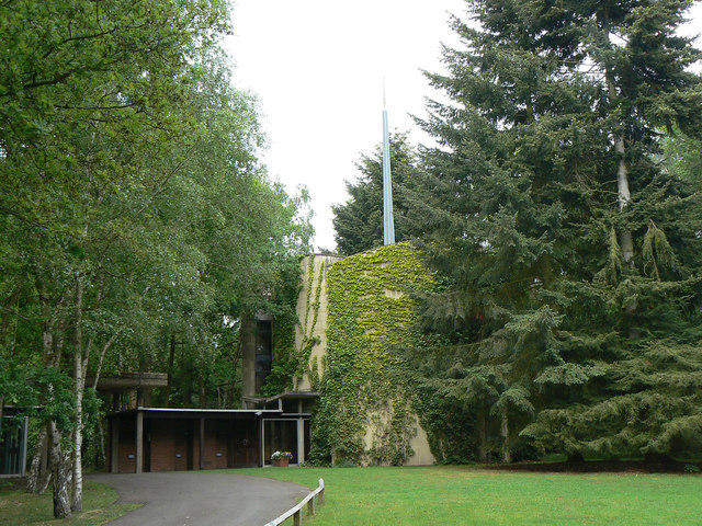
Images are sourced within 2km of 52.224445/-1.5803003 or Grid Reference SP2858. Thanks to Geograph Open Source API. All images are credited.

Bluebells in Oakley Wood Bang on time, 1st May, the bluebells are in flower.
Bluebells in Oakley Wood
Bang on time, 1st May, the bluebells are in flower.
The B4087 at Oakley Wood
Covered way, South Warwickshire Crematorium, Oakley Wood It shelters the path between the office and the South Chapel, right. <span class="nowrap"><a title="https://www.warwickdc.gov.uk/info/20645/oakley_wood_crematorium" rel="nofollow ugc noopener" href="https://www.warwickdc.gov.uk/info/20645/oakley_wood_crematorium">Link</a><img style="margin-left:2px;" alt="External link" title="External link - shift click to open in new window" src="https://s1.geograph.org.uk/img/external.png" width="10" height="10"/></span>
Covered way, South Warwickshire Crematorium, Oakley Wood
It shelters the path between the office and the South Chapel, right. LinkExternal link
Division of path and Bridleway to Ashorne Hill Looking north-eastward.
Division of path and Bridleway to Ashorne Hill
Looking north-eastward.
Path through Oakley Wood
Bus stop at Oakley Wood This principally serves the adjacent crematorium.
Bus stop at Oakley Wood
This principally serves the adjacent crematorium.
Path through Oakley Wood To the right of the fence are the grounds of the Mid Warwickshire Crematorium.
Path through Oakley Wood
To the right of the fence are the grounds of the Mid Warwickshire Crematorium.
Memorial woodland The gate gives access from the Crematorium; much of the wood is dedicated to burial or scattering of ashes.
Memorial woodland
The gate gives access from the Crematorium; much of the wood is dedicated to burial or scattering of ashes.
Crematorium signpost The information is self-explanatory.
Crematorium signpost
The information is self-explanatory.
Oakley Wood Crematorium Access to the South Chapel.
Oakley Wood Crematorium
Access to the South Chapel.
Oakley Wood Crematorium Administrative building and waiting room.
Oakley Wood Crematorium
Administrative building and waiting room.
Oakley Wood Crematorium The South Chapel
Oakley Wood Crematorium
The South Chapel
Oakley Wood Crematorium The Chapel of Remembrance.
Oakley Wood Crematorium
The Chapel of Remembrance.
Oakley Wood Crematorium Properly the Mid Warwickshire Crematorium. This is the main entrance to the site.
Oakley Wood Crematorium
Properly the Mid Warwickshire Crematorium. This is the main entrance to the site.
Oakley Wood This minor road junction is just to the west of the wood which is on the left of the image. The wood contains Oakley Wood Crematorium and also an earthwork which could be an iron age fort. The woods are PAWS Plantation on Ancient Woodland Site and do now contain non native species such as pine. Work has started on retunrning this 47Ha site to native woodland species.
Oakley Wood
This minor road junction is just to the west of the wood which is on the left of the image. The wood contains Oakley Wood Crematorium and also an earthwork which could be an iron age fort. The woods are PAWS Plantation on Ancient Woodland Site and do now contain non native species such as pine. Work has started on retunrning this 47Ha site to native woodland species.
Wheatfield This wheatfield with a small copse in the middle of it is just to the west of Oakley Woods.
Wheatfield
This wheatfield with a small copse in the middle of it is just to the west of Oakley Woods.
Ashorne A small village in the backwaters of Warwickshire hidden away with some lovely old cottages.
Ashorne
A small village in the backwaters of Warwickshire hidden away with some lovely old cottages.
Entering Stratford-upon-Avon District on the B4087
Show me another place!

Rushy Close Spinney is located at Grid Ref: SP2858 (Lat: 52.224445, Lng: -1.5803003)

Administrative County: Warwickshire

District: Warwick

Police Authority: Warwickshire

What 3 Words

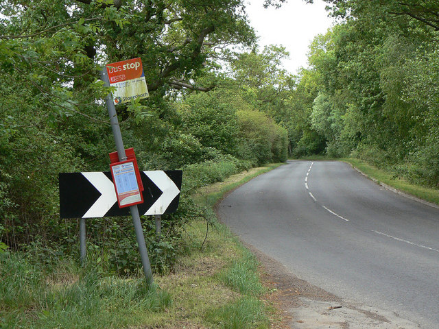
///occupy.tweeted.unheated. Near Wellesbourne, Warwickshire

Related Wikis

Newbold Pacey

Newbold Pacey is a village and civil parish 5 miles (8 km) south of Warwick, in the Stratford-on-Avon district of Warwickshire, England. The parish includes...

Thelsford Priory

Thelsford Priory is a site listed by the Historic Buildings and Monuments Commission for England. Thelsford Priory was a small house, originally of the...

Ashorne Hill House

Ashorne Hill House, Ashorne, Warwickshire, England is a late Victorian country house built for Arthur and Ethel Tree by the architect Edward Goldie between...

Wasperton

Wasperton is a village and civil parish in the English county of Warwickshire. The population of the civil parish at the 2011 census was 153. It is on...

Nearby Amenities

Located within 500m of 52.224445,-1.5803003
Barrier: kissing_gate
Source: survey
Lat/Long: 52.2216123/-1.5815407
Barrier: yes
Source: survey
Lat/Long: 52.2215805/-1.5814401
Barrier: kissing_gate
Source: survey
Lat/Long: 52.2249925/-1.587228
Barrier: kissing_gate
Source: survey
Lat/Long: 52.2249744/-1.5871374
Barrier: kissing_gate
Source: survey
Lat/Long: 52.2236041/-1.5808229
Barrier: kissing_gate
Source: survey
Lat/Long: 52.2235584/-1.5808399
The data included in this document is from www.openstreetmap.org. The data is made available under ODbL.

Have you been to Rushy Close Spinney?

Leave your review of Rushy Close Spinney below (or comments, questions and feedback).