Brown Wood
Wood, Forest in Yorkshire Harrogate
England
Brown Wood

Brown Wood is a picturesque forest located in the county of Yorkshire, England. Covering an area of approximately 500 hectares, this woodland is a haven for nature enthusiasts and outdoor adventurers alike. The forest is situated on the outskirts of a small village called Brown, which is known for its quaint charm and peaceful atmosphere.
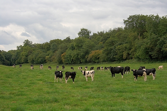
The wood is predominantly composed of various species of deciduous trees, including oak, beech, and birch, which create a stunning display of colors during the autumn months. The dense canopy provides shade and shelter for a diverse range of wildlife, making it an ideal habitat for numerous bird species, mammals, and insects.
Visitors to Brown Wood can explore a network of well-maintained trails that wind through the forest, offering a chance to immerse themselves in the tranquility of nature. These paths cater to individuals of all fitness levels and are ideal for walking, running, or cycling. Along the trails, there are several designated picnic spots where visitors can take a break and enjoy a meal amidst the natural beauty of the woodland.
In addition to its recreational opportunities, Brown Wood also serves as an important educational resource. The forest is home to a visitor center that provides information about the local flora and fauna, as well as conservation efforts in the area. Guided tours and workshops are regularly organized to educate visitors on the importance of preserving this valuable ecosystem.
Overall, Brown Wood offers a peaceful escape from the hustle and bustle of everyday life, allowing visitors to connect with nature and explore the stunning beauty of Yorkshire's countryside.
If you have any feedback on the listing, please let us know in the comments section below.
Brown Wood Images
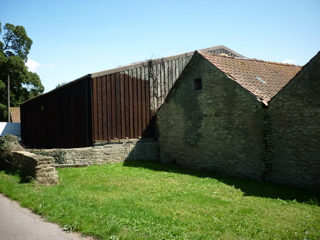
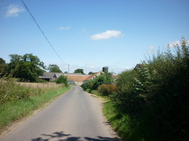
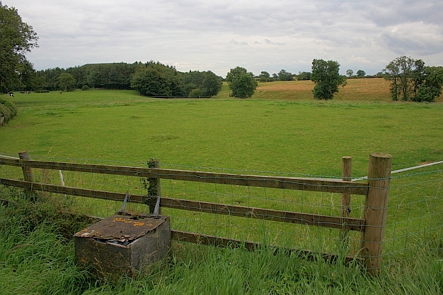
Images are sourced within 2km of 54.177266/-1.5635331 or Grid Reference SE2875. Thanks to Geograph Open Source API. All images are credited.


Brown Wood is located at Grid Ref: SE2875 (Lat: 54.177266, Lng: -1.5635331)
Division: West Riding
Administrative County: North Yorkshire
District: Harrogate
Police Authority: North Yorkshire
What 3 Words
///chips.hurray.seducing. Near Ripon, North Yorkshire
Nearby Locations
Related Wikis

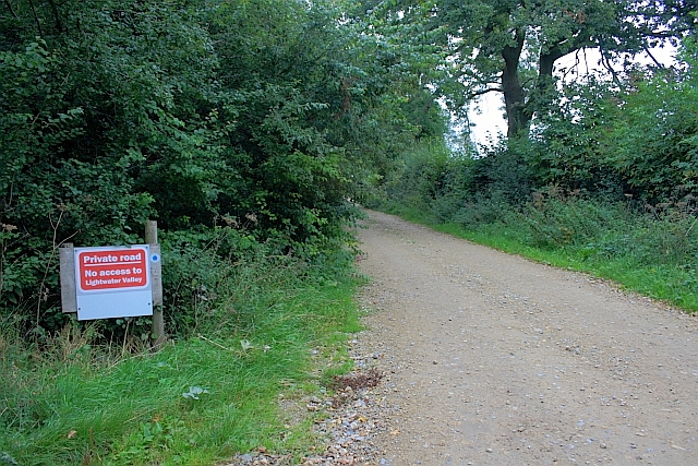
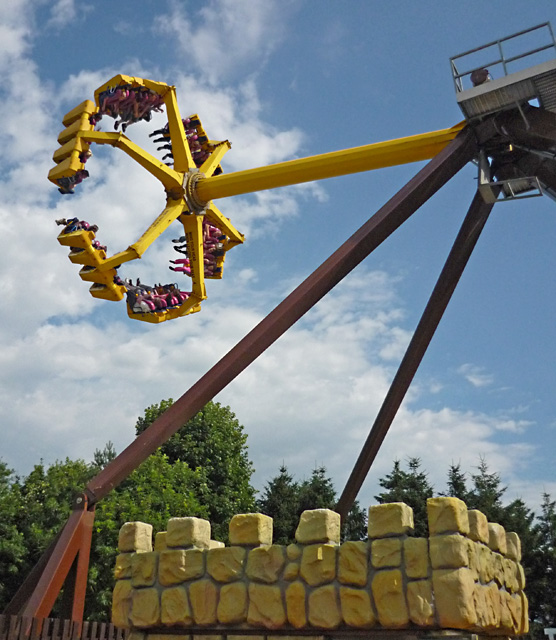
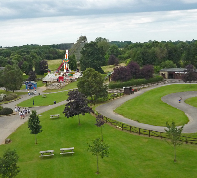
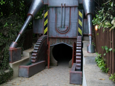
Lightwater Valley
Lightwater Valley Family Adventure Park is an adventure park in North Stainley, North Yorkshire, England. The park was once home to Europe's longest roller...

The Ultimate (roller coaster)
The Ultimate was a steel roller coaster located at Lightwater Valley theme park in North Yorkshire, England. Manufactured by British Rail Engineering Limited...
Raptor Attack
Raptor Attack was an enclosed steel roller coaster at the Lightwater Valley theme park in North Yorkshire, United Kingdom. and was the world's first underground...
North Stainley
North Stainley is a village in the Harrogate district of North Yorkshire, England 4 miles (6.4 km) north of Ripon. Historically part of the West Riding...
Nearby Amenities
Located within 500m of 54.177266,-1.5635331Have you been to Brown Wood?
Leave your review of Brown Wood below (or comments, questions and feedback).