Lawn Coppice
Wood, Forest in Wiltshire
England
Lawn Coppice
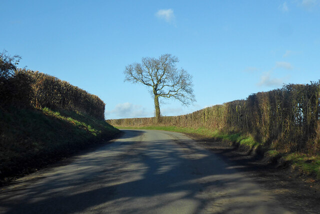
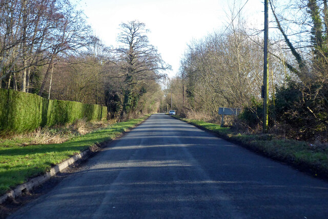
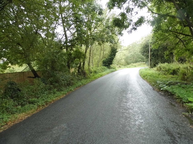
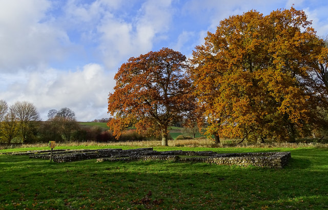
Lawn Coppice is a picturesque woodland located in the county of Wiltshire, England. Nestled in the heart of the countryside, it covers an area of approximately 100 acres and is known for its diverse flora and fauna. The woodland is predominantly made up of oak and ash trees, with a sprinkling of birch and beech trees dotting the landscape.
The forest floor is carpeted with bluebells in the spring, creating a breathtaking display of vibrant colors. This, coupled with the chorus of birdsong that fills the air, makes Lawn Coppice a popular destination for nature lovers and photographers alike.
The woodland is home to a variety of wildlife species, including deer, badgers, foxes, and rabbits. Visitors may also be lucky enough to spot rare birds such as the red kite or the tawny owl. The tranquil atmosphere of Lawn Coppice makes it an ideal spot for wildlife enthusiasts to observe and appreciate the natural beauty of these creatures in their natural habitat.
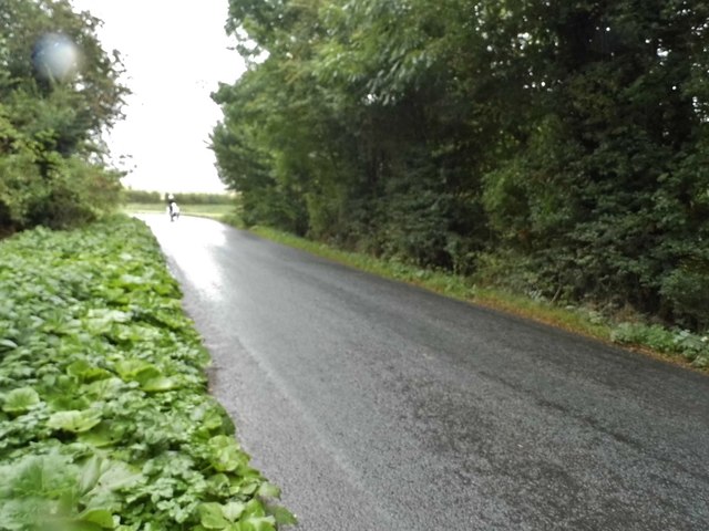
The woodland is crisscrossed by a network of walking paths, allowing visitors to explore the area at their own pace. There are also designated picnic spots and benches scattered throughout the forest, providing a perfect opportunity to relax and immerse oneself in the peaceful surroundings.
Lawn Coppice is easily accessible by both car and public transport, with ample parking available for visitors. It is open year-round, offering a different experience in each season, from the vibrant colors of spring and summer to the golden hues of autumn and the serene beauty of winter.
If you have any feedback on the listing, please let us know in the comments section below.
Lawn Coppice Images
Images are sourced within 2km of 51.425054/-1.5906078 or Grid Reference SU2869. Thanks to Geograph Open Source API. All images are credited.


![Ramsbury houses [61] Brookside in Newtown Road is 17th century with a 20th century rear wing. The timber framed and thatched detached cottage is listed, grade II, with details at: <span class="nowrap"><a title="https://historicengland.org.uk/listing/the-list/list-entry/1300406" rel="nofollow ugc noopener" href="https://historicengland.org.uk/listing/the-list/list-entry/1300406">Link</a><img style="margin-left:2px;" alt="External link" title="External link - shift click to open in new window" src="https://s1.geograph.org.uk/img/external.png" width="10" height="10"/></span>
Ramsbury lies in fertile farming land in the valley of the River Kennet. The site has been occupied since at least the Iron Age and there are several Roman villas. There was a bishopric of Ramsbury, established by 909 and ended in 1075 when it was included in the bishopric of Salisbury. Until 1744 when the present A4 road was turnpiked, the road through the village was part of the main route from London to Bristol.](https://s1.geograph.org.uk/geophotos/06/45/06/6450677_d39c5175.jpg)
![Ramsbury houses [62] Rush Cottage is early/mid 19th century in diaper brickwork. There is a fine Oeil de boeuf over the door. Listed, grade II, with details at: <span class="nowrap"><a title="https://historicengland.org.uk/listing/the-list/list-entry/1034100" rel="nofollow ugc noopener" href="https://historicengland.org.uk/listing/the-list/list-entry/1034100">Link</a><img style="margin-left:2px;" alt="External link" title="External link - shift click to open in new window" src="https://s1.geograph.org.uk/img/external.png" width="10" height="10"/></span>
Ramsbury lies in fertile farming land in the valley of the River Kennet. The site has been occupied since at least the Iron Age and there are several Roman villas. There was a bishopric of Ramsbury, established by 909 and ended in 1075 when it was included in the bishopric of Salisbury. Until 1744 when the present A4 road was turnpiked, the road through the village was part of the main route from London to Bristol.](https://s1.geograph.org.uk/geophotos/06/45/06/6450681_3f4a88eb.jpg)
Lawn Coppice is located at Grid Ref: SU2869 (Lat: 51.425054, Lng: -1.5906078)
Unitary Authority: Wiltshire
Police Authority: Wiltshire
What 3 Words
///automate.amaze.lads. Near Ramsbury, Wiltshire
Nearby Locations
Related Wikis

Littlecote House
Littlecote House is a large Elizabethan country house and estate in the civil parishes of Ramsbury and Chilton Foliat, in the English county of Wiltshire...

Froxfield
Froxfield is a village and civil parish in the English county of Wiltshire. The parish is on the Wiltshire-West Berkshire border, and the village lies...
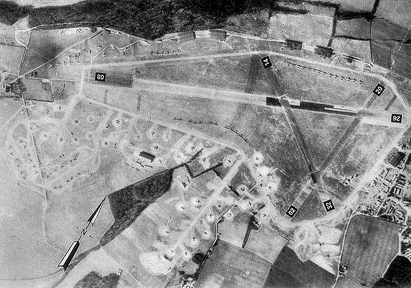
RAF Ramsbury
Royal Air Force Ramsbury or more simply RAF Ramsbury is a former Royal Air Force station, 5 miles (8 km) east-northeast of Marlborough, Wiltshire, England...
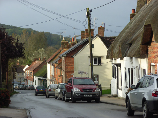
Ramsbury
Ramsbury is a village and civil parish in the English county of Wiltshire. The village is in the Kennet Valley near the Berkshire boundary. The nearest...

Ramsbury Rural District
Ramsbury was a rural district in Wiltshire, England from 1894 to 1934 around the village of Ramsbury. It was formed under the Local Government Act 1894...
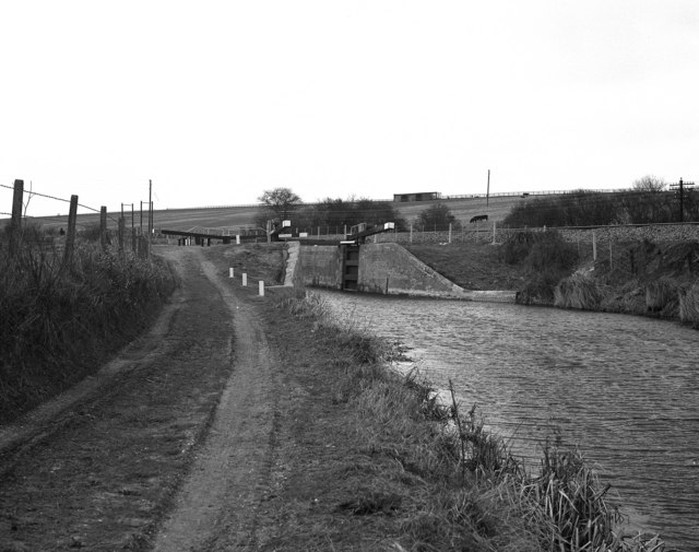
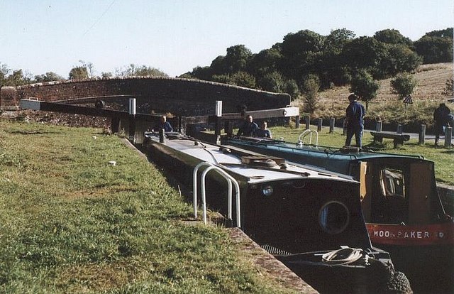
Froxfield Bottom Lock
Froxfield Bottom Lock is a lock on the Kennet and Avon Canal, at Froxfield, Wiltshire, England. The lock has a rise/fall of 7 ft 0 in (2.13 m). == References... ==

Froxfield Middle Lock
Froxfield Middle Lock is a lock on the Kennet and Avon Canal, at Froxfield, Wiltshire, England. The lock has a rise/fall of 6 ft 11 in (2.11 m). ��2�...
Oakhill Down Lock
Oakhill Down Lock is a lock on the Kennet and Avon Canal, at Froxfield, Wiltshire, England, between Newbury Bridge and Pewsey Wharf.The lock was built...
Nearby Amenities
Located within 500m of 51.425054,-1.5906078Have you been to Lawn Coppice?
Leave your review of Lawn Coppice below (or comments, questions and feedback).