Bostley Wood
Wood, Forest in Durham
England
Bostley Wood

Bostley Wood is a picturesque woodland located in Durham, England. Situated near the village of Bostley, this forested area spans approximately 200 acres. The wood is known for its natural beauty, diverse wildlife, and tranquil atmosphere, making it a popular destination for nature enthusiasts and hikers.
Bostley Wood is characterized by its dense canopy of mature trees, including oak, beech, and ash, which provide a rich habitat for a variety of flora and fauna. The forest floor is adorned with a carpet of wildflowers during the spring, adding to the scenic charm of the area. The wood is also home to numerous species of birds, such as woodpeckers, owls, and thrushes, making it a haven for birdwatchers.
The wood is crisscrossed by well-maintained footpaths, allowing visitors to explore its beauty while enjoying a leisurely stroll or a more challenging hike. Along these paths, visitors may come across quaint wooden benches, providing perfect spots for relaxation and enjoying the serenity of the surroundings.
Bostley Wood is managed by the local authorities, who ensure its preservation and conservation. The wood is protected as a Site of Special Scientific Interest (SSSI) due to its ecological importance and the presence of rare species of plants and insects.
Access to Bostley Wood is free, and it is open to the public throughout the year. Visitors are encouraged to keep the wood clean and respect the natural environment by not littering or disturbing wildlife. Bostley Wood offers an idyllic escape from the hustle and bustle of city life, providing a tranquil haven for visitors to enjoy the beauty of nature.
If you have any feedback on the listing, please let us know in the comments section below.
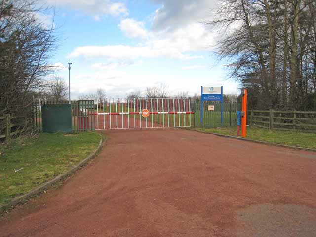
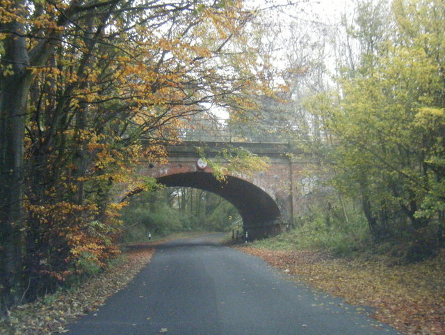
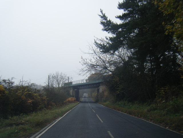
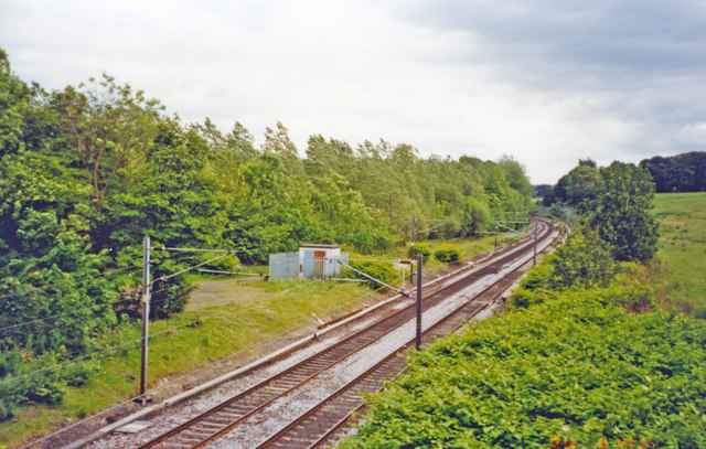
Bostley Wood Images
Images are sourced within 2km of 54.827607/-1.5580144 or Grid Reference NZ2848. Thanks to Geograph Open Source API. All images are credited.


Bostley Wood is located at Grid Ref: NZ2848 (Lat: 54.827607, Lng: -1.5580144)
Unitary Authority: County Durham
Police Authority: Durham
What 3 Words
///mainframe.pyramid.first. Near Chester-le-Street, Co. Durham
Nearby Locations
Related Wikis

Great Lumley
Great Lumley is a village in County Durham, England. It is situated south east of Chester-le-Street, near Lumley Castle. It has a population of 3,843,...
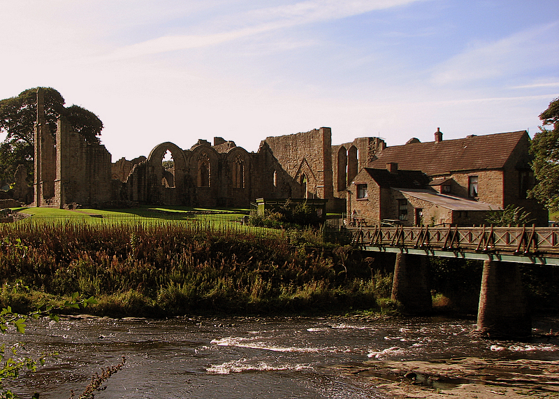
Finchale Priory
Finchale Priory ( FING-kəl), sometimes referred to as Finchale Abbey, was a 13th-century Benedictine priory. The remains are sited by the River Wear, four...
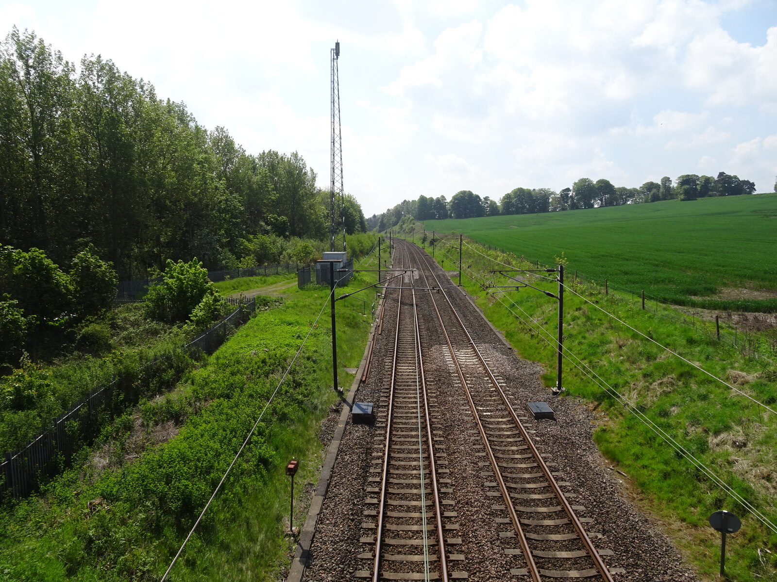
Plawsworth railway station
Plawsworth railway station served the village of Plawsworth, County Durham, England from 1868 to 1963 on the East Coast Main Line. == History == The station...

Chester-le-Street Town F.C.
Chester-le-Street Town Football Club is a football club based in Chester-le-Street, County Durham, England. They are currently members of the Northern...
Nearby Amenities
Located within 500m of 54.827607,-1.5580144Have you been to Bostley Wood?
Leave your review of Bostley Wood below (or comments, questions and feedback).