Canny Well Wood
Wood, Forest in Yorkshire Richmondshire
England
Canny Well Wood

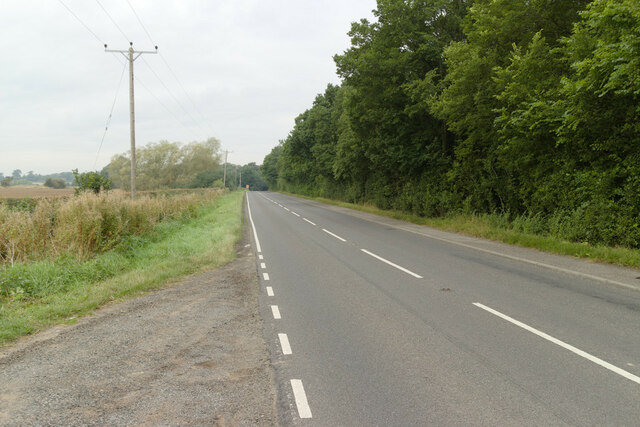
Canny Well Wood is a picturesque woodland located in Yorkshire, England. Covering an area of approximately 100 acres, the wood is nestled within the beautiful landscape of the Yorkshire Dales National Park. It is a popular destination for nature enthusiasts, hikers, and those seeking tranquility away from the bustling city.
The wood is dominated by a mix of broadleaf trees, predominantly oak and beech, which create a dense canopy providing shade and shelter for a variety of wildlife. The forest floor is covered with a rich carpet of ferns, bluebells, and wild garlic during the spring and summer months, adding to the natural beauty of the surroundings.
Traversing through Canny Well Wood, visitors can explore numerous walking trails and footpaths that meander through the woodland. These paths offer stunning views of the surrounding countryside, as well as access to a small stream that runs through the wood, adding to the serene atmosphere.
The wood is also a haven for wildlife, providing a habitat for a diverse range of species. Birdwatchers can spot various woodland birds, including woodpeckers, tits, and warblers, while lucky visitors may even catch a glimpse of elusive mammals like deer and foxes.
Canny Well Wood is easily accessible, with a car park and visitor facilities available nearby. It offers a peaceful retreat for those seeking a break from the urban environment, providing an opportunity to connect with nature and soak in the beauty of the Yorkshire countryside.
If you have any feedback on the listing, please let us know in the comments section below.
Canny Well Wood Images
Images are sourced within 2km of 54.475692/-1.5622466 or Grid Reference NZ2809. Thanks to Geograph Open Source API. All images are credited.


Canny Well Wood is located at Grid Ref: NZ2809 (Lat: 54.475692, Lng: -1.5622466)
Division: North Riding
Administrative County: North Yorkshire
District: Richmondshire
Police Authority: North Yorkshire
What 3 Words
///porridge.clays.vest. Near Hurworth, Co. Durham
Nearby Locations
Related Wikis
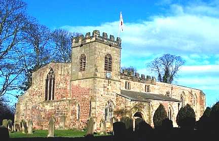
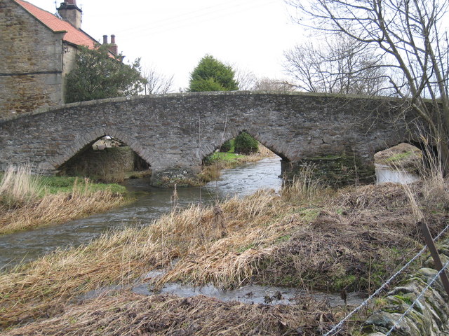
Church of St Peter, Croft-on-Tees
The Church of St Peter, Croft-on-Tees is a 12th century grade I listed parish church in the village of Croft-on-Tees in North Yorkshire, England. Artefacts...

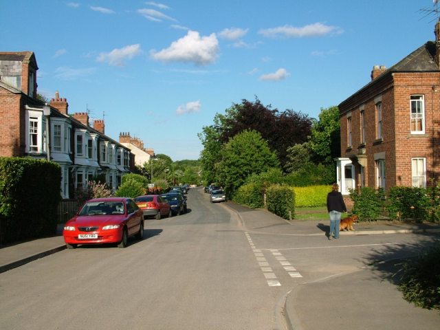
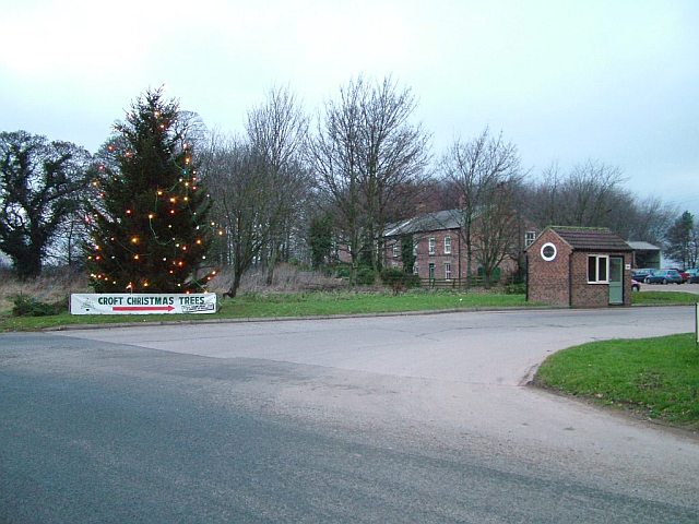
Croft-on-Tees
Croft-on-Tees is a village and civil parish in the Richmondshire district of North Yorkshire, England. It has also been known as Croft Spa, and from which...
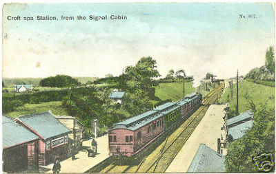
Croft Spa railway station
Croft Spa railway station was a railway station serving the settlements of Croft-on-Tees and Hurworth-on-Tees in County Durham, England. The station was...
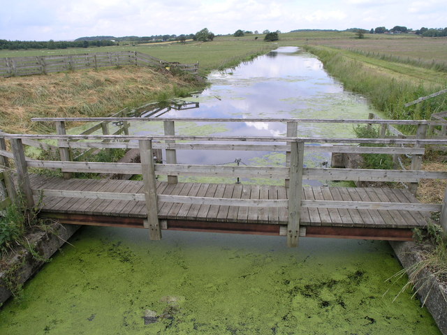
River Skerne
The River Skerne is a tributary of the River Tees. It flows through County Durham in England. == Course == The Skerne is about 25 miles (40 km) long and...

Hurworth Place
Hurworth Place is a village in County Durham, in England. It lies south of Darlington on the northern bank of the River Tees, opposite the village of Croft...
Aldbrough Beck
Aldbrough Beck is a small beck in North Yorkshire, England. The beck starts near Eppleby, in the Richmondshire district, and flows southeast, joining...

Dalton-on-Tees
Dalton-on-Tees is a village and civil parish in the Richmondshire district of North Yorkshire, England, near the boundary with County Durham. According...
Hurworth School
Hurworth School is an coeducational secondary school located on Croft Road, Hurworth-on-Tees, in the borough of Darlington, England. It is part of the...
Nearby Amenities
Located within 500m of 54.475692,-1.5622466Have you been to Canny Well Wood?
Leave your review of Canny Well Wood below (or comments, questions and feedback).