The Warren
Wood, Forest in Wiltshire New Forest
England
The Warren
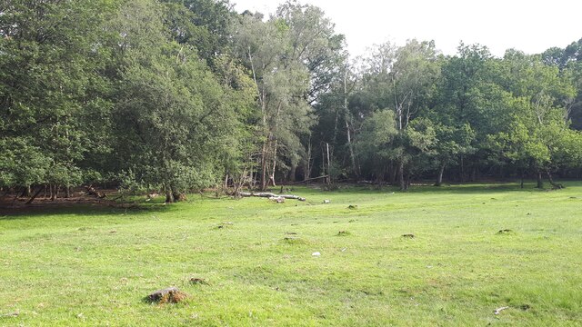
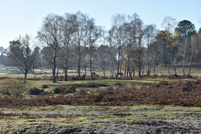
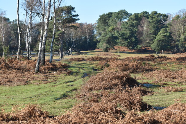
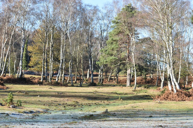
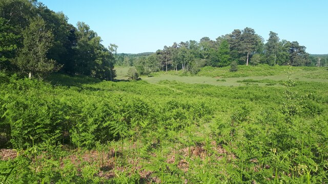
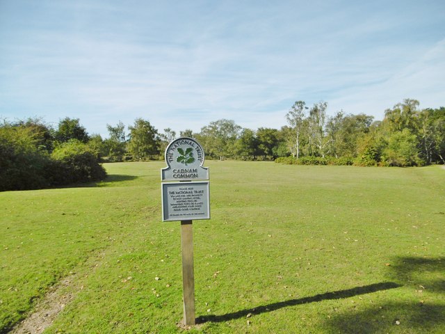
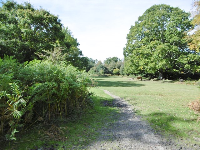
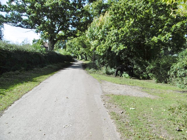
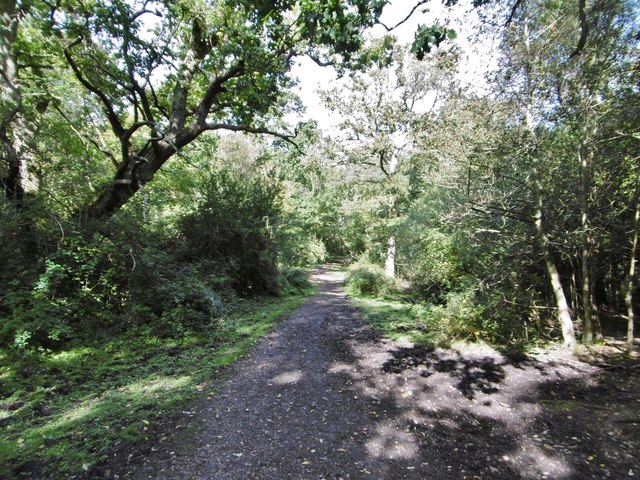
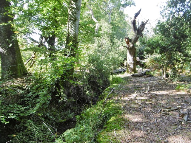
The Warren, located in Wiltshire, England, is a picturesque woodland area known for its natural beauty and diverse flora and fauna. Covering an expansive area, The Warren is a thriving forest filled with a variety of tree species, including ancient oaks, beech, and birch. The dense canopy created by these trees provides a serene and tranquil environment, making it a popular destination for nature enthusiasts and hikers.
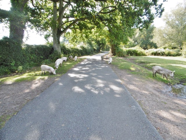
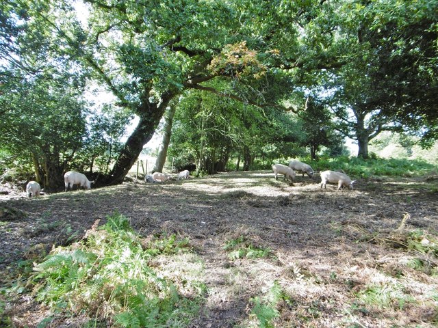
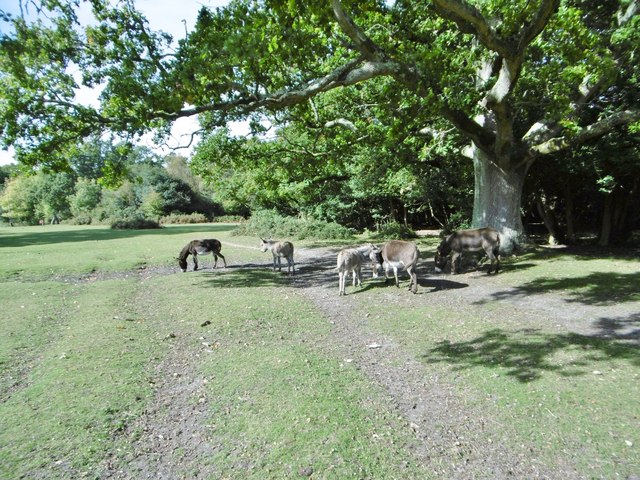
The Warren is home to a wide range of wildlife, making it an important conservation area. Various bird species, such as woodpeckers, jays, and owls, can be spotted among the treetops, while small mammals like squirrels and rabbits scurry among the undergrowth. The forest floor is also abundant with wildflowers and plants, including bluebells, primroses, and ferns, creating a vibrant and colorful landscape during spring and summer.
Aside from its natural beauty, The Warren also holds historical significance. The area has been inhabited since ancient times, and remnants of Iron Age settlements and burial mounds can still be found within the forest. These archaeological sites provide valuable insights into the region's rich history and have made The Warren a site of interest for archaeologists and historians.
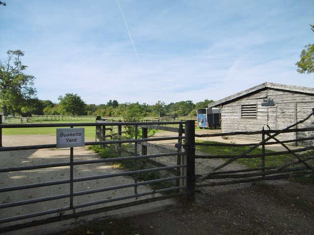
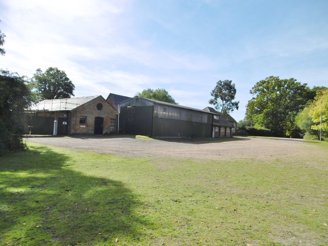
Visitors to The Warren can enjoy various recreational activities, including walking trails, nature photography, and picnicking. The forest is well-maintained, with designated paths and signposts, ensuring a safe and enjoyable experience for all. Whether one seeks solitude and tranquility or an opportunity to explore nature's wonders, The Warren in Wiltshire offers a captivating and enriching experience.
If you have any feedback on the listing, please let us know in the comments section below.
The Warren Images
Images are sourced within 2km of 50.93733/-1.5989869 or Grid Reference SU2815. Thanks to Geograph Open Source API. All images are credited.
The Warren is located at Grid Ref: SU2815 (Lat: 50.93733, Lng: -1.5989869)
Administrative County: Hampshire
District: New Forest
Police Authority: Hampshire
What 3 Words
///saloons.trickster.sands. Near Cadnam, Hampshire
Nearby Locations
Related Wikis

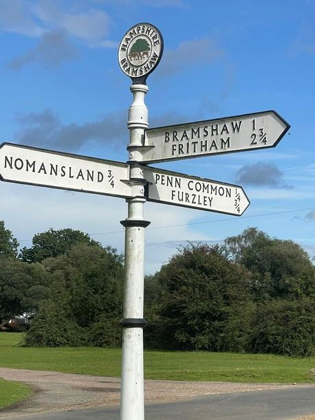
Bramshaw
Bramshaw is a small village and civil parish in Hampshire, England. It lies just inside the New Forest. The name Bramshaw means Bramble Wood. Until 1895...

Brook, New Forest
Brook is a hamlet in the civil parish of Bramshaw, in Hampshire, England. It lies just inside the New Forest. The hamlet contains a mix of 18th and 19th...

Copythorne
Copythorne is a village and civil parish in Hampshire, England, within the boundaries of the New Forest National Park. == Overview == Copythorne is in...

Copythorne Common
Copythorne Common is a 17-hectare (42-acre) nature reserve west of Southampton in Hampshire. It is managed by the Hampshire and Isle of Wight Wildlife...

Bartley Lodge
Bartley Lodge is a country house near Cadnam in Hampshire, England, within the boundaries of the New Forest National Park. It was built in the 18th century...

Landford Heath
Landford Heath (grid reference SU265178) is an 11.75 hectare biological Site of Special Scientific Interest near Landford in southeast Wiltshire, England...

Bartley, Hampshire
Bartley is a village in Hampshire, England, within the boundaries of the New Forest National Park, seven miles (11 km) west of Southampton. == Overview... ==

Cadnam
Cadnam is a village situated in Hampshire, England, within the boundaries of the New Forest National Park. The village has existed since the medieval period...
Nearby Amenities
Located within 500m of 50.93733,-1.5989869Have you been to The Warren?
Leave your review of The Warren below (or comments, questions and feedback).