Green Plantation
Wood, Forest in Derbyshire South Derbyshire
England
Green Plantation
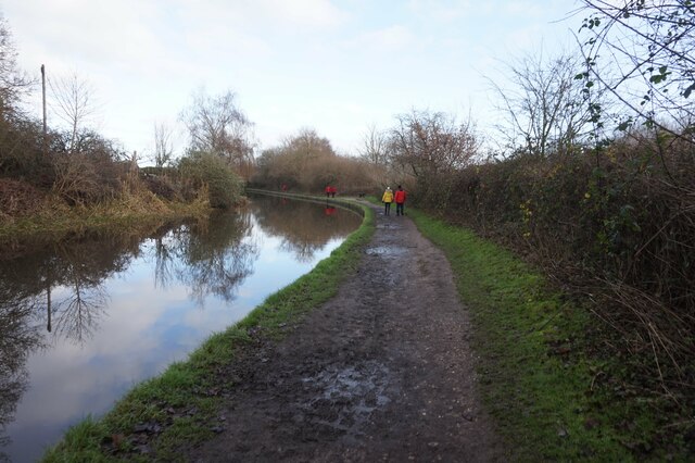
Green Plantation is a sprawling woodland located in the picturesque county of Derbyshire, England. Situated on the outskirts of the charming village of Wood, this forested area covers a vast expanse of approximately 500 acres. It is a popular destination for nature enthusiasts, hikers, and wildlife lovers alike.
The woodland is characterized by its dense canopy of mature trees, predominantly consisting of oak, beech, and birch. These trees create a serene and tranquil atmosphere, providing a haven for a diverse range of flora and fauna. The forest floor is adorned with an array of wildflowers, ferns, and mosses, adding to the area's natural beauty.
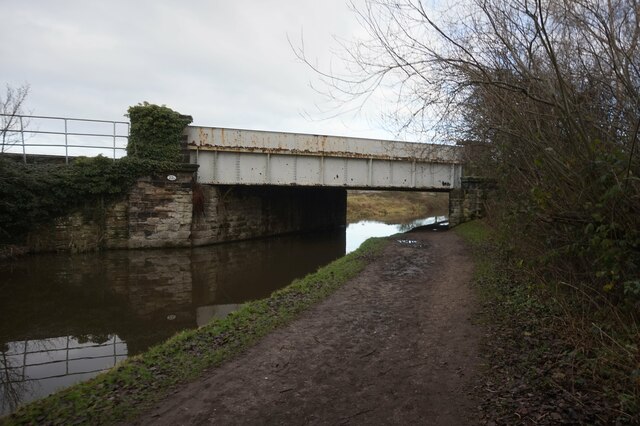
Green Plantation boasts a network of well-maintained footpaths and trails, making it an ideal location for leisurely walks and more challenging hikes. Visitors can explore the forest's hidden gems, including a charming stream that meanders through the heart of the woodland and small clearings that offer peaceful spots for picnics or relaxation.
The plantation is also home to a rich variety of wildlife. Birdwatchers can spot numerous species of birds, including woodpeckers, owls, and various songbirds. Squirrels, rabbits, and deer are commonly seen throughout the forest, adding to the sense of enchantment and tranquility.
Green Plantation is a well-managed woodland, with conservation efforts in place to protect and preserve its natural ecosystem. The local authorities work diligently to maintain the forest's beauty while ensuring a balance between human activity and nature.
In summary, Green Plantation in Derbyshire is a captivating woodland that offers visitors the opportunity to immerse themselves in nature's splendor. Its lush vegetation, diverse wildlife, and peaceful ambiance make it a must-visit destination for anyone seeking a tranquil escape from the hustle and bustle of everyday life.
If you have any feedback on the listing, please let us know in the comments section below.
Green Plantation Images
Images are sourced within 2km of 52.850834/-1.5821286 or Grid Reference SK2828. Thanks to Geograph Open Source API. All images are credited.


Green Plantation is located at Grid Ref: SK2828 (Lat: 52.850834, Lng: -1.5821286)
Administrative County: Derbyshire
District: South Derbyshire
Police Authority: Derbyshire
What 3 Words
///isolated.fumes.bloomers. Near Repton, Derbyshire
Nearby Locations
Related Wikis
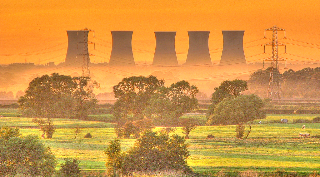
Willington Power Station
Willington Power Station is a pair of partly demolished coal-fired power stations that were constructed in the 1950s. The two stations were built on a...
Willington, Derbyshire
Willington is a village and civil parish in the South Derbyshire district of Derbyshire, England. The 2001 Census recorded a parish population of 2,604...
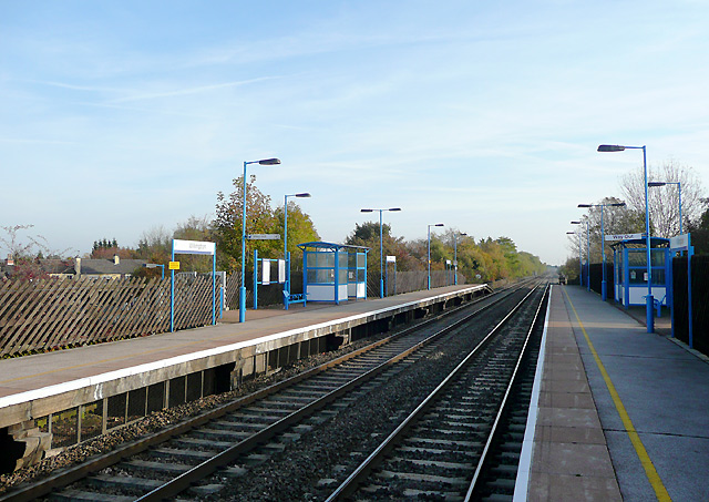
Willington railway station
Willington railway station (formerly known as Willington and Repton, Willington for Repton and Repton and Willington) serves the village of Willington...

Egginton
Egginton is a village and civil parish in the local government district of South Derbyshire, England. The population of the civil parish as of the 2011...

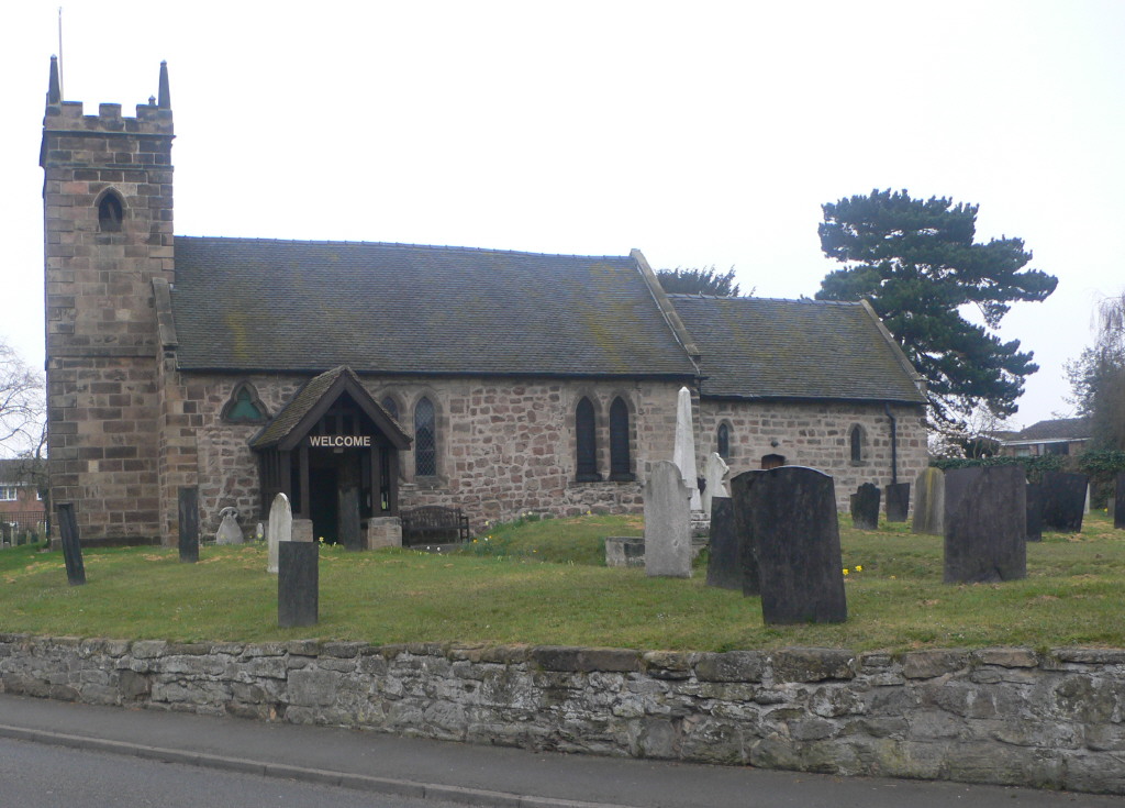
St Wilfrid's Church, Egginton
St Wilfrid's Church, Egginton is a Grade I listed parish church in the Church of England in Egginton, Derbyshire. == History == The church dates from...
Egginton railway station
Egginton railway station is a former railway station in Egginton, Derbyshire. It was opened by the North Staffordshire Railway in 1849, but closed in 1878...
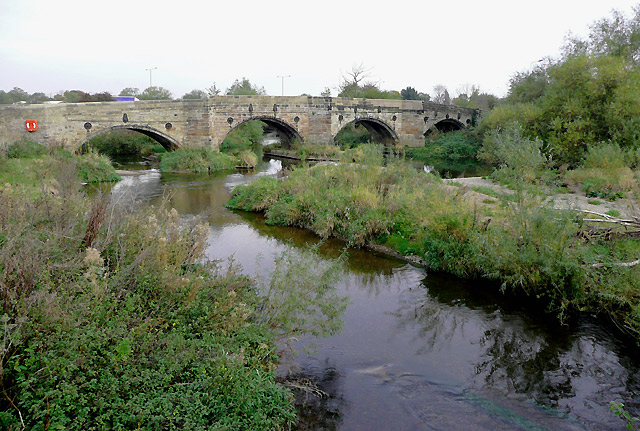
Monks Bridge, River Dove
Monks Bridge is a road bridge across the River Dove between Stretton, Staffordshire, and Egginton, Derbyshire. A bridge has existed here since the early...
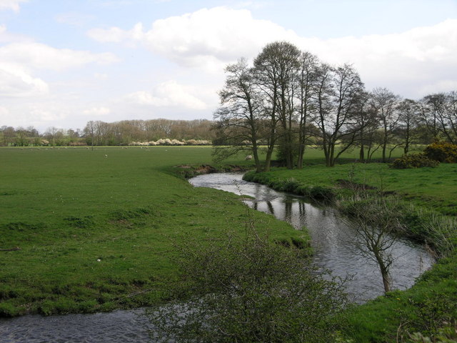
Hilton Brook
The Hilton Brook or Sutton Brook is a tributary of the River Dove in Derbyshire, England, and is 26 kilometres (16 miles) long. Like many watercourses...
Nearby Amenities
Located within 500m of 52.850834,-1.5821286Have you been to Green Plantation?
Leave your review of Green Plantation below (or comments, questions and feedback).