Barsneb Wood
Wood, Forest in Yorkshire Harrogate
England
Barsneb Wood

Barsneb Wood is a picturesque woodland located in the county of Yorkshire, England. Spanning over a vast area, this woodland is renowned for its natural beauty and rich biodiversity, making it a popular destination for nature enthusiasts and hikers alike.
The wood is characterized by its dense and diverse forest cover, consisting primarily of tall, mature trees such as oak, beech, and birch. These towering trees create a captivating canopy, providing shade and shelter for the diverse array of flora and fauna that call the wood their home.
Within Barsneb Wood, a network of well-maintained footpaths meanders through the forest, offering visitors the chance to explore its enchanting surroundings. These trails lead to hidden gems such as tranquil streams, small ponds, and open glades, providing ample opportunities for wildlife spotting and peaceful reflection.
The wood is home to a wide variety of animal species, including deer, badgers, foxes, and an abundance of birdlife. Birdwatchers can delight in the sight of species such as woodpeckers, owls, and various songbirds. The tranquil atmosphere and diverse ecosystem make the wood an ideal habitat for these creatures.
Barsneb Wood is not only a haven for wildlife but also a place of historical significance. The wood is believed to have ancient origins, with evidence of human activity dating back centuries. Historical remains, including old stone walls and ruins, can still be found within the wood, adding to its charm and intrigue.
In conclusion, Barsneb Wood is a captivating woodland in Yorkshire, offering visitors a chance to immerse themselves in nature, explore its diverse ecosystem, and appreciate its historical significance.
If you have any feedback on the listing, please let us know in the comments section below.
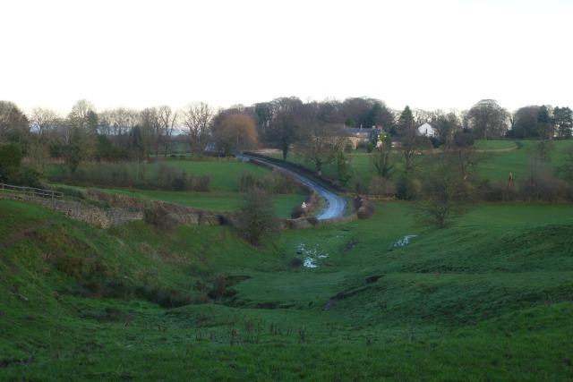
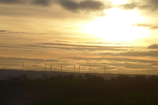
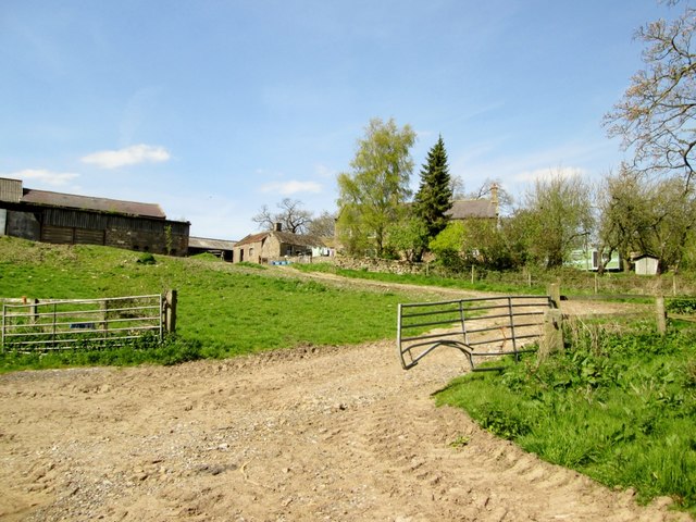
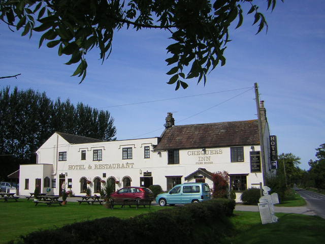
Barsneb Wood Images
Images are sourced within 2km of 54.065427/-1.5739347 or Grid Reference SE2763. Thanks to Geograph Open Source API. All images are credited.


Barsneb Wood is located at Grid Ref: SE2763 (Lat: 54.065427, Lng: -1.5739347)
Division: West Riding
Administrative County: North Yorkshire
District: Harrogate
Police Authority: North Yorkshire
What 3 Words
///summit.improvise.swooned. Near Ripon, North Yorkshire
Nearby Locations
Related Wikis
Bishop Thornton
Bishop Thornton is a village in the civil parish of Bishop Thornton, Shaw Mills and Warsill, in the Harrogate district of North Yorkshire, England. According...

Markington
Markington is a village in the Harrogate district, in the English county of North Yorkshire. The population of the civil parish (including Markenfield...

Bedlam, North Yorkshire
Bedlam is a small village in the Harrogate district of North Yorkshire, England situated north of Harrogate.Its name most likely came from Old English...

Shaw Mills
Shaw Mills is a hamlet in the civil parish of Bishop Thornton, Shaw Mills and Warsill, in Nidderdale in the Harrogate district, North Yorkshire, England...

Ripley, North Yorkshire
Ripley is a town and civil parish in North Yorkshire in England, a few miles north of Harrogate on the A61 road towards Ripon. The town name derives from...

Ripley Castle
Ripley Castle is a Grade I listed 14th-century country house in Ripley, North Yorkshire, England, 3 miles (4.8 km) north of Harrogate.The house is built...

Ripley Town Hall, North Yorkshire
Ripley Town Hall is a municipal building in Main Street, Ripley, North Yorkshire, England. The structure, which is used as an events venue and as a post...

Wormald Green railway station
Wormald Green railway station served the village of Wormald Green, Harrogate, England from 1848 to 1964 on the Leeds-Northallerton Railway. == History... ==
Nearby Amenities
Located within 500m of 54.065427,-1.5739347Have you been to Barsneb Wood?
Leave your review of Barsneb Wood below (or comments, questions and feedback).