Denham End
Settlement in Suffolk West Suffolk
England
Denham End
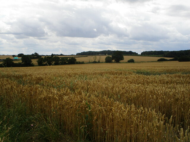
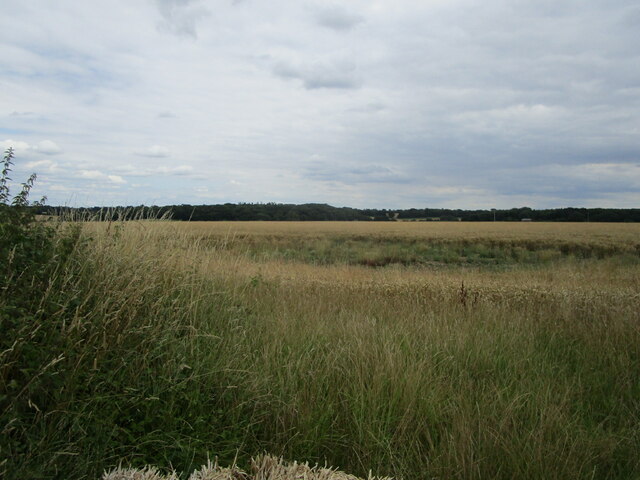
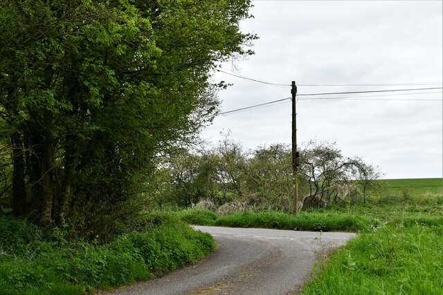
Denham End is a small village located in the county of Suffolk, England. It is situated in the Babergh district and lies approximately 10 miles southwest of the town of Ipswich. The village is nestled amidst picturesque countryside, with rolling hills and green fields surrounding it.
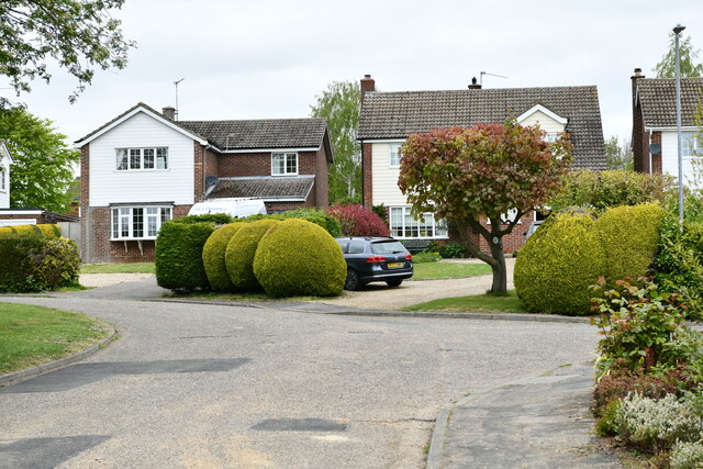
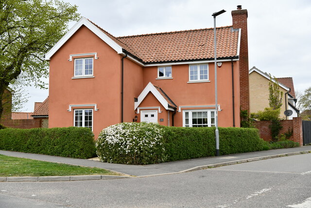
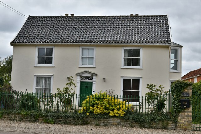
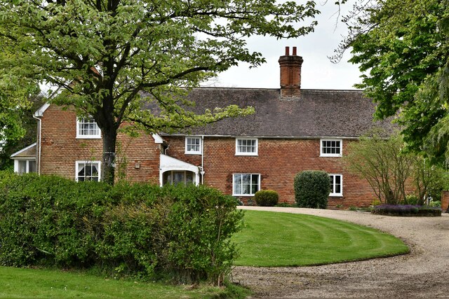
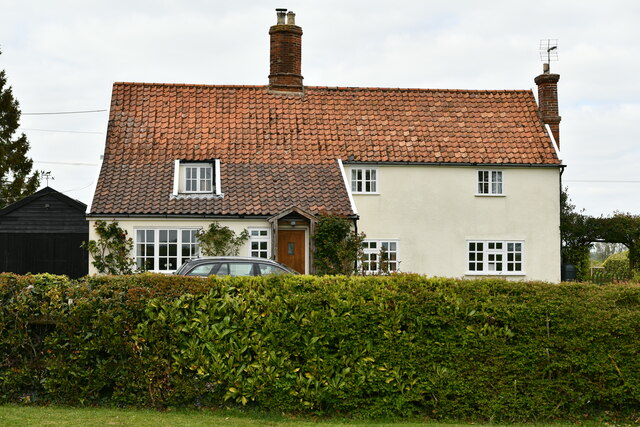
Denham End is known for its peaceful and rural atmosphere, making it an ideal destination for those seeking tranquility and a break from the hustle and bustle of city life. The village is primarily residential, consisting of a small number of houses and cottages. These properties are mostly traditional in style, reflecting the village's rich history and heritage.
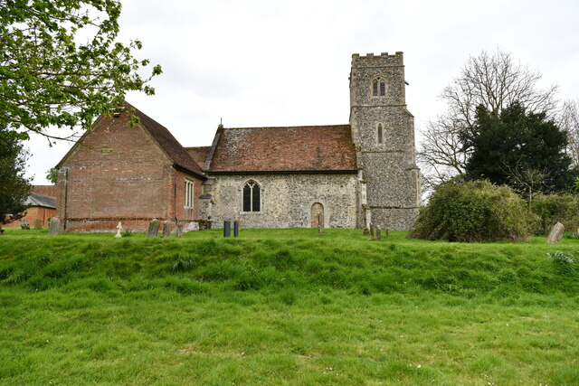
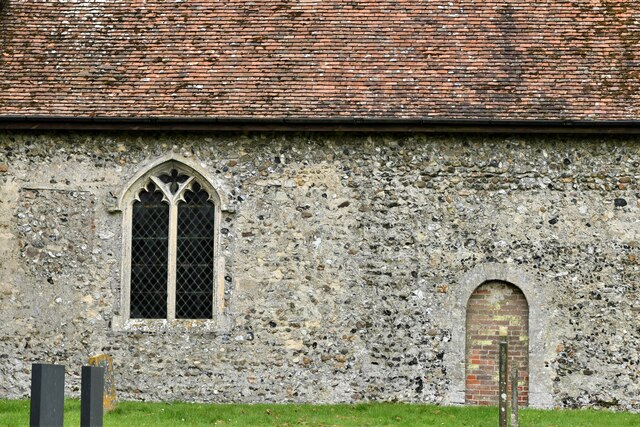
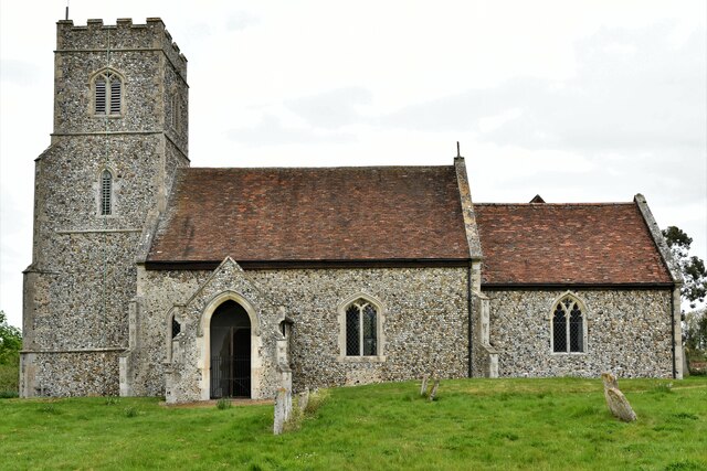
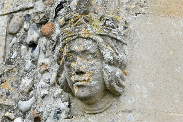
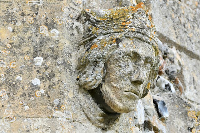
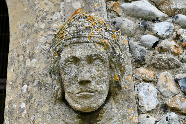
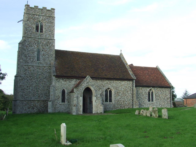
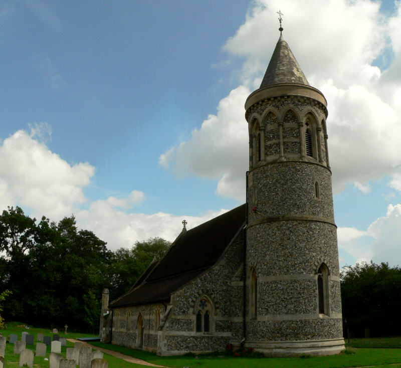
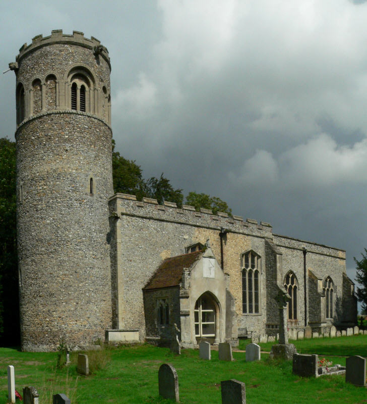
The village is also home to St. John the Baptist Church, a beautiful medieval church dating back to the 14th century. This architectural gem features stunning stained glass windows and intricate woodwork, attracting visitors from far and wide.
Despite its small size, Denham End boasts a close-knit and welcoming community. The villagers often come together for various events and activities, fostering a strong sense of camaraderie and unity.
Denham End is conveniently located near several historical and cultural attractions. Within a short drive, visitors can explore the charming market town of Hadleigh, known for its historic buildings and quaint streets. Additionally, the beautiful Dedham Vale, an Area of Outstanding Natural Beauty, is also within easy reach, offering stunning landscapes and opportunities for outdoor activities.
In summary, Denham End is a charming and idyllic village in Suffolk, offering a peaceful retreat amidst picturesque countryside. With its rich history, tight-knit community, and proximity to various attractions, it is a delightful destination for both residents and visitors alike.
If you have any feedback on the listing, please let us know in the comments section below.
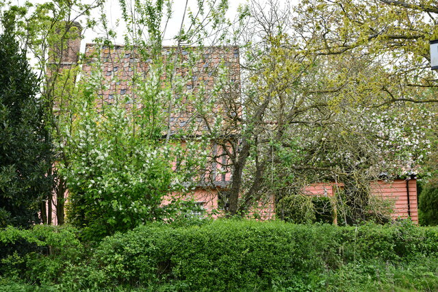
Denham End Images
Images are sourced within 2km of 52.236879/0.57791573 or Grid Reference TL7662. Thanks to Geograph Open Source API. All images are credited.


Denham End is located at Grid Ref: TL7662 (Lat: 52.236879, Lng: 0.57791573)
Administrative County: Suffolk
District: West Suffolk
Police Authority: Suffolk
What 3 Words
///madness.advising.bolsters. Near Bury St Edmunds, Suffolk
Nearby Locations
Related Wikis

Barrow, Suffolk
Barrow is a village and civil parish in the West Suffolk district of Suffolk, England, about eight miles west of Bury St Edmunds. According to Eilert Ekwall...

Denham Castle
Denham Castle, also known as Castle Holes, is a medieval motte and bailey castle near the village of Gazeley, Suffolk, England. The castle was also known...
Denham, West Suffolk
Denham is a village and civil parish in the West Suffolk district of Suffolk in eastern England. Located around five miles west of Bury St Edmunds, in...
Higham, West Suffolk
Higham is a village and civil parish in the West Suffolk district of Suffolk in the east of England. Located midway between Bury St Edmunds and Newmarket...

Great Saxham
Great Saxham is a village and former civil parish, now in the parish of The Saxhams, in the West Suffolk district, in the county of Suffolk, England. The...

Saxham Hall
Great Saxham Hall is a two-storey Palladian house situated at Great Saxham, just outside Bury St Edmunds in Suffolk, England. It is a Grade II* listed...

Desning Hall
Desning Hall was a manor house in Risbridge Hundred, in Suffolk, England, dating from Anglo-Saxon times. Desning Hall's last resident was Sidney Arthur...
Little Saxham
Little Saxham is a village and former civil parish, now in the parish of The Saxhams, in the West Suffolk district, in the county of Suffolk, England....
Related Videos

Family Camping at Churchview Campsite Suffolk UK
Another weekend campsite review I feel like its a mission now, to visit as many countys as possible this summer! Mame sure ...
Nearby Amenities
Located within 500m of 52.236879,0.57791573Have you been to Denham End?
Leave your review of Denham End below (or comments, questions and feedback).