Aldridgehill Inclosure
Wood, Forest in Hampshire New Forest
England
Aldridgehill Inclosure

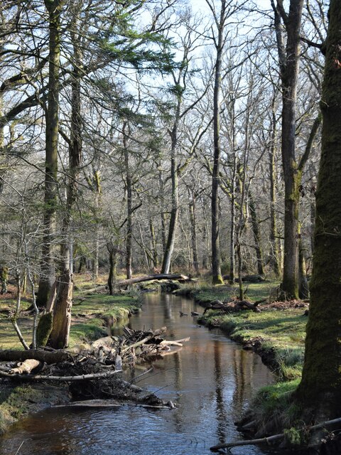
Aldridgehill Inclosure is a wood located in the county of Hampshire, England. Situated near the village of Lyndhurst in the New Forest, it covers an area of approximately 100 hectares. This ancient woodland is managed by the Forestry Commission and forms part of the larger New Forest National Park.
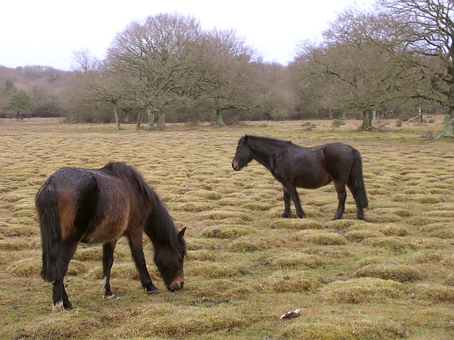
The Inclosure is predominantly composed of deciduous trees such as oak, beech, and birch. These trees provide a diverse habitat for a wide range of wildlife, including deer, squirrels, and various bird species. The forest floor is covered in a rich carpet of ferns, mosses, and wildflowers, adding to the area's natural beauty.
Aldridgehill Inclosure offers a variety of recreational activities for visitors, including walking, cycling, and horse riding. There are several well-marked trails that lead through the wood, allowing visitors to explore its tranquil surroundings. The Inclosure also has a picnic area, making it a popular spot for families and nature enthusiasts to enjoy a day out in the forest.
The wood holds historical significance as it was once part of a royal hunting ground during medieval times. The Inclosure's name is derived from the Old English word "inclos", meaning a fenced or enclosed area, indicating its past as a hunting ground.
Overall, Aldridgehill Inclosure is a picturesque woodland in Hampshire's New Forest National Park, offering visitors the opportunity to immerse themselves in nature and enjoy the serene beauty of this ancient forest.
If you have any feedback on the listing, please let us know in the comments section below.
Aldridgehill Inclosure Images
Images are sourced within 2km of 50.828036/-1.6098054 or Grid Reference SU2703. Thanks to Geograph Open Source API. All images are credited.


Aldridgehill Inclosure is located at Grid Ref: SU2703 (Lat: 50.828036, Lng: -1.6098054)
Administrative County: Hampshire
District: New Forest
Police Authority: Hampshire
What 3 Words
///ironic.delved.sparks. Near Brockenhurst, Hampshire
Nearby Locations
Related Wikis

Warwickslade Cutting Railway
The Warwickslade Cutting Railway was a light railway temporarily built to fill in the Warwickslade Cutting, a straight drainage ditch dug circa 1850 in...
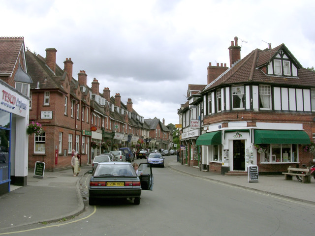
Brockenhurst
Brockenhurst is the largest village by population within the New Forest in Hampshire, England. The nearest city is Southampton some 13 miles (21 km) to...

Brockenhurst F.C.
Brockenhurst Football Club is a football club based in Brockenhurst, near Lymington, in Hampshire, England. They are currently members of the Wessex League...
Brockenhurst Church of England Primary School
Brockenhurst School, now Brockenhurst Church of England Primary School, is a former charity school in the English village of Brockenhurst, Hampshire. It...

New Forest West (UK Parliament constituency)
New Forest West is a constituency represented in the House of Commons of the UK Parliament since 1997 by Desmond Swayne, a Conservative. == Constituency... ==
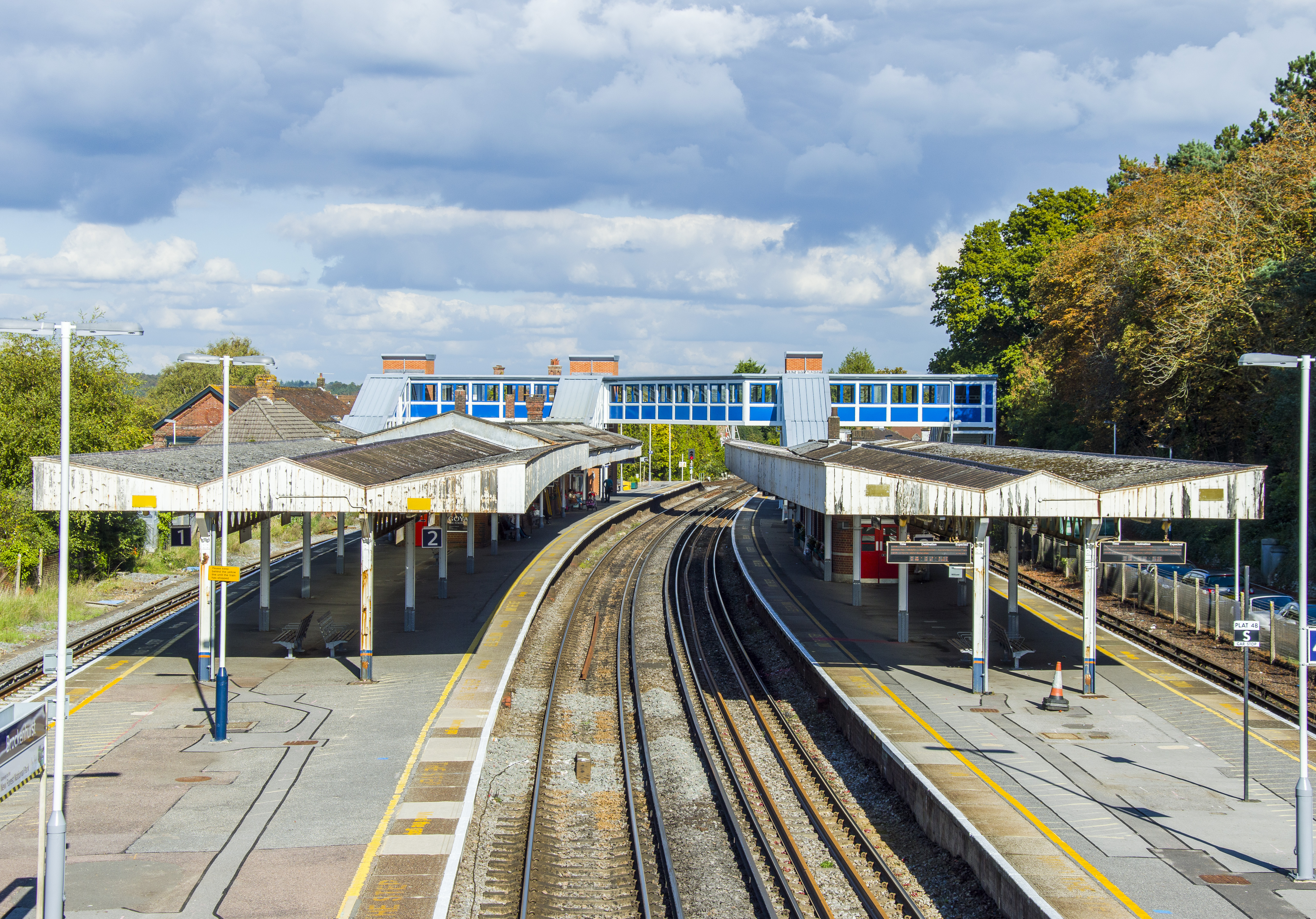
Brockenhurst railway station
Brockenhurst railway station serves the largest village of Brockenhurst in Hampshire, England. It is located on the South West Main Line from London Waterloo...

Brockenhurst College
Brockenhurst College is a large tertiary college situated in Brockenhurst, Hampshire. Co-educational since the 1920s, Brockenhurst College accepts students...
Balmer Lawn
Balmer Lawn is the name of a large New Forest Lawn located in an amphitheatre of woodland in the New Forest National Park in Hampshire, England. It is...
Nearby Amenities
Located within 500m of 50.828036,-1.6098054Have you been to Aldridgehill Inclosure?
Leave your review of Aldridgehill Inclosure below (or comments, questions and feedback).