Upper Frenchmoor Copse
Wood, Forest in Hampshire Test Valley
England
Upper Frenchmoor Copse
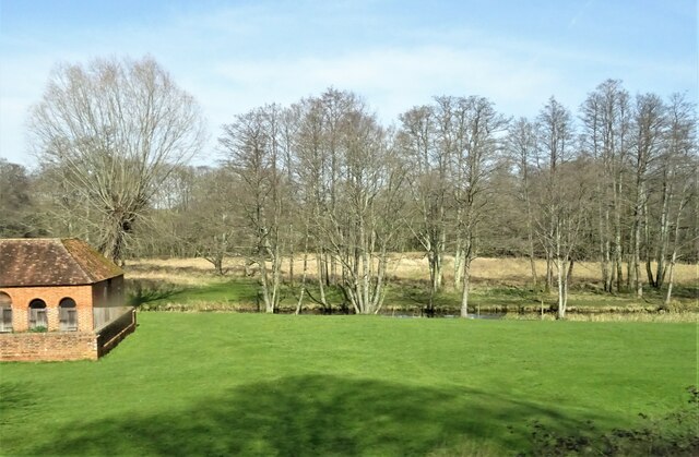
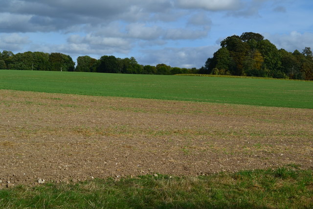
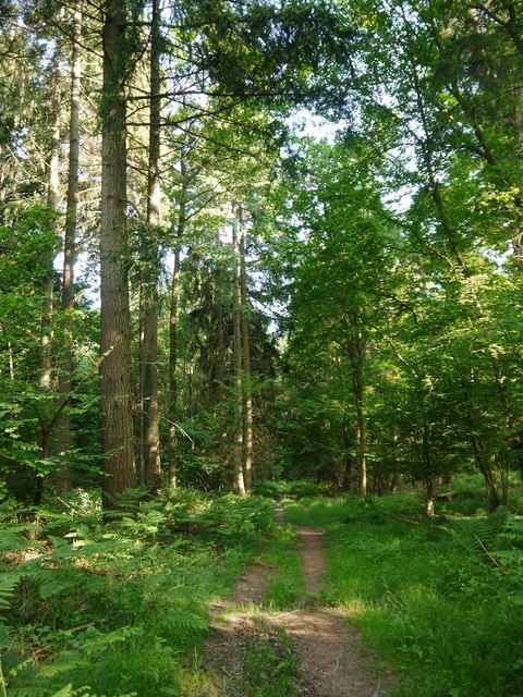
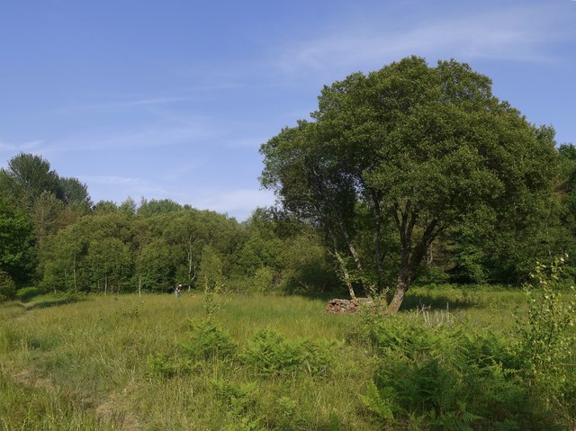
Upper Frenchmoor Copse is a picturesque woodland located in the county of Hampshire, England. Covering an area of approximately 50 acres, this forest boasts a diverse range of flora and fauna, making it a haven for nature enthusiasts and wildlife lovers alike.
The copse is primarily composed of deciduous trees, including oak, beech, and birch, which create a rich and vibrant canopy during the summer months. These towering trees provide ample shade and shelter for the various species of wildlife that call Upper Frenchmoor Copse home.
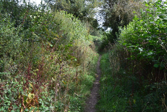
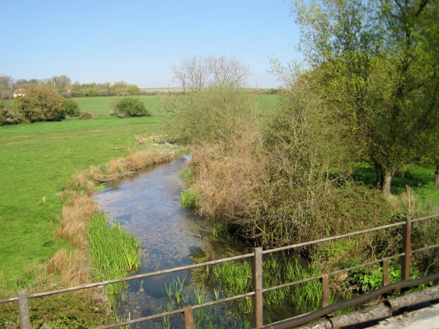
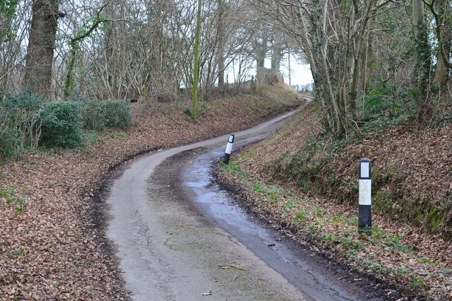
As you explore the woodland, you will find an extensive network of well-maintained footpaths, allowing visitors to wander through the forest and discover its hidden treasures. The enchanting atmosphere of the copse is further enhanced by the presence of a gentle stream that meanders through the heart of the woodland, adding to its natural beauty.
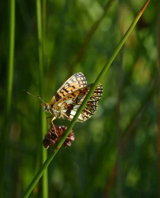
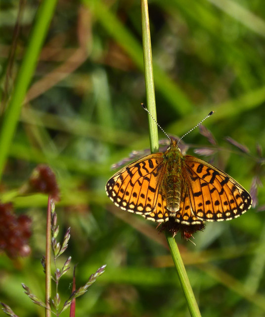
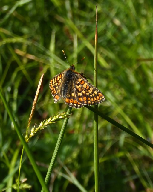
The copse is home to a wide array of wildlife, including deer, badgers, foxes, and a variety of bird species. Birdwatchers will be delighted to spot woodpeckers, jays, and tawny owls, among others, while wildflower enthusiasts can admire the carpets of bluebells and primroses that adorn the forest floor in springtime.
Upper Frenchmoor Copse is a popular destination for outdoor activities such as hiking, birdwatching, and photography. The peaceful ambiance of the woodland makes it an ideal spot for nature lovers seeking tranquility and a connection with the natural world. Whether you are a seasoned explorer or simply looking for a peaceful retreat, Upper Frenchmoor Copse is sure to leave a lasting impression.
If you have any feedback on the listing, please let us know in the comments section below.
Upper Frenchmoor Copse Images
Images are sourced within 2km of 51.054988/-1.6080309 or Grid Reference SU2728. Thanks to Geograph Open Source API. All images are credited.

Upper Frenchmoor Copse is located at Grid Ref: SU2728 (Lat: 51.054988, Lng: -1.6080309)
Administrative County: Hampshire
District: Test Valley
Police Authority: Hampshire
What 3 Words
///brew.ankle.elbowing. Near East Dean, Hampshire
Nearby Locations
Related Wikis

Frenchmoor
Frenchmoor is a hamlet and civil parish in the Test Valley district of Hampshire, England, close to the border with Wiltshire. According to the 2001 census...

West Tytherley
West Tytherley is a village and civil parish in the Test Valley district of Hampshire, England. Its nearest town is Stockbridge, which lies approximately...
East Tytherley
East Tytherley is a small village in Hampshire, England.The name Tytherley comes from Old English and means thin or tender wood.The village was given to...
East Dean, Hampshire
East Dean is a civil parish and small village in the Test Valley district of Hampshire, England, about 6 miles (10 km) northwest of Romsey. The village...

River Dun (River Test)
The River Dun is a tributary of the River Test in southern England, which flows for 18.3 km (11.4 miles) in a generally easterly direction through rural...
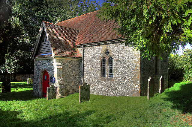
Borbach Chantry
Borbach Chantry, West Dean, in south-east Wiltshire, England, was built in 1333. It is recorded in the National Heritage List for England as a Grade I...
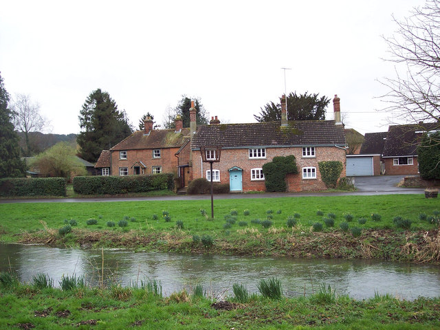
West Dean, Wiltshire
West Dean is a village and civil parish in southeast Wiltshire, England; the Wiltshire/Hampshire border runs through the eastern part of the village. The...
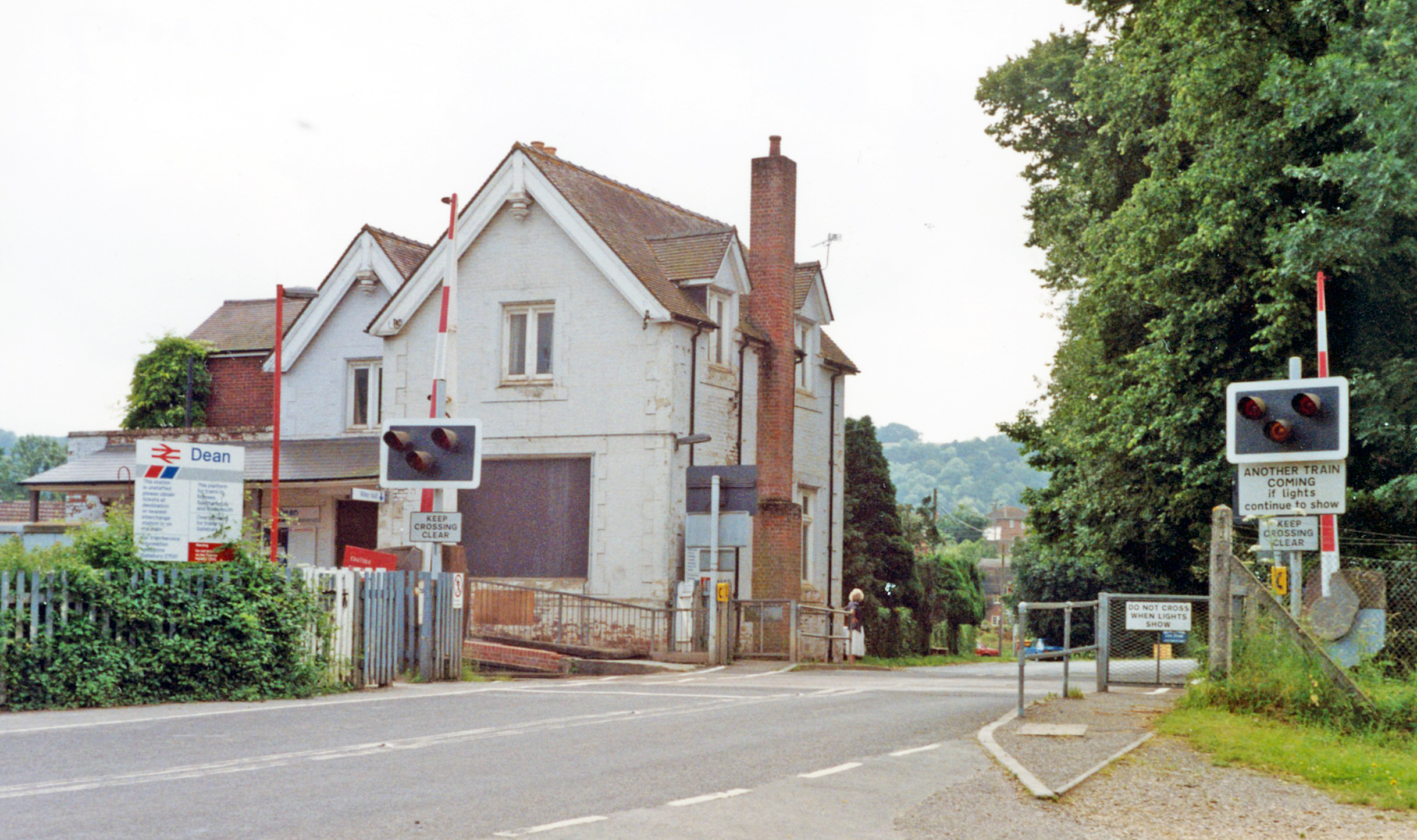
Dean railway station
Dean railway station, also shown as Dean (Wilts), serves the village of West Dean in Wiltshire, England. The station is on the Wessex Main Line, 88 miles...
Nearby Amenities
Located within 500m of 51.054988,-1.6080309Have you been to Upper Frenchmoor Copse?
Leave your review of Upper Frenchmoor Copse below (or comments, questions and feedback).