Bottoms Wood
Wood, Forest in Derbyshire Amber Valley
England
Bottoms Wood
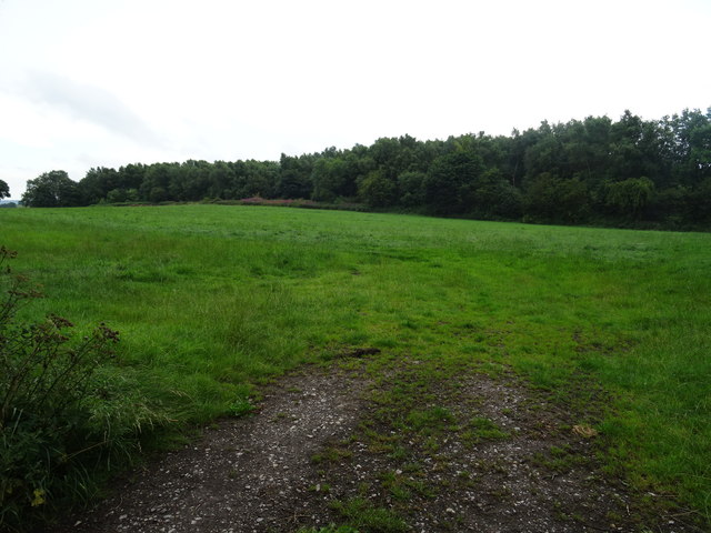
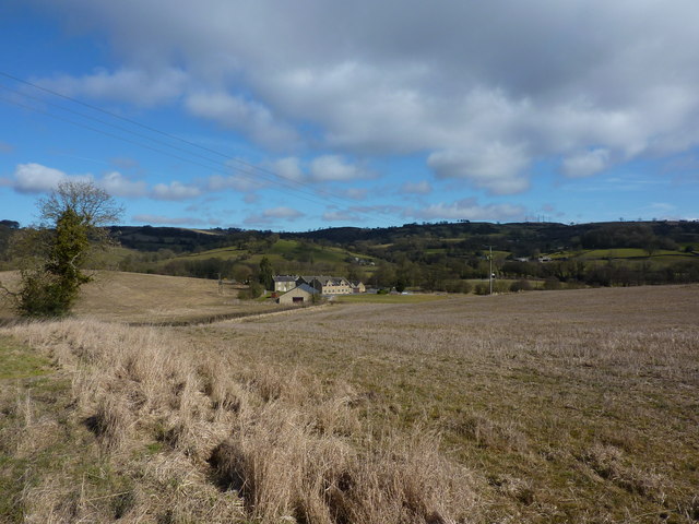
Bottoms Wood is a picturesque woodland located in the county of Derbyshire, England. Covering an area of approximately 100 acres, this enchanting forest is nestled within the heart of the Peak District National Park, renowned for its natural beauty and diverse wildlife.
The wood boasts a rich and varied history, with evidence of human habitation dating back to the Bronze Age. The ancient woodland is predominantly composed of oak and beech trees, creating a dense canopy that provides a habitat for a wide range of flora and fauna.
Visitors to Bottoms Wood can traverse the well-maintained footpaths that meander through the forest, allowing for a peaceful and tranquil experience. The woodland floor is adorned with a carpet of wildflowers in the spring and summer months, adding to its ethereal charm. The vibrant colors and fragrances attract a plethora of insects, including butterflies and bees.
Nature enthusiasts will find Bottoms Wood to be a haven for birdwatching, as it is home to numerous species, such as woodpeckers and owls. Additionally, small mammals like foxes, badgers, and squirrels can often be spotted scurrying among the undergrowth.
The wood is well-equipped with facilities to accommodate visitors, including picnic areas and benches for relaxation. The surrounding area offers ample opportunities for outdoor activities, such as hiking and cycling, making Bottoms Wood an ideal destination for nature lovers and outdoor enthusiasts alike.
Overall, Bottoms Wood is a captivating woodland that showcases the natural beauty and biodiversity of Derbyshire. Its serene atmosphere and stunning scenery make it a must-visit destination for those seeking to connect with nature.
If you have any feedback on the listing, please let us know in the comments section below.
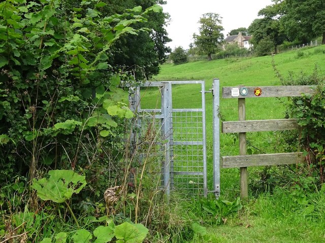
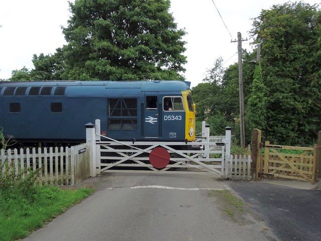
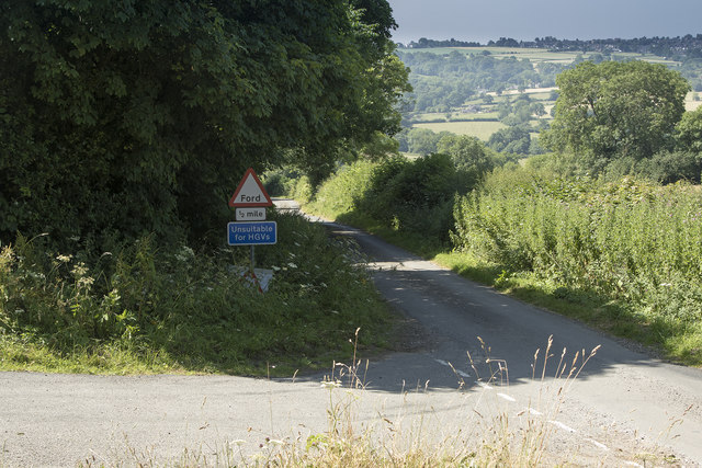
Bottoms Wood Images
Images are sourced within 2km of 53.047414/-1.590464 or Grid Reference SK2750. Thanks to Geograph Open Source API. All images are credited.


Bottoms Wood is located at Grid Ref: SK2750 (Lat: 53.047414, Lng: -1.590464)
Administrative County: Derbyshire
District: Amber Valley
Police Authority: Derbyshire
What 3 Words
///odds.recap.climate. Near Wirksworth, Derbyshire
Nearby Locations
Related Wikis

Holy Trinity Church, Kirk Ireton
Holy Trinity Church, Kirk Ireton, is a Grade I listed parish church in the Church of England in Kirk Ireton, Derbyshire. == History == The church dates...

Kirk Ireton
Kirk Ireton is a village and civil parish in Derbyshire, England, 4 miles (6.4 km) southwest of Wirksworth on a hillside near Carsington Water, 700 feet...

Idridgehay
Idridgehay is a village in the civil parish of Idridgehay and Alton, in the Amber Valley district of Derbyshire, England. The population of this parish...
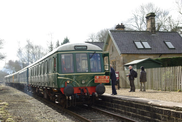
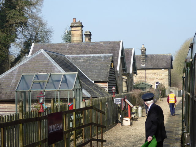
Idridgehay railway station
Idridgehay railway station is an intermediate station on the former Midland Railway branch line to the town of Wirksworth in Derbyshire. Off the Midland...
Alderwasley Hall Sixth Form Centre
Alderwasley Hall Sixth Form is an independent special needs Sixth Form Centre located one mile south of Wirksworth in Derbyshire it is part of Alderwasley...

Biggin by Hulland
Biggin is a village and civil parish in the Derbyshire Dales district of Derbyshire, England, near Hulland and just off the A517 road. In the 2011 census...
Idridgehay and Alton
Idridgehay and Alton is a civil parish in the Amber Valley district of Derbyshire, England. The population of the civil parish taken at the 2011 Census...

Callow, Derbyshire
Callow is a village and a civil parish in the Derbyshire Dales District, in the English county of Derbyshire. At the 2011 Census the population of the...
Nearby Amenities
Located within 500m of 53.047414,-1.590464Have you been to Bottoms Wood?
Leave your review of Bottoms Wood below (or comments, questions and feedback).