Flaxen Hill Covert
Wood, Forest in Warwickshire Stratford-on-Avon
England
Flaxen Hill Covert

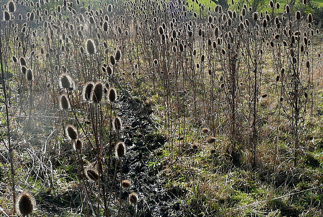
Flaxen Hill Covert is a woodland area located in Warwickshire, England. Situated in the heart of the county, it covers an approximate area of 100 acres. The covert is renowned for its picturesque landscape, featuring a dense forest of predominantly flaxen-colored trees, hence its name.
The woodland is known for its rich biodiversity, housing a diverse range of flora and fauna. The thick canopy of trees provides a habitat for a variety of bird species, making it a popular spot for birdwatchers. Visitors can often catch glimpses of birds such as woodpeckers, owls, and various songbirds.
The forest floor is carpeted with an array of wildflowers and ferns, creating a vibrant and enchanting atmosphere. The presence of these plants supports a thriving ecosystem, attracting various insects and small mammals. It is not uncommon to spot rabbits, squirrels, and even deer within the covert.
Flaxen Hill Covert is a favorite destination for nature enthusiasts and hikers, offering several walking trails that wind through the forest. The well-maintained paths provide opportunities for leisurely strolls or more vigorous hikes, accommodating individuals of all ages and fitness levels.
The woodland is managed by the local conservation authority, ensuring the preservation of the natural habitat and promoting sustainable practices. Visitors are encouraged to respect the environment, refraining from littering and staying on designated paths to minimize disturbance to the wildlife.
Overall, Flaxen Hill Covert is a captivating woodland retreat, offering a tranquil escape into nature. Its stunning beauty and abundant wildlife make it a must-visit destination for those seeking solace in the great outdoors.
If you have any feedback on the listing, please let us know in the comments section below.
Flaxen Hill Covert Images
Images are sourced within 2km of 52.040437/-1.6014735 or Grid Reference SP2738. Thanks to Geograph Open Source API. All images are credited.


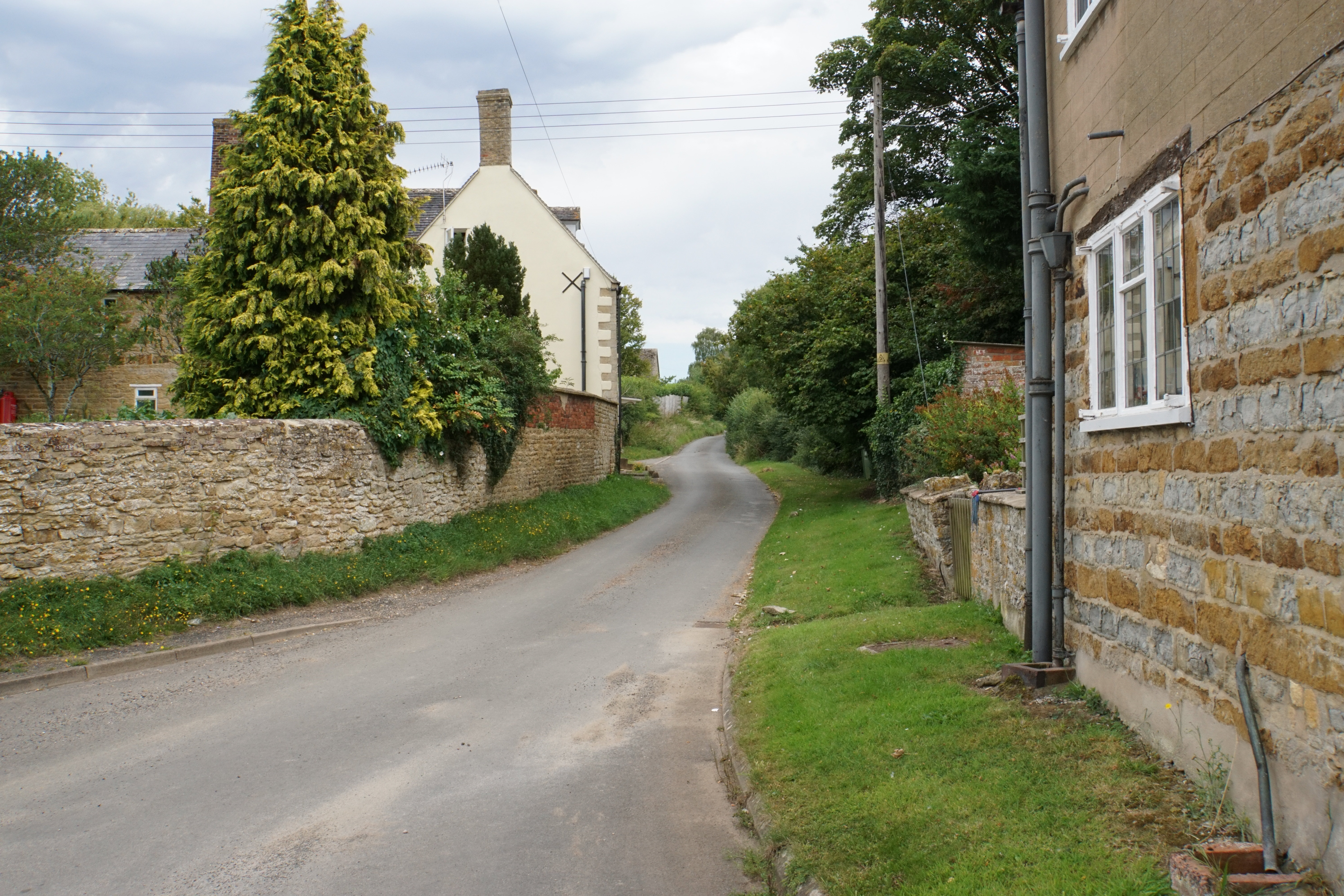
![Wolford Fields Farm [1] The farm is offering a variety of produce and other services. Perhaps the logs go well with the raspberries. The A3400 road is to the right.](https://s2.geograph.org.uk/geophotos/02/72/49/2724926_50fde11f.jpg)
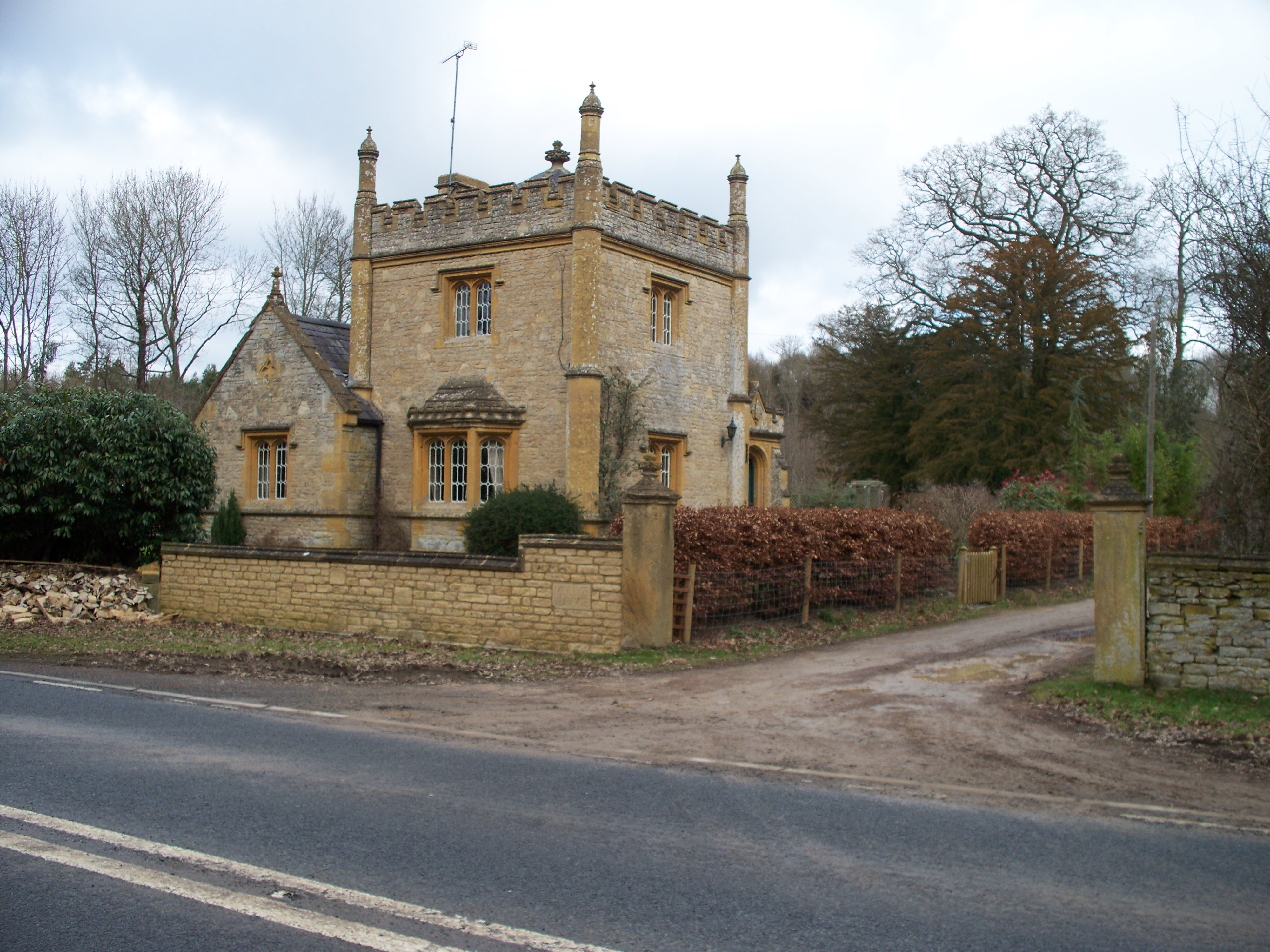
![Wolford Fields Farm [2] The working part of the farm, seen from the A3400 road.](https://s3.geograph.org.uk/geophotos/02/72/83/2728363_ec6d78f7.jpg)
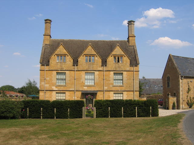
![Wolford Fields Farm [3] The farmhouse, seen from the A3400 road.](https://s0.geograph.org.uk/geophotos/02/72/83/2728372_c326638b.jpg)


Flaxen Hill Covert is located at Grid Ref: SP2738 (Lat: 52.040437, Lng: -1.6014735)
Administrative County: Warwickshire
District: Stratford-on-Avon
Police Authority: Warwickshire
What 3 Words
///pining.bubble.tonal. Near Shipston on Stour, Warwickshire
Nearby Locations
Related Wikis
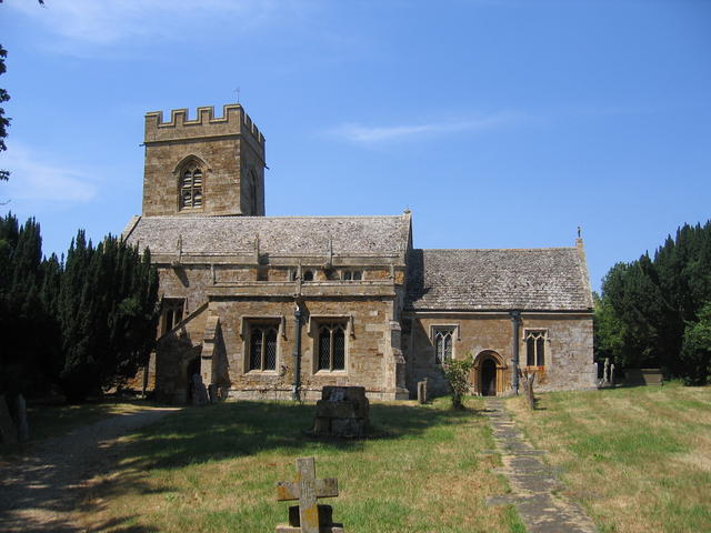
Barcheston
Barcheston is a village and civil parish in the Stratford-on-Avon district of Warwickshire, England. The village is on the east bank of the River Stour...
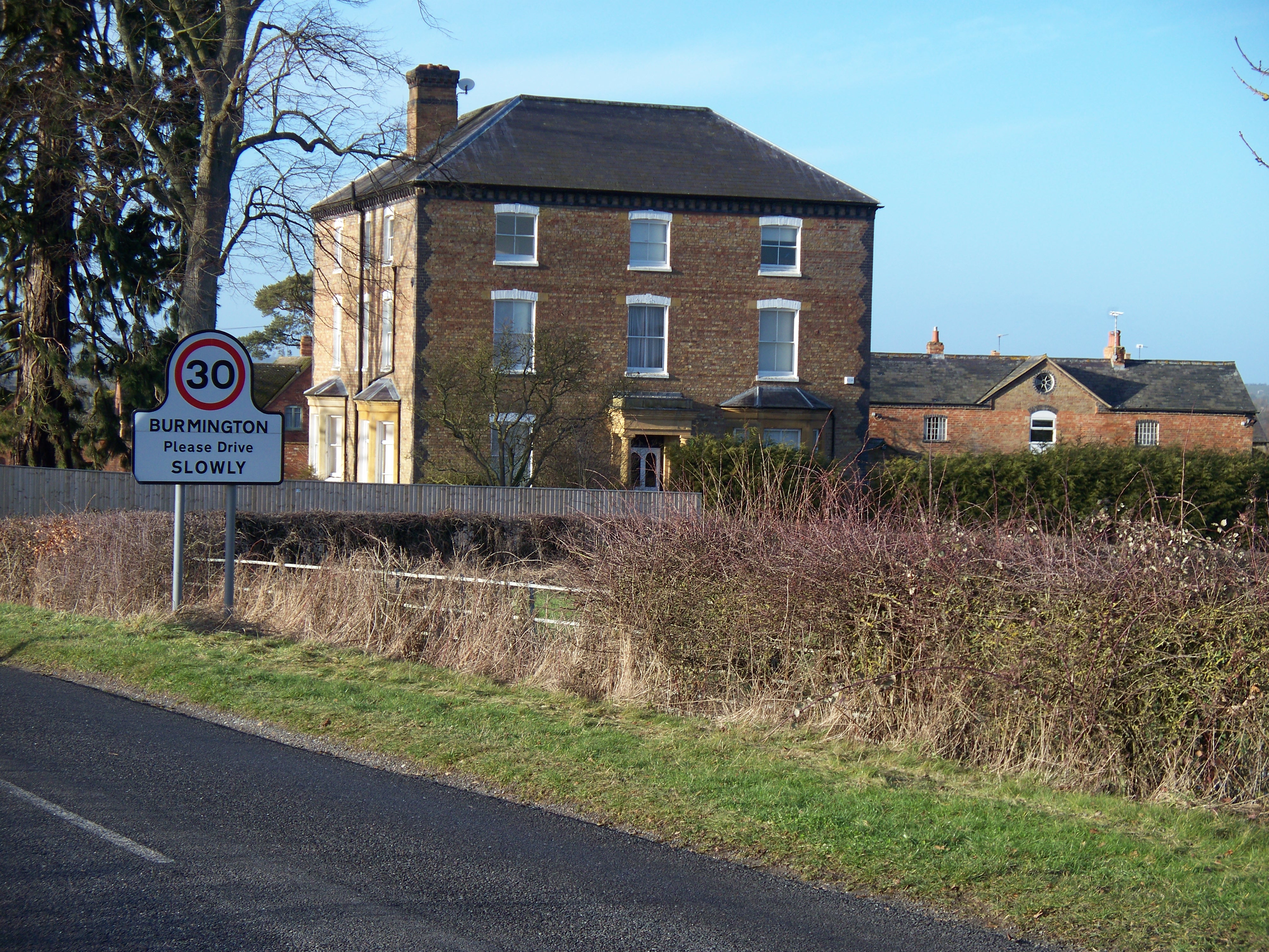
Burmington
Burmington is a village and civil parish in Warwickshire, England. It is 2 miles (3 km) south of Shipston-on-Stour. The population at the 2001 Census was...
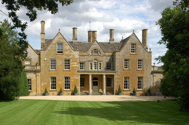
Tidmington
Tidmington is a village and civil parish in the Stratford-on-Avon District of Warwickshire, England. It is 11 miles (18 km) south from the town of Stratford...
Willington, Warwickshire
Willington is a village in Warwickshire, England. Population details are included within Barcheston. The origin of the place-name is from Old English tun...
Stourton, Warwickshire
Stourton is a village and civil parish beside the River Stour about 3 miles (5 km) southeast of Shipston-on-Stour. The population taken at the 2011 census...
Cherington, Warwickshire
Cherington is a village and civil parish beside the River Stour about 3 miles (5 km) southeast of Shipston-on-Stour. Cherington is contiguous with the...

Evolution of Worcestershire county boundaries since 1844
The administrative boundaries of Worcestershire, England have been fluid for over 150 years since the first major changes in 1844. There were many detached...

Shipston-on-Stour Rural District
Shipston on Stour was a rural district in England from 1894 to 1974. [1] The district covered an area around Shipston-on-Stour. Originally it was a detached...
Nearby Amenities
Located within 500m of 52.040437,-1.6014735Have you been to Flaxen Hill Covert?
Leave your review of Flaxen Hill Covert below (or comments, questions and feedback).