Bog Wood

Wood, Forest in Durham

England

Bog Wood

A maiden century at The Riverside Late on the second day of a County Championship match, Nottinghamshire's young all-rounder Lyndon James turned a ball to leg for a single to reach his first First Class century. With opener Ben Slater, who went on to score 225 not out (his first double century), James shared a partnership of 220 for the fourth wicket, enabling the visitors to declare with a large first-innings lead the following afternoon and bowl out Durham cheaply to win by an innings with a day to spare.

Durham (230 and 117) lost to Notts (488 for 9 declared) by an innings and 141 runs.
A maiden century at The Riverside Credit: John Sutton

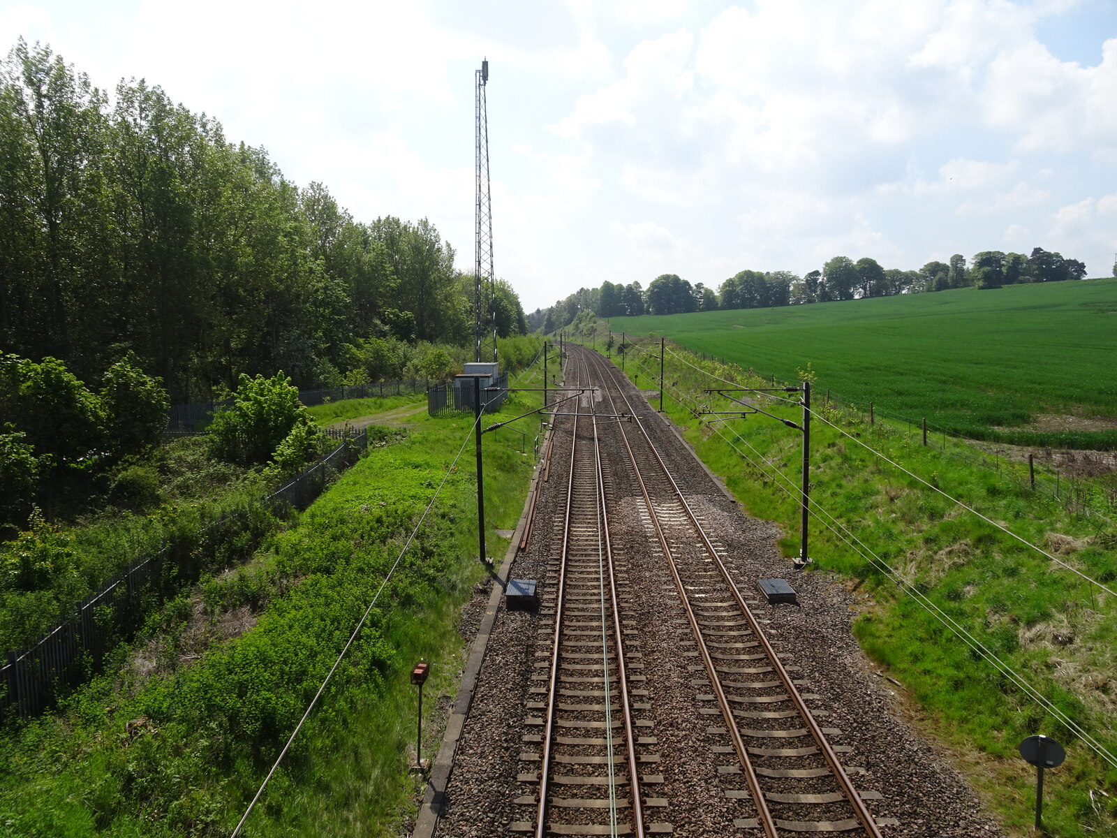
Bog Wood, located in Durham, England, is a remarkable forest area that is renowned for its unique geological features and diverse flora and fauna. Spanning over a vast expanse of approximately 500 hectares, Bog Wood is a designated Site of Special Scientific Interest (SSSI) due to its exceptional ecological importance.

The forest is characterized by its wetland habitat, which is dominated by peat bogs and marshes. These wetland areas are particularly notable as they are home to a wide range of plant species that have adapted to the waterlogged conditions. Visitors to Bog Wood can witness a plethora of vibrant wildflowers such as marsh orchids, bog cotton, and sundew, as well as various types of mosses and ferns.

The forest also boasts an impressive array of wildlife. Bird enthusiasts can spot species like the rare nightjar, woodcock, and several species of warblers, while mammals such as deer, foxes, and badgers roam the woodland. Bog Wood is also home to a variety of amphibians and reptiles, including frogs, toads, newts, and adders.

For those interested in geology, Bog Wood offers a fascinating glimpse into the past. The forest is situated on the Durham Coalfield, which was formed during the Carboniferous Period around 300 million years ago. Fossilized tree stumps, known as "coal balls," can still be found in the area, providing evidence of the ancient forests that once covered the land.

Bog Wood is a haven for nature enthusiasts, offering a serene and beautiful environment to explore and discover the wonders of wetland ecosystems. With its rich biodiversity and geological significance, this forest stands as a testament to the natural heritage of Durham.

If you have any feedback on the listing, please let us know in the comments section below.

Bog Wood Images

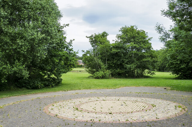
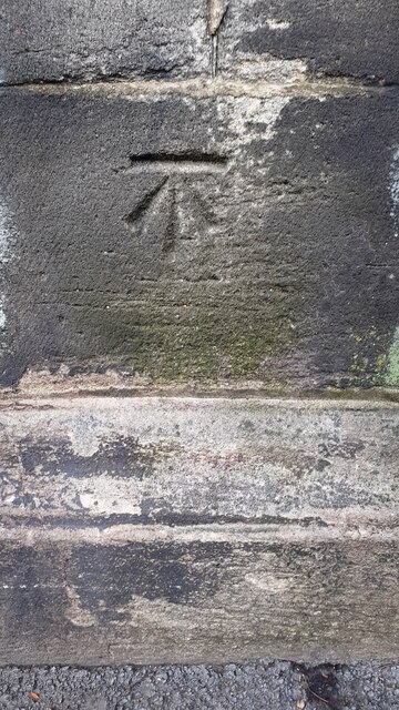
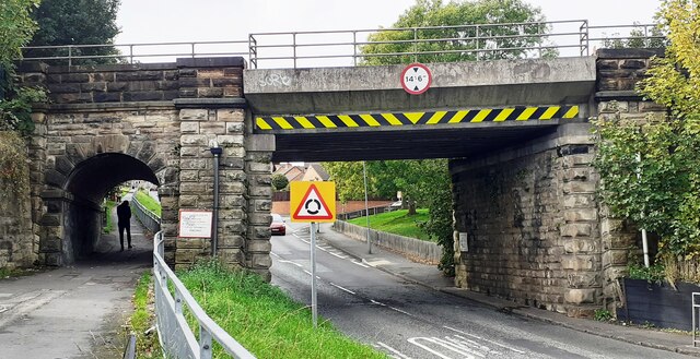
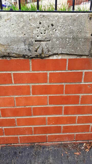
Images are sourced within 2km of 54.834362/-1.57477 or Grid Reference NZ2748. Thanks to Geograph Open Source API. All images are credited.

A maiden century at The Riverside Late on the second day of a County Championship match, Nottinghamshire's young all-rounder Lyndon James turned a ball to leg for a single to reach his first First Class century. With opener Ben Slater, who went on to score 225 not out (his first double century), James shared a partnership of 220 for the fourth wicket, enabling the visitors to declare with a large first-innings lead the following afternoon and bowl out Durham cheaply to win by an innings with a day to spare.

Durham (230 and 117) lost to Notts (488 for 9 declared) by an innings and 141 runs.
A maiden century at The Riverside
Late on the second day of a County Championship match, Nottinghamshire's young all-rounder Lyndon James turned a ball to leg for a single to reach his first First Class century. With opener Ben Slater, who went on to score 225 not out (his first double century), James shared a partnership of 220 for the fourth wicket, enabling the visitors to declare with a large first-innings lead the following afternoon and bowl out Durham cheaply to win by an innings with a day to spare. Durham (230 and 117) lost to Notts (488 for 9 declared) by an innings and 141 runs.
Chester-le-Street: across Riverside Leisure Complex A foreshortened telephoto view across the running track and football pitch from the Riverside Cricket Ground, with the farm at Lumley Riding on the skyline high above the River Wear.
Chester-le-Street: across Riverside Leisure Complex
A foreshortened telephoto view across the running track and football pitch from the Riverside Cricket Ground, with the farm at Lumley Riding on the skyline high above the River Wear.
Brick feature at Waldridge Millennium Green Waldridge Millennium Green is a park in the southern part of the County Durham town of Chester-le-Street; it takes its name from the nearby village at Waldridge and the area of lowland heath, Waldridge Fell.
The foreground brick feature has hundreds of bricks, partly arranged concentrically, most of which have designs by children on their exposed faces.
Brick feature at Waldridge Millennium Green
Waldridge Millennium Green is a park in the southern part of the County Durham town of Chester-le-Street; it takes its name from the nearby village at Waldridge and the area of lowland heath, Waldridge Fell. The foreground brick feature has hundreds of bricks, partly arranged concentrically, most of which have designs by children on their exposed faces.
Benchmark on #29 Waldridge Road Ordnance Survey cut mark benchmark levelled at 55.385m above Newlyn Datum verified in 1962
Benchmark on #29 Waldridge Road
Ordnance Survey cut mark benchmark levelled at 55.385m above Newlyn Datum verified in 1962
Houses on south side of Waldridge Road There is an Ordnance Survey benchmark <a href="https://www.geograph.org.uk/photo/7313860">NZ2650 : Benchmark on #29 Waldridge Road</a> on the corner of the nearest house, left of a black downpipe
Houses on south side of Waldridge Road
There is an Ordnance Survey benchmark NZ2650 : Benchmark on #29 Waldridge Road on the corner of the nearest house, left of a black downpipe
Benchmark on wall pier at entrance to cemetery on south side of Ropery Lane Ordnance Survey cut mark benchmark levelled at 18.376m above Newlyn Datum verified 1962
Benchmark on wall pier at entrance to cemetery on south side of Ropery Lane
Ordnance Survey cut mark benchmark levelled at 18.376m above Newlyn Datum verified 1962
Entrance to cemetery on south side of Ropery Road There is an Ordnance Survey benchmark <a href="https://www.geograph.org.uk/photo/7314736">NZ2750 : Benchmark on wall pier at entrance to cemetery on south side of Ropery Lane</a> on the wall pier near the right hand edge of the image
Entrance to cemetery on south side of Ropery Road
There is an Ordnance Survey benchmark NZ2750 : Benchmark on wall pier at entrance to cemetery on south side of Ropery Lane on the wall pier near the right hand edge of the image
View along Waldridge Road with bus stop on NW side
Bridge ECM5 219 taking East Coast Main Line over West Lane Ordnance Survey documents indicate that a rivet benchmark levelled at 32.803m above Newlyn Datum was verified in 1962 on the bridge wall, at its far end, on the right hand side of the road
Bridge ECM5 219 taking East Coast Main Line over West Lane
Ordnance Survey documents indicate that a rivet benchmark levelled at 32.803m above Newlyn Datum was verified in 1962 on the bridge wall, at its far end, on the right hand side of the road
Benchmark on wall fronting Evangel Church west side of Durham Road Ordnance Survey cut mark benchmark levelled at 25.305m above Newlyn Datum verified 1964
Benchmark on wall fronting Evangel Church west side of Durham Road
Ordnance Survey cut mark benchmark levelled at 25.305m above Newlyn Datum verified 1964
Evangel Church on west side of Durham Road There is an Ordnance Survey benchmark <a href="https://www.geograph.org.uk/photo/7325448">NZ2750 : Benchmark on wall fronting Evangel Church west side of Durham Road</a> on the coping stone midway between the two brick wall piers left of the salt bin
Evangel Church on west side of Durham Road
There is an Ordnance Survey benchmark NZ2750 : Benchmark on wall fronting Evangel Church west side of Durham Road on the coping stone midway between the two brick wall piers left of the salt bin
Edward VII GPO cable marker against the wall in front of Evangel Church For details of the marker see <span class="nowrap"><a title="https://gpo-markers.derektp.co.uk/detail?post=609" rel="nofollow ugc noopener" href="https://gpo-markers.derektp.co.uk/detail?post=609">Link</a><img style="margin-left:2px;" alt="External link" title="External link - shift click to open in new window" src="https://s1.geograph.org.uk/img/external.png" width="10" height="10"/></span>
Edward VII GPO cable marker against the wall in front of Evangel Church
For details of the marker see LinkExternal link
Evangel Church on west side of Durham Road at Clifford Terrace junction There is a GPO cable marker <a href="https://www.geograph.org.uk/photo/7325472">NZ2750 : Edward VII GPO cable marker against the wall in front of Evangel Church</a> in the pavement against the wall in the middle of the image
Evangel Church on west side of Durham Road at Clifford Terrace junction
There is a GPO cable marker NZ2750 : Edward VII GPO cable marker against the wall in front of Evangel Church in the pavement against the wall in the middle of the image
Benchmark on outbuilding at rear of #11 The Parade Ordnance Survey cut mark benchmark levelled at 30.248m above Newlyn Datum verified 1964
Benchmark on outbuilding at rear of #11 The Parade
Ordnance Survey cut mark benchmark levelled at 30.248m above Newlyn Datum verified 1964
#11 The Parade, 'Hollycroft' with its rear outbuilding There is an Ordnance Survey benchmark on the near corner, left hand face, of the outbuilding
#11 The Parade, 'Hollycroft' with its rear outbuilding
There is an Ordnance Survey benchmark on the near corner, left hand face, of the outbuilding
Benchmark on wall pier at entrance to The Hermitage Estate Ordnance Survey cut mark benchmark levelled at 34.305m above Newlyn Datum verified 1964
Benchmark on wall pier at entrance to The Hermitage Estate
Ordnance Survey cut mark benchmark levelled at 34.305m above Newlyn Datum verified 1964
East Lodge at entrance to The Hermitage Estate There is an Ordnance Survey benchmark <a href="https://www.geograph.org.uk/photo/7326867">SE7071 : Great Lake</a> on the right hand wall pier
East Lodge at entrance to The Hermitage Estate
There is an Ordnance Survey benchmark SE7071 : Great Lake on the right hand wall pier
The Weardale Way beside arable land at Lumley Riding
Show me another place!

Bog Wood is located at Grid Ref: NZ2748 (Lat: 54.834362, Lng: -1.57477)

Unitary Authority: County Durham

Police Authority: Durham

What 3 Words

///relate.search.price. Near Chester-le-Street, Co. Durham

Related Wikis

Chester Moor

Chester Moor is a village in County Durham, England. It is situated a short distance to the south of Chester-le-Street. == References ==

Chester-le-Street Town F.C.

Chester-le-Street Town Football Club is a football club based in Chester-le-Street, County Durham, England. They are currently members of the Northern...

Iveston

Iveston is a village in County Durham, England. It is situated a short distance to the east of Consett. Housing in the area consists of a mixture of traditional...

Plawsworth railway station

Plawsworth railway station served the village of Plawsworth, County Durham, England from 1868 to 1963 on the East Coast Main Line. == History == The station...

Nearby Amenities

Located within 500m of 54.834362,-1.57477
Railway: signal
Railway Signal Direction: forward
Railway Signal Main: GB-NR:main
Railway Signal Main Design: individual
Railway Signal Main Form: light
Railway Signal Main Height: normal
Railway Signal Main States: red;green
Railway Signal Operator: Network Rail
Railway Signal Position: left
Lat/Long: 54.8359866/-1.5815635
Railway: signal
Railway Signal Direction: forward
Railway Signal Main: GB-NR:main
Railway Signal Main Design: individual
Railway Signal Main Form: light
Railway Signal Main Height: normal
Railway Signal Main States: red;green;yellow;flashing_yellow;double_yellow;flashing_double_yellow
Railway Signal Operator: Network Rail
Railway Signal Position: left
Ref: T 283
Lat/Long: 54.8359949/-1.5816321
Power: pole
Lat/Long: 54.8326777/-1.5740544
Power: pole
Lat/Long: 54.8317029/-1.5734723
Power: pole
Lat/Long: 54.8307211/-1.5728889
The data included in this document is from www.openstreetmap.org. The data is made available under ODbL.

Have you been to Bog Wood?

Leave your review of Bog Wood below (or comments, questions and feedback).