Bramcote Covert
Wood, Forest in Warwickshire North Warwickshire
England
Bramcote Covert

Bramcote Covert is a picturesque woodland located in Warwickshire, England. Covering an area of approximately 70 acres, it is a popular destination for nature enthusiasts and those seeking a peaceful escape from the bustling city life. This ancient woodland is known for its diverse range of flora and fauna, offering a haven for wildlife and a delight for birdwatchers.
The woodland is characterized by its dense canopy of mature trees, including oak, beech, and ash. These towering giants provide shade and shelter, creating a tranquil atmosphere within the covert. The forest floor is carpeted with a variety of wildflowers, such as bluebells and wood anemones, adding vibrant splashes of color to the landscape during the spring months.
Bramcote Covert is home to numerous species of wildlife, including mammals like badgers, foxes, and deer. Bird species such as woodpeckers, owls, and warblers can also be spotted throughout the year. The woodland's diverse ecosystem and quiet surroundings make it an ideal habitat for these creatures.
The woodland offers a network of footpaths and trails, allowing visitors to explore its beauty at their own pace. These well-maintained paths wind through the trees, offering glimpses of open glades and small streams. There are also picnic areas and benches scattered throughout the covert, inviting visitors to relax and enjoy the serenity of the surroundings.
Bramcote Covert is not only a haven for wildlife but also a place of historical significance. It is believed that the woodland has been in existence for hundreds of years, with remnants of ancient earthworks and boundaries still visible in some areas.
Overall, Bramcote Covert is a treasured natural gem in Warwickshire, offering visitors a chance to immerse themselves in the beauty and tranquility of a well-preserved woodland ecosystem.
If you have any feedback on the listing, please let us know in the comments section below.
Bramcote Covert Images
Images are sourced within 2km of 52.64898/-1.5972535 or Grid Reference SK2705. Thanks to Geograph Open Source API. All images are credited.


Bramcote Covert is located at Grid Ref: SK2705 (Lat: 52.64898, Lng: -1.5972535)
Administrative County: Warwickshire
District: North Warwickshire
Police Authority: Warwickshire
What 3 Words
///apartment.upstarts.addicted. Near Polesworth, Warwickshire
Nearby Locations
Related Wikis
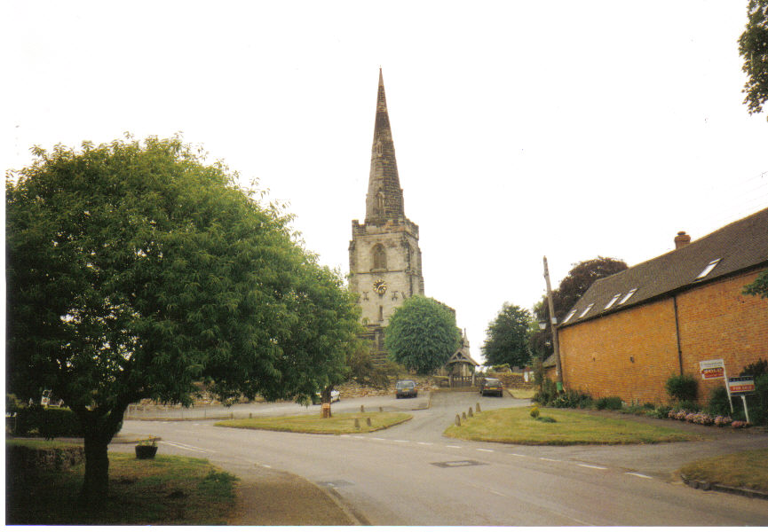
Newton Regis
Newton Regis is a village and civil parish in the North Warwickshire district of Warwickshire, England. It has a population of 599 at the 2011 Census....

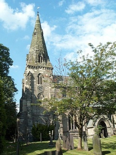
Shuttington
Shuttington is a village and civil parish in North Warwickshire, England, situated north-east of Tamworth, Staffordshire. In the 2001 census, the parish...

Seckington
Seckington is a village and civil parish in North Warwickshire, about 4 miles (6 km) northeast of Tamworth. The B4593 road between Tamworth and Appleby...
Austrey, Warwickshire
Austrey is a village and civil parish in the North Warwickshire District of Warwickshire, England. and the village lies at the northern extremity of the...

Warton, Warwickshire
Warton is a village in the North Warwickshire district of Warwickshire, England. It is five miles east of Tamworth and four miles north-west of Atherstone...

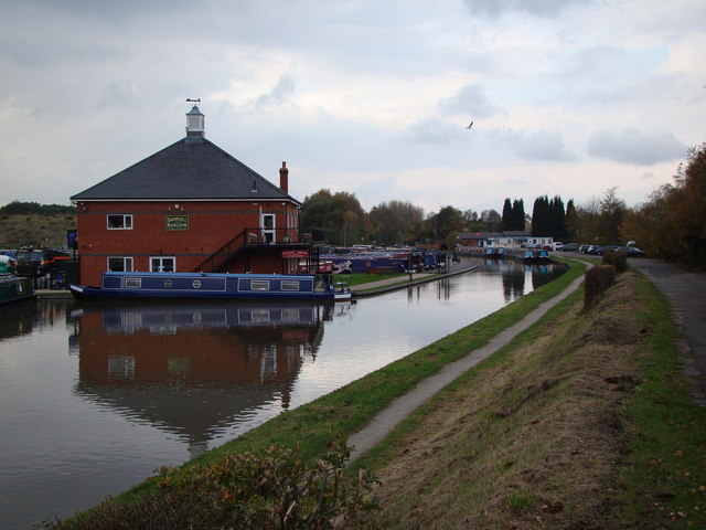
Alvecote Pools
Alvecote Pools is a Site of Special Scientific Interest (SSSI) and nature reserve situated alongside the River Anker, adjacent to the hamlet of Alvecote...
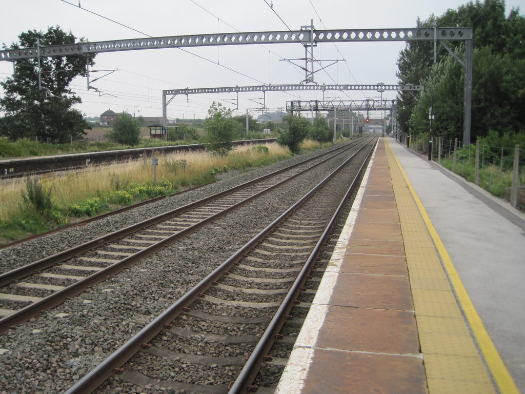
Polesworth railway station
Polesworth railway station serves the village of Polesworth in Warwickshire, England. It is situated on the Trent Valley section of the West Coast Main...
Alvecote
Alvecote is a hamlet in the North Warwickshire district of Warwickshire, England, situated on the county border with Staffordshire. Other settlements nearby...
Nearby Amenities
Located within 500m of 52.64898,-1.5972535Have you been to Bramcote Covert?
Leave your review of Bramcote Covert below (or comments, questions and feedback).