Burntroots Plantation
Wood, Forest in Yorkshire Harrogate
England
Burntroots Plantation

Burntroots Plantation is a sprawling woodland located in Yorkshire, England. Situated amidst the picturesque landscape of the county, this plantation covers a vast area of dense forest and verdant woodlands. The plantation is renowned for its rich biodiversity and natural beauty, attracting nature enthusiasts and hikers from all around the region.
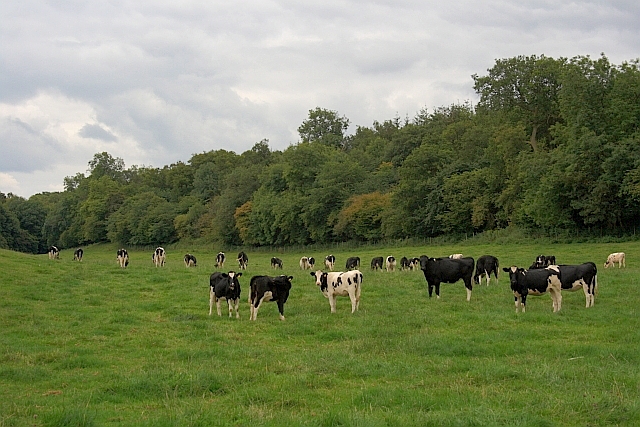
The woodland is characterized by a diverse range of tree species, including oak, beech, ash, and birch. These majestic trees create a dense canopy, providing shelter to a multitude of wildlife species. The plantation is home to various native animals, such as deer, foxes, badgers, and a plethora of bird species, making it a haven for wildlife enthusiasts and birdwatchers alike.
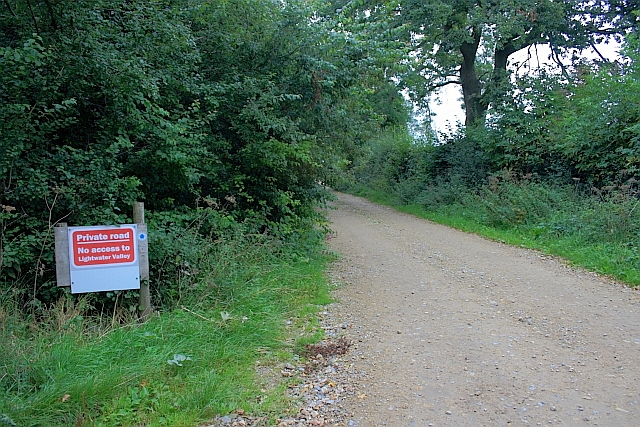
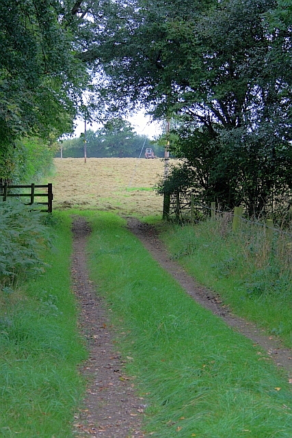
Traversing through Burntroots Plantation, visitors can explore numerous walking trails and nature paths, which offer stunning views of the surrounding countryside. The plantation also features a small lake, adding to its scenic charm and providing a tranquil spot for visitors to relax and enjoy the serenity of nature.
The plantation is open to the public throughout the year, with designated picnic areas and benches for visitors to rest and soak in the peaceful ambiance. The management of Burntroots Plantation takes great care in preserving its natural beauty and biodiversity, ensuring that the woodland remains a pristine and protected environment.
Overall, Burntroots Plantation is a hidden gem in Yorkshire, offering a serene escape from the bustling city life. With its diverse flora and fauna, scenic trails, and tranquil atmosphere, it is a must-visit destination for nature lovers and those seeking solace in the lap of nature.
If you have any feedback on the listing, please let us know in the comments section below.
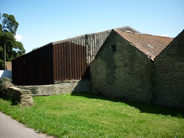
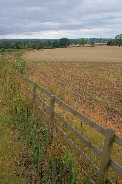
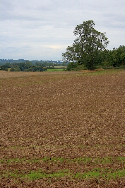
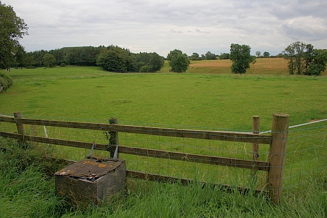
Burntroots Plantation Images
Images are sourced within 2km of 54.165248/-1.5833406 or Grid Reference SE2774. Thanks to Geograph Open Source API. All images are credited.


Burntroots Plantation is located at Grid Ref: SE2774 (Lat: 54.165248, Lng: -1.5833406)
Division: West Riding
Administrative County: North Yorkshire
District: Harrogate
Police Authority: North Yorkshire
What 3 Words
///hazelnuts.sprinkle.ironic. Near Ripon, North Yorkshire
Nearby Locations
Related Wikis

Sutton Grange, North Yorkshire
Sutton Grange is a small settlement in North Yorkshire, England, 2 miles (3 km) north west of Ripon. It was historically a township in the parish of Ripon...

Azerley
Azerley is a village and civil parish in the Harrogate district of North Yorkshire, England. It is about 4 miles (6 km) north-west of Ripon. The civil...

The Ultimate (roller coaster)
The Ultimate was a steel roller coaster located at Lightwater Valley theme park in North Yorkshire, England. Manufactured by British Rail Engineering Limited...
Raptor Attack
Raptor Attack was an enclosed steel roller coaster at the Lightwater Valley theme park in North Yorkshire, United Kingdom. and was the world's first underground...

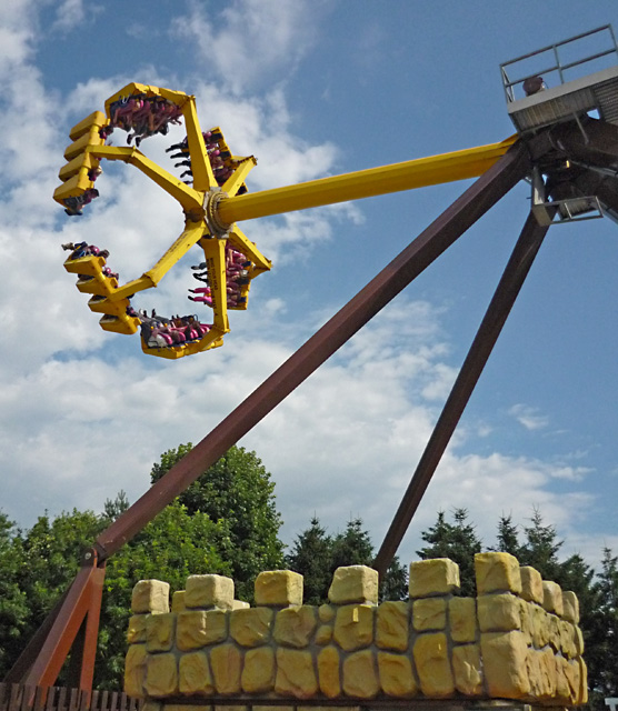
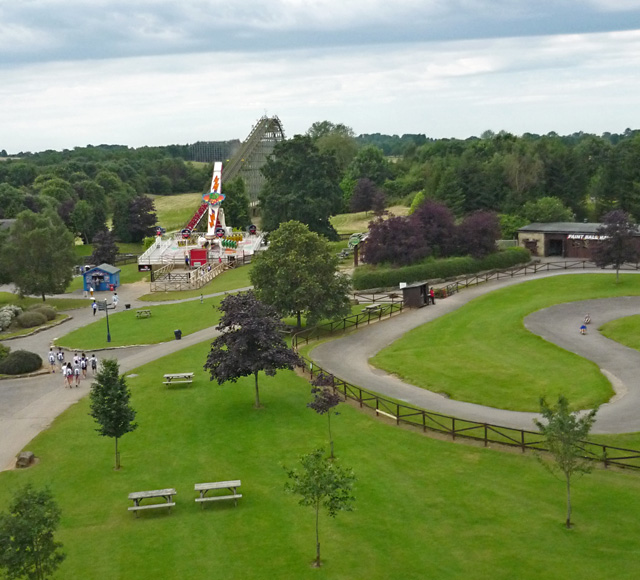
Lightwater Valley
Lightwater Valley Family Adventure Park is a theme park in North Stainley, North Yorkshire, England. The park was once home to Europe's longest roller...

Cow Myers (wetland)
Cow Myers is a Site of Special Scientific Interest (SSSI) located in the Nidderdale Area of Outstanding Natural Beauty (AONB), near Ripon, North Yorkshire...
North Stainley
North Stainley is a village in the Harrogate district of North Yorkshire, England 4 miles (6.4 km) north of Ripon. Historically part of the West Riding...

North Lees
North Lees is a hamlet in the Harrogate district of North Yorkshire, England. It is about 1.9 miles (3 km) north of Ripon on the A6108 road. The village...
Nearby Amenities
Located within 500m of 54.165248,-1.5833406Have you been to Burntroots Plantation?
Leave your review of Burntroots Plantation below (or comments, questions and feedback).