Bonsall Wood
Wood, Forest in Derbyshire Derbyshire Dales
England
Bonsall Wood

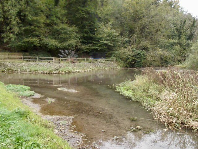
Bonsall Wood is a picturesque forest located in Bonsall, a village in the Derbyshire Dales district of Derbyshire, England. Covering an area of approximately 70 hectares, this ancient woodland holds a significant place in the local community and attracts visitors from near and far.
The wood is predominantly made up of oak trees, with a rich understory of hazel, holly, and hawthorn. It is densely populated with a variety of wildlife, including badgers, foxes, and an array of bird species such as woodpeckers and tawny owls. The forest floor is adorned with a carpet of bluebells and wild garlic during the spring months, creating a stunning natural spectacle.
Bonsall Wood offers a tranquil and serene atmosphere, making it a popular spot for nature enthusiasts, hikers, and wildlife photographers. The well-maintained trails wind through the forest, allowing visitors to explore its beauty at their own pace. Along the way, visitors may come across babbling brooks, small waterfalls, and charming bridges that add to the woodland's enchantment.
The wood has a rich historical significance, with evidence of human activity dating back to the Iron Age. Remnants of ancient earthworks and burial mounds can still be found within the forest, reminding visitors of its long-standing connection with the local community.
In addition to its natural and historical attractions, Bonsall Wood also serves as an educational resource. The forest provides an excellent opportunity for schools and organizations to teach children about the importance of conservation and the diverse ecosystem found within woodlands.
Overall, Bonsall Wood is a hidden gem in Derbyshire, offering a peaceful retreat and a chance to reconnect with nature in a beautiful and historic setting.
If you have any feedback on the listing, please let us know in the comments section below.
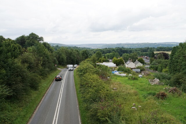
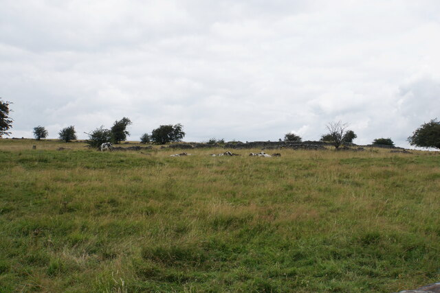
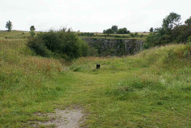
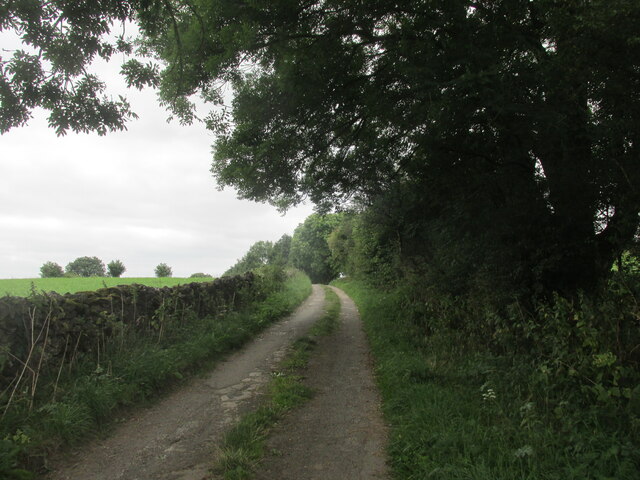
Bonsall Wood Images
Images are sourced within 2km of 53.110118/-1.5945895 or Grid Reference SK2757. Thanks to Geograph Open Source API. All images are credited.


Bonsall Wood is located at Grid Ref: SK2757 (Lat: 53.110118, Lng: -1.5945895)
Administrative County: Derbyshire
District: Derbyshire Dales
Police Authority: Derbyshire
What 3 Words
///shielding.presented.tight. Near Cromford, Derbyshire
Nearby Locations
Related Wikis
Slaley, Derbyshire
Slaley is a hamlet in the civil parish of Bonsall, in the Derbyshire Dales district, in the county of Derbyshire, England. The hamlet is located to the...

Middleton-by-Wirksworth
Middleton or Middleton-by-Wirksworth is an upland village and civil parish lying approximately one mile NNW of Wirksworth, Derbyshire, England. Middleton...
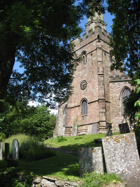
St James the Apostle's Church, Bonsall
St James the Apostle's Church, Bonsall is a Grade II* listed parish church in the Church of England: 101 in Bonsall, Derbyshire. == History == The church...

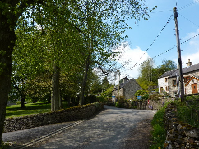
Bonsall, Derbyshire
Bonsall is a village and civil parish in the Derbyshire Dales on the edge of the Peak District. The civil parish population, including Brightgate and Horse...
Nearby Amenities
Located within 500m of 53.110118,-1.5945895Have you been to Bonsall Wood?
Leave your review of Bonsall Wood below (or comments, questions and feedback).