Cishole Wood
Wood, Forest in Yorkshire Harrogate
England
Cishole Wood

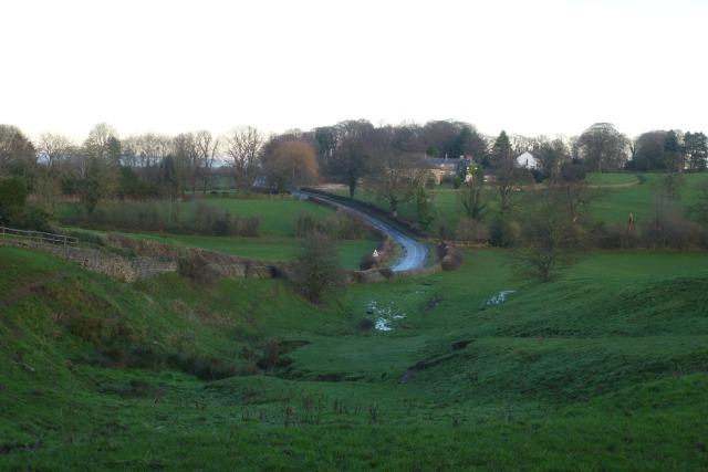
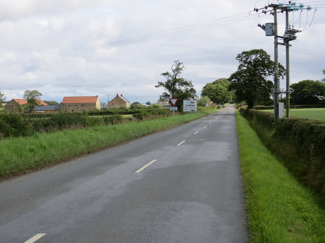
Cishole Wood is a picturesque forest located in Yorkshire, England. Situated near the village of Cishole, the wood covers an area of approximately 100 acres and is renowned for its natural beauty and diverse wildlife.
The forest is predominantly made up of deciduous trees, including oak, beech, and birch, which create a dense canopy overhead. This lush vegetation provides a habitat for a wide variety of animal species, making it a popular spot for nature enthusiasts and birdwatchers. Visitors to Cishole Wood can expect to spot a range of bird species, such as woodpeckers, owls, and thrushes, as well as small mammals like squirrels, rabbits, and foxes.
Tranquil walking trails wind their way through the wood, offering visitors the opportunity to explore its enchanting surroundings. These paths are well-maintained and suitable for all ages and abilities. Along the trails, there are several picnic areas and benches, providing a perfect spot to rest and enjoy the peaceful ambiance.
The forest also holds historical significance, as it is believed to have been part of a medieval hunting ground. Remnants of old hunting lodges and deer stands can still be found scattered throughout the wood, adding to its charm and allure.
Cishole Wood is open to the public year-round and is a delightful destination for those seeking solace in nature. Its natural beauty, diverse wildlife, and historical significance make it a must-visit location for both locals and tourists alike.
If you have any feedback on the listing, please let us know in the comments section below.
Cishole Wood Images
Images are sourced within 2km of 54.076982/-1.5859362 or Grid Reference SE2764. Thanks to Geograph Open Source API. All images are credited.


Cishole Wood is located at Grid Ref: SE2764 (Lat: 54.076982, Lng: -1.5859362)
Division: West Riding
Administrative County: North Yorkshire
District: Harrogate
Police Authority: North Yorkshire
What 3 Words
///removals.charm.detriment. Near Ripon, North Yorkshire
Nearby Locations
Related Wikis
Bishop Thornton
Bishop Thornton is a village in the civil parish of Bishop Thornton, Shaw Mills and Warsill, in the Harrogate district of North Yorkshire, England. According...

Markington
Markington is a village in the Harrogate district, in the English county of North Yorkshire. The population of the civil parish (including Markenfield...
Ingerthorpe
Ingerthorpe is a hamlet and former civil parish about 7 miles (11 km) from Harrogate, now in the parish of Markington with Wallerthwaite, in the Harrogate...

Shaw Mills
Shaw Mills is a hamlet in the civil parish of Bishop Thornton, Shaw Mills and Warsill, in Nidderdale in the Harrogate district, North Yorkshire, England...

Bedlam, North Yorkshire
Bedlam is a small village in the Harrogate district of North Yorkshire, England situated north of Harrogate.Its name most likely came from Old English...

Wormald Green railway station
Wormald Green railway station served the village of Wormald Green, Harrogate, England from 1848 to 1964 on the Leeds-Northallerton Railway. == History... ==

Wormald Green
Wormald Green is a village in the civil parish of Markington with Wallerthwaite in the district of Harrogate, North Yorkshire, England. In 2016, Harrogate...
Markenfield Hall
Markenfield Hall is an early 14th-century moated manor house about 3 miles (5 km) south of Ripon, North Yorkshire, England. It is in the civil parish of...
Nearby Amenities
Located within 500m of 54.076982,-1.5859362Have you been to Cishole Wood?
Leave your review of Cishole Wood below (or comments, questions and feedback).