Birkby Nab Wood

Wood, Forest in Yorkshire Harrogate

England

Birkby Nab Wood

Dry valley near Sunley Raynes Dry valley in the gentle hill country to the west of Ripon. Is the valley dry because the underlying rock is permian limestone, or is it an abandoned glacial overflow channel, of which there are several in this area?
Dry valley near Sunley Raynes Credit: Gordon Hatton

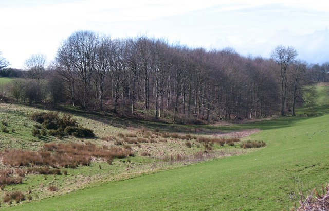
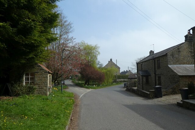
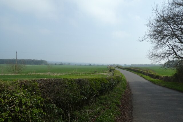
Birkby Nab Wood is a picturesque woodland located in Yorkshire, England. Situated in the town of Birkby, it covers a vast area and is known for its natural beauty and tranquil atmosphere. The wood is predominantly composed of deciduous trees, including oak, beech, and birch, creating a diverse and vibrant landscape throughout the seasons.

The wood is a popular destination for nature enthusiasts and hikers, offering numerous walking trails that meander through its lush vegetation. The pathways are well-maintained, allowing visitors to explore the wood at their own pace and enjoy the serenity it provides. Birkby Nab Wood is also home to a variety of wildlife, including deer, foxes, and a wide array of bird species, making it an ideal spot for birdwatching and wildlife observation.

In addition to its natural beauty, Birkby Nab Wood holds historical significance as well. The area is dotted with remnants of ancient settlements, such as burial mounds and earthworks, providing a glimpse into its rich past. Archaeological discoveries have also revealed evidence of human activity dating back to the Bronze Age, further adding to the historical importance of the wood.

Overall, Birkby Nab Wood offers a peaceful retreat from the hustle and bustle of everyday life. Its enchanting scenery, diverse flora and fauna, and historical significance make it a captivating destination for both locals and tourists seeking a connection with nature and a glimpse into the past.

If you have any feedback on the listing, please let us know in the comments section below.

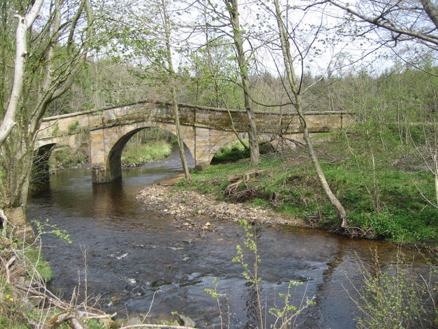
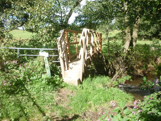
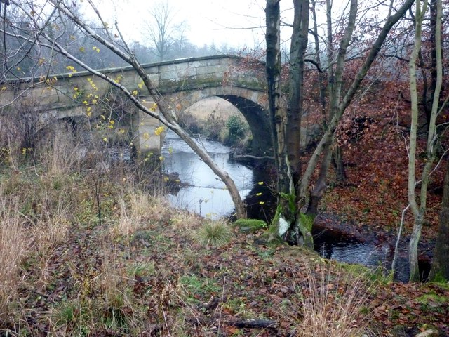
Birkby Nab Wood Images

Images are sourced within 2km of 54.147145/-1.5853288 or Grid Reference SE2772. Thanks to Geograph Open Source API. All images are credited.

Dry valley near Sunley Raynes Dry valley in the gentle hill country to the west of Ripon. Is the valley dry because the underlying rock is permian limestone, or is it an abandoned glacial overflow channel, of which there are several in this area?
Dry valley near Sunley Raynes
Dry valley in the gentle hill country to the west of Ripon. Is the valley dry because the underlying rock is permian limestone, or is it an abandoned glacial overflow channel, of which there are several in this area?
Woodhouse Bridge This old stone bridge is a route over the river Laver from Fountains to Winksley or Galphay. Entering Galphay woods and in turn leading to Brathwaite Hall and Kirkby Malzeard. Lovely quiet place to have lunch and listen to the birds etc.
Woodhouse Bridge
This old stone bridge is a route over the river Laver from Fountains to Winksley or Galphay. Entering Galphay woods and in turn leading to Brathwaite Hall and Kirkby Malzeard. Lovely quiet place to have lunch and listen to the birds etc.
Old Disused house An old disused house near to Winksley. The house is basically falling down and certainly not in use today.Just off the path from Galphay Woods to Winksley
Old Disused house
An old disused house near to Winksley. The house is basically falling down and certainly not in use today.Just off the path from Galphay Woods to Winksley
New Footbridge On the route of the Aislabie Walk near Witch-of-the-Woods House a replacement footbridge has been installed.
New Footbridge
On the route of the Aislabie Walk near Witch-of-the-Woods House a replacement footbridge has been installed.
Galphay Lane On the road between Galphay and Ripon
Galphay Lane
On the road between Galphay and Ripon
Woodhouse Bridge On the route of the Aislabie Walk long distance footpath
Woodhouse Bridge
On the route of the Aislabie Walk long distance footpath
Sunley Raynes farm Aerial photo of Sunley Raynes farm which was rebuilt in 1729
Sunley Raynes farm
Aerial photo of Sunley Raynes farm which was rebuilt in 1729
Daffodils in Galphay Looking across one corner of the village green.
Daffodils in Galphay
Looking across one corner of the village green.
The Green Looking across part of the village green in Galphay.
The Green
Looking across part of the village green in Galphay.
Junction in Galphay Looking along roads leading east from the village.
Junction in Galphay
Looking along roads leading east from the village.
Produce for sale Plum jam and chutneys for sale in Galphay. I bought a jar of jam.
Produce for sale
Plum jam and chutneys for sale in Galphay. I bought a jar of jam.
Fields east of Galphay Looking across fields to the north of the road between Galphay and Ripon.
Fields east of Galphay
Looking across fields to the north of the road between Galphay and Ripon.
Road towards Galphay Mill Bridge Looking along the road between Galphay and Ripon.
Road towards Galphay Mill Bridge
Looking along the road between Galphay and Ripon.
Road near Birkby Wood Cottages Looking along the road between Galphay and Ripon.
Road near Birkby Wood Cottages
Looking along the road between Galphay and Ripon.
Down the road towards Galphay Mill Bridge Looking along the road between Galphay and Ripon.
Down the road towards Galphay Mill Bridge
Looking along the road between Galphay and Ripon.
Road near Birkby Wood Cottages Looking along the road between Galphay and Ripon.
Road near Birkby Wood Cottages
Looking along the road between Galphay and Ripon.
Galphay Lane Looking along the road between Galphay and Ripon.
Galphay Lane
Looking along the road between Galphay and Ripon.
Field beside Galphay Lane Looking across farmland between Galphay and Ripon.
Field beside Galphay Lane
Looking across farmland between Galphay and Ripon.
Show me another place!

Birkby Nab Wood is located at Grid Ref: SE2772 (Lat: 54.147145, Lng: -1.5853288)

Division: West Riding

Administrative County: North Yorkshire

District: Harrogate

Police Authority: North Yorkshire

What 3 Words

///blacked.moped.bleaker. Near Ripon, North Yorkshire

Related Wikis

Cow Myers (wetland)

Cow Myers is a Site of Special Scientific Interest (SSSI) located in the Nidderdale Area of Outstanding Natural Beauty (AONB), near Ripon, North Yorkshire...

Galphay

Galphay (traditionally pronounced [ˈgɔ:fə] GAW-fə) is a village in North Yorkshire, England. It is situated in the Nidderdale Area of Outstanding Natural...

Sutton Grange, North Yorkshire

Sutton Grange is a small settlement in North Yorkshire, England, 2 miles (3 km) north west of Ripon. It was historically a township in the parish of Ripon...

Claro Barracks

Claro Barracks is a British Army installation in Ripon, North Yorkshire. It is set to close in 2026. == History == The barracks, which were originally...

Winksley

Winksley is a small village and civil parish in the district of Harrogate, North Yorkshire, England. It is situated west of Ripon, and is on the River...

Azerley

Azerley is a village and civil parish in the Harrogate district of North Yorkshire, England. It is about 4 miles (6 km) north-west of Ripon. The civil...

Ripon Grammar School

Ripon Grammar School is a co-educational, boarding and day, selective grammar school in Ripon, North Yorkshire, England. It has been named top-performing...

Aldfield

Aldfield is a village and civil parish in the former Harrogate district of North Yorkshire, England, about three miles west of Ripon. It is the closest...

Nearby Amenities

Located within 500m of 54.147145,-1.5853288
Cow Myers
Place: farm
Source Name: OS OpenData StreetView
Lat/Long: 54.1486967/-1.5922865
Ford: yes
Lat/Long: 54.1487091/-1.5791636
The data included in this document is from www.openstreetmap.org. The data is made available under ODbL.

Have you been to Birkby Nab Wood?

Leave your review of Birkby Nab Wood below (or comments, questions and feedback).