Batefield Wood

Wood, Forest in Warwickshire North Warwickshire

England

Batefield Wood

Play area at Birchley Heath The play equipment is provided by Ansley Parish Council on this small field in the hamlet of Birchley Heath. In the background is Bentley Park Wood; historically this area was covered by the vast Forest of Arden.
Play area at Birchley Heath Credit: Stephen McKay

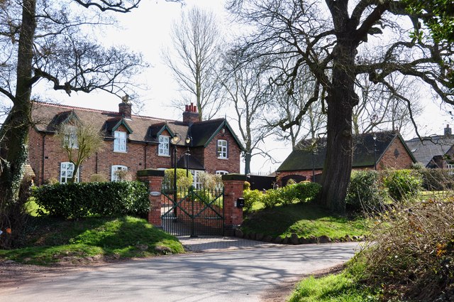
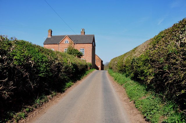
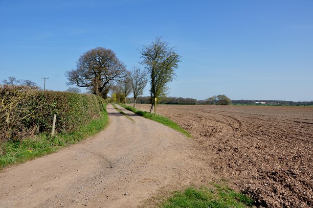
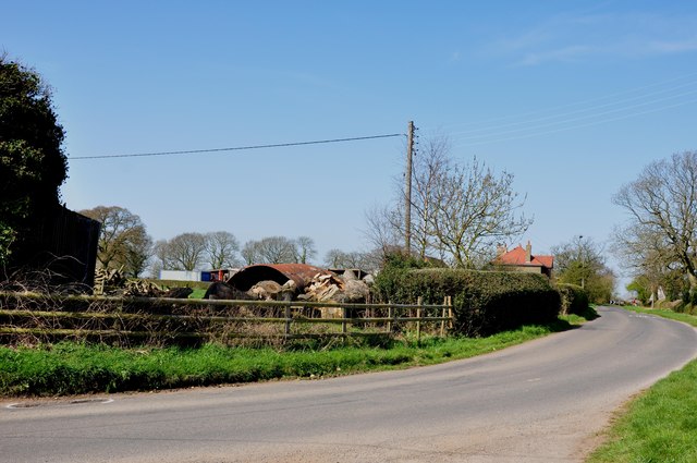
Batefield Wood is a picturesque woodland located in Warwickshire, England. Situated in the heart of the county, the wood is nestled within the beautiful countryside, offering visitors a peaceful and serene environment to explore.

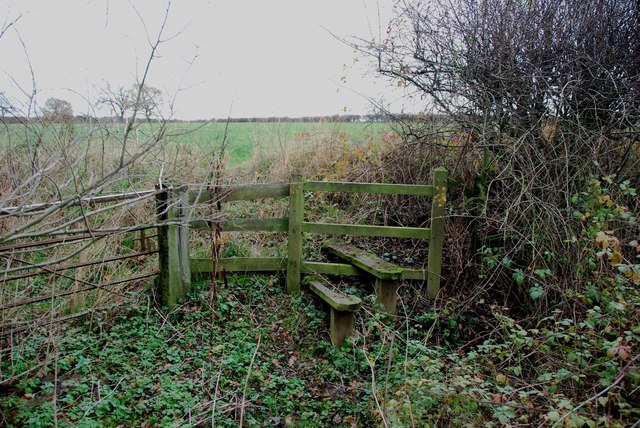
Covering an area of approximately 100 acres, Batefield Wood is a mixed woodland, consisting of a variety of tree species such as oak, ash, birch, and beech. The dense canopy provides ample shade, creating a cool and refreshing atmosphere during the summer months.

The wood is home to a diverse array of flora and fauna, making it a popular destination for nature lovers and wildlife enthusiasts. Visitors may encounter various bird species, including woodpeckers, owls, and thrushes, as well as small mammals like foxes, rabbits, and squirrels. The woodland floor is adorned with a carpet of bluebells during the springtime, creating a breathtaking sight for visitors.

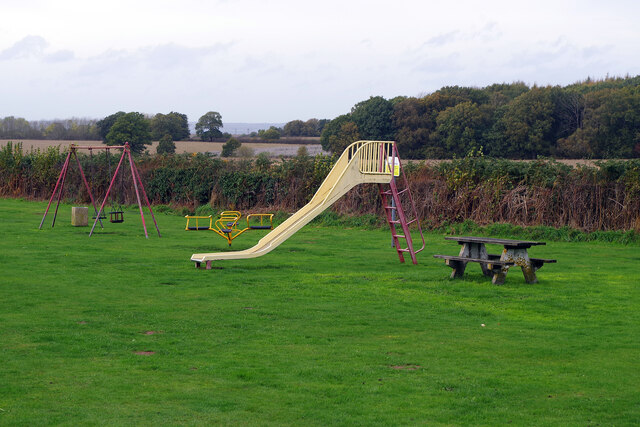
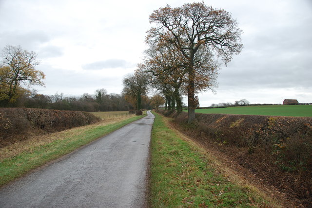
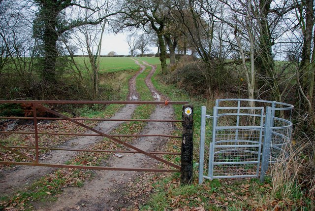
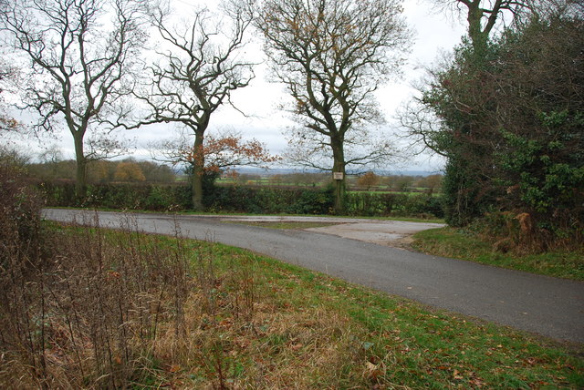
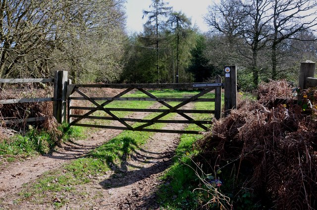
There are several well-maintained footpaths that wind through the wood, allowing visitors to explore its beauty at their own pace. These trails provide opportunities for leisurely walks, jogging, or even horse riding. Furthermore, the wood offers a picnic area where visitors can relax and enjoy a meal amidst the tranquil surroundings.

Batefield Wood is managed by a local conservation trust, ensuring the preservation and protection of its natural beauty. The trust also organizes educational programs and guided walks to raise awareness about the importance of woodland conservation.

Overall, Batefield Wood in Warwickshire offers a perfect blend of natural beauty, tranquility, and recreational opportunities, making it an ideal destination for those seeking a break from the hustle and bustle of everyday life.

If you have any feedback on the listing, please let us know in the comments section below.

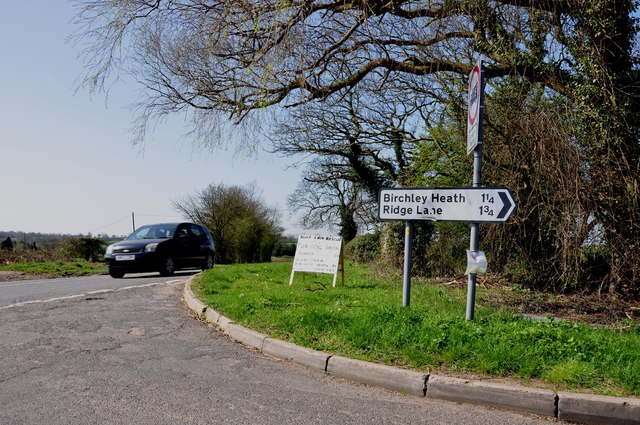
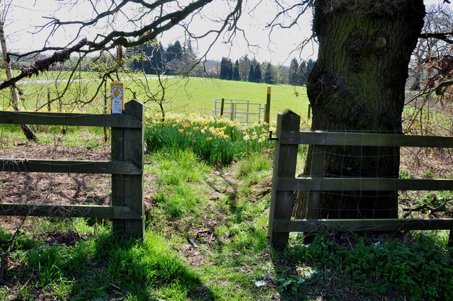
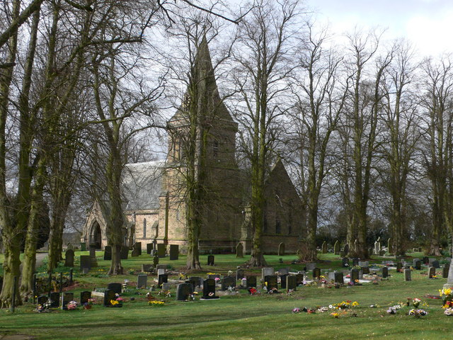
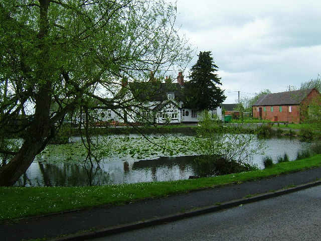
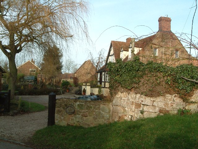
Batefield Wood Images

Images are sourced within 2km of 52.543635/-1.6019631 or Grid Reference SP2794. Thanks to Geograph Open Source API. All images are credited.

Play area at Birchley Heath The play equipment is provided by Ansley Parish Council on this small field in the hamlet of Birchley Heath. In the background is Bentley Park Wood; historically this area was covered by the vast Forest of Arden.
Play area at Birchley Heath
The play equipment is provided by Ansley Parish Council on this small field in the hamlet of Birchley Heath. In the background is Bentley Park Wood; historically this area was covered by the vast Forest of Arden.
Flags by Nuneaton Road, Hoar Park Farm British solidarity with Ukraine is on display outside the entrance to the craft centre at Hoar Park Farm.
Flags by Nuneaton Road, Hoar Park Farm
British solidarity with Ukraine is on display outside the entrance to the craft centre at Hoar Park Farm.
A Country lane with very neat hedges
Kissing Gate and footpath to Hurley
Stile and footpath to Kimberley Hall Farm
19 Gales Farmhouse Foods The farm is called Nightingales so the play on words for the free range beef herd is very clever. If you want some of this beef ring 01827-716551 or go to website via link.   <span class="nowrap"><a title="http://www.19gales.co.uk/" rel="nofollow ugc noopener" href="http://www.19gales.co.uk/">Link</a><img style="margin-left:2px;" alt="External link" title="External link - shift click to open in new window" src="https://s1.geograph.org.uk/img/external.png" width="10" height="10"/></span>
19 Gales Farmhouse Foods
The farm is called Nightingales so the play on words for the free range beef herd is very clever. If you want some of this beef ring 01827-716551 or go to website via link. LinkExternal link
19 Gales Farmhouse Foods outdoor free range Pigs This is just a few of the free range pigs at Nightingales farm, the majority are kept in their woodland. To purchase their products, see link. <span class="nowrap"><a title="http://www.19gales.co.uk/" rel="nofollow ugc noopener" href="http://www.19gales.co.uk/">Link</a><img style="margin-left:2px;" alt="External link" title="External link - shift click to open in new window" src="https://s1.geograph.org.uk/img/external.png" width="10" height="10"/></span>
19 Gales Farmhouse Foods outdoor free range Pigs
This is just a few of the free range pigs at Nightingales farm, the majority are kept in their woodland. To purchase their products, see link. LinkExternal link
Country Lane at the end of the drive to Kimberley Hall Farm
A country lane in autumn colours near Bentley
Five bar gate and footpath
The remains of a Chapel at Chapel Farm, near the B4116 This one wall is all that is left standing of this old Chapel.
The remains of a Chapel at Chapel Farm, near the B4116
This one wall is all that is left standing of this old Chapel.
Cottages on Green Lane near Birchley Heath The Centenary Way passes to the left of these cottages.
Cottages on Green Lane near Birchley Heath
The Centenary Way passes to the left of these cottages.
Approaching Chapel Farm on a very narrow Green Lane
Playing field at Birchley Heath The Centenary Way runs along the side of this playing field.
Playing field at Birchley Heath
The Centenary Way runs along the side of this playing field.
Access track to Birchley Farm off Birchley Heath Road There is a large locked steel gate to the left of the picture.
Access track to Birchley Farm off Birchley Heath Road
There is a large locked steel gate to the left of the picture.
Cottage Farm on Birchley Heath Road
Birchley Heath Road leaving the B4114 Nuneaton Road The small sign was advertising a "Ruff Luck Rescue" fun dog show at Glebe Farm.
Birchley Heath Road leaving the B4114 Nuneaton Road
The small sign was advertising a "Ruff Luck Rescue" fun dog show at Glebe Farm.
Footpath through the Daffodils to a kissing gate
Show me another place!

Batefield Wood is located at Grid Ref: SP2794 (Lat: 52.543635, Lng: -1.6019631)

Administrative County: Warwickshire

District: North Warwickshire

Police Authority: Warwickshire

What 3 Words

///sketching.backpack.budget. Near Atherstone, Warwickshire

Related Wikis

Bentley, Warwickshire

Bentley is a village and civil parish in the North Warwickshire district of Warwickshire, England, about two miles south-west of Atherstone. According...

Bentley Common

Bentley Common is a village in Warwickshire, England. For population details see Merevale. == External links == Media related to Bentley Common at Wikimedia...

Baddesley Ensor

Baddesley Ensor is a village and civil parish in the district of North Warwickshire in Warwickshire, England, about three miles west of Atherstone. It...

Church of the Resurrection, Hurley

Church of the Resurrection is a small wooden Church of England church in Hurley, Warwickshire, England, dating from 1861 It is part of the parish of Baxterley...

Baxterley

Baxterley is a small village and civil parish in the North Warwickshire district of Warwickshire in England. According to the 2001 Census, it had a population...

Foul End

Foul End is a small hamlet in the civil parish of Kingsbury, in the North Warwickshire district, in the county of Warwickshire, England. Other nearby places...

Botts Green

Botts Green is a hamlet and green in the North Warwickshire district of the county of Warwickshire in England. It is located close to Whitacre Heath, Coleshill...

Baxterley Church

Baxterley Church is situated at the western side of the parish of Baxterley, Warwickshire, towards Wood End, and dates from the 12th century. == History... ==

Nearby Amenities

Located within 500m of 52.543635,-1.6019631
The data included in this document is from www.openstreetmap.org. The data is made available under ODbL.

Have you been to Batefield Wood?

Leave your review of Batefield Wood below (or comments, questions and feedback).