Bebside Wood
Wood, Forest in Northumberland
England
Bebside Wood
Bebside Wood is a picturesque woodland located in the county of Northumberland, England. Covering an area of approximately 100 hectares, it is a popular destination for nature enthusiasts and outdoor enthusiasts alike.
The woodland is primarily composed of native broadleaf trees, including oak, ash, and birch, which create a rich and diverse ecosystem. These trees provide a habitat for a wide range of wildlife, including birds, mammals, and insects. It is not uncommon to spot species such as red squirrels, roe deer, and various bird species, including woodpeckers and owls.
The wood is crisscrossed by a network of footpaths and trails, making it easily accessible for visitors to explore. These paths wind through the dense vegetation, allowing visitors to immerse themselves in the tranquility of nature. The woodland is particularly beautiful in the spring when the forest floor is carpeted with bluebells and other wildflowers.
In addition to its natural beauty, Bebside Wood also has historical significance. It has been used as a timber resource for centuries, and remnants of old charcoal platforms and sawpits can still be seen within the woodland. These remnants serve as a reminder of the area's past and provide an insight into the traditional methods of wood extraction.
Overall, Bebside Wood is a stunning natural haven that offers a peaceful retreat for those seeking solace in nature. Its combination of diverse flora and fauna, well-maintained paths, and historical significance make it a must-visit destination for anyone exploring the Northumberland countryside.
If you have any feedback on the listing, please let us know in the comments section below.
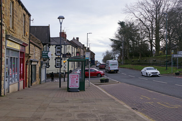
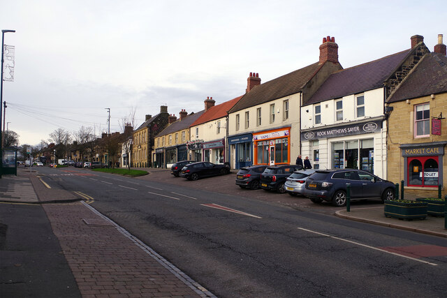
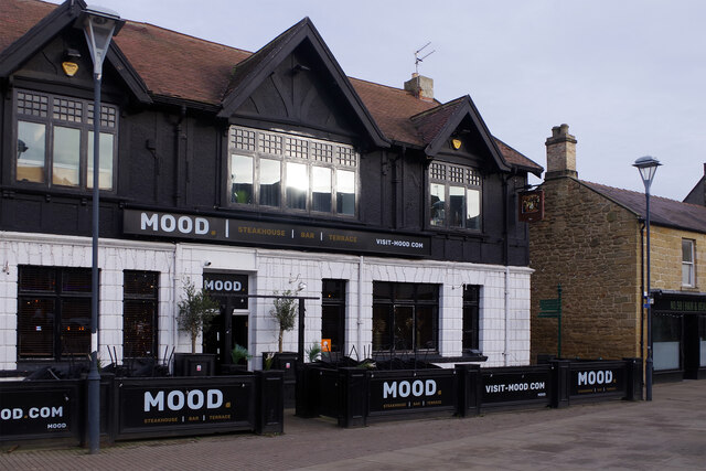
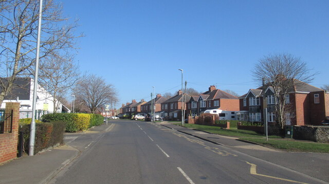
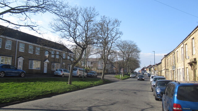
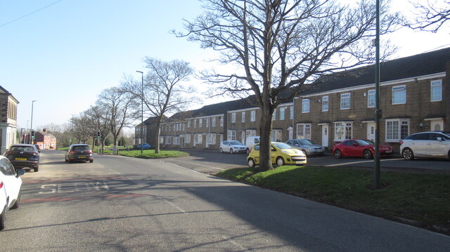
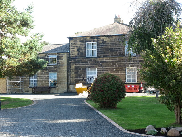
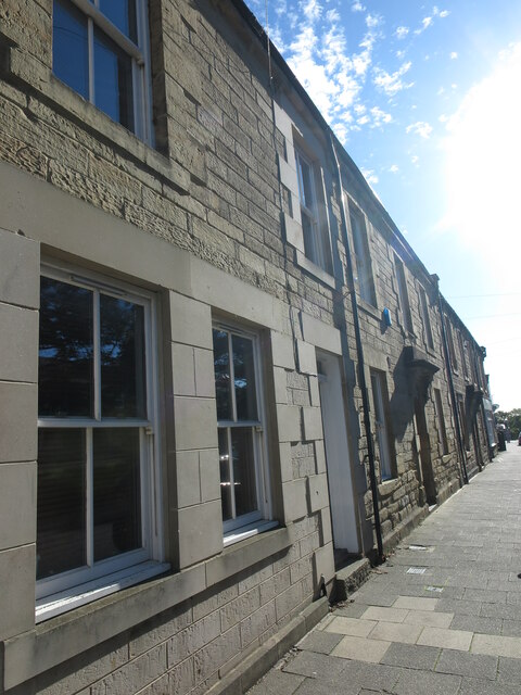
Bebside Wood Images
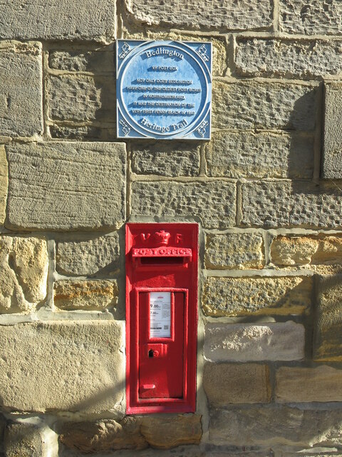
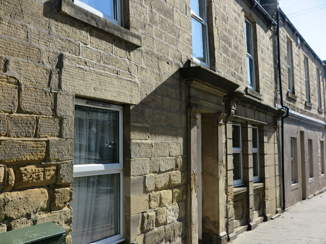
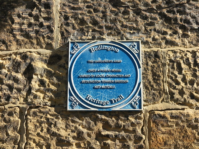
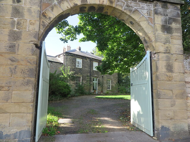
Images are sourced within 2km of 55.129848/-1.5773775 or Grid Reference NZ2781. Thanks to Geograph Open Source API. All images are credited.


Bebside Wood is located at Grid Ref: NZ2781 (Lat: 55.129848, Lng: -1.5773775)
Unitary Authority: Northumberland
Police Authority: Northumbria
What 3 Words
///mornings.space.stretcher. Near Bedlington, Northumberland
Nearby Locations
Related Wikis

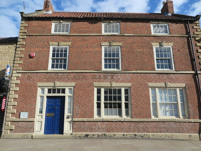
Bedlington
Bedlington is a town and former civil parish in Northumberland, England, with a population of 18,470 measured at the 2011 Census.Bedlington is an ancient...

Bedlington Terriers F.C.
Bedlington Terriers Football Club is a football club based in Bedlington, England. The club are currently members of the Northern League Division Two and...

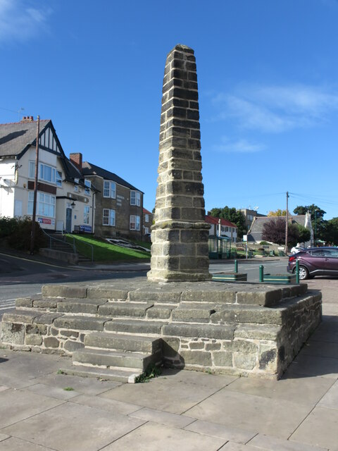
Bebside
Bebside is a village and former civil parish, now in the parish of Blyth, in Northumberland, in England. It is situated to the west of Blyth. It was formerly...
Bedlington Ironworks
Bedlington Ironworks, in Blyth Dene, Northumberland, England, operated between 1736 and 1867. It is most remembered as the place where wrought iron rails...
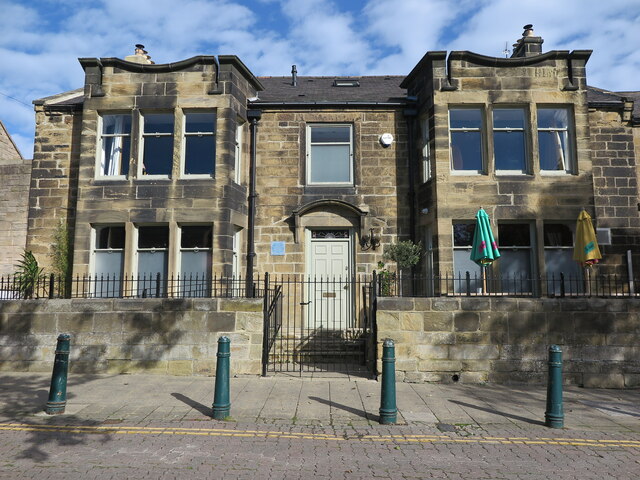
Bedlington Academy
Bedlington Academy (formerly Bedlingtonshire Community High School) is a coeducational secondary school and sixth form in Bedlington in the English county...
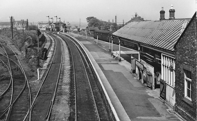
Bebside railway station
Bebside railway station was a railway station that served the village of Bebside in Northumberland, North East England from 1850 to 1964. It is proposed...
Bedlington railway station
Bedlington railway station was a railway station that served the town of Bedlington, Northumberland, England from 1850 to 1964 on the Blyth and Tyne Railway...
St Benet Biscop Catholic Academy
St. Benet Biscop Catholic Academy (formerly S. Benet Biscop Catholic High School) is a Roman Catholic high school in Bedlington, Northumberland, England...
Nearby Amenities
Located within 500m of 55.129848,-1.5773775Have you been to Bebside Wood?
Leave your review of Bebside Wood below (or comments, questions and feedback).