Dembleby

Settlement in Lincolnshire North Kesteven

England

Dembleby

Church of St Andrew, Scott Willoughby "10th century parish church with alterations or additions in the 12th and 17th centuries, repaired 1826, chancel renewed 1826, walls restored 1882" <span class="nowrap"><a title="https://heritage-explorer.lincolnshire.gov.uk/Monument/MLI90870" rel="nofollow ugc noopener" href="https://heritage-explorer.lincolnshire.gov.uk/Monument/MLI90870">Link</a><img style="margin-left:2px;" alt="External link" title="External link - shift click to open in new window" src="https://s1.geograph.org.uk/img/external.png" width="10" height="10"/></span>
"The smallest church still in use in the county of Lincolnshire" <span class="nowrap"><a title="https://www.parishofsouthlafford.org/scott-willoughby-st-andrew-s-church" rel="nofollow ugc noopener" href="https://www.parishofsouthlafford.org/scott-willoughby-st-andrew-s-church">Link</a><img style="margin-left:2px;" alt="External link" title="External link - shift click to open in new window" src="https://s1.geograph.org.uk/img/external.png" width="10" height="10"/></span>
Church of St Andrew, Scott Willoughby Credit: Tim Heaton

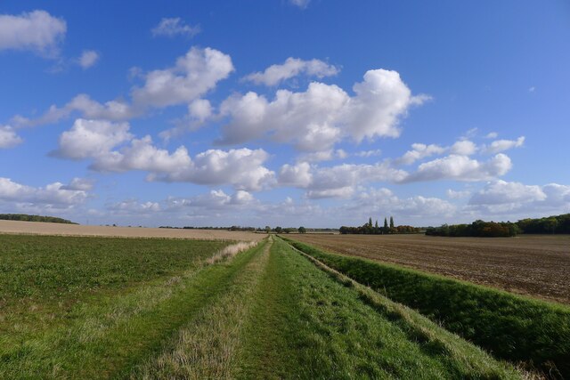
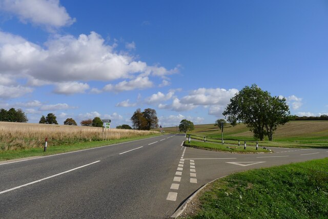
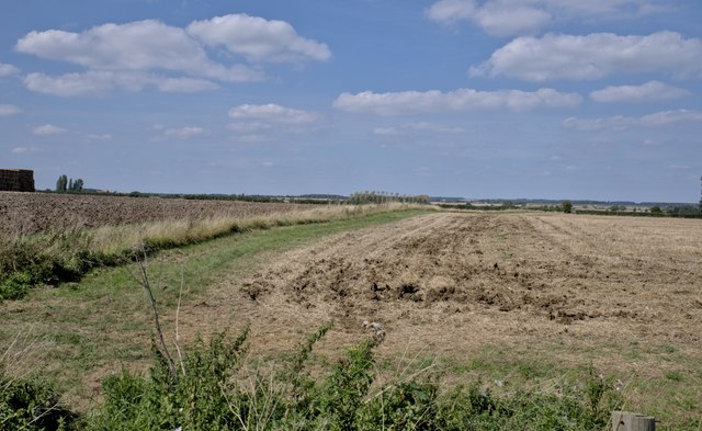
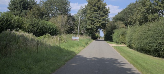
Dembleby is a small village located in the county of Lincolnshire, England. Situated approximately 5 miles southwest of the town of Sleaford, Dembleby falls within the South Kesteven district. The village is nestled in a predominantly rural area, surrounded by picturesque farmland and rolling countryside.

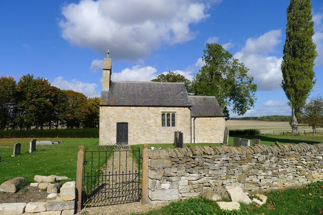
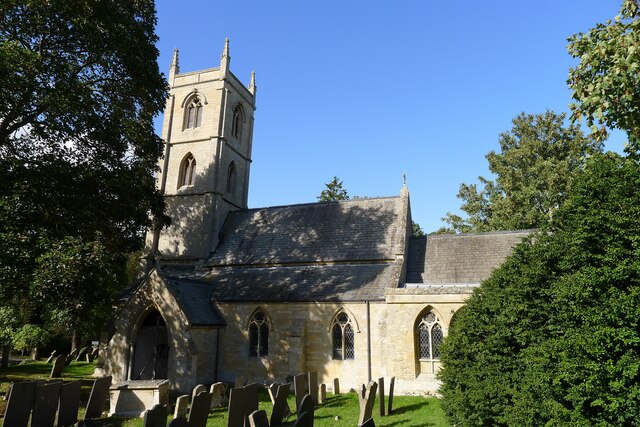
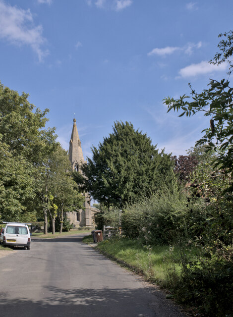
With a population of around 100 residents, Dembleby maintains a close-knit community feel. The village is characterized by its charming stone cottages, many of which date back several centuries, giving it a distinct historic ambiance. The local church, St. Andrew's, stands as a prominent feature in the village, showcasing beautiful architecture and a rich history.

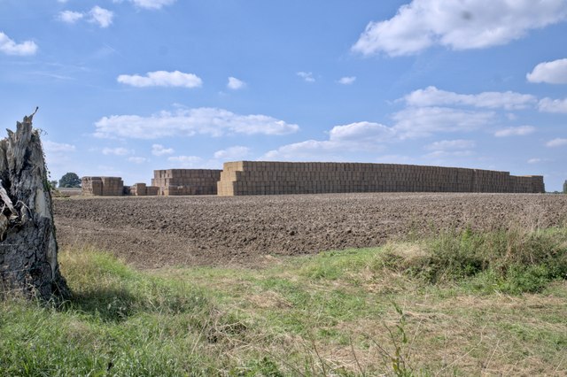
Dembleby is primarily an agricultural community, with farming being the main occupation for many residents. The fertile land in the area supports a variety of crops and livestock, contributing to the local economy. The village also benefits from its proximity to Sleaford, providing access to amenities such as shops, schools, and healthcare facilities.

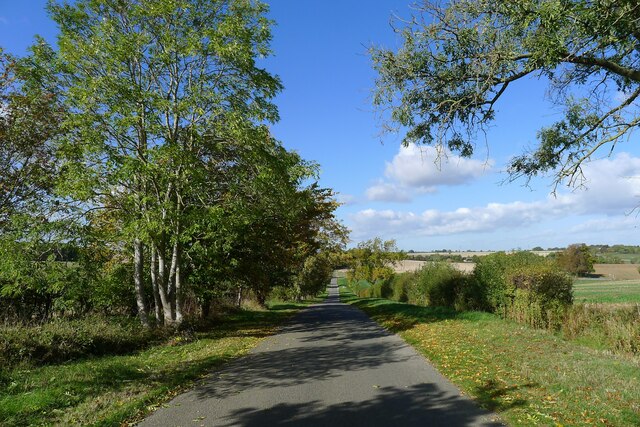
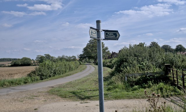
For those seeking outdoor activities, Dembleby offers ample opportunities. The surrounding countryside is ideal for walking, cycling, and exploring nature. The village is conveniently located near the Lincolnshire Wolds, an Area of Outstanding Natural Beauty, offering stunning landscapes and scenic trails.

In summary, Dembleby is a tranquil and picturesque village in Lincolnshire, offering a peaceful rural lifestyle and a strong sense of community. Its historic charm, agricultural roots, and proximity to natural beauty make it an appealing location for residents and visitors alike.

If you have any feedback on the listing, please let us know in the comments section below.
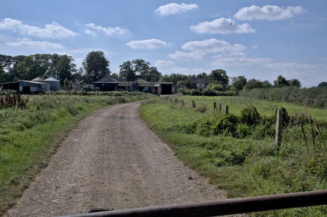
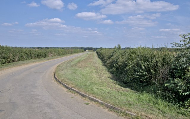
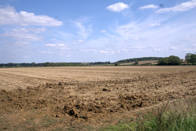
Dembleby Images

Images are sourced within 2km of 52.926557/-0.4515372 or Grid Reference TF0437. Thanks to Geograph Open Source API. All images are credited.

Church of St Andrew, Scott Willoughby "10th century parish church with alterations or additions in the 12th and 17th centuries, repaired 1826, chancel renewed 1826, walls restored 1882" <span class="nowrap"><a title="https://heritage-explorer.lincolnshire.gov.uk/Monument/MLI90870" rel="nofollow ugc noopener" href="https://heritage-explorer.lincolnshire.gov.uk/Monument/MLI90870">Link</a><img style="margin-left:2px;" alt="External link" title="External link - shift click to open in new window" src="https://s1.geograph.org.uk/img/external.png" width="10" height="10"/></span>
"The smallest church still in use in the county of Lincolnshire" <span class="nowrap"><a title="https://www.parishofsouthlafford.org/scott-willoughby-st-andrew-s-church" rel="nofollow ugc noopener" href="https://www.parishofsouthlafford.org/scott-willoughby-st-andrew-s-church">Link</a><img style="margin-left:2px;" alt="External link" title="External link - shift click to open in new window" src="https://s1.geograph.org.uk/img/external.png" width="10" height="10"/></span>
Church of St Andrew, Scott Willoughby
"10th century parish church with alterations or additions in the 12th and 17th centuries, repaired 1826, chancel renewed 1826, walls restored 1882" LinkExternal link "The smallest church still in use in the county of Lincolnshire" LinkExternal link
Bridleway to Aunsby Climbing up the north slope of the valley of South Beck
Bridleway to Aunsby
Climbing up the north slope of the valley of South Beck
Crossway, north of Scott Willoughby Willoughby Road from Osbournby (right) bends 90 degrees towards Scott Willoughby (lower left). A restricted byway carries straight on to Dembleby (upper left). A bridleway climbs the slope to Aunsby (upper right).
Crossway, north of Scott Willoughby
Willoughby Road from Osbournby (right) bends 90 degrees towards Scott Willoughby (lower left). A restricted byway carries straight on to Dembleby (upper left). A bridleway climbs the slope to Aunsby (upper right).
Restricted byway from Dembleby towards Osbournby The byway forms part of a line of quiet roads, byways and bridleways forming an east-west cycling route avoiding the dangerous A52
Restricted byway from Dembleby towards Osbournby
The byway forms part of a line of quiet roads, byways and bridleways forming an east-west cycling route avoiding the dangerous A52
Newton Bar, A52 Location of one of the turnpikes (barrier gates) when the A52 was maintained as a toll road <span class="nowrap"><a title="https://www.sabre-roads.org.uk/wiki/index.php?title=Lincolnshire_Turnpikes" rel="nofollow ugc noopener" href="https://www.sabre-roads.org.uk/wiki/index.php?title=Lincolnshire_Turnpikes">Link</a><img style="margin-left:2px;" alt="External link" title="External link - shift click to open in new window" src="https://s1.geograph.org.uk/img/external.png" width="10" height="10"/></span>
Newton Bar, A52
Location of one of the turnpikes (barrier gates) when the A52 was maintained as a toll road LinkExternal link
Road from Newton down to Newton Bar (A52) Running down to one of the shallow valleys formed by tributaries to the South Forty Drain Catchment
Road from Newton down to Newton Bar (A52)
Running down to one of the shallow valleys formed by tributaries to the South Forty Drain Catchment
Village Cross, The Green, Newton Listed Grade II 'buildings': a 19th century cross and, behind, the late 18th century Laundry Cottage <span class="nowrap"><a title="https://historicengland.org.uk/listing/the-list/map-search?clearresults=true?clearresults=True#?search=TF04723626" rel="nofollow ugc noopener" href="https://historicengland.org.uk/listing/the-list/map-search?clearresults=true?clearresults=True#?search=TF04723626">Link</a><img style="margin-left:2px;" alt="External link" title="External link - shift click to open in new window" src="https://s1.geograph.org.uk/img/external.png" width="10" height="10"/></span>
Village Cross, The Green, Newton
Listed Grade II 'buildings': a 19th century cross and, behind, the late 18th century Laundry Cottage LinkExternal link
Church of St Botolph, Newton Listed Grade I. Built 13th to 15th, and restored 19th century <span class="nowrap"><a title="https://historicengland.org.uk/listing/the-list/list-entry/1061795?section=official-list-entry" rel="nofollow ugc noopener" href="https://historicengland.org.uk/listing/the-list/list-entry/1061795?section=official-list-entry">Link</a><img style="margin-left:2px;" alt="External link" title="External link - shift click to open in new window" src="https://s1.geograph.org.uk/img/external.png" width="10" height="10"/></span>
Church of St Botolph, Newton
Listed Grade I. Built 13th to 15th, and restored 19th century LinkExternal link
Straw stack "All is safely gathered in".  I don't suppose this is all the straw in Lincolnshire, but there is rather a lot of it
Straw stack
"All is safely gathered in". I don't suppose this is all the straw in Lincolnshire, but there is rather a lot of it
A ploughed field A late 20th century windbreak of Poplar is next to the stream at the bottom of the field.
A ploughed field
A late 20th century windbreak of Poplar is next to the stream at the bottom of the field.
Footpath The field bank is the start of a footpath to Swarby.
Footpath
The field bank is the start of a footpath to Swarby.
Footpath sign The footpath from Swarby does not follow the road here, but crosses the adjacent farmland at an angle from here, to the church.
Footpath sign
The footpath from Swarby does not follow the road here, but crosses the adjacent farmland at an angle from here, to the church.
Where the footpath goes The track of the footpath goes straight through this field to the church by the far trees.
Where the footpath goes
The track of the footpath goes straight through this field to the church by the far trees.
Farmyard The working buildings of Manor Farm
Farmyard
The working buildings of Manor Farm
The lane The lane out of the village to the east
The lane
The lane out of the village to the east
A stubble field
A stubble field
Aunsby A little village in Lincolnshire.
Aunsby
A little village in Lincolnshire.
Village sign Entering Aunsby.
Village sign
Entering Aunsby.
Show me another place!

Dembleby is located at Grid Ref: TF0437 (Lat: 52.926557, Lng: -0.4515372)

Division: Parts of Kesteven

Administrative County: Lincolnshire

District: North Kesteven

Police Authority: Lincolnshire

What 3 Words

///suits.doctors.timed. Near Billingborough, Lincolnshire

Nearby Locations

Dembleby

Related Wikis

Newton, Lincolnshire

Newton is a village in the civil parish of Newton and Haceby, in the North Kesteven district of Lincolnshire, England. The village is situated approximately...

Newton and Haceby

Newton and Haceby is a civil parish in North Kesteven, Lincolnshire, England. It includes the separate hamlets of Newton and Haceby. The population of...

St Barbara's Church, Haceby

St Barbara's Church is a redundant Anglican church in the village of Haceby, Lincolnshire, England. It is recorded in the National Heritage List for England...

Haceby

Haceby is a village in the civil parish of Newton and Haceby in the district of North Kesteven, Lincolnshire, England. It is 8 miles (13 km) east from...

Nearby Amenities

Located within 500m of 52.926557,-0.4515372
Dembleby
Is In: Lincolnshire, England, UK
Place: hamlet
Lat/Long: 52.9261152/-0.4518455
Church Farm
Place: farm
Source: Bing
Lat/Long: 52.9262589/-0.4500254
Manor House Farm
Place: farm
Source: Bing
Lat/Long: 52.9272088/-0.4558769
St Lucia's Church
Description: Site of Church
Historic: archaeological_site
Lat/Long: 52.9276318/-0.4569234
Lovely Cottage
Place: isolated_dwelling
Lat/Long: 52.9306306/-0.450182
Dembleby House
Place: isolated_dwelling
Lat/Long: 52.9301585/-0.4500961
Note: end of public highway
Lat/Long: 52.9282806/-0.457094
The data included in this document is from www.openstreetmap.org. The data is made available under ODbL.

Have you been to Dembleby?

Leave your review of Dembleby below (or comments, questions and feedback).