Low Park Wood

Wood, Forest in Yorkshire Hambleton

England

Low Park Wood

Well, Long Lane The benchmark is cut into a concrete gatepost and remains in very good condition.
Well, Long Lane Credit: Mel Towler

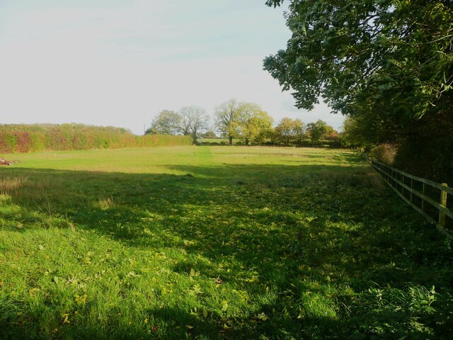
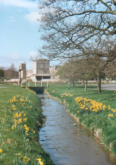
Low Park Wood is a picturesque forest located in Yorkshire, England. Spanning over a sprawling area of land, this woodland is known for its natural beauty and diverse flora and fauna. It is situated in a rural setting, making it a perfect destination for nature enthusiasts and those seeking tranquility.

The wood is predominantly composed of a mix of deciduous and coniferous trees, including oak, birch, beech, and pine. The dense canopy created by these trees provides a cool and shaded atmosphere, ideal for leisurely walks and hikes. The forest floor is covered with a lush carpet of ferns, bluebells, and wildflowers, adding to its charm and appeal.

Low Park Wood is home to a wide variety of wildlife, making it a haven for animal lovers and birdwatchers. Visitors may spot deer, foxes, badgers, and squirrels roaming freely in their natural habitat. The forest is also a nesting ground for numerous bird species, such as woodpeckers, owls, and warblers, providing an excellent opportunity for birdwatching.

The wood offers several well-maintained trails and footpaths, allowing visitors to explore its beauty at their own pace. There are also picnic areas and benches strategically placed throughout the forest, providing visitors with the opportunity to enjoy a peaceful meal amidst nature.

Overall, Low Park Wood offers a serene and idyllic setting, ideal for those looking to escape the hustle and bustle of daily life and immerse themselves in the beauty of nature. Whether it's a leisurely stroll, a picnic, or birdwatching, this woodland provides something for everyone to enjoy.

If you have any feedback on the listing, please let us know in the comments section below.

Low Park Wood Images

Images are sourced within 2km of 54.240918/-1.587259 or Grid Reference SE2682. Thanks to Geograph Open Source API. All images are credited.

Well, Long Lane The benchmark is cut into a concrete gatepost and remains in very good condition.
Well, Long Lane
The benchmark is cut into a concrete gatepost and remains in very good condition.
Well, Long Lane There is a benchmark cut into the left hand concrete gatepost of the field entrance directly ahead.
Well, Long Lane
There is a benchmark cut into the left hand concrete gatepost of the field entrance directly ahead.
Well, Long Lane The brick built farm building is on the south side of Long Lane. The benchmark can be seen on the corner of the brick wall, cut into the 4th and 5th brick courses that are above the concrete platform.
Well, Long Lane
The brick built farm building is on the south side of Long Lane. The benchmark can be seen on the corner of the brick wall, cut into the 4th and 5th brick courses that are above the concrete platform.
Well, Long Lane The brick built farm building is on the south side of Long Lane. There is a benchmark cut into the right corner of the gable end, just to the left of the feed bin. The mark is cut into the 4th and 5th brick courses that are above the concrete platform that the bin stands on.
Well, Long Lane
The brick built farm building is on the south side of Long Lane. There is a benchmark cut into the right corner of the gable end, just to the left of the feed bin. The mark is cut into the 4th and 5th brick courses that are above the concrete platform that the bin stands on.
Well, St Michael's church The benchmark is cut into the south-east face of the church tower.
Well, St Michael's church
The benchmark is cut into the south-east face of the church tower.
Well, St Michael's church There is a benchmark cut into the south-east face of the church tower.
Well, St Michael's church
There is a benchmark cut into the south-east face of the church tower.
Well, Ivy Cottage According to the OS benchmark database there is a mark cut into the stone wall of Ivy Cottage. Areas of the wall have been rebuilt and no mark was found.
Well, Ivy Cottage
According to the OS benchmark database there is a mark cut into the stone wall of Ivy Cottage. Areas of the wall have been rebuilt and no mark was found.
Snape Castle in 2001 View from the east of the residential wing
Snape Castle in 2001
View from the east of the residential wing
The Millbank Arms, Well
Well House, Well Taken from the gate. Although apparently an 18C building, parts of it were built in the 14C according to the listing details.  It is listed Grade I.
Well House, Well
Taken from the gate. Although apparently an 18C building, parts of it were built in the 14C according to the listing details. It is listed Grade I.
Almshouses chapel, Well This was the chapel for the adjoining four almshouses, built in 1758.
Almshouses chapel, Well
This was the chapel for the adjoining four almshouses, built in 1758.
Footpath through a farmyard The path goes down the edge of the yard before eventually reaching a field.
Footpath through a farmyard
The path goes down the edge of the yard before eventually reaching a field.
St Michael's Almshouses, Well A row of four almshouses and a chapel built in 1758.
St Michael's Almshouses, Well
A row of four almshouses and a chapel built in 1758.
Footpath across a field, Well The path should go down and then to the left, following the edge of the field, but the trodden path goes across diagonally.  There should be a path to the right, along the edge of the churchyard, but I could not see it.
Footpath across a field, Well
The path should go down and then to the left, following the edge of the field, but the trodden path goes across diagonally. There should be a path to the right, along the edge of the churchyard, but I could not see it.
Old Boundary Marker at Snap Institute Township Boundary Marker set in the external wall to the left of the west entrance to Snape Institute, on the south side of Meadow Lane in Snape. Inscribed HERE / ENDETH / SNAPE / HY-RODE / 1755. The stone formerly stood at SE2584084900 on the west side of Kings Keld Bank on the boundary of Snape with Thorp and Thorp Perrow townships in Well Parish. Now entirely in Snape with Thorp parish.

Milestone Society National ID: YN_SNAPE01pb
Old Boundary Marker at Snap Institute
Township Boundary Marker set in the external wall to the left of the west entrance to Snape Institute, on the south side of Meadow Lane in Snape. Inscribed HERE / ENDETH / SNAPE / HY-RODE / 1755. The stone formerly stood at SE2584084900 on the west side of Kings Keld Bank on the boundary of Snape with Thorp and Thorp Perrow townships in Well Parish. Now entirely in Snape with Thorp parish. Milestone Society National ID: YN_SNAPE01pb
Snape Castle 15th century castle.  In 1532 John Neville (1493-1542) the 3rd Lord Latimer, married his third wife, Catherine Parr in the Castle chapel.  Catherine Parr married King Henry VIII in 1543 after the death of John Neville.
Snape Castle
15th century castle. In 1532 John Neville (1493-1542) the 3rd Lord Latimer, married his third wife, Catherine Parr in the Castle chapel. Catherine Parr married King Henry VIII in 1543 after the death of John Neville.
The Beck, Snape An attractive little beck runs through the centre of the village of Snape.
The Beck, Snape
An attractive little beck runs through the centre of the village of Snape.
Snape Castle The chapel of Snape Castle seen across the castle farmyard.
Snape Castle
The chapel of Snape Castle seen across the castle farmyard.
Show me another place!

Low Park Wood is located at Grid Ref: SE2682 (Lat: 54.240918, Lng: -1.587259)

Division: North Riding

Administrative County: North Yorkshire

District: Hambleton

Police Authority: North Yorkshire

What 3 Words

///lawns.strict.freely. Near Masham, North Yorkshire

Related Wikis

Well, North Yorkshire

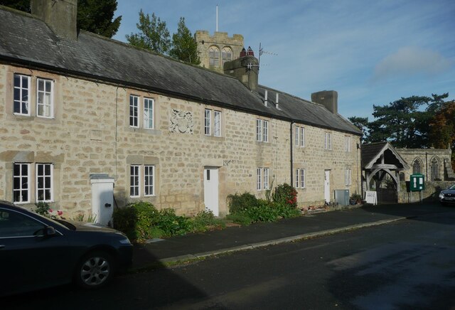
Well is a small village and civil parish in North Yorkshire, England. It is about 4 miles south of Bedale, near Snape. Well is situated at the edge of...

Snape, North Yorkshire

Snape is a large village in the civil parish of Snape with Thorp in North Yorkshire, England, located about 3 miles (5 km) south of Bedale and 3 miles...

Snape with Thorp

Snape with Thorp is a civil parish in the Hambleton District of North Yorkshire, England. It comprises the village of Snape and the hamlet of Thorp. The...
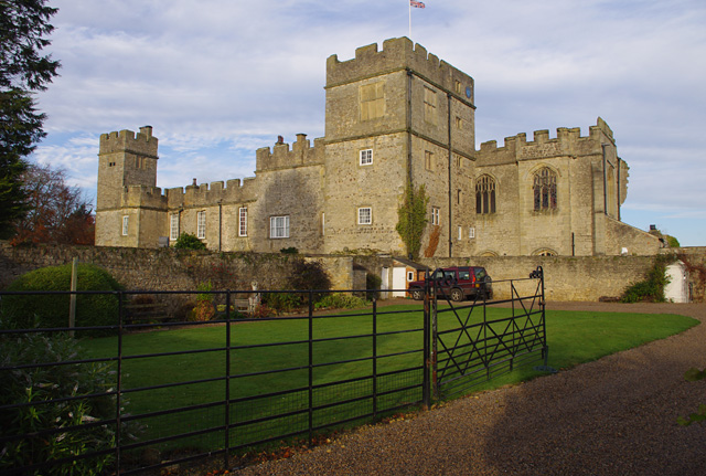
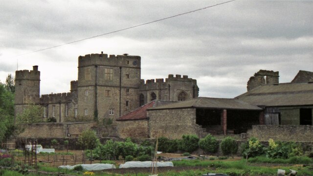
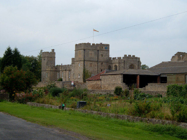
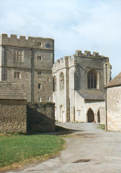
Snape Castle

Snape Castle is a semi-fortified manor house in the village of Snape, North Yorkshire, England. The castle is 3 miles (5 km) south of Bedale and 19 miles...

Nearby Amenities

Located within 500m of 54.240918,-1.587259
Power: pole
Lat/Long: 54.2447298/-1.5894613
Power: pole
Lat/Long: 54.243818/-1.5894202
Power: pole
Lat/Long: 54.2429009/-1.5893404
Power: pole
Lat/Long: 54.2419971/-1.5893039
Power: pole
Lat/Long: 54.2410987/-1.5892509
Power: pole
Lat/Long: 54.2401801/-1.5891967
Power: pole
Lat/Long: 54.2394176/-1.588745
Power: pole
Lat/Long: 54.2386031/-1.5882614
Power: pole
Lat/Long: 54.2376738/-1.588323
Power: pole
Lat/Long: 54.2367459/-1.5884005
Power: pole
Lat/Long: 54.2410898/-1.5893267
Power: pole
Lat/Long: 54.240944/-1.5905699
Power: pole
Lat/Long: 54.2407974/-1.5918565
Power: pole
Lat/Long: 54.2408534/-1.5935652
The data included in this document is from www.openstreetmap.org. The data is made available under ODbL.

Have you been to Low Park Wood?

Leave your review of Low Park Wood below (or comments, questions and feedback).