Upper Stub Nooks Plantation

Wood, Forest in Yorkshire

England

Upper Stub Nooks Plantation

Cannon Hall walled garden Cannon Hall is a country estate in South Yorkshire, managed by Barnsley District Council.  The estate, including outlying farms and the Rowlands cricket ground, covers parts of Cawthorne and High Hoyland civil parishes and is a grade II listed park (list entry 1001159).

The park was laid out in the 1760s by Richard Woods for John Spencer of Cawthorne, a local iron mine owner, and was taken over as a public park including the grade II* listed Hall (list entry 1151805).
Cannon Hall walled garden Credit: Dave Pickersgill

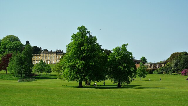
Upper Stub Nooks Plantation is a picturesque woodland located in Yorkshire, England. Situated in the heart of the county, the plantation covers an area of approximately 500 acres, making it a significant natural resource in the region. The woodland is known for its dense vegetation, consisting primarily of oak, beech, and ash trees, which provide a rich habitat for various species of flora and fauna.

The plantation is renowned for its scenic beauty, with well-maintained walking trails that allow visitors to explore the natural splendor it has to offer. These trails wind through the woodland, offering breathtaking views of the surrounding countryside and occasional glimpses of wildlife, such as deer, rabbits, and a wide variety of bird species.

Upper Stub Nooks Plantation also serves as an important ecological site, providing a haven for many endangered and indigenous species. The woodland supports a diverse range of plant life, including rare wildflowers and ferns that thrive in the damp and shaded environment. Additionally, the plantation is home to numerous insects, small mammals, and birds, contributing to the overall biodiversity of the area.

The woodland is open to the public year-round, attracting nature enthusiasts, hikers, and photographers who appreciate the tranquility and natural beauty it offers. The plantation is easily accessible, with designated parking areas and well-marked trails, ensuring visitors can enjoy a safe and enjoyable experience.

Overall, Upper Stub Nooks Plantation is a cherished natural haven in Yorkshire, offering a sanctuary for wildlife and a peaceful escape for those seeking to immerse themselves in nature's splendor.

If you have any feedback on the listing, please let us know in the comments section below.

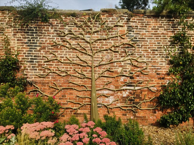
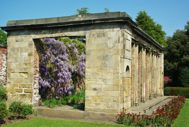
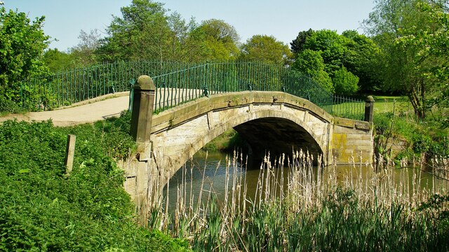
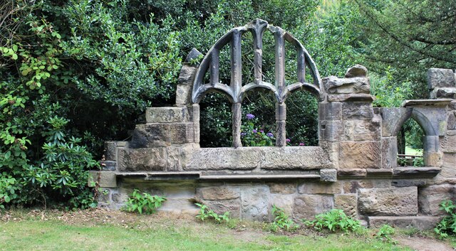
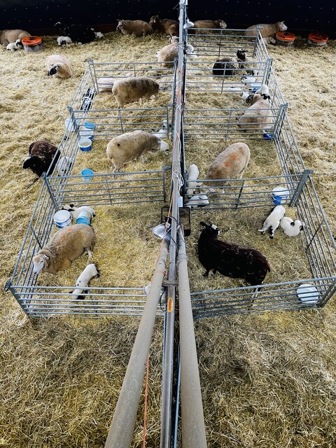
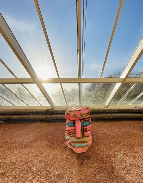
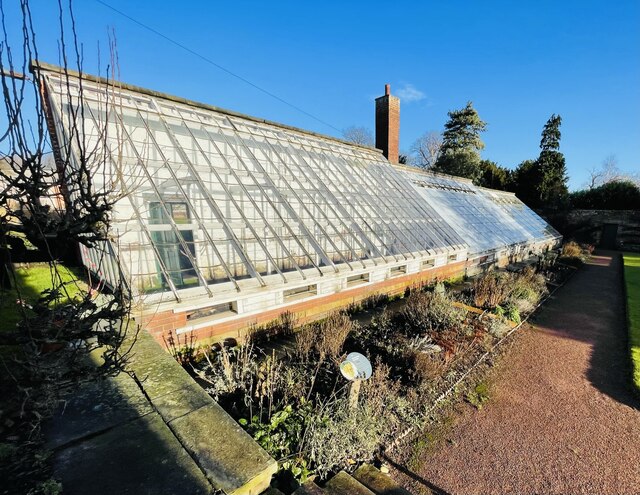
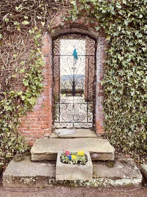
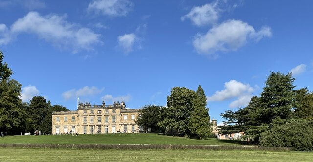
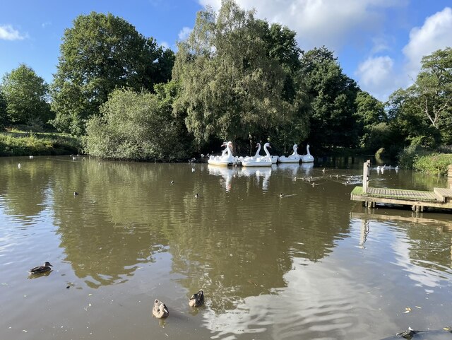
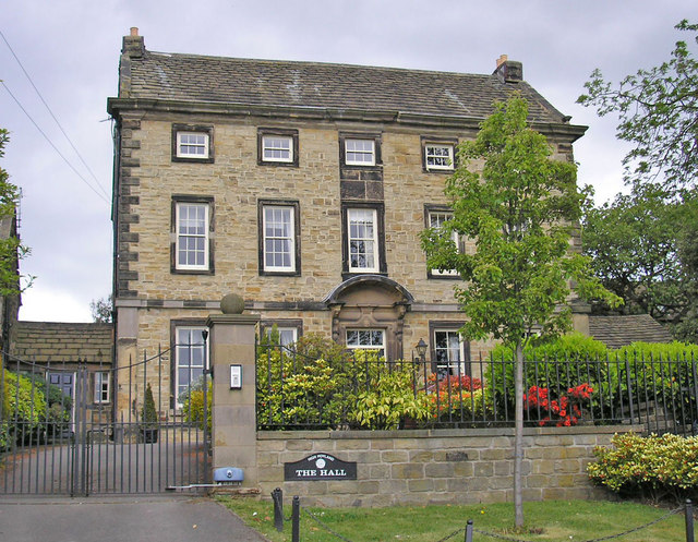
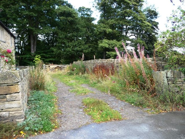
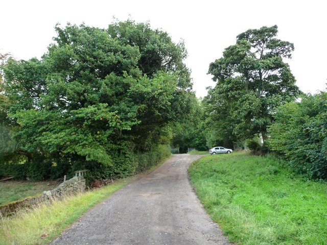
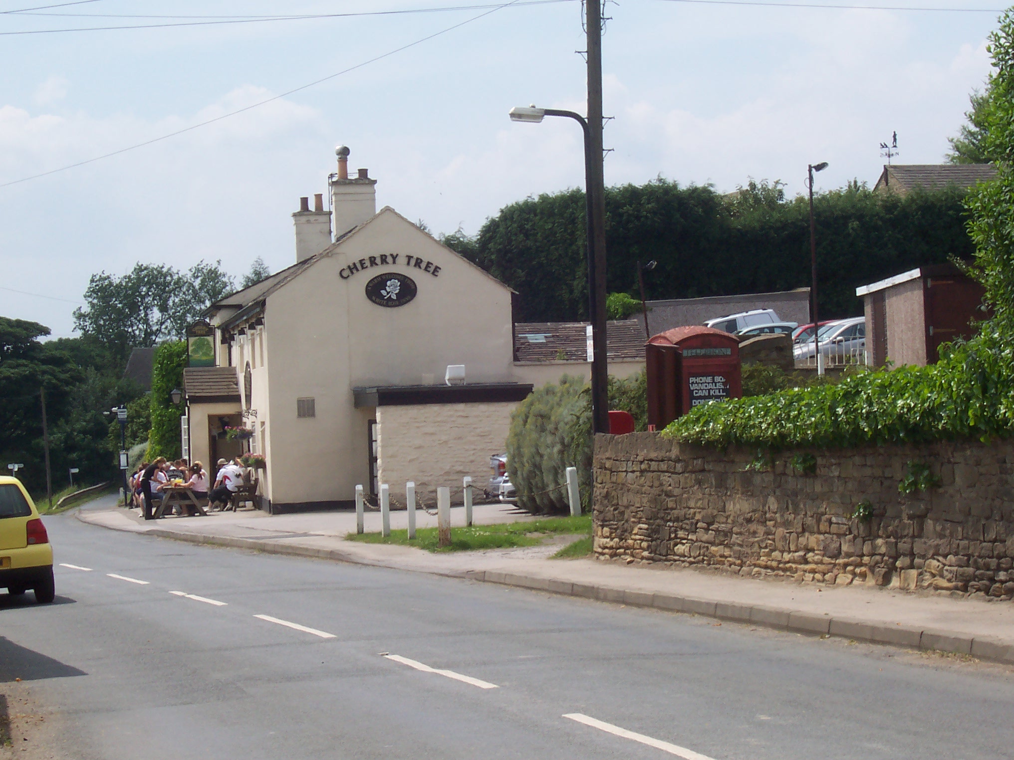
Upper Stub Nooks Plantation Images

Images are sourced within 2km of 53.579507/-1.5941932 or Grid Reference SE2609. Thanks to Geograph Open Source API. All images are credited.

Cannon Hall walled garden Cannon Hall is a country estate in South Yorkshire, managed by Barnsley District Council.  The estate, including outlying farms and the Rowlands cricket ground, covers parts of Cawthorne and High Hoyland civil parishes and is a grade II listed park (list entry 1001159).

The park was laid out in the 1760s by Richard Woods for John Spencer of Cawthorne, a local iron mine owner, and was taken over as a public park including the grade II* listed Hall (list entry 1151805).
Cannon Hall walled garden
Cannon Hall is a country estate in South Yorkshire, managed by Barnsley District Council. The estate, including outlying farms and the Rowlands cricket ground, covers parts of Cawthorne and High Hoyland civil parishes and is a grade II listed park (list entry 1001159). The park was laid out in the 1760s by Richard Woods for John Spencer of Cawthorne, a local iron mine owner, and was taken over as a public park including the grade II* listed Hall (list entry 1151805).
Wisteria in Hot House On the Cannon Hall Estate
Wisteria in Hot House
On the Cannon Hall Estate
Footbridge over The Pond In Cannon Hall Park an historic bridge
Footbridge over The Pond
In Cannon Hall Park an historic bridge
Cannon Hall Country Park With Cannon Hall south frontage and gardens on a higher level
Cannon Hall Country Park
With Cannon Hall south frontage and gardens on a higher level
Old milestone The road towards Shepley Lane Head and Holmfirth used to wend its way through Cawthorne village.  In the 20C a by-pass was built.   Some years ago this stone was found buried, perhaps from the 1940 Government instructions, but set up and in 2015 was repainted.   Although set into the pavement all the legends can be read.  The herb robert makes an attractive addition. It is Grade II listed 1151767.
Old milestone
The road towards Shepley Lane Head and Holmfirth used to wend its way through Cawthorne village. In the 20C a by-pass was built. Some years ago this stone was found buried, perhaps from the 1940 Government instructions, but set up and in 2015 was repainted. Although set into the pavement all the legends can be read. The herb robert makes an attractive addition. It is Grade II listed 1151767.
Cannon Hall Country Park Cannon Hall Country Park with Emley Moor TV mast in the background.
Cannon Hall Country Park
Cannon Hall Country Park with Emley Moor TV mast in the background.
Cannon Hall Country Park
Cannon Hall, Bransley
Cannon Hall Country Park
Cannon Hall Open Farm, Cawthorne All is well at the open farm, star of TV.
Cannon Hall Open Farm, Cawthorne
All is well at the open farm, star of TV.
Art in the greenhouse Artwork in the Victorian greenhouse located in the walled garden at Cannon Hall.
Art in the greenhouse
Artwork in the Victorian greenhouse located in the walled garden at Cannon Hall.
Victorian greenhouse at Cannon Hall walled garden
The walled garden at Cannon Hall
Cannon Hall, Barnsley Cannon Hall is a country estate in South Yorkshire, managed by Barnsley District Council.  The estate, including outlying farms and the Rowlands cricket ground, covers parts of Cawthorne and High Hoyland civil parishes and is a grade II listed park (list entry 1001159).

The park was laid out in the 1760s by Richard Woods for John Spencer of Cawthorne, a local iron mine owner, and was taken over as a public park including the grade II* listed Hall (list entry 1151805).
Cannon Hall, Barnsley
Cannon Hall is a country estate in South Yorkshire, managed by Barnsley District Council. The estate, including outlying farms and the Rowlands cricket ground, covers parts of Cawthorne and High Hoyland civil parishes and is a grade II listed park (list entry 1001159). The park was laid out in the 1760s by Richard Woods for John Spencer of Cawthorne, a local iron mine owner, and was taken over as a public park including the grade II* listed Hall (list entry 1151805).
Swan boats at Cannon Hall Country Park
The Hall at High Hoyland A Grade II listed building from about 1720. Probably built for Sir Henry Wentworth.
The Hall at High Hoyland
A Grade II listed building from about 1720. Probably built for Sir Henry Wentworth.
Footpath running north from Bilham Road It doesn't pass through the field gate, but goes to the left of it.
Footpath running north from Bilham Road
It doesn't pass through the field gate, but goes to the left of it.
Bilham Road turning into a footpath Heading east, but to Bilham Grange, not Clayton East.
Bilham Road turning into a footpath
Heading east, but to Bilham Grange, not Clayton East.
Show me another place!

Upper Stub Nooks Plantation is located at Grid Ref: SE2609 (Lat: 53.579507, Lng: -1.5941932)

Division: West Riding

Unitary Authority: Barnsley

Police Authority: South Yorkshire

What 3 Words

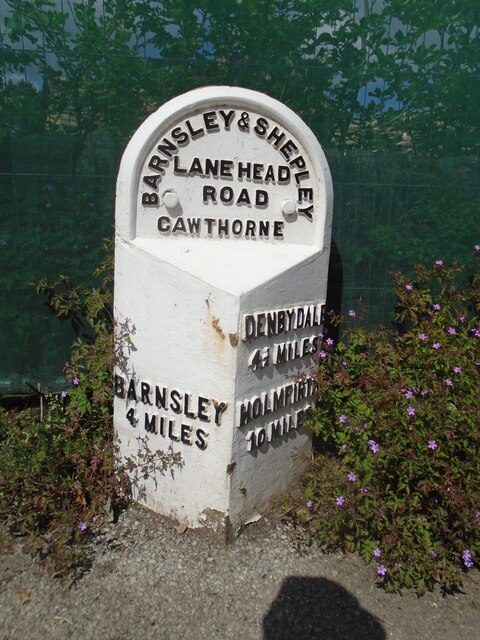
///choirs.bright.tonal. Near Cawthorne, South Yorkshire

Related Wikis

Cannon Hall Farm

Cannon Hall Farm is a working farm and tourist attraction close to the village of Cawthorne, near Barnsley in the English county of South Yorkshire. Open...

High Hoyland

High Hoyland is a village and civil parish in the Metropolitan Borough of Barnsley in South Yorkshire, England, on the border with West Yorkshire. It lies...
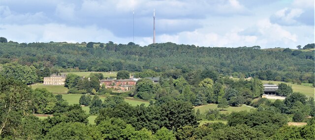
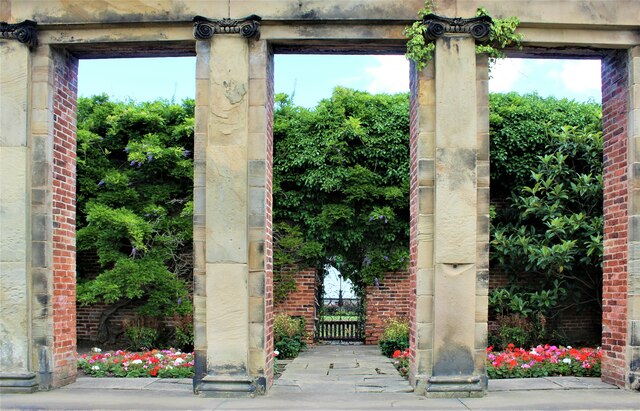
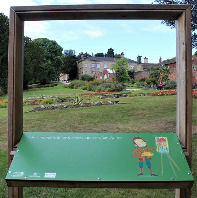
Cannon Hall

Cannon Hall is a country house museum located between the villages of Cawthorne and High Hoyland some 5 miles (8 km) west of Barnsley, South Yorkshire...

Cawthorne

Cawthorne is a village and civil parish in the Metropolitan Borough of Barnsley, South Yorkshire, England. The village was once a centre of the iron and...

Nearby Amenities

Located within 500m of 53.579507,-1.5941932
Barrier: stile
Stile: stepover
Lat/Long: 53.5799003/-1.5945894
Barrier: stile
Stile: stepover
Lat/Long: 53.5789542/-1.5883513
Power: pole
Lat/Long: 53.5784923/-1.5891954
Power: pole
Lat/Long: 53.5791004/-1.5911006
Power: pole
Lat/Long: 53.5797974/-1.5933075
Power: pole
Lat/Long: 53.5801545/-1.5944492
Power: pole
Lat/Long: 53.5806192/-1.5959144
Power: pole
Lat/Long: 53.5811031/-1.5974531
Power: pole
Lat/Long: 53.5815701/-1.5988869
Power: pole
Lat/Long: 53.5769395/-1.5983241
Power: pole
Lat/Long: 53.5772413/-1.597406
Power: pole
Lat/Long: 53.5775505/-1.5966727
Power: pole
Lat/Long: 53.5778231/-1.5958007
Power: pole
Lat/Long: 53.5776822/-1.5948764
Power: pole
Lat/Long: 53.5774773/-1.5938289
Power: pole
Lat/Long: 53.5773109/-1.5929323
Power: pole
Lat/Long: 53.5763578/-1.5919895
Power: pole
Lat/Long: 53.5758968/-1.5915951
Power: pole
Lat/Long: 53.5757632/-1.5911114
Power: pole
Lat/Long: 53.575937/-1.5903195
Power: pole
Lat/Long: 53.5780699/-1.5927497
Turning Loop
Lat/Long: 53.5826448/-1.5958235
Barrier: stile
Stile: stepover
Lat/Long: 53.5786749/-1.5923626
Barrier: stile
Stile: stepover
Lat/Long: 53.5809406/-1.5959823
Parking
Capacity: 6
Fee: no
Lat/Long: 53.577054/-1.5963157
Barrier: stile
Stile: stepover
Lat/Long: 53.5795434/-1.5934517
Barrier: stile
Stile: stepover
Lat/Long: 53.5803773/-1.5896022
The data included in this document is from www.openstreetmap.org. The data is made available under ODbL.

Have you been to Upper Stub Nooks Plantation?

Leave your review of Upper Stub Nooks Plantation below (or comments, questions and feedback).