High Wood

Wood, Forest in Warwickshire North Warwickshire

England

High Wood

Play area at Birchley Heath The play equipment is provided by Ansley Parish Council on this small field in the hamlet of Birchley Heath. In the background is Bentley Park Wood; historically this area was covered by the vast Forest of Arden.
Play area at Birchley Heath Credit: Stephen McKay

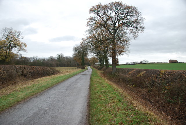
High Wood is a picturesque forest located in the county of Warwickshire, England. Nestled in the heart of the county, it covers an area of approximately 200 acres and is a popular destination for nature enthusiasts and hikers alike.

The woodland is characterized by its dense canopy of tall, mature trees, predominantly oak and beech, which create a serene and tranquil atmosphere. The forest floor is covered with a thick carpet of moss and ferns, adding to the enchanting beauty of the area.

High Wood is home to a diverse range of wildlife, including various species of birds, mammals, and insects. Birdwatchers can spot woodpeckers, owls, and a variety of songbirds, while lucky visitors may catch a glimpse of a deer or fox roaming through the trees.

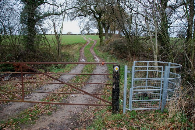
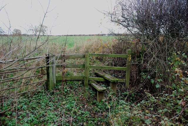
The woodland offers a network of well-maintained trails, allowing visitors to explore its natural wonders. These paths wind through the forest, offering glimpses of sun-dappled glades and babbling brooks. In the spring, the forest floor is adorned with a vibrant display of wildflowers, creating a picture-perfect scene.

High Wood also holds historical significance, having been part of the ancient Forest of Arden. It is believed that the forest has been present for hundreds of years, with evidence of human activity dating back to prehistoric times.

Overall, High Wood is a captivating destination that offers a harmonious blend of natural beauty and historical significance. Whether visitors seek solitude, wildlife encounters, or a peaceful walk in nature, High Wood is sure to deliver a memorable and fulfilling experience.

If you have any feedback on the listing, please let us know in the comments section below.
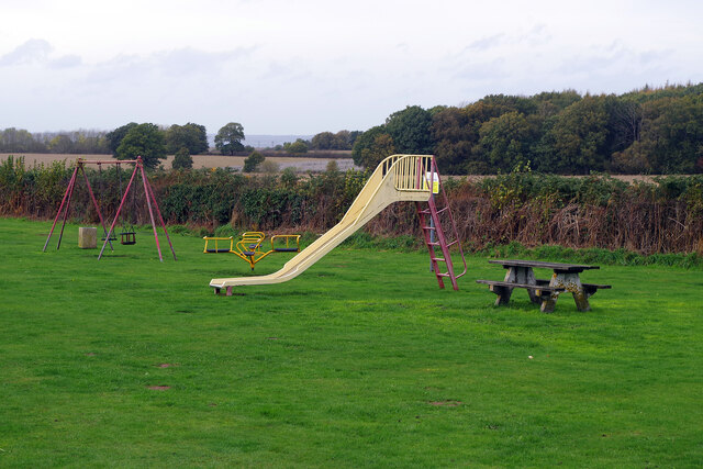
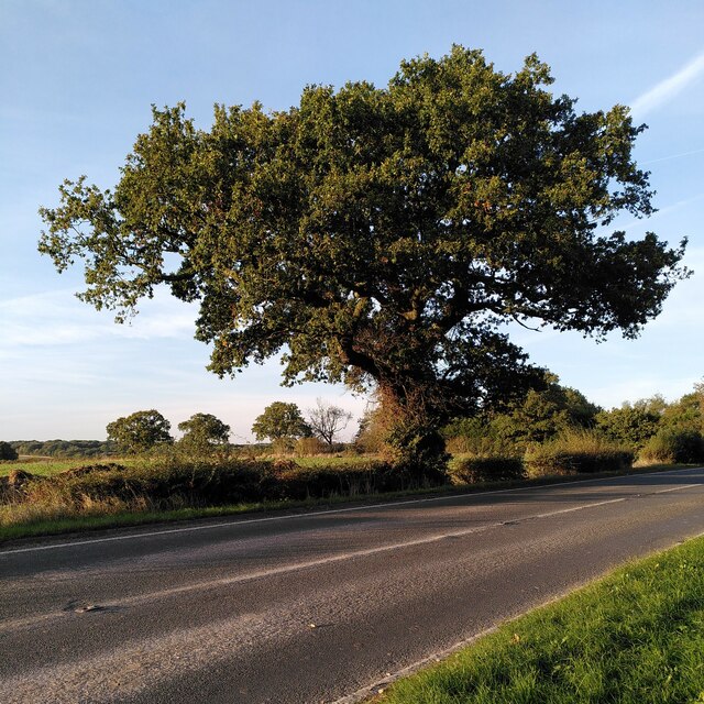
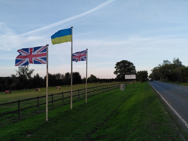
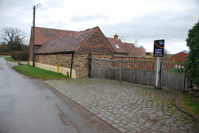
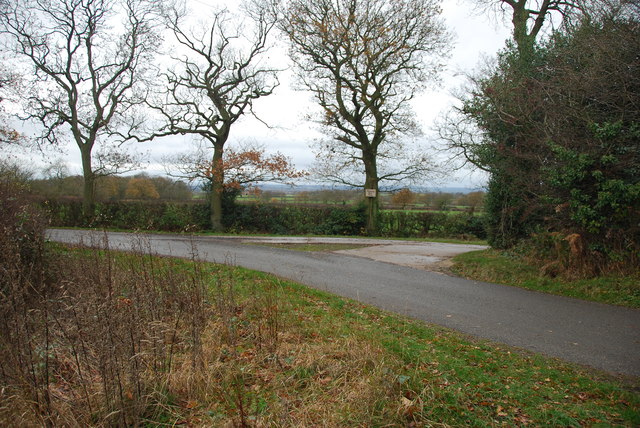
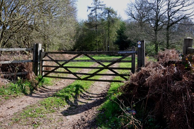
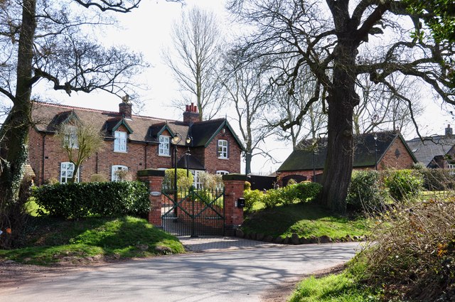
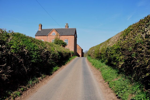
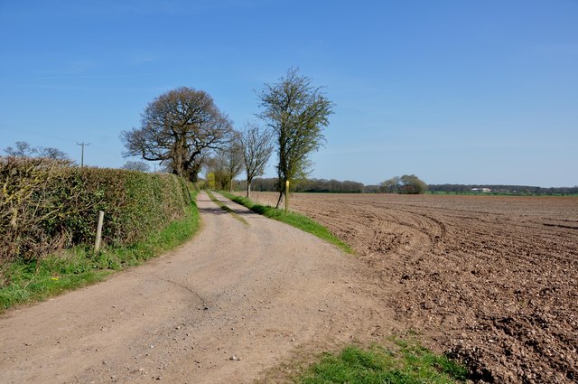
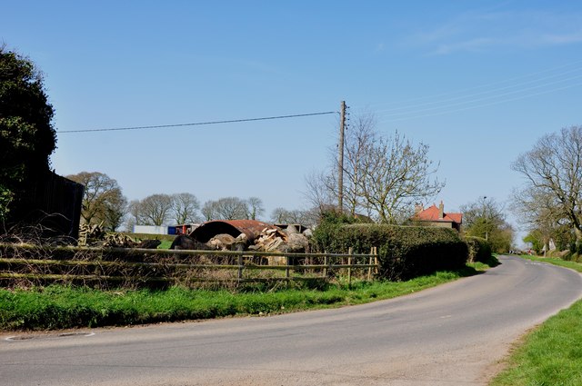
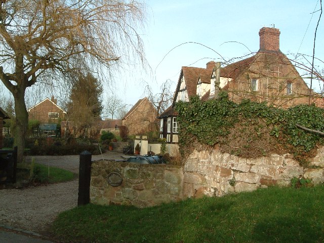
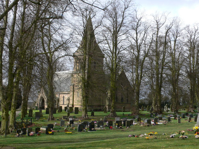
High Wood Images

Images are sourced within 2km of 52.541855/-1.6048249 or Grid Reference SP2693. Thanks to Geograph Open Source API. All images are credited.

Play area at Birchley Heath The play equipment is provided by Ansley Parish Council on this small field in the hamlet of Birchley Heath. In the background is Bentley Park Wood; historically this area was covered by the vast Forest of Arden.
Play area at Birchley Heath
The play equipment is provided by Ansley Parish Council on this small field in the hamlet of Birchley Heath. In the background is Bentley Park Wood; historically this area was covered by the vast Forest of Arden.
Oak tree by the roadside, Monwode Lea This fine oak is growing beside the B4114. The wood visible in the distance is Hoar Park.
Oak tree by the roadside, Monwode Lea
This fine oak is growing beside the B4114. The wood visible in the distance is Hoar Park.
Flags by Nuneaton Road, Hoar Park Farm British solidarity with Ukraine is on display outside the entrance to the craft centre at Hoar Park Farm.
Flags by Nuneaton Road, Hoar Park Farm
British solidarity with Ukraine is on display outside the entrance to the craft centre at Hoar Park Farm.
The OS map says Brook End Farm There seems to be two Brook End Farms within a few hundred yards of each other.  see link  <a title="https://www.geograph.org.uk/photo/110661" href="https://www.geograph.org.uk/photo/110661">Link</a>
The OS map says Brook End Farm
There seems to be two Brook End Farms within a few hundred yards of each other. see link Link
A Country lane with very neat hedges
Kissing Gate and footpath to Hurley
Stile and footpath to Kimberley Hall Farm
19 Gales Farmhouse Foods The farm is called Nightingales so the play on words for the free range beef herd is very clever. If you want some of this beef ring 01827-716551 or go to website via link.   <span class="nowrap"><a title="http://www.19gales.co.uk/" rel="nofollow ugc noopener" href="http://www.19gales.co.uk/">Link</a><img style="margin-left:2px;" alt="External link" title="External link - shift click to open in new window" src="https://s1.geograph.org.uk/img/external.png" width="10" height="10"/></span>
19 Gales Farmhouse Foods
The farm is called Nightingales so the play on words for the free range beef herd is very clever. If you want some of this beef ring 01827-716551 or go to website via link. LinkExternal link
19 Gales Farmhouse Foods outdoor free range Pigs This is just a few of the free range pigs at Nightingales farm, the majority are kept in their woodland. To purchase their products, see link. <span class="nowrap"><a title="http://www.19gales.co.uk/" rel="nofollow ugc noopener" href="http://www.19gales.co.uk/">Link</a><img style="margin-left:2px;" alt="External link" title="External link - shift click to open in new window" src="https://s1.geograph.org.uk/img/external.png" width="10" height="10"/></span>
19 Gales Farmhouse Foods outdoor free range Pigs
This is just a few of the free range pigs at Nightingales farm, the majority are kept in their woodland. To purchase their products, see link. LinkExternal link
Country Lane at the end of the drive to Kimberley Hall Farm
A country lane in autumn colours near Bentley
Five bar gate and footpath
The remains of a Chapel at Chapel Farm, near the B4116 This one wall is all that is left standing of this old Chapel.
The remains of a Chapel at Chapel Farm, near the B4116
This one wall is all that is left standing of this old Chapel.
Cottages on Green Lane near Birchley Heath The Centenary Way passes to the left of these cottages.
Cottages on Green Lane near Birchley Heath
The Centenary Way passes to the left of these cottages.
Approaching Chapel Farm on a very narrow Green Lane
Playing field at Birchley Heath The Centenary Way runs along the side of this playing field.
Playing field at Birchley Heath
The Centenary Way runs along the side of this playing field.
Access track to Birchley Farm off Birchley Heath Road There is a large locked steel gate to the left of the picture.
Access track to Birchley Farm off Birchley Heath Road
There is a large locked steel gate to the left of the picture.
Cottage Farm on Birchley Heath Road
Show me another place!

High Wood is located at Grid Ref: SP2693 (Lat: 52.541855, Lng: -1.6048249)

Administrative County: Warwickshire

District: North Warwickshire

Police Authority: Warwickshire

What 3 Words

///scan.daredevil.darting. Near Kingsbury, Warwickshire

Related Wikis

Bentley, Warwickshire

Bentley is a village and civil parish in the North Warwickshire district of Warwickshire, England, about two miles south-west of Atherstone. According...

Bentley Common

Bentley Common is a village in Warwickshire, England. For population details see Merevale. == External links == Media related to Bentley Common at Wikimedia...

Botts Green

Botts Green is a hamlet and green in the North Warwickshire district of the county of Warwickshire in England. It is located close to Whitacre Heath, Coleshill...

Foul End

Foul End is a small hamlet in the civil parish of Kingsbury, in the North Warwickshire district, in the county of Warwickshire, England. Other nearby places...

Church of the Resurrection, Hurley

Church of the Resurrection is a small wooden Church of England church in Hurley, Warwickshire, England, dating from 1861 It is part of the parish of Baxterley...

Baddesley Ensor

Baddesley Ensor is a village and civil parish in the district of North Warwickshire in Warwickshire, England, about three miles west of Atherstone. It...

Over Whitacre

Over Whitacre is a village containing the hamlets of Botts Green, Furnace End and Monwode Lea in North Warwickshire, Warwickshire, England. The population...

Furnace End

Furnace End is a large hamlet in the civil parish of Over Whitacre, and in the North Warwickshire district of Warwickshire, England. It is on the B4114...

Nearby Amenities

Located within 500m of 52.541855,-1.6048249
Power: pole
Source: Warwicks CC Aerial Imagery 2013
Lat/Long: 52.5396957/-1.610751
Power: pole
Source: Warwicks CC Aerial Imagery 2013
Lat/Long: 52.5393866/-1.6095065
The data included in this document is from www.openstreetmap.org. The data is made available under ODbL.

Have you been to High Wood?

Leave your review of High Wood below (or comments, questions and feedback).