Stoneymoor Wood

Wood, Forest in Warwickshire Warwick

England

Stoneymoor Wood

Future HS2-spotting opportunity, southeast of Broadwells Wood In this scene near South Hurst Farm HS2 will run across from the right into Broadwells Wood, left. The view is from the Kenilworth Greenway.
Future HS2-spotting opportunity, southeast of Broadwells Wood Credit: Robin Stott

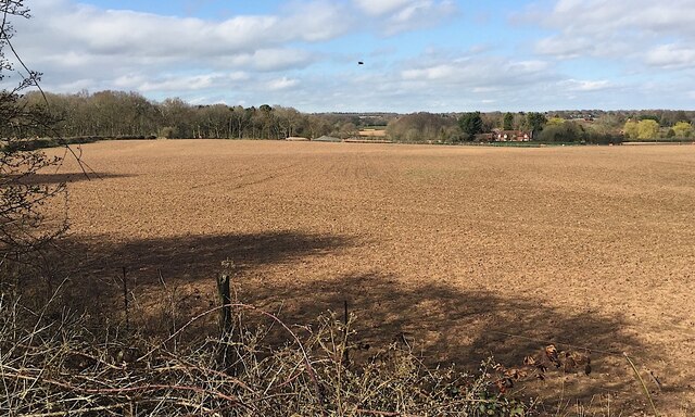
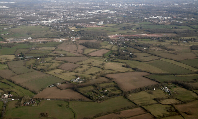
Stoneymoor Wood is a picturesque forest located in Warwickshire, England. Spread across an area of approximately 100 acres, this woodland is a haven for nature enthusiasts and an important ecological site. It is situated on the outskirts of the charming village of Stoneymoor, which lends its name to the wood.

The wood is primarily composed of mature and diverse tree species such as oak, birch, beech, and ash. These towering trees create a dense canopy, allowing only dappled sunlight to filter through, giving the forest a mystical and enchanting ambiance. The forest floor is covered with a rich carpet of mosses, ferns, and wildflowers, adding to its natural beauty.

Stoneymoor Wood is home to a variety of wildlife, including mammals like deer, foxes, badgers, and squirrels. Bird enthusiasts can spot a plethora of species, including woodpeckers, owls, and many songbirds. The wood also boasts a small stream that meanders through it, providing a source of water for both animals and plants.

The forest offers several walking trails, allowing visitors to explore its beauty at their own pace. These trails vary in difficulty, catering to both casual strollers and more experienced hikers. Along the way, informative signposts provide interesting facts about the flora and fauna found within the wood.

Stoneymoor Wood is not only a natural gem but also a valuable resource for local communities. It offers an ideal setting for outdoor activities such as picnics, photography, and nature walks. The wood serves as an important carbon sink, purifying the air and contributing to the overall well-being of the environment. Its beauty and tranquility make it a popular destination for people seeking solace in nature.

If you have any feedback on the listing, please let us know in the comments section below.

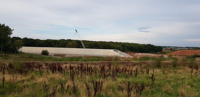
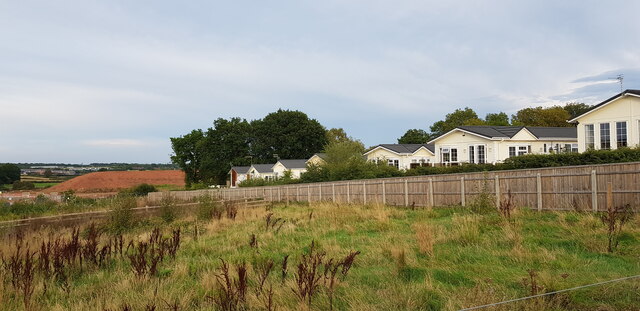
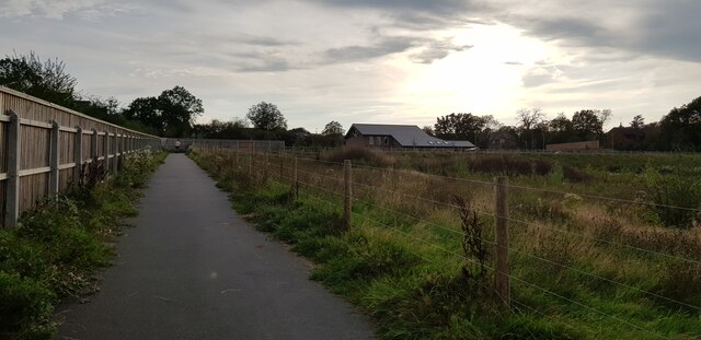
Stoneymoor Wood Images

Images are sourced within 2km of 52.373186/-1.6080203 or Grid Reference SP2675. Thanks to Geograph Open Source API. All images are credited.

Future HS2-spotting opportunity, southeast of Broadwells Wood In this scene near South Hurst Farm HS2 will run across from the right into Broadwells Wood, left. The view is from the Kenilworth Greenway.
Future HS2-spotting opportunity, southeast of Broadwells Wood
In this scene near South Hurst Farm HS2 will run across from the right into Broadwells Wood, left. The view is from the Kenilworth Greenway.
HS2 construction site at Burton Green from the air Burton Green is in the foreground, Westwood Heath and the Network Rail conference centre are in the distance. Viewed from a Birmingham bound flight from Prague.
HS2 construction site at Burton Green from the air
Burton Green is in the foreground, Westwood Heath and the Network Rail conference centre are in the distance. Viewed from a Birmingham bound flight from Prague.
HS2 construction site at Burton Green from the air Burton Green is in the foreground. Viewed from a Birmingham bound flight from Prague.
HS2 construction site at Burton Green from the air
Burton Green is in the foreground. Viewed from a Birmingham bound flight from Prague.
HS2 construction site near Burton Green from the air Burton Green is just out of sight to the right of the works, with the western side of Coventry to the top right corner. The roundabout at the junction of the A4177 and A452 is in the foreground. Viewed from a Birmingham bound flight from Prague.
HS2 construction site near Burton Green from the air
Burton Green is just out of sight to the right of the works, with the western side of Coventry to the top right corner. The roundabout at the junction of the A4177 and A452 is in the foreground. Viewed from a Birmingham bound flight from Prague.
HS2 construction site at Burton Green from the air Burton Green is to the right, Coventry in the distance. Viewed from a Birmingham bound flight from Prague.
HS2 construction site at Burton Green from the air
Burton Green is to the right, Coventry in the distance. Viewed from a Birmingham bound flight from Prague.
Approaching HS2 site access, Crackley Lane, near Westwood Heath The site access, signed further along the road, is seen in <a href="https://www.geograph.org.uk/photo/6832380">SP2775 : HS2 enabling works, Crackley-Burton Green, March 2021 (13)</a>.
Approaching HS2 site access, Crackley Lane, near Westwood Heath
The site access, signed further along the road, is seen in SP2775 : HS2 enabling works, Crackley-Burton Green, March 2021 (13).
Millennium Way near Chase Farm The route crosses a field of young corn.
Millennium Way near Chase Farm
The route crosses a field of young corn.
Footpath near Rudfyn Manor Part of the Millennium Way. Some oil seed rape stands to the left.
Footpath near Rudfyn Manor
Part of the Millennium Way. Some oil seed rape stands to the left.
Clover field above Chase Farm A view from the Millennium Way near Rudfyn Manor.
Clover field above Chase Farm
A view from the Millennium Way near Rudfyn Manor.
Wheat field below Rudfyn Manor Looking down into the valley of Finham Brook.
Wheat field below Rudfyn Manor
Looking down into the valley of Finham Brook.
Wheat field near Rudfyn Manor Looking north from a footpath between Rudfyn Manor and Meer End.
Wheat field near Rudfyn Manor
Looking north from a footpath between Rudfyn Manor and Meer End.
Field near Rudfyn Manor The sheep is currently being grazed by sheep but they are all in the far corner.
Field near Rudfyn Manor
The sheep is currently being grazed by sheep but they are all in the far corner.
Footpath to Meer End The path passes through numerous fields. The usage moves from arable to livestock as you get nearer to Meer End.
Footpath to Meer End
The path passes through numerous fields. The usage moves from arable to livestock as you get nearer to Meer End.
Burton Green Village Hall This impressive village hall is newly built, I imagine as compensation for the disruption caused by HS2 which is being built right through the village.
Burton Green Village Hall
This impressive village hall is newly built, I imagine as compensation for the disruption caused by HS2 which is being built right through the village.
HS2 Construction at Burton Green At this point a tunnel is being built to convey HS2 which here is close to residential settlement. I imagine the tunnel will later be buried and the area landscaped.
HS2 Construction at Burton Green
At this point a tunnel is being built to convey HS2 which here is close to residential settlement. I imagine the tunnel will later be buried and the area landscaped.
Broadwell Woods, Burton Green The homes of Broadwell Woods can be seen behind the fence. The construction of HS2 can just be seen in the left distance - there is a large mound of soil.
Broadwell Woods, Burton Green
The homes of Broadwell Woods can be seen behind the fence. The construction of HS2 can just be seen in the left distance - there is a large mound of soil.
Shared Use Path, Burton Green This shared use path is quite newly constructed and forms part of the Kenilworth Greenway HS2 diversion which is in place for the duration of the works. The new Burton Green village hall is in the background.
Shared Use Path, Burton Green
This shared use path is quite newly constructed and forms part of the Kenilworth Greenway HS2 diversion which is in place for the duration of the works. The new Burton Green village hall is in the background.
Welcome to the City of Coventry, Tile Hill This sign, by the junction of Cromwell Lane and Westwood Heath Road, marks the boundary between Burton Green, a ribbon development suburb in Warwickshire, and Tile Hill in Coventry.
Welcome to the City of Coventry, Tile Hill
This sign, by the junction of Cromwell Lane and Westwood Heath Road, marks the boundary between Burton Green, a ribbon development suburb in Warwickshire, and Tile Hill in Coventry.
Show me another place!

Stoneymoor Wood is located at Grid Ref: SP2675 (Lat: 52.373186, Lng: -1.6080203)

Administrative County: Warwickshire

District: Warwick

Police Authority: Warwickshire

What 3 Words

///horns.wash.claims. Near Kenilworth, Warwickshire

Related Wikis

Burton Green

Burton Green is a village and civil parish in the Warwick district of the county of Warwickshire, England, some 4.8 km (3.0 mi) northwest of Kenilworth...

Westwood Heath

Westwood Heath is a southwestern suburb of the City of Coventry in the West Midlands, England. It is bordered by the suburbs of Cannon Park and Canley...

Tile Hill railway station

Tile Hill railway station is situated in the west of Tile Hill, Coventry, in the West Midlands of England. The station, and all trains serving it, are...

Kenilworth Castle

Kenilworth Castle is a castle in the town of Kenilworth in Warwickshire, England, managed by English Heritage; much of it is still in ruins. The castle...

Nearby Amenities

Located within 500m of 52.373186,-1.6080203
Material: wood
Operator: National Grid Electricity Distribution
Operator Wikidata: Q7988183
Power: pole
Lat/Long: 52.3756123/-1.6130483
Material: wood
Operator: National Grid Electricity Distribution
Operator Wikidata: Q7988183
Power: pole
Lat/Long: 52.3747592/-1.6120827
Colour: white
Marker: post
Material: plastic
Utility: fuel
Lat/Long: 52.3775413/-1.6062386
The data included in this document is from www.openstreetmap.org. The data is made available under ODbL.

Have you been to Stoneymoor Wood?

Leave your review of Stoneymoor Wood below (or comments, questions and feedback).