Leases Wood

Wood, Forest in Yorkshire Hambleton

England

Leases Wood

Nosterfield Local Nature Reserve - looking out from the Interpretation Centre Nosterfield Local Nature Reserve consists of several flooded former gravel pits. It is a haven for wild life, particularly waders, waterfowl and gulls. It is administered by the Lower Ure Conservation Trust, a voluntary body, which has provided several hides, a car park and an interpretation centre for visitors.
Nosterfield Local Nature Reserve - looking out from the Interpretation Centre Credit: C P Smith

Leases Wood is a picturesque forest located in the county of Yorkshire, England. Spanning across a vast area, it is a popular destination for nature enthusiasts and those seeking a tranquil escape from urban life. The woodland is nestled within the beautiful landscape of the Yorkshire Dales National Park, ensuring visitors are treated to breathtaking views and a diverse range of flora and fauna.

The forest is characterized by its dense canopy of trees, predominantly consisting of oak, beech, and birch. These majestic trees provide shade during the summer months, creating a cool and refreshing atmosphere. The forest floor is covered in a thick carpet of moss, ferns, and wildflowers, adding to the enchanting ambiance of the woodland.

Leases Wood is home to a variety of wildlife, making it an ideal spot for wildlife enthusiasts and birdwatchers. Visitors may catch a glimpse of deer, foxes, and squirrels roaming freely among the trees. The forest is also frequented by a wide range of bird species, including woodpeckers, owls, and songbirds. The melodious chirping of birds is a constant soundtrack to the woodland experience.

For those looking to explore the forest further, there are well-maintained walking trails that wind through the woodland, offering opportunities for leisurely strolls and more challenging hikes. These pathways provide access to hidden gems within the forest, such as tranquil ponds and babbling brooks, adding to the serene atmosphere.

Overall, Leases Wood offers a captivating experience for nature lovers and provides a peaceful retreat in the heart of Yorkshire's stunning natural landscape.

If you have any feedback on the listing, please let us know in the comments section below.
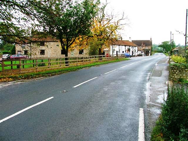
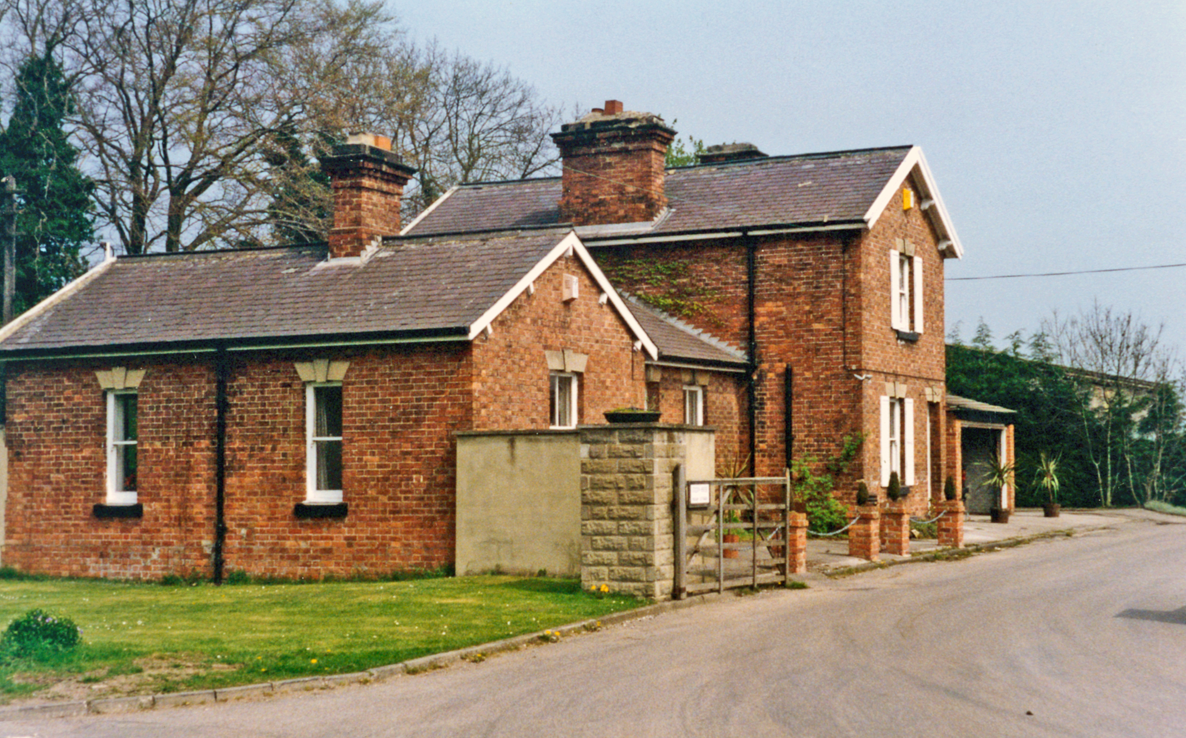
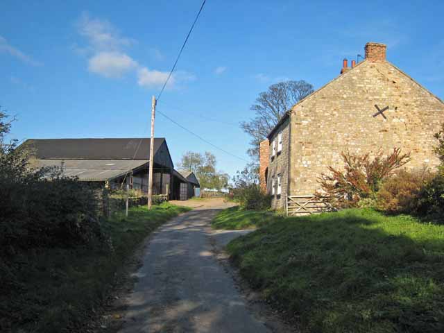
Leases Wood Images

Images are sourced within 2km of 54.222284/-1.5915398 or Grid Reference SE2680. Thanks to Geograph Open Source API. All images are credited.

Nosterfield Local Nature Reserve - looking out from the Interpretation Centre Nosterfield Local Nature Reserve consists of several flooded former gravel pits. It is a haven for wild life, particularly waders, waterfowl and gulls. It is administered by the Lower Ure Conservation Trust, a voluntary body, which has provided several hides, a car park and an interpretation centre for visitors.
Nosterfield Local Nature Reserve - looking out from the Interpretation Centre
Nosterfield Local Nature Reserve consists of several flooded former gravel pits. It is a haven for wild life, particularly waders, waterfowl and gulls. It is administered by the Lower Ure Conservation Trust, a voluntary body, which has provided several hides, a car park and an interpretation centre for visitors.
Looking north up Mowbray Terrace, West Tanfield The building in the centre of the photograph is the Methodist Church.
Looking north up Mowbray Terrace, West Tanfield
The building in the centre of the photograph is the Methodist Church.
The Bruce Arms at West Tanfield
Moor Lane, West Tanfield
Nosterfield Nature Reserve, near West Tanfield
A posh hide at Nosterfield Nature Reserve
Moor Lane at Camp House
A6108 on Courby Hill The main road descending down towards West Tanfield, from Masham.
A6108 on Courby Hill
The main road descending down towards West Tanfield, from Masham.
Long Row, West Tanfield Quiet road beside the River Ure in West Tanfield.
Long Row, West Tanfield
Quiet road beside the River Ure in West Tanfield.
Outbuilding belonging to Binsoe Hill Farm Scene in the unfrequented hamlet of Binsoe.
Outbuilding belonging to Binsoe Hill Farm
Scene in the unfrequented hamlet of Binsoe.
Binsoe A muddy track leads to Binsoe Hill Farm in this small hamlet.
Binsoe
A muddy track leads to Binsoe Hill Farm in this small hamlet.
The Bruce Arms West Tanfield From A6108
The Bruce Arms West Tanfield
From A6108
Tanfield railway station (site), Yorkshire Opened in 1875 by the North Eastern Railway on the short Melmerby-Masham branch (off the Leeds-Harrogate-Northallerton line), this station closed to passengers in 1931, long before Dr. Beeching. It continued for goods until 1963. Forecourt.
Tanfield railway station (site), Yorkshire
Opened in 1875 by the North Eastern Railway on the short Melmerby-Masham branch (off the Leeds-Harrogate-Northallerton line), this station closed to passengers in 1931, long before Dr. Beeching. It continued for goods until 1963. Forecourt.
Binsoe Lane, Binsoe Curving round a covered reservoir, south of Binsoe Hill Farm.
Binsoe Lane, Binsoe
Curving round a covered reservoir, south of Binsoe Hill Farm.
Sheep pasture at Binsoe With some beautiful winter trees in the hedgerow.
Sheep pasture at Binsoe
With some beautiful winter trees in the hedgerow.
Park Lane, Binsoe Heading south-east under the line of trees.
Park Lane, Binsoe
Heading south-east under the line of trees.
Wooded hillock at the centre of Binsoe According to the map, the site of a covered reservoir.
Wooded hillock at the centre of Binsoe
According to the map, the site of a covered reservoir.
Road junction, Binsoe Park Lane coming in across the grass from the right [south-east]. Thiefgate Lane straight ahead [north-west] and Binsoe Lane running across. Unseen is a fifth lane west to Binsoe Hill Farm.
Road junction, Binsoe
Park Lane coming in across the grass from the right [south-east]. Thiefgate Lane straight ahead [north-west] and Binsoe Lane running across. Unseen is a fifth lane west to Binsoe Hill Farm.
Show me another place!

Leases Wood is located at Grid Ref: SE2680 (Lat: 54.222284, Lng: -1.5915398)

Division: North Riding

Administrative County: North Yorkshire

District: Hambleton

Police Authority: North Yorkshire

What 3 Words

///broker.newsstand.whips. Near Masham, North Yorkshire

Nearby Locations

Leases Wood

Related Wikis

Nosterfield

Nosterfield is a hamlet within the civil parish of West Tanfield in the Hambleton district of North Yorkshire, England formerly used for quarrying. Several...

Well, North Yorkshire

Well is a small village and civil parish in North Yorkshire, England. It is about 4 miles south of Bedale, near Snape. Well is situated at the edge of...

Tanfield railway station

Tanfield railway station was a railway station serving the community of West Tanfield on the Masham Line in North Yorkshire, England. The station was opened...

Binsoe

Binsoe is a hamlet in the civil parish of West Tanfield, North Yorkshire, England. The hamlet is just to the north of the A6108 road, being 1.25 miles...

Nearby Amenities

Located within 500m of 54.222284,-1.5915398
Power: pole
Lat/Long: 54.225568/-1.5863292
Power: pole
Lat/Long: 54.2248933/-1.5858661
Power: pole
Lat/Long: 54.2241891/-1.5853597
Power: pole
Lat/Long: 54.2234916/-1.584851
Power: pole
Lat/Long: 54.2230102/-1.5853506
Power: pole
Lat/Long: 54.2224193/-1.5859779
Power: pole
Lat/Long: 54.2219019/-1.5865208
Power: pole
Lat/Long: 54.2213004/-1.5872143
Power: pole
Lat/Long: 54.2206655/-1.5878987
Power: pole
Lat/Long: 54.2198639/-1.5884735
Power: pole
Lat/Long: 54.2190197/-1.5885214
Power: pole
Lat/Long: 54.2206282/-1.5868402
Power: pole
Lat/Long: 54.2205828/-1.5855308
The data included in this document is from www.openstreetmap.org. The data is made available under ODbL.

Have you been to Leases Wood?

Leave your review of Leases Wood below (or comments, questions and feedback).