Badger Wood

Wood, Forest in Derbyshire South Derbyshire

England

Badger Wood

Field of Oilseed Rape near Linton Crop field bordering onto the village of Linton. This picture is taken from a public footpath west of the village on a bright and breezy afternoon in early May.
Field of Oilseed Rape near Linton Credit: Jonathan Clitheroe

Badger Wood is a picturesque forest located in Derbyshire, England. Covering an area of approximately 50 hectares, it is a popular destination for nature lovers and outdoor enthusiasts. The wood is situated within the larger Peak District National Park, renowned for its stunning landscapes and diverse wildlife.

Badger Wood is characterized by its dense canopy of mature broadleaf trees, including oak, beech, and birch. These towering trees create a peaceful and tranquil atmosphere, providing a habitat for a variety of woodland creatures. It is not uncommon to spot badgers, foxes, and various bird species within the wood.

The forest boasts several well-maintained footpaths, allowing visitors to explore its natural beauty. These paths wind through the enchanting woodland, offering scenic views and opportunities for wildlife observation. In the spring, the forest floor is adorned with vibrant wildflowers, creating a colorful and vibrant scene.

Badger Wood is also home to a diverse array of plant species, ranging from bluebells and primroses to ferns and mosses. This rich biodiversity makes it an ideal location for nature enthusiasts and botanists alike.

Due to its location within the Peak District National Park, Badger Wood is easily accessible by both car and public transportation. It offers ample parking facilities and picnic areas, making it an excellent spot for a day trip or a weekend getaway.

Overall, Badger Wood is a captivating woodland that showcases the natural beauty of Derbyshire. With its stunning landscapes, abundant wildlife, and well-maintained trails, it is a must-visit destination for anyone seeking a peaceful retreat in nature.

If you have any feedback on the listing, please let us know in the comments section below.
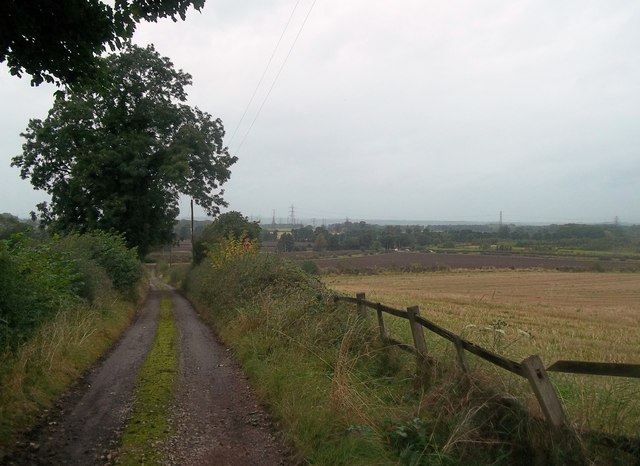
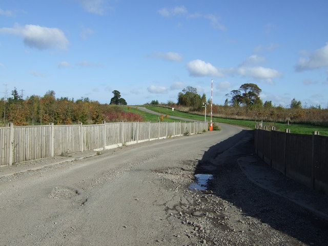
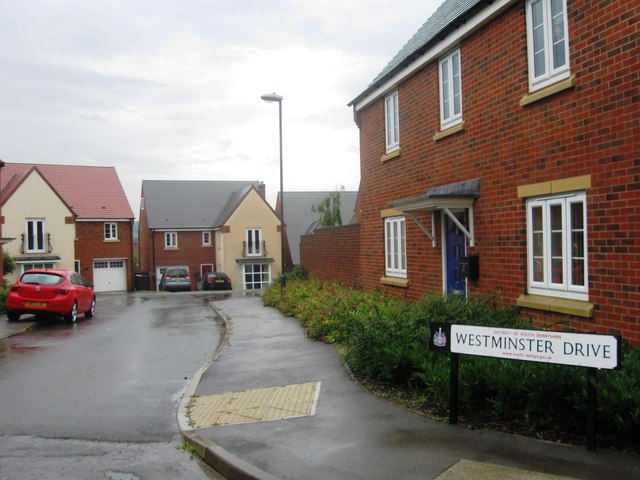
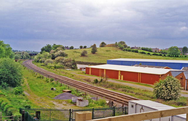
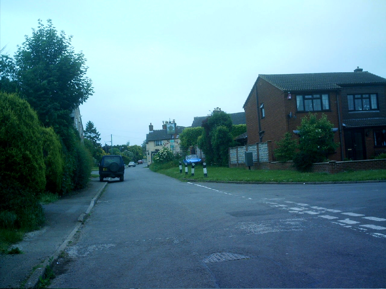
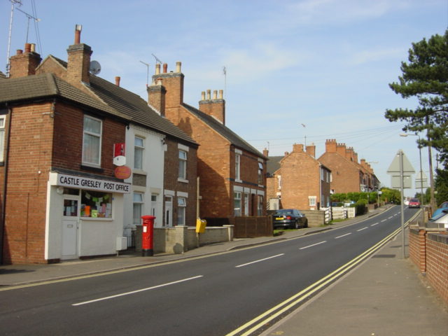
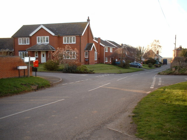
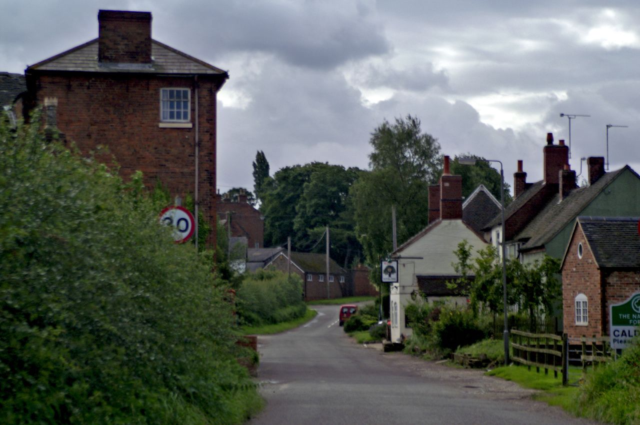
Badger Wood Images

Images are sourced within 2km of 52.756372/-1.6058067 or Grid Reference SK2617. Thanks to Geograph Open Source API. All images are credited.

Field of Oilseed Rape near Linton Crop field bordering onto the village of Linton. This picture is taken from a public footpath west of the village on a bright and breezy afternoon in early May.
Field of Oilseed Rape near Linton
Crop field bordering onto the village of Linton. This picture is taken from a public footpath west of the village on a bright and breezy afternoon in early May.
High Street in Linton High street viewed here on a bright and breezy afternoon in early May. Linton is mentioned in Domesday Book as being under the ownership of Henry de Ferrers.
High Street in Linton
High street viewed here on a bright and breezy afternoon in early May. Linton is mentioned in Domesday Book as being under the ownership of Henry de Ferrers.
Path and Field of Oilseed A footpath cuts an arrowlike swathe through a field of crops on a bright and breezy May Day afternoon. This year (2011) had seen an unusually dry spring and the earth was cracked and bone dry underfoot.
Path and Field of Oilseed
A footpath cuts an arrowlike swathe through a field of crops on a bright and breezy May Day afternoon. This year (2011) had seen an unusually dry spring and the earth was cracked and bone dry underfoot.
The Scotts bridge The Scotts as it passes over the disused railway line near to Castle Gresley.
The Scotts bridge
The Scotts as it passes over the disused railway line near to Castle Gresley.
Paddocks, Castle Gresley Paddocks off Mount Road near the railway line, Castle Gresley.
Paddocks, Castle Gresley
Paddocks off Mount Road near the railway line, Castle Gresley.
Farm Track and Footpath near Ashleigh House Looking towards the junction with Caldwell Road on a damp Wednesday in early October.
Farm Track and Footpath near Ashleigh House
Looking towards the junction with Caldwell Road on a damp Wednesday in early October.
Cadley Lane near Swadlincote
The Gate Inn near Stanton Public House and eatery situated on Woodlands Road.
The Gate Inn near Stanton
Public House and eatery situated on Woodlands Road.
Young woodland Near and Far Wood.
Young woodland
Near and Far Wood.
Bend in the road towards Caldwell
Road to Royle Farm Business Park
Westminster Drive
Westminster Drive
Salford Way
Salford Way
Salford Way
Salford Way
Site of Gresley station, 1995 View westward, towards Burton-on-Trent: ex-Midland Leicester - Burton line. The station, - mainly located off to the right, was closed 7/9/64 when the Leicester - Burton passenger service ceased.  However, the line has remained open for freight and may yet have a passenger service on the 'Ivanhoe Line'.
Site of Gresley station, 1995
View westward, towards Burton-on-Trent: ex-Midland Leicester - Burton line. The station, - mainly located off to the right, was closed 7/9/64 when the Leicester - Burton passenger service ceased. However, the line has remained open for freight and may yet have a passenger service on the 'Ivanhoe Line'.
Burton Road, Castle Gresley
Woodland Road, Castle Gresley
Show me another place!

Badger Wood is located at Grid Ref: SK2617 (Lat: 52.756372, Lng: -1.6058067)

Administrative County: Derbyshire

District: South Derbyshire

Police Authority: Derbyshire

What 3 Words

///hills.miles.wider. Near Swadlincote, Derbyshire

Nearby Locations

Badger Wood

Related Wikis

Nearby Amenities

Located within 500m of 52.756372,-1.6058067
Coton Park
Place: village
Lat/Long: 52.7552152/-1.600106
Bus Stop
Main Road
Naptan AtcoCode: 100000008721
Naptan NaptanCode: dbsgmgad
Public Transport: platform
Lat/Long: 52.7549827/-1.5994361
Bus Stop
Main Road
Naptan AtcoCode: 100000008722
Naptan NaptanCode: dbsgmgag
Public Transport: platform
Lat/Long: 52.7551621/-1.5994267
Direction: 235
Generator Method: photovoltaic
Generator Output Electricity: yes
Generator Solar Modules: 9
Generator Source: solar
Generator Type: solar_photovoltaic_panel
Location: roof
Power: generator
Lat/Long: 52.7570111/-1.6019158
Direction: 235
Generator Method: photovoltaic
Generator Output Electricity: yes
Generator Solar Modules: 10
Generator Source: solar
Generator Type: solar_photovoltaic_panel
Location: roof
Power: generator
Lat/Long: 52.7569575/-1.6018595
Direction: WSW
Generator Method: photovoltaic
Generator Output Electricity: yes
Generator Solar Modules: 9
Generator Source: solar
Generator Type: solar_photovoltaic_panel
Location: roof
Power: generator
Lat/Long: 52.756675/-1.6015658
Direction: WSW
Generator Method: photovoltaic
Generator Output Electricity: yes
Generator Solar Modules: 9
Generator Source: solar
Generator Type: solar_photovoltaic_panel
Location: roof
Power: generator
Lat/Long: 52.7564267/-1.6013163
Direction: 235
Generator Method: photovoltaic
Generator Output Electricity: yes
Generator Solar Modules: 9
Generator Source: solar
Generator Type: solar_photovoltaic_panel
Location: roof
Power: generator
Lat/Long: 52.7565115/-1.6006146
Direction: 235
Generator Method: photovoltaic
Generator Output Electricity: yes
Generator Solar Modules: 7
Generator Source: solar
Generator Type: solar_photovoltaic_panel
Location: roof
Power: generator
Lat/Long: 52.7559283/-1.5999672
Direction: 235
Generator Method: photovoltaic
Generator Output Electricity: yes
Generator Solar Modules: 7
Generator Source: solar
Generator Type: solar_photovoltaic_panel
Location: roof
Power: generator
Lat/Long: 52.755809/-1.5998344
Direction: WSW
Generator Method: photovoltaic
Generator Output Electricity: yes
Generator Solar Modules: 9
Generator Source: solar
Generator Type: solar_photovoltaic_panel
Location: roof
Power: generator
Lat/Long: 52.7558179/-1.600737
Direction: WSW
Generator Method: photovoltaic
Generator Output Electricity: yes
Generator Solar Modules: 14
Generator Source: solar
Generator Type: solar_photovoltaic_panel
Location: roof
Power: generator
Lat/Long: 52.7555826/-1.6004929
Direction: WSW
Generator Method: photovoltaic
Generator Output Electricity: yes
Generator Solar Modules: 9
Generator Source: solar
Generator Type: solar_photovoltaic_panel
Location: roof
Power: generator
Lat/Long: 52.7551012/-1.6000517
Direction: 260
Generator Method: photovoltaic
Generator Output Electricity: yes
Generator Solar Modules: 7
Generator Source: solar
Generator Type: solar_photovoltaic_panel
Location: roof
Power: generator
Lat/Long: 52.7547157/-1.5989198
Direction: 260
Generator Method: photovoltaic
Generator Output Electricity: yes
Generator Solar Modules: 7
Generator Source: solar
Generator Type: solar_photovoltaic_panel
Location: roof
Power: generator
Lat/Long: 52.7548123/-1.5989506
Direction: WSW
Generator Method: photovoltaic
Generator Output Electricity: yes
Generator Solar Modules: 9
Generator Source: solar
Generator Type: solar_photovoltaic_panel
Location: roof
Power: generator
Lat/Long: 52.7547287/-1.5998358
Direction: WSW
Generator Method: photovoltaic
Generator Output Electricity: yes
Generator Solar Modules: 9
Generator Source: solar
Generator Type: solar_photovoltaic_panel
Location: roof
Power: generator
Lat/Long: 52.7545866/-1.5997298
Direction: WSW
Generator Method: photovoltaic
Generator Output Electricity: yes
Generator Solar Modules: 9
Generator Source: solar
Generator Type: solar_photovoltaic_panel
Location: roof
Power: generator
Lat/Long: 52.7542181/-1.5994965
Direction: WSW
Generator Method: photovoltaic
Generator Output Electricity: yes
Generator Solar Modules: 9
Generator Source: solar
Generator Type: solar_photovoltaic_panel
Location: roof
Power: generator
Lat/Long: 52.7541487/-1.5994616
Direction: SSE
Generator Method: photovoltaic
Generator Output Electricity: yes
Generator Solar Modules: 3
Generator Source: solar
Generator Type: solar_photovoltaic_panel
Location: roof
Power: generator
Lat/Long: 52.7545797/-1.5997912
Power: pole
Lat/Long: 52.7602813/-1.6050907
Power: pole
Lat/Long: 52.7593366/-1.6050103
Power: pole
Lat/Long: 52.7603397/-1.6064533
Power: pole
Lat/Long: 52.760416/-1.6080304
Power: pole
Lat/Long: 52.7566778/-1.610887
Waste Basket
Colour: red
Operator: South Derbyshire District Council
Waste: dog_excrement
Lat/Long: 52.7552678/-1.5994324
Waste Basket
Colour: black
Material: metal
Operator: South Derbyshire District Council
Waste: trash
Lat/Long: 52.7566635/-1.5990916
Waste Basket
Colour: black
Material: plastic
Operator: South Derbyshire District Council
Waste: trash
Lat/Long: 52.7568861/-1.5992219
The data included in this document is from www.openstreetmap.org. The data is made available under ODbL.

Have you been to Badger Wood?

Leave your review of Badger Wood below (or comments, questions and feedback).