Bardner Wood
Wood, Forest in Yorkshire Harrogate
England
Bardner Wood
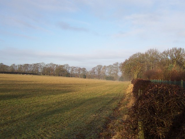
Bardner Wood, located in the county of Yorkshire, is a captivating woodland area renowned for its natural beauty and rich biodiversity. Spanning over a vast expanse, this forest is a popular destination for nature enthusiasts and hikers alike.
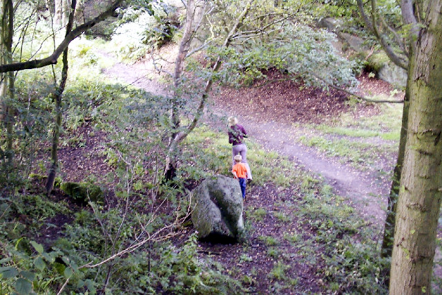
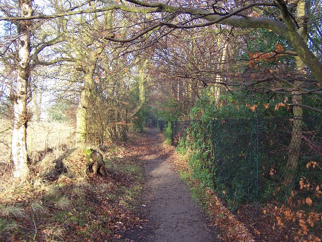
The wood is characterized by its dense foliage, consisting primarily of oak, beech, and birch trees, which create a picturesque canopy overhead. The forest floor is adorned with a vibrant tapestry of wildflowers, ferns, and mosses, enhancing its enchanting appeal. Bardner Wood is also home to a diverse array of wildlife, including deer, foxes, badgers, and a variety of bird species, making it an ideal spot for birdwatching and animal spotting.
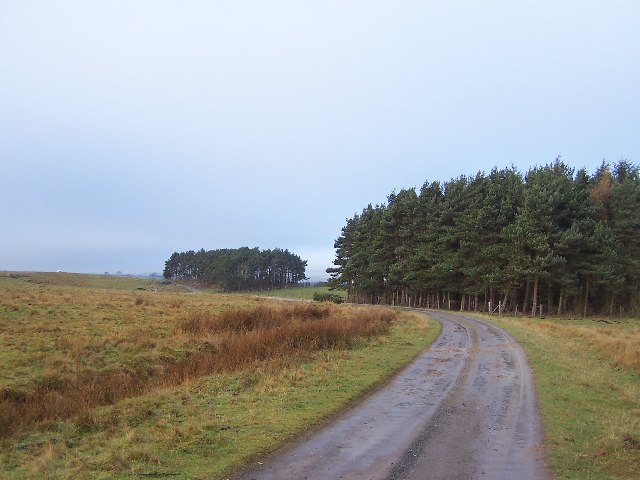
Tranquil walking trails wind through the woodland, allowing visitors to immerse themselves in the peaceful ambiance and explore the area at their own pace. These paths are well-maintained and offer scenic views of the surrounding countryside, adding to the allure of the wood.
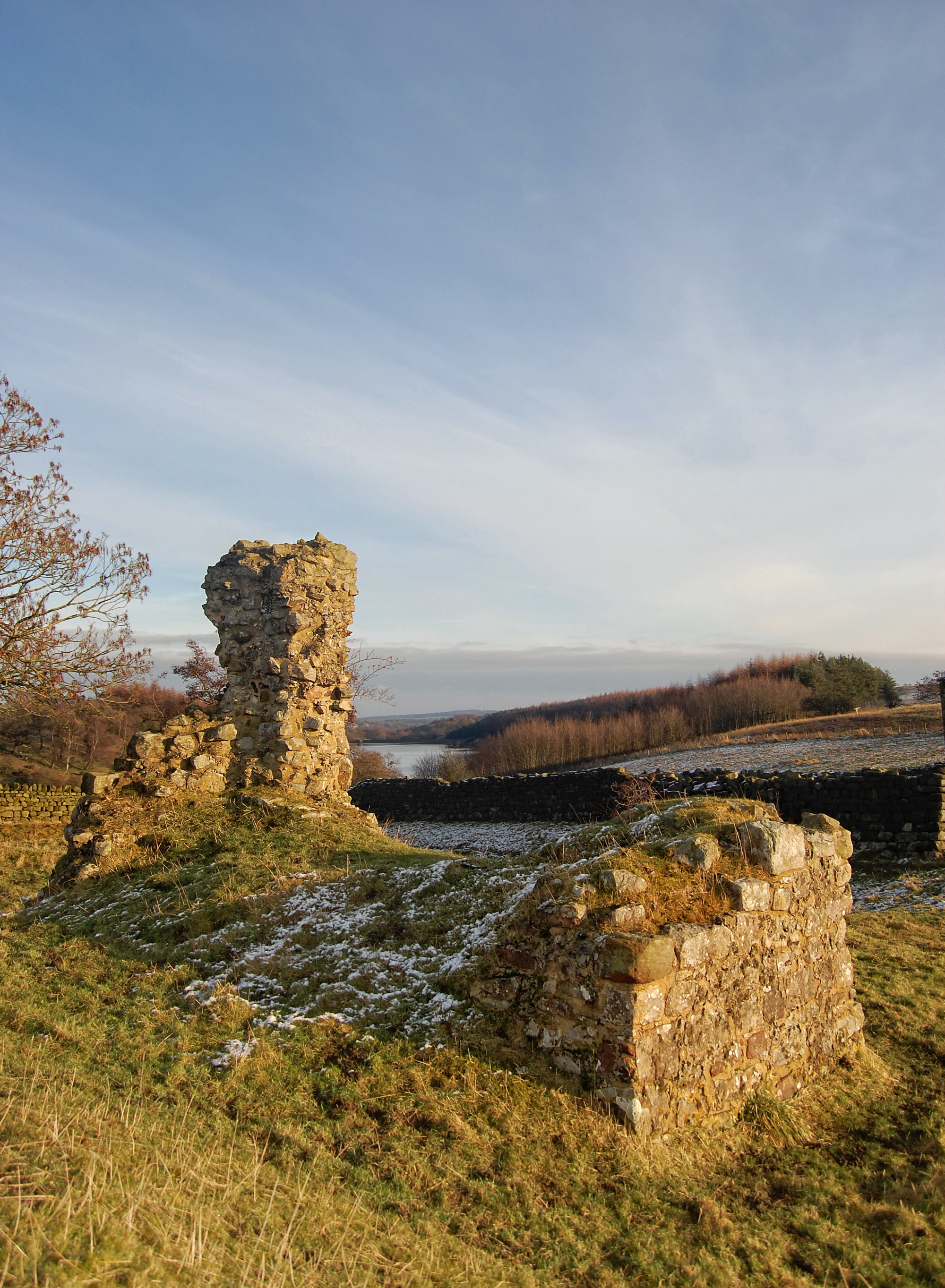
Moreover, Bardner Wood holds historical significance, as it is believed to have been part of an ancient hunting ground dating back centuries. The remnants of old stone walls and other archaeological features can be found within the forest, providing a glimpse into its past.
Visitors to Bardner Wood can also partake in recreational activities such as picnicking, camping, and photography. The forest offers a serene escape from the hustle and bustle of everyday life, providing an opportunity to connect with nature and appreciate the beauty of Yorkshire's landscape.
If you have any feedback on the listing, please let us know in the comments section below.
Bardner Wood Images
Images are sourced within 2km of 53.991005/-1.5962759 or Grid Reference SE2655. Thanks to Geograph Open Source API. All images are credited.

![Harlow Carr These 6 pillars once formed part of the entrance to the 'Royal Promenade and Cheltenham Pump Room' [later known as the Royal Spa Concert Rooms], which was built in 1835 on the corner of Ripon Road and Walker's [now King's] Road in the town centre. Behind the classical Greek style entrance was a saloon a hundred feet long and thirty three feet wide, used for dances and concerts. There was also a pump room for the Cheltenham saline spring - so named because of its similarities to the spa waters of Cheltenham. The pillars did not come from the Royal Hall of 1904, but from the building next door which was demolished some 60 years ago.](https://s1.geograph.org.uk/photos/03/23/032309_4a793fd4.jpg)


Bardner Wood is located at Grid Ref: SE2655 (Lat: 53.991005, Lng: -1.5962759)
Division: West Riding
Administrative County: North Yorkshire
District: Harrogate
Police Authority: North Yorkshire
What 3 Words
///trick.squashes.modes. Near Harrogate, North Yorkshire
Nearby Locations
Related Wikis
Army Foundation College
The Army Foundation College (AFC) in Harrogate, England, is the sole initial military training unit for British Army recruits who enlist aged between 16...
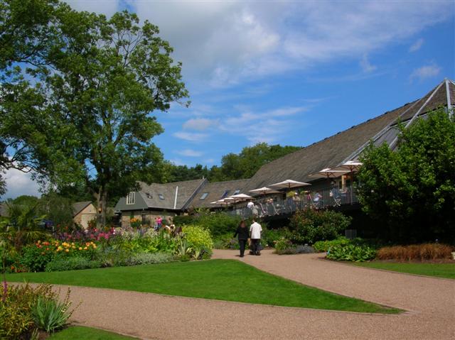
RHS Garden Harlow Carr
RHS Garden Harlow Carr is one of five public gardens run by the Royal Horticultural Society. It is located on the western edge of Harrogate in the English...

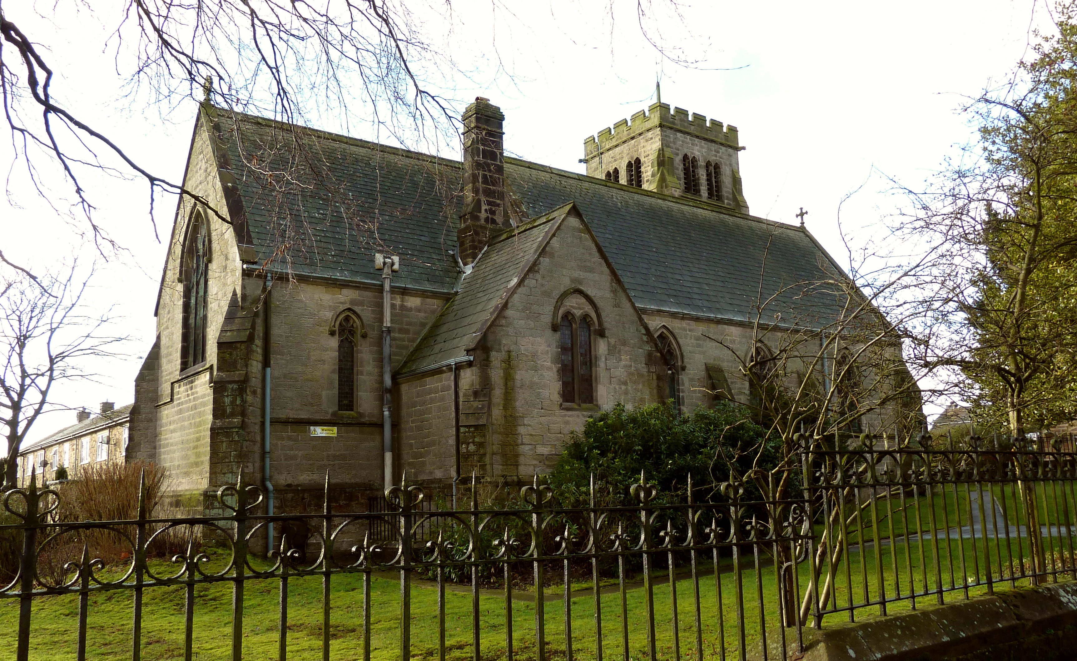
Church of St Michael and All Angels, Beckwithshaw
The Church of St Michael and All Angels, Beckwithshaw, North Yorkshire, England, also known as Beckwithshaw Church, is an Anglican church built and furnished...
Beckwithshaw
Beckwithshaw is a village and civil parish in the Harrogate district of North Yorkshire, England about 2.5 miles (4 km) south-west of Harrogate. ��2�...
Haverah Park
Haverah Park is a civil parish in the Harrogate district of North Yorkshire, England. It is located 3 miles (5 km) west of Harrogate. The parish consists...
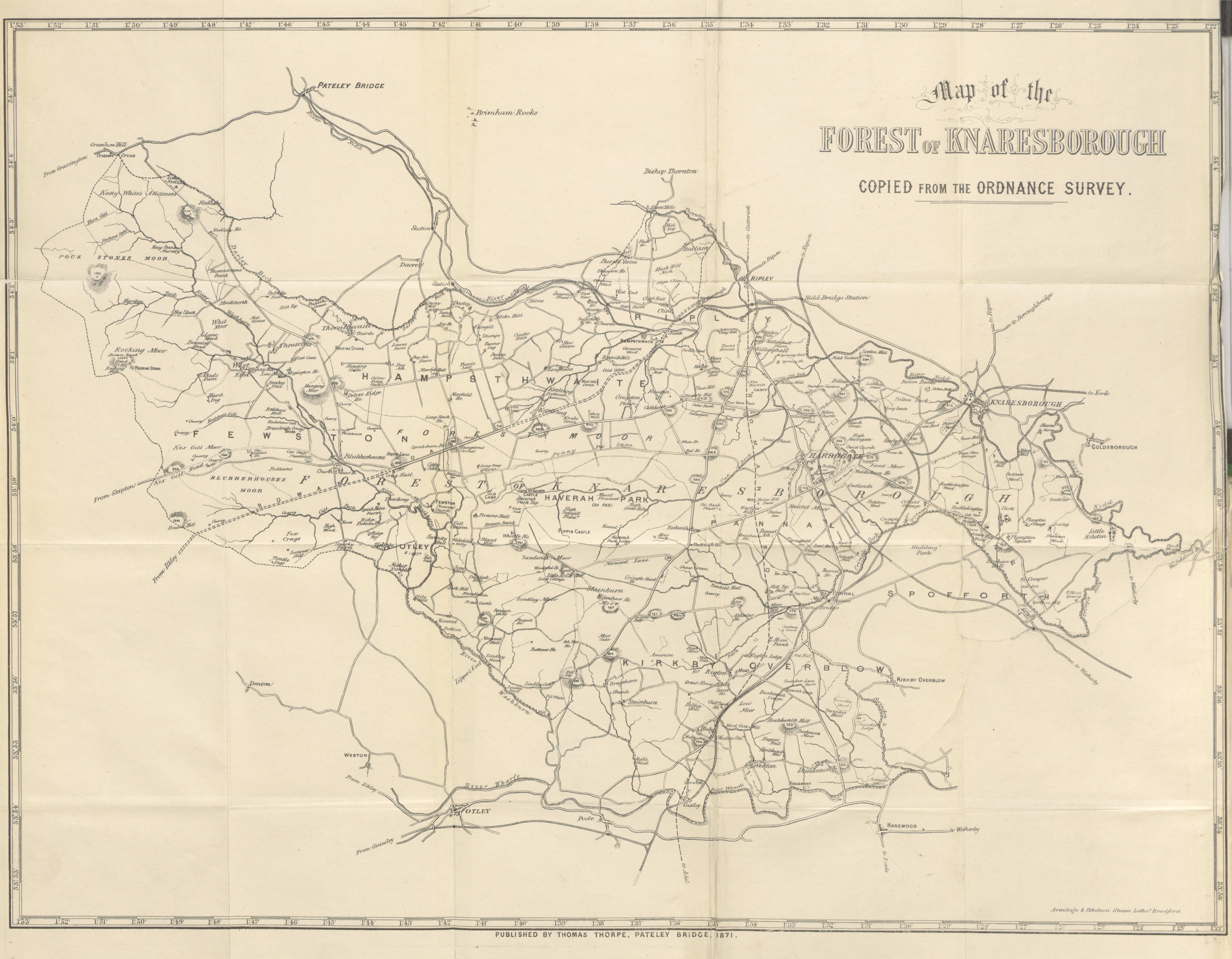
Forest of Knaresborough
The Forest of Knaresborough was a royal hunting forest in Yorkshire, England. It covered an area of some 45 square miles (120 km2) west and south of the...
Church of All Saints, Harlow Hill
The Church of All Saints, Harlow Hill, Harrogate, North Yorkshire, England, is a grade II listed mission church, or chapel of ease, completed in 1871 on...
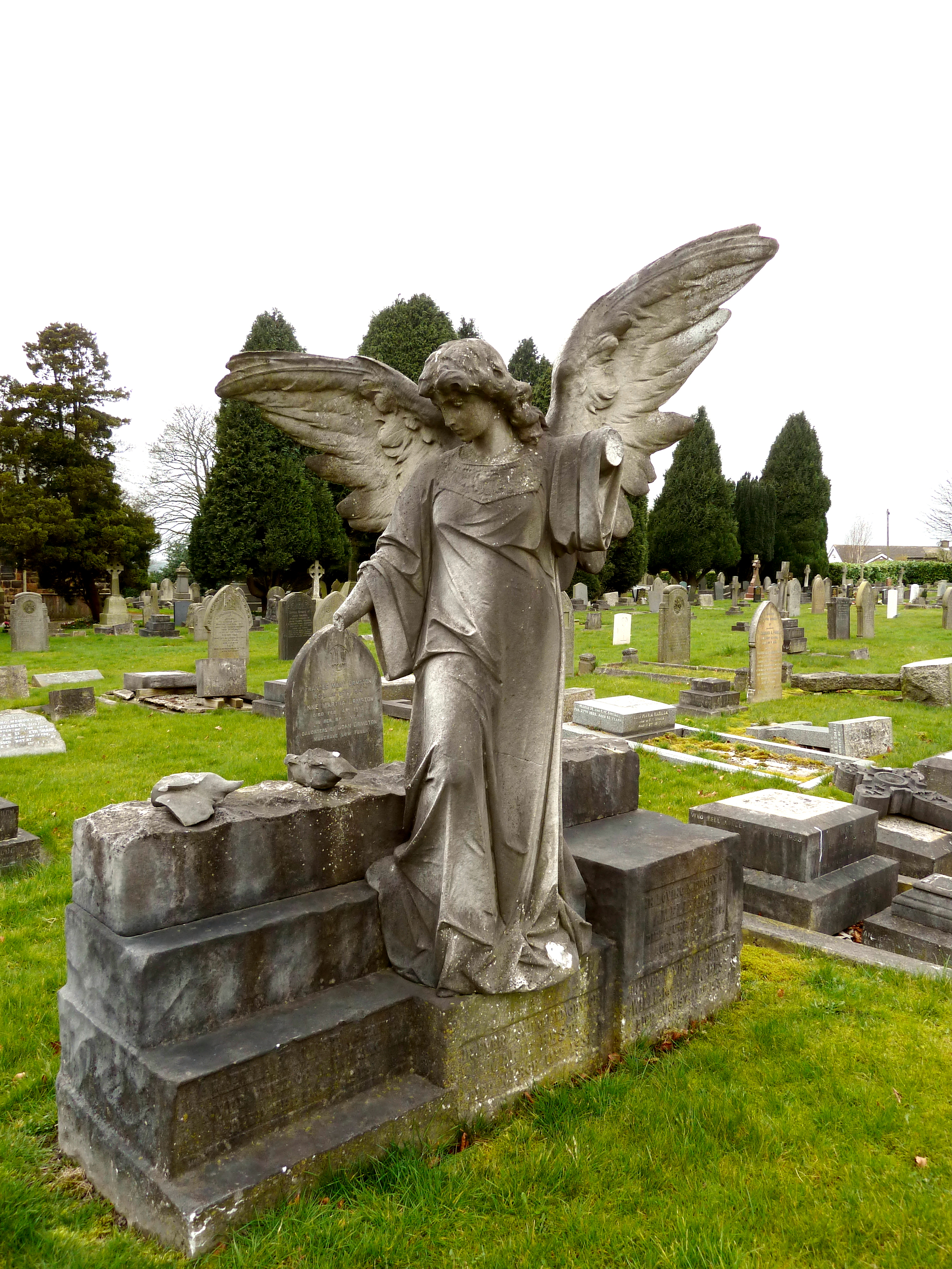
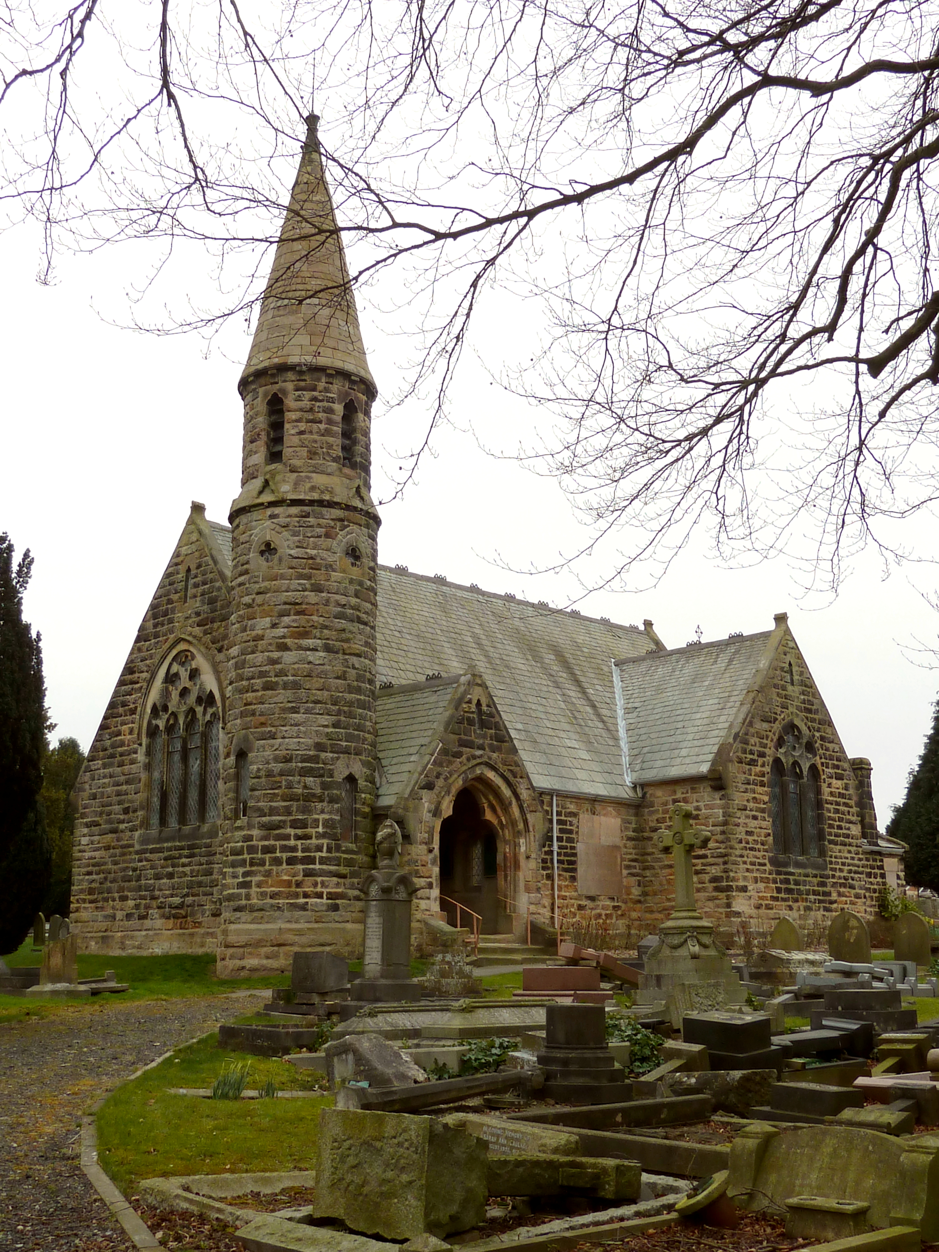
Harlow Hill Cemetery
Harlow Hill Cemetery on Otley Road, Harrogate, North Yorkshire, England, is a local authority cemetery established on land donated by Henry Lascelles,...
Nearby Amenities
Located within 500m of 53.991005,-1.5962759Have you been to Bardner Wood?
Leave your review of Bardner Wood below (or comments, questions and feedback).