Carr Wood

Wood, Forest in Derbyshire Derbyshire Dales

England

Carr Wood

Wrecked car on Wood Lane Probably an old Toyota RAV4 that looks like it's been there for quite a while.
Wrecked car on Wood Lane Credit: Ian Calderwood

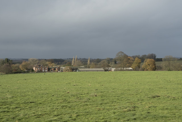
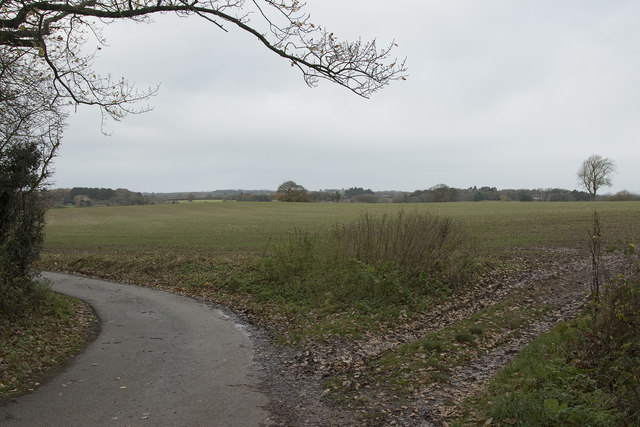
Carr Wood is a picturesque forest located in Derbyshire, England. It covers an area of approximately 100 acres and is known for its stunning natural beauty and diverse wildlife. The wood is situated near the village of Carr Vale, hence its name.

Carr Wood is predominantly made up of broadleaf trees, including oak, birch, and beech, which create a dense canopy overhead. The forest floor is covered with a lush carpet of mosses, ferns, and wildflowers, adding to its enchanting atmosphere. The wood is especially popular during the spring and summer months when the foliage is in full bloom and the air is filled with the sweet scent of flowers.

The forest is a haven for wildlife, providing shelter and sustenance for a wide variety of species. Visitors to Carr Wood may encounter deer, foxes, badgers, and numerous bird species such as woodpeckers, thrushes, and owls. The wood is also home to several rare and protected species, including the great crested newt and the white-letter hairstreak butterfly.

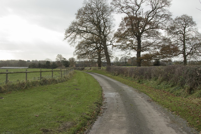
There are several well-maintained walking trails throughout Carr Wood, allowing visitors to explore its natural wonders at their own pace. These trails range in difficulty, catering to both casual walkers and more experienced hikers. Along the way, informative signage provides interesting facts about the wood's flora and fauna, enhancing the educational experience.

Carr Wood is a true gem of Derbyshire, offering a tranquil escape from the hustle and bustle of everyday life. Whether you are a nature enthusiast, a keen photographer, or simply seeking solace in the great outdoors, this forest is sure to captivate your senses and leave a lasting impression.

If you have any feedback on the listing, please let us know in the comments section below.
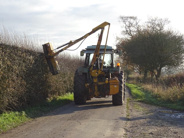
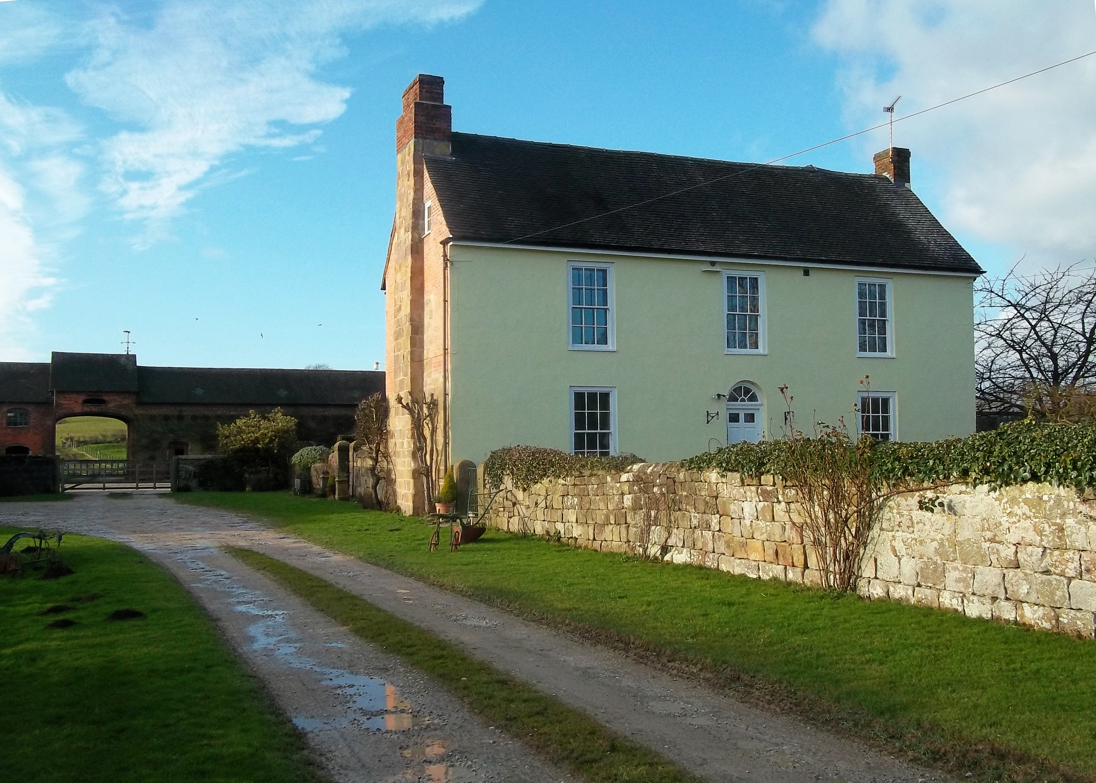
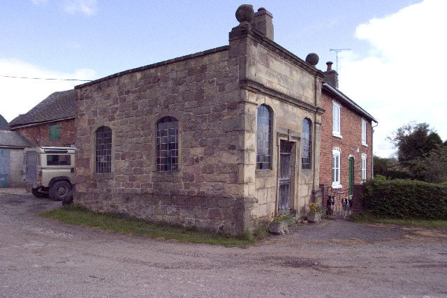
Carr Wood Images

Images are sourced within 2km of 52.961028/-1.6064204 or Grid Reference SK2640. Thanks to Geograph Open Source API. All images are credited.

Wrecked car on Wood Lane Probably an old Toyota RAV4 that looks like it's been there for quite a while.
Wrecked car on Wood Lane
Probably an old Toyota RAV4 that looks like it's been there for quite a while.
Brailsford Methodist Church, Derbyshire
Lots of circular bales The crop has been harvested and all the remaining straw has been baled into the now common large circular bales. There is also a tall phone tower in the image.
Lots of circular bales
The crop has been harvested and all the remaining straw has been baled into the now common large circular bales. There is also a tall phone tower in the image.
Off Wildpark Lane A crop in the field is growing strongly, though what it is I cannot tell.
Off Wildpark Lane
A crop in the field is growing strongly, though what it is I cannot tell.
Looking along the edge of a copse The long and narrow copse runs along the edge of this field.
Looking along the edge of a copse
The long and narrow copse runs along the edge of this field.
A storm is threatened The morning about an hour before was bright and sunny but very windy. The wind brought in these very dark and threatening clouds over the fields at Pools Head.
A storm is threatened
The morning about an hour before was bright and sunny but very windy. The wind brought in these very dark and threatening clouds over the fields at Pools Head.
Farm track The farm track leads to Churchfields Farm near Brailsford.
Farm track
The farm track leads to Churchfields Farm near Brailsford.
Near Brailsford Green Brailsford Green just outside the small village of Brailsford.
Near Brailsford Green
Brailsford Green just outside the small village of Brailsford.
The Plain Brailsford A small group of houses on a road simply called the Plain. It is in Brailsford and will soon be in the village even more as there is a proposal to build a lot more houses.
The Plain Brailsford
A small group of houses on a road simply called the Plain. It is in Brailsford and will soon be in the village even more as there is a proposal to build a lot more houses.
Grazing sheep A truly rural scene with sheep grazing on what I think, for them, is rather long and lush grass.
Grazing sheep
A truly rural scene with sheep grazing on what I think, for them, is rather long and lush grass.
Wildpark Lane Looking along Wildpark Lane with the hedges just starting to get green.
Wildpark Lane
Looking along Wildpark Lane with the hedges just starting to get green.
Looking at Lower Wildpark Farm These fields look as though they have winter sown crops in them.
Looking at Lower Wildpark Farm
These fields look as though they have winter sown crops in them.
Wildpark Lane Looking along Wildpark Lane.
Wildpark Lane
Looking along Wildpark Lane.
Wild Park Activities On Wild Park farm, which is itself on Wild Park Lane is Wild Park Activity Centre. It caters for quad bike trails, paint ball shooting, archery and a variety of other activities.  I assume there is still some farming done as well.
Wild Park Activities
On Wild Park farm, which is itself on Wild Park Lane is Wild Park Activity Centre. It caters for quad bike trails, paint ball shooting, archery and a variety of other activities. I assume there is still some farming done as well.
Lay-by on the A52
Lay-by on the A52
Footpath signpost and gatepost off Flagshaw Lane The gate at the other end of the path, shown in <a href="https://www.geograph.org.uk/photo/3581408">SK2840 : Footpath viewed from Wildpark Lane</a>, is in the background.
Footpath signpost and gatepost off Flagshaw Lane
The gate at the other end of the path, shown in SK2840 : Footpath viewed from Wildpark Lane, is in the background.
Hedge cutting on Slade Lane
Brailsford Village Brailsford village lies on the very busy A52 trunk road between Derby and Ashbourne.
Brailsford Village
Brailsford village lies on the very busy A52 trunk road between Derby and Ashbourne.
Show me another place!

Carr Wood is located at Grid Ref: SK2640 (Lat: 52.961028, Lng: -1.6064204)

Administrative County: Derbyshire

District: Derbyshire Dales

Police Authority: Derbyshire

What 3 Words

///tuned.herds.moderated. Near Duffield, Derbyshire

Related Wikis

Brailsford

Brailsford (52°58′16″N 1°37′26″W) is a small red-brick village and civil parish in Derbyshire on the A52 midway between Derby and Ashbourne. The parish...

Mercaston Hall

Mercaston Hall is a 16th-century timber framed farmhouse within the hamlet of Mercaston, near the market town of Ashbourne, Derbyshire, England. It is...

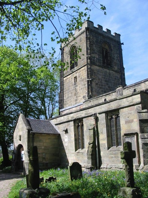
All Saints' Church, Brailsford

All Saints’ Church, Brailsford is a Grade I listed parish church in the Church of England in Brailsford, Derbyshire. == History == The church dates from...

St Michael's Church, Kirk Langley

St Michael's Church, Kirk Langley is a Grade I listed parish church in the Church of England in Kirk Langley, Derbyshire. == History == The church dates...

Mercaston

Mercaston is a hamlet in Derbyshire, England. It is located in the Peak District 7 miles west of Duffield. It is in the civil parish of Hulland Ward. In...

Christ Church, Long Lane

Christ Church, Long Lane is a Grade II listed parish church in the Church of England in Long Lane, Derbyshire. == History == The church dates from 1859...

Kirk Langley

Kirk Langley is a village and civil parish in Derbyshire. The village is 4 miles (6.4 km) northwest of Derby and 2 miles (3.2 km) south east of Brailsford...

All Saints' Church, Mugginton

All Saints’ Church, Mugginton is a Grade I listed parish church in the Church of England in Weston Underwood, Derbyshire. == History == The church dates...

Nearby Amenities

Located within 500m of 52.961028,-1.6064204
Post Box
Operator: Royal Mail
Post Box Type: lamp
Ref: DE6 659
Lat/Long: 52.9617123/-1.6004751
Parking
Fee: no
Note: A layby
Parking: surface
Source: survey
Lat/Long: 52.9645451/-1.6040911
Power: tower
Source: Bing
Lat/Long: 52.9599437/-1.599746
Power: tower
Source: Bing
Lat/Long: 52.9625673/-1.6005348
Parking
Description: Patch of gravel at side of road
Ele: 123.0000000
Lat/Long: 52.961835/-1.6005882
Bus Stop
Wild Park Lane
Bench: no
Bin: no
Public Transport: platform
Shelter: no
Lat/Long: 52.9611989/-1.5998317
Bus Stop
Wild Park Lane
Bench: no
Bin: no
Public Transport: platform
Shelter: no
Lat/Long: 52.9610802/-1.599365
The data included in this document is from www.openstreetmap.org. The data is made available under ODbL.

Have you been to Carr Wood?

Leave your review of Carr Wood below (or comments, questions and feedback).