Buryhill Copse
Wood, Forest in Berkshire Vale of White Horse
England
Buryhill Copse

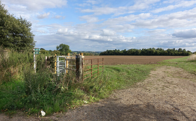
Buryhill Copse is a picturesque woodland located in Berkshire, England. Covering an area of approximately 20 acres, it is nestled in the heart of the Berkshire countryside and is a popular destination for nature enthusiasts and outdoor enthusiasts alike.
The copse is characterized by its dense and diverse vegetation, consisting mainly of deciduous trees such as oak, beech, and ash. These towering trees provide a dense canopy, creating a cool and shady environment, particularly during the summer months.
The forest floor is carpeted with a variety of wildflowers and ferns, adding bursts of color to the woodland landscape. The copse is also home to a rich array of wildlife, including deer, squirrels, and a wide variety of bird species. Nature lovers can often spot woodpeckers, thrushes, and owls, among others.
Buryhill Copse offers a network of well-maintained footpaths and trails, allowing visitors to explore the woodland at their own pace. These paths wind through the trees, offering glimpses of tranquil glades and babbling brooks along the way. There are also a number of benches strategically placed throughout the copse, providing the perfect opportunity to sit and soak in the peaceful surroundings.
In addition to its natural beauty, Buryhill Copse also holds historical significance. It is believed that the woodland has been in existence since at least the 16th century, and remnants of ancient earthworks can still be seen within the copse.
Overall, Buryhill Copse is a serene and enchanting woodland that offers a tranquil escape from the hustle and bustle of everyday life. Whether it's for a leisurely stroll, bird-watching, or simply immersing oneself in nature, this hidden gem of Berkshire is sure to captivate visitors with its beauty and tranquility.
If you have any feedback on the listing, please let us know in the comments section below.
Buryhill Copse Images
Images are sourced within 2km of 51.639957/-1.6193264 or Grid Reference SU2693. Thanks to Geograph Open Source API. All images are credited.


Buryhill Copse is located at Grid Ref: SU2693 (Lat: 51.639957, Lng: -1.6193264)
Administrative County: Oxfordshire
District: Vale of White Horse
Police Authority: Thames Valley
What 3 Words
///selling.petulant.noises. Near Faringdon, Oxfordshire
Nearby Locations
Related Wikis

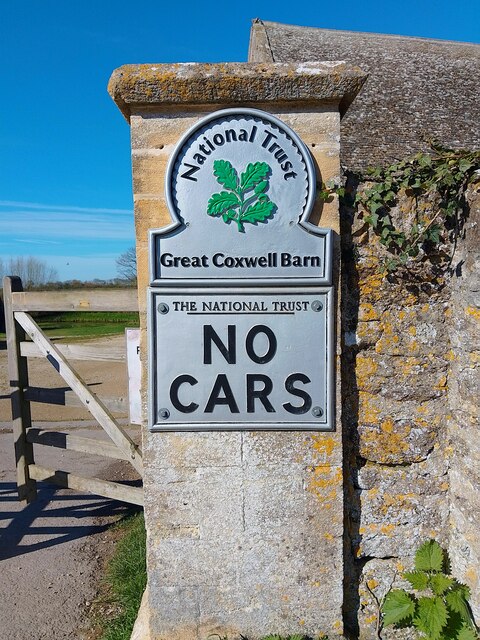
Great Coxwell Barn
Great Coxwell Barn is a Medieval tithe barn at Great Coxwell, Oxfordshire (formerly Berkshire), England. It is on the northern edge of the village of Great...

Great Coxwell
Great Coxwell is a village and civil parish 2 miles (3 km) southwest of Faringdon in the Vale of White Horse, England. It was in Berkshire until the 1974...

Badbury Hill
Badbury Hill is a hill in the civil parish of Great Coxwell near Faringdon in the English county of Oxfordshire. In 1974 it was transferred from Berkshire...

Little Coxwell
Little Coxwell is a village and civil parish in South East England, about 1.5 miles (2.4 km) south of Faringdon and 0.8 miles (1.3 km) east of Great Coxwell...

Faringdon Community College
Faringdon Community College is an 11 to 18 mixed comprehensive school on the edge of Faringdon, a market town in Oxfordshire, England. The college has...
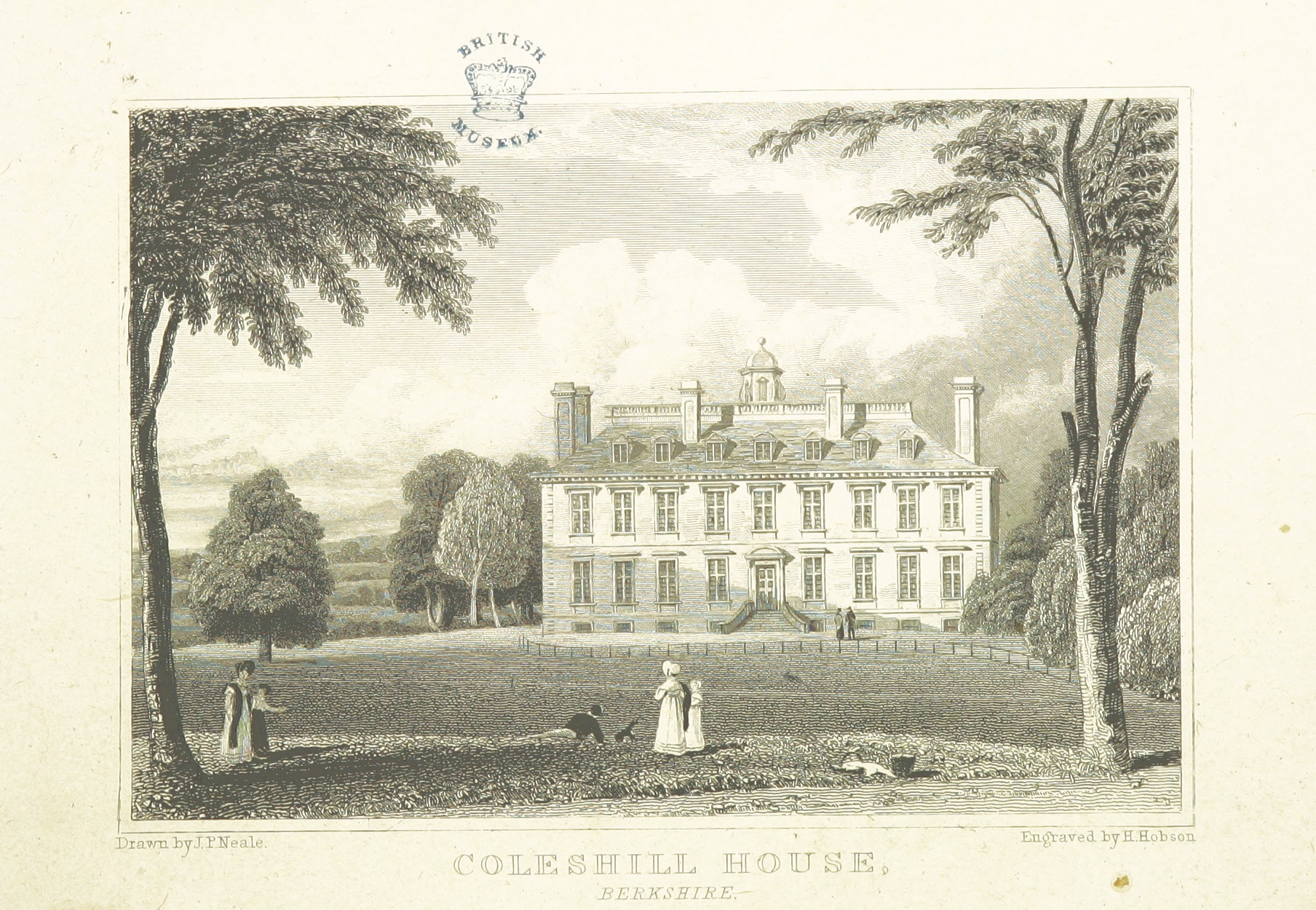
Coleshill House
Coleshill House was a country house in England, near the village of Coleshill, in the Vale of White Horse. Historically, the house was in Berkshire but...

Faringdon railway station
Faringdon railway station is a closed stone and brick built railway station that served the market town of Faringdon, in Oxfordshire, England and was on...
Longcot
Longcot is a village and civil parish in the Vale of White Horse District. It was part of Berkshire until the 1974 boundary changes transferred it to Oxfordshire...
Have you been to Buryhill Copse?
Leave your review of Buryhill Copse below (or comments, questions and feedback).