Bruern Wood
Wood, Forest in Oxfordshire West Oxfordshire
England
Bruern Wood

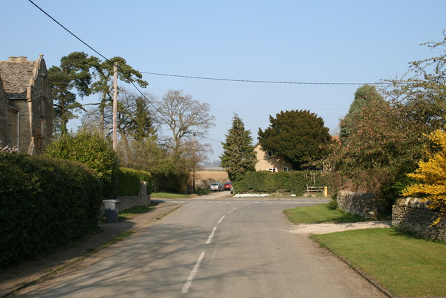
Bruern Wood is a picturesque woodland area located in Oxfordshire, England. Covering an area of approximately 60 hectares, it is known for its stunning natural beauty and diverse wildlife. The wood is situated near the village of Bruern, just a few miles away from the historic city of Oxford.
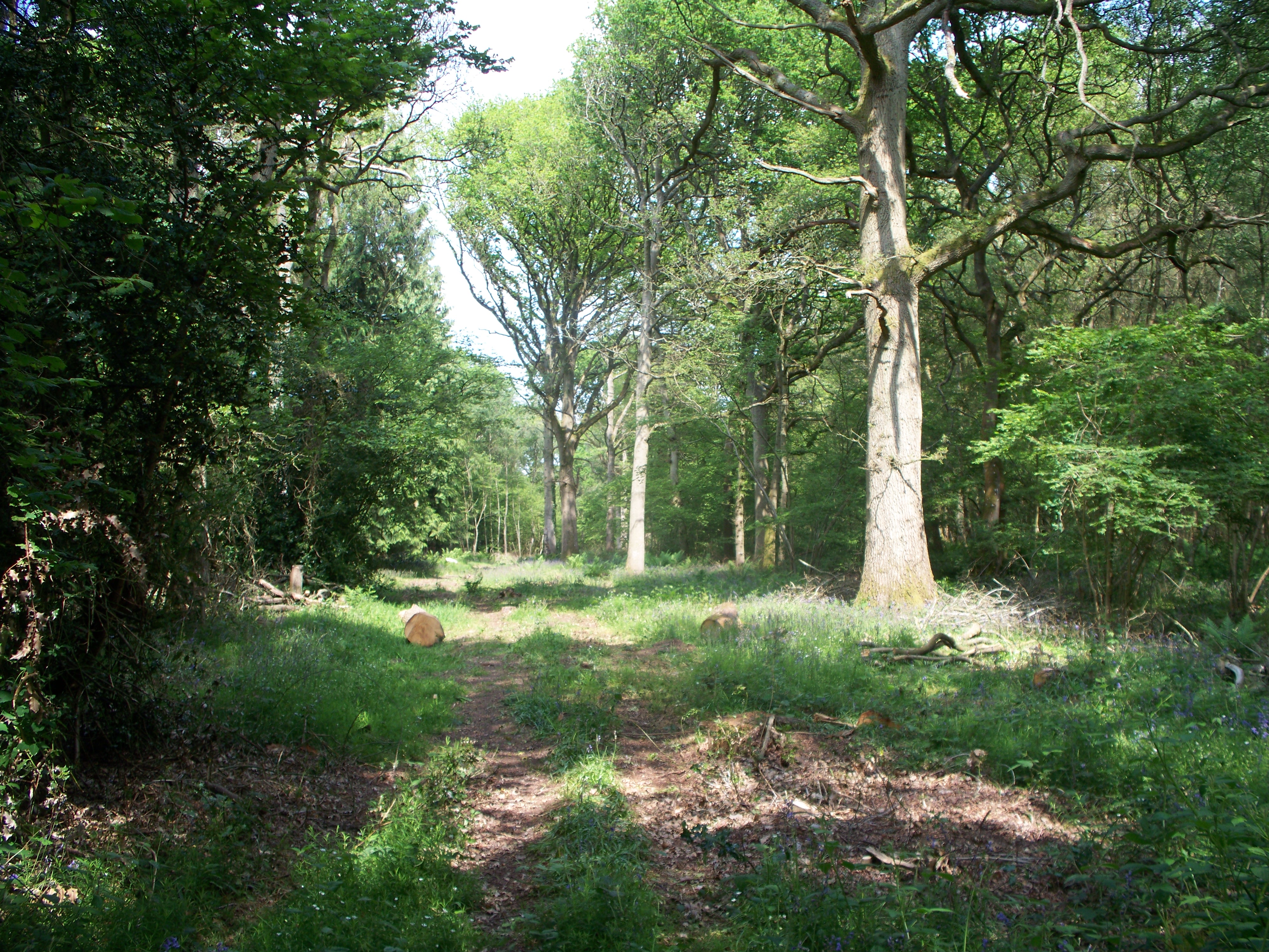
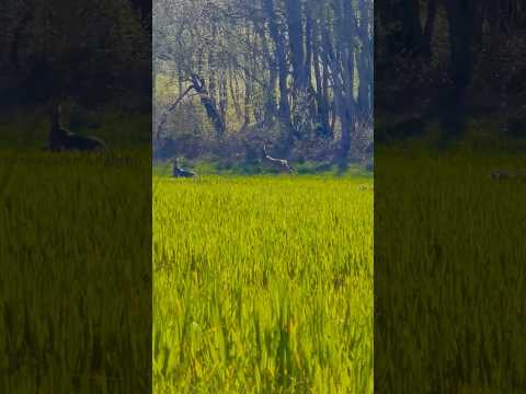
The wood is characterized by its dense canopy of mature trees, including oak, beech, and birch. These trees provide a haven for numerous species of birds, such as woodpeckers, owls, and warblers. The woodland floor is adorned with a rich carpet of bluebells, wildflowers, and ferns, creating a magical atmosphere during the spring and summer months.
Bruern Wood is a popular destination for nature enthusiasts and walkers who can explore the numerous footpaths and trails that wind through the forest. The wood also offers a tranquil setting for picnics and relaxation, attracting visitors seeking solitude and tranquility.
In addition to its natural beauty, Bruern Wood has a rich history. It is believed to have been part of the ancient royal hunting ground of the Wychwood Forest, dating back to medieval times. The wood has witnessed many historical events and provides a link to the past.
Overall, Bruern Wood offers a serene escape from the hustle and bustle of everyday life. Its breathtaking scenery, diverse wildlife, and historical significance make it a must-visit destination for nature lovers and history enthusiasts alike.
If you have any feedback on the listing, please let us know in the comments section below.
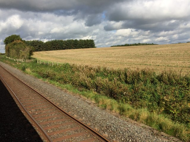
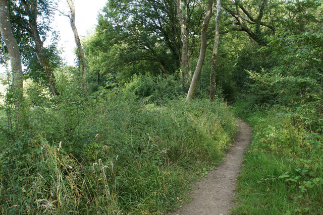
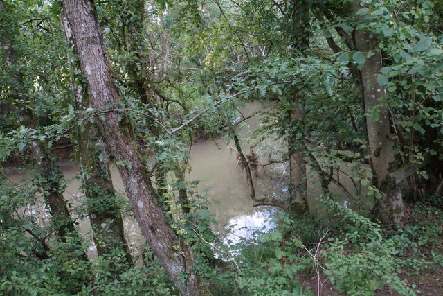
Bruern Wood Images
Images are sourced within 2km of 51.876408/-1.6175813 or Grid Reference SP2619. Thanks to Geograph Open Source API. All images are credited.


Bruern Wood is located at Grid Ref: SP2619 (Lat: 51.876408, Lng: -1.6175813)
Administrative County: Oxfordshire
District: West Oxfordshire
Police Authority: Thames Valley
What 3 Words
///caused.dinner.bubble. Near Shipton under Wychwood, Oxfordshire
Nearby Locations
Related Wikis
Bould Wood
Bould Wood is a 58.2-hectare (144-acre) biological Site of Special Scientific Interest north of Shipton-under-Wychwood in Oxfordshire. An area of 23...

Bruern
Bruern or Bruern Abbey is a hamlet and civil parish on the River Evenlode about 6 miles (10 km) north of Burford in West Oxfordshire. The 2001 Census recorded...
Lyneham, Oxfordshire
Lyneham is a village and civil parish about 5 miles (8 km) southwest of Chipping Norton, Oxfordshire. It is bounded to the southwest by the River Evenlode...

Shipton railway station
Shipton railway station serves the villages of Shipton-under-Wychwood and Milton-under-Wychwood in Oxfordshire, England. The station and all trains serving...

Bould
Bould is a hamlet in Idbury civil parish, Oxfordshire, about 4.5 miles (7.2 km) southeast of Stow-on-the-Wold in neighbouring Gloucestershire. == External... ==

Shipton-under-Wychwood
Shipton-under-Wychwood is a village and civil parish in the Evenlode valley about 4 miles (6.4 km) north of Burford, in the West Oxfordshire district,...

Foscot, Oxfordshire
Foscot is a hamlet in the Cotswolds in the Evenlode valley. It falls within Idbury civil parish, in the West Oxfordshire District, about 5 miles (8.0 km...

Fifield, Oxfordshire
Fifield is a village and civil parish about 4 miles (6.4 km) north of Burford in Oxfordshire. The western boundary of the parish forms part of the county...
Related Videos


Shipton Under Wychwood | Relaxing Morning Walk - English Countryside
Shipton-under-Wychwood is a delightful Cotswold village. The town's name refers to the fact that it used to be 'under' the boughs ...

Enchanting Autumn Stroll in Shipton-under-Wychwood: Rainy Day Bliss in the COTSWOLDS, ENGLAND
A wet and rainy autumn walk in Shipton-under-Wychwood. A picturesque village located in Oxfordshire, near the Area of ...
Nearby Amenities
Located within 500m of 51.876408,-1.6175813Have you been to Bruern Wood?
Leave your review of Bruern Wood below (or comments, questions and feedback).