Dog Kennel Plantation
Wood, Forest in Yorkshire Hambleton
England
Dog Kennel Plantation
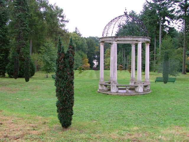
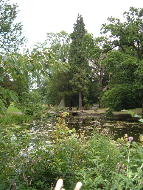
The Dog Kennel Plantation, located in Yorkshire, England, is a sprawling woodland area known for its dense forests and captivating natural beauty. Covering a vast expanse of land, this plantation is a haven for outdoor enthusiasts and nature lovers alike.
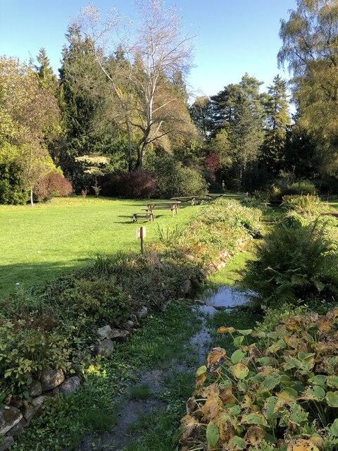
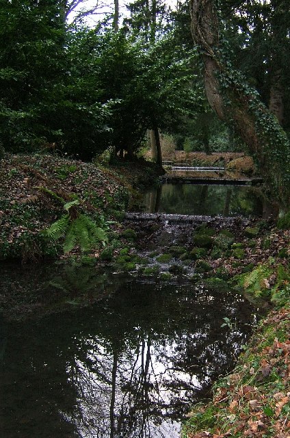
The plantation primarily consists of woodlands, with a variety of trees including oak, birch, and pine creating a diverse and picturesque landscape. The dense foliage provides a habitat for a wide range of wildlife, including deer, rabbits, and various bird species.
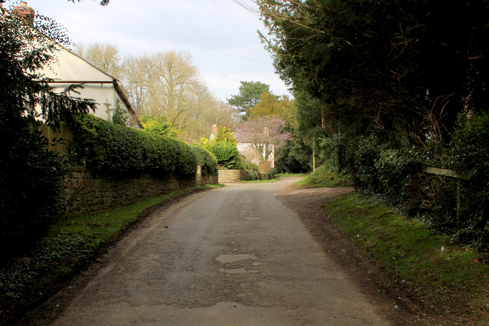
Visitors to the Dog Kennel Plantation can explore its numerous walking trails, offering an opportunity to immerse themselves in the tranquility of nature. The well-maintained paths wind through the forest, allowing visitors to witness the beauty of the woodland up close.
Additionally, the plantation provides a dedicated area for dogs, making it a popular destination for dog owners. This designated space allows dogs to roam freely and enjoy the vast open surroundings.
The Dog Kennel Plantation is not just a place for leisurely walks and dog-friendly activities, but it also serves as an important conservation area. The woodland is managed carefully to maintain its ecological balance and preserve its natural heritage.
Overall, the Dog Kennel Plantation in Yorkshire offers a unique opportunity to experience the charm of nature, providing a serene and enchanting escape from the hustle and bustle of everyday life.
If you have any feedback on the listing, please let us know in the comments section below.
Dog Kennel Plantation Images
Images are sourced within 2km of 54.266931/-1.5963037 or Grid Reference SE2685. Thanks to Geograph Open Source API. All images are credited.


Dog Kennel Plantation is located at Grid Ref: SE2685 (Lat: 54.266931, Lng: -1.5963037)
Division: North Riding
Administrative County: North Yorkshire
District: Hambleton
Police Authority: North Yorkshire
What 3 Words
///watching.observers.locator. Near Bedale, North Yorkshire
Related Wikis
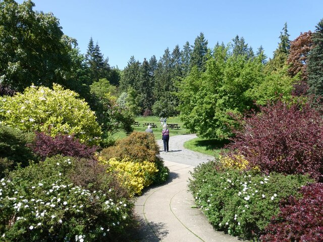
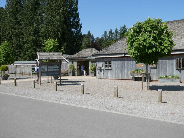
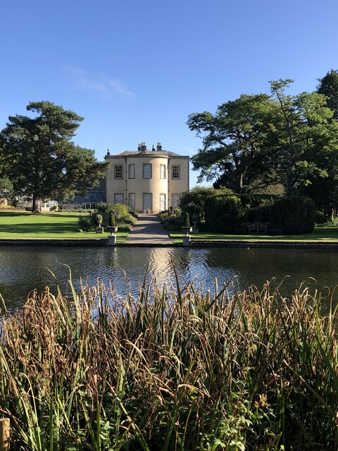
Thorp Perrow Arboretum
Thorp Perrow Arboretum is an 85-acre (34 ha) woodland garden arboretum near Bedale in North Yorkshire, England. == History == Thorp is a common place-name...
Firby, Hambleton
Firby is a small village and civil parish in North Yorkshire, England. It lies 1-mile (1.5 km) south of Bedale. The population of the parish was estimated...
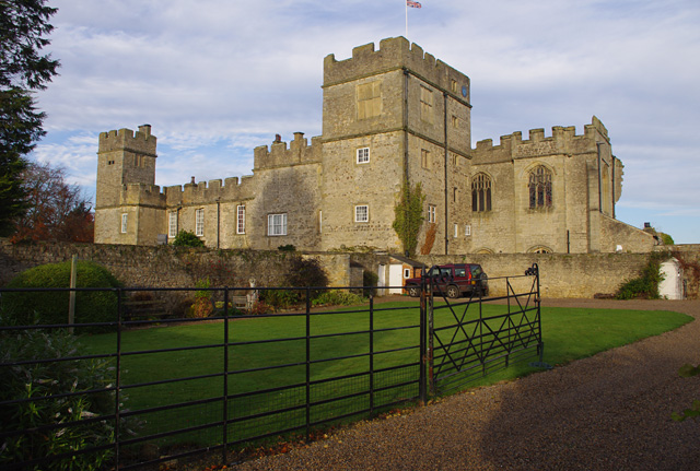
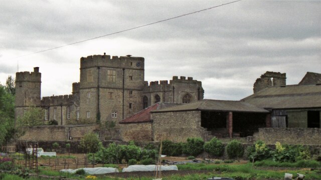
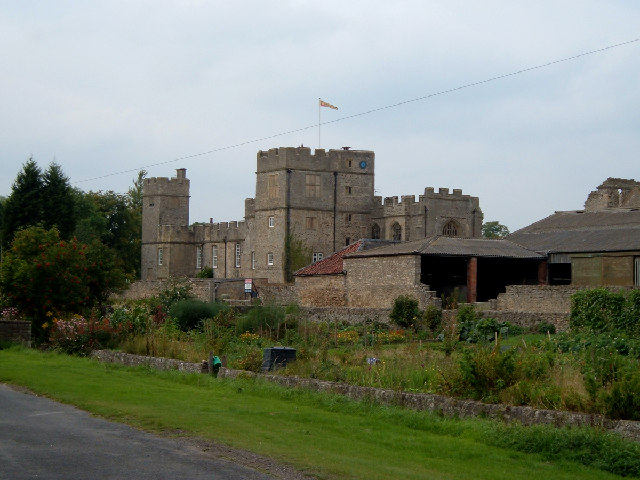
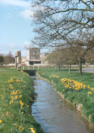
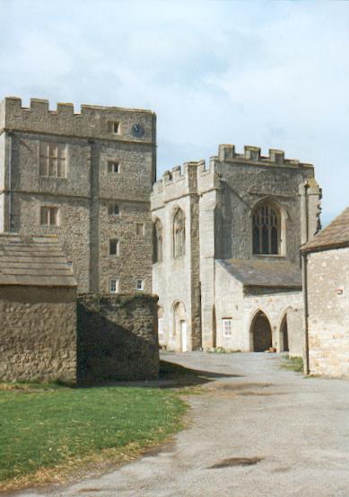
Snape Castle
Snape Castle is a semi-fortified manor house in the village of Snape, North Yorkshire, England. The castle is 3 miles (5 km) south of Bedale and 19 miles...

Snape with Thorp
Snape with Thorp is a civil parish in the Hambleton District of North Yorkshire, England. It comprises the village of Snape and the hamlet of Thorp. The...

Snape, North Yorkshire
Snape is a large village in the civil parish of Snape with Thorp in North Yorkshire, England, located about 3 miles (5 km) south of Bedale and 3 miles...

Bedale High School
Bedale High School is a coeducational, community school situated on Fitzalan Road, Bedale, North Yorkshire, England. The School's 2004 Ofsted Inspection...

Bedale
Bedale ( BEE-dayl), is a market town and civil parish in North Yorkshire, England. Historically part of the North Riding of Yorkshire, it is 34 miles...

Bedale Leech House
This late Georgian Bedale Leech House in Bedale, North Yorkshire, England, is a unique example of a building constructed to keep live medicinal leeches...
Nearby Amenities
Located within 500m of 54.266931,-1.5963037Have you been to Dog Kennel Plantation?
Leave your review of Dog Kennel Plantation below (or comments, questions and feedback).