Hollin Wood

Wood, Forest in Yorkshire Harrogate

England

Hollin Wood

Dry valley near Sunley Raynes Dry valley in the gentle hill country to the west of Ripon. Is the valley dry because the underlying rock is permian limestone, or is it an abandoned glacial overflow channel, of which there are several in this area?
Dry valley near Sunley Raynes Credit: Gordon Hatton

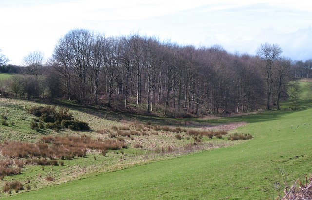
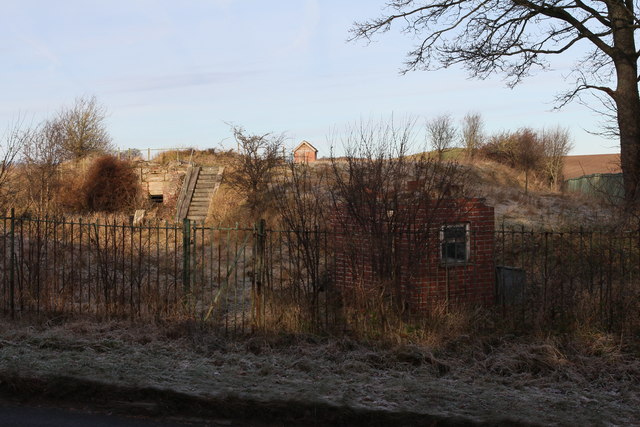
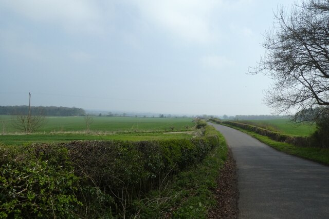
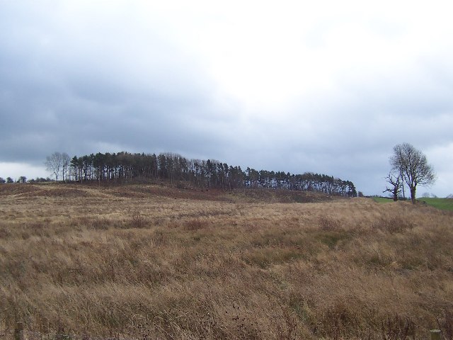
Hollin Wood is a picturesque forest situated in the county of Yorkshire, England. Spread across a vast area, this woodland is nestled amidst the rolling hills and lush greenery that characterizes the region. The name "Hollin" is derived from the Old English word for holly, which is abundant in this area.

The wood boasts a rich and diverse ecosystem, with a variety of flora and fauna that call it home. Towering oak and beech trees dominate the landscape, their branches intertwining to create a dense canopy that filters sunlight and creates a serene atmosphere below. The forest floor is carpeted with a vibrant tapestry of wildflowers, ferns, and mosses, adding to the natural beauty of the woodland.

Hollin Wood is a haven for wildlife enthusiasts and nature lovers. It provides a habitat for a wide range of animals, including deer, foxes, badgers, and numerous bird species. Birdwatchers can spot woodpeckers, owls, and various songbirds amidst the trees. The forest's tranquil ambiance also attracts photographers and artists, who are drawn to its ethereal charm and timeless appeal.

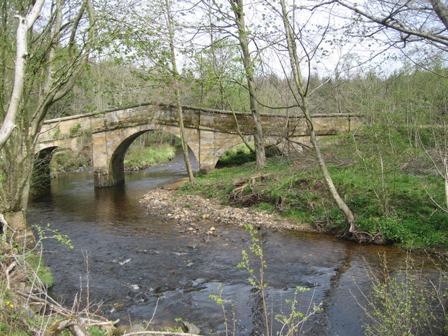
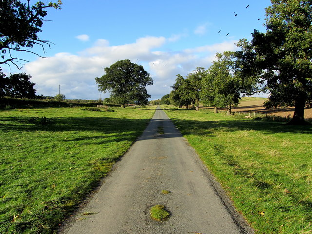
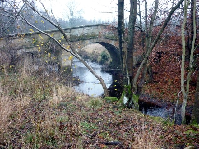
For visitors, the wood offers a plethora of recreational activities. There are well-maintained walking trails that meander through the forest, providing an opportunity to explore its hidden gems. These trails are suitable for all levels of fitness and offer breathtaking views of the surrounding countryside. Additionally, the forest has designated picnic areas where families and friends can enjoy a leisurely meal amid nature's splendor.

Hollin Wood, with its enchanting beauty and abundant wildlife, is a true gem of Yorkshire, offering a serene and memorable experience for anyone seeking solace in nature's embrace.

If you have any feedback on the listing, please let us know in the comments section below.

Hollin Wood Images

Images are sourced within 2km of 54.129958/-1.5977121 or Grid Reference SE2670. Thanks to Geograph Open Source API. All images are credited.

Dry valley near Sunley Raynes Dry valley in the gentle hill country to the west of Ripon. Is the valley dry because the underlying rock is permian limestone, or is it an abandoned glacial overflow channel, of which there are several in this area?
Dry valley near Sunley Raynes
Dry valley in the gentle hill country to the west of Ripon. Is the valley dry because the underlying rock is permian limestone, or is it an abandoned glacial overflow channel, of which there are several in this area?
Woodhouse Bridge This old stone bridge is a route over the river Laver from Fountains to Winksley or Galphay. Entering Galphay woods and in turn leading to Brathwaite Hall and Kirkby Malzeard. Lovely quiet place to have lunch and listen to the birds etc.
Woodhouse Bridge
This old stone bridge is a route over the river Laver from Fountains to Winksley or Galphay. Entering Galphay woods and in turn leading to Brathwaite Hall and Kirkby Malzeard. Lovely quiet place to have lunch and listen to the birds etc.
Old Disused house An old disused house near to Winksley. The house is basically falling down and certainly not in use today.Just off the path from Galphay Woods to Winksley
Old Disused house
An old disused house near to Winksley. The house is basically falling down and certainly not in use today.Just off the path from Galphay Woods to Winksley
Access Lane to Low Lindrick An arrow straight access lane leaves the B6265 and runs north for almost a kilometre to reach Low Lindrick
Access Lane to Low Lindrick
An arrow straight access lane leaves the B6265 and runs north for almost a kilometre to reach Low Lindrick
Galphay Lane On the road between Galphay and Ripon
Galphay Lane
On the road between Galphay and Ripon
Woodhouse Bridge On the route of the Aislabie Walk long distance footpath
Woodhouse Bridge
On the route of the Aislabie Walk long distance footpath
Reservoir at White Fields Old maps refer to this as having belonged to the former "Ripon Corporation Water Works". <a href="https://www.geograph.org.uk/photo/3272518">SE3070 : Old Pipe across the River Skell</a>
Reservoir at White Fields
Old maps refer to this as having belonged to the former "Ripon Corporation Water Works". SE3070 : Old Pipe across the River Skell
Winksley, St Cuthbert and St Oswald church The benchmark is cut into the 2nd course of stone at the rear of the church.
Winksley, St Cuthbert and St Oswald church
The benchmark is cut into the 2nd course of stone at the rear of the church.
Winksley, St Cuthbert and St Oswald There is a benchmark cut into the 2nd course of stone at the rear of the church, on the buttress to the left of the furthest left window.
Winksley, St Cuthbert and St Oswald
There is a benchmark cut into the 2nd course of stone at the rear of the church, on the buttress to the left of the furthest left window.
Fields east of Galphay Looking across fields to the north of the road between Galphay and Ripon.
Fields east of Galphay
Looking across fields to the north of the road between Galphay and Ripon.
Road towards Galphay Mill Bridge Looking along the road between Galphay and Ripon.
Road towards Galphay Mill Bridge
Looking along the road between Galphay and Ripon.
Road near Birkby Wood Cottages Looking along the road between Galphay and Ripon.
Road near Birkby Wood Cottages
Looking along the road between Galphay and Ripon.
Down the road towards Galphay Mill Bridge Looking along the road between Galphay and Ripon.
Down the road towards Galphay Mill Bridge
Looking along the road between Galphay and Ripon.
Road near Birkby Wood Cottages Looking along the road between Galphay and Ripon.
Road near Birkby Wood Cottages
Looking along the road between Galphay and Ripon.
Galphay Lane Looking along the road between Galphay and Ripon.
Galphay Lane
Looking along the road between Galphay and Ripon.
Field beside Galphay Lane Looking across farmland between Galphay and Ripon.
Field beside Galphay Lane
Looking across farmland between Galphay and Ripon.
Winksley Church
Winksley Church
Plantation remnants near Winksley The map I was using indicated that this area should have been covered with trees - as can be seen there are not many left. This is about half a mile south of the village of Winksley
Plantation remnants near Winksley
The map I was using indicated that this area should have been covered with trees - as can be seen there are not many left. This is about half a mile south of the village of Winksley
Show me another place!

Hollin Wood is located at Grid Ref: SE2670 (Lat: 54.129958, Lng: -1.5977121)

Division: West Riding

Administrative County: North Yorkshire

District: Harrogate

Police Authority: North Yorkshire

What 3 Words

///musically.path.tweezers. Near Ripon, North Yorkshire

Nearby Locations

Hollin Wood Foster Field

Related Wikis

Aldfield

Aldfield is a village and civil parish in the former Harrogate district of North Yorkshire, England, about three miles west of Ripon. It is the closest...

Winksley

Winksley is a small village and civil parish in the district of Harrogate, North Yorkshire, England. It is situated west of Ripon, and is on the River...

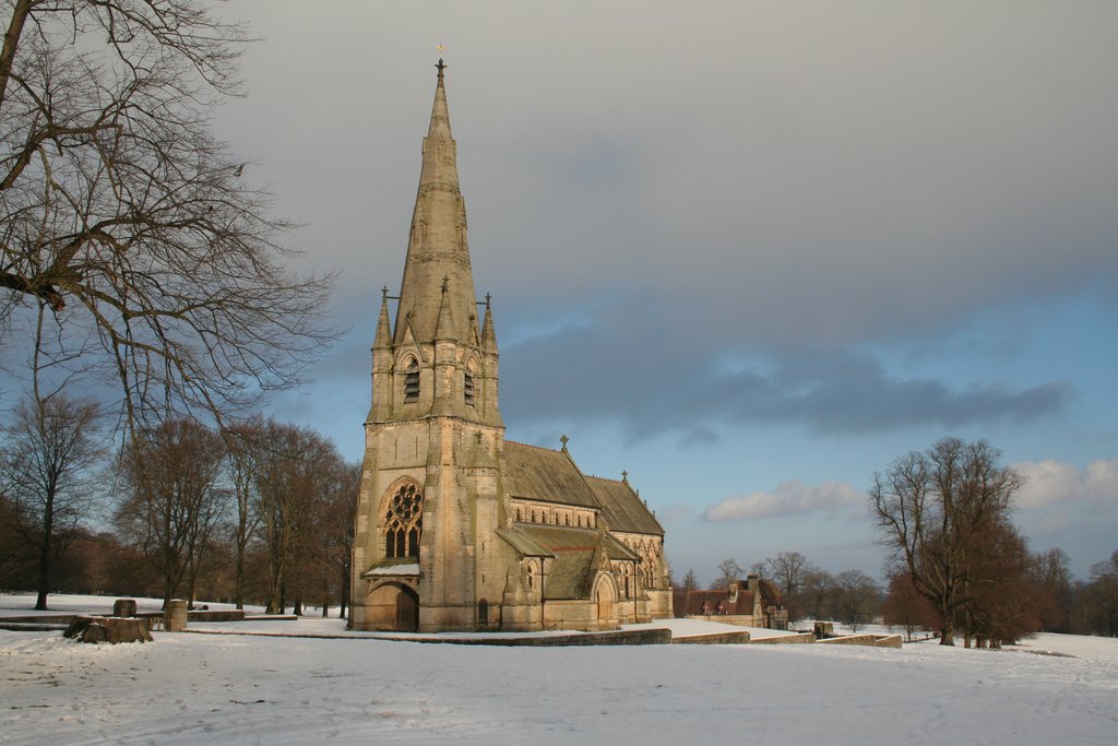
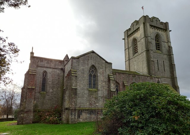
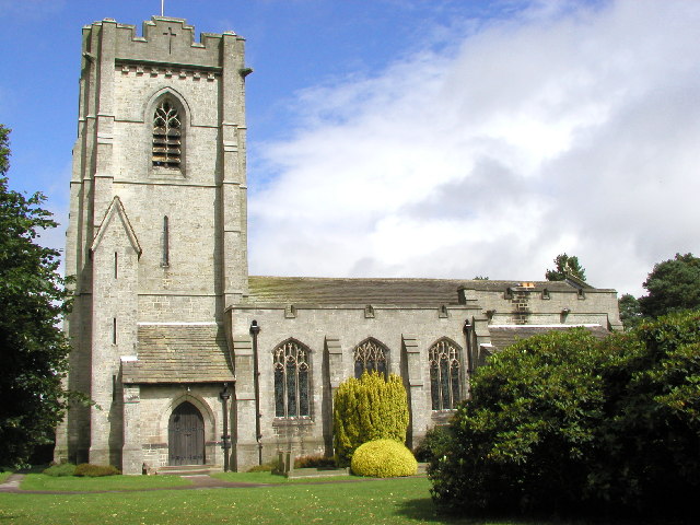
St Mary's, Studley Royal

The Church of St Mary, Studley Royal, is a Victorian Gothic Revival church built in the Early English style by William Burges. It is located in the grounds...

Fountains Hall

Fountains Hall is a country house near Ripon in North Yorkshire, England, located within the World Heritage Site at Studley Royal Park which include the...

Risplith

Risplith is a village in the civil parish of Sawley, in the Harrogate district of North Yorkshire, England. It is about 4 miles (6.4 km) west of Ripon...

Galphay

Galphay (traditionally pronounced [ˈgɔ:fə] GAW-fə) is a village in North Yorkshire, England. It is situated in the Nidderdale Area of Outstanding Natural...

Cow Myers (wetland)

Cow Myers is a Site of Special Scientific Interest (SSSI) located in the Nidderdale Area of Outstanding Natural Beauty (AONB), near Ripon, North Yorkshire...

Ripon and Pateley Bridge Rural District

Ripon and Pateley Bridge was a rural district in the West Riding of Yorkshire, England from 1937 to 1974. It was created in 1937 by a County Review Order...

Nearby Amenities

Located within 500m of 54.129958,-1.5977121
Ford: yes
Lat/Long: 54.1343192/-1.5988056
Barrier: stile
Material: wood
Step Count: 2
Stile: stepover
Lat/Long: 54.1269161/-1.6031653
Barrier: stile
Material: wood
Step Count: 1
Stile: stepover
Lat/Long: 54.1282201/-1.6035965
The data included in this document is from www.openstreetmap.org. The data is made available under ODbL.

Have you been to Hollin Wood?

Leave your review of Hollin Wood below (or comments, questions and feedback).