Lower Noad's Copse
Wood, Forest in Hampshire Test Valley
England
Lower Noad's Copse
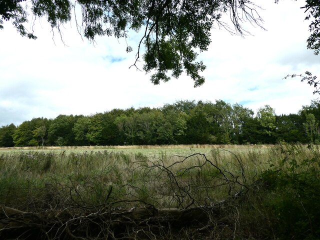
Lower Noad's Copse is a picturesque woodland located in Hampshire, England. This serene forest covers an area of approximately 20 acres and is known for its diverse flora and fauna. It lies within the Test Valley district, just south of the village of Overton.
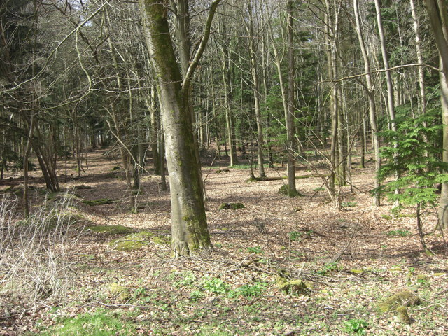
The copse is primarily composed of broadleaf trees, including oak, beech, and ash, which create a dense canopy that provides shade and shelter for a variety of plant and animal species. The forest floor is adorned with a carpet of bluebells and other wildflowers during the spring, adding a vibrant touch to the woodland scenery.
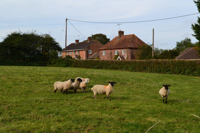
Nature enthusiasts will find Lower Noad's Copse to be a haven for wildlife. The forest is home to numerous bird species, such as woodpeckers, owls, and various songbirds. Additionally, small mammals like foxes, badgers, and squirrels can be spotted scurrying through the undergrowth.
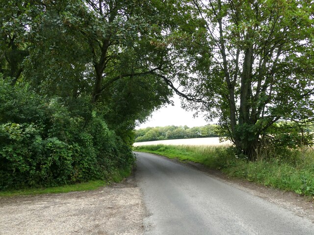
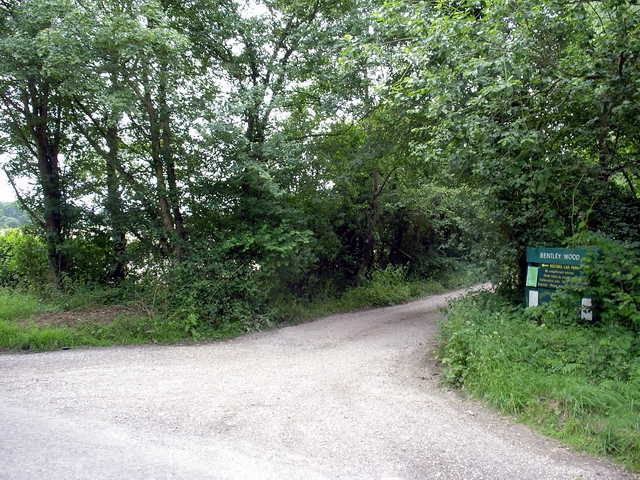
Visitors to the copse can enjoy a network of well-maintained footpaths that wind through the woodland, providing ample opportunities for walking, jogging, or simply immersing oneself in the tranquility of nature. The paths are marked with informative signs that highlight points of interest and provide educational insights about the copse's ecological importance.
Lower Noad's Copse is a popular destination for nature lovers, hikers, and photographers, offering a peaceful retreat away from the bustling urban environment. It is an ideal spot to reconnect with nature, observe wildlife, or simply enjoy a leisurely stroll through a charming Hampshire woodland.
If you have any feedback on the listing, please let us know in the comments section below.
Lower Noad's Copse Images
Images are sourced within 2km of 51.089818/-1.6281264 or Grid Reference SU2632. Thanks to Geograph Open Source API. All images are credited.


Lower Noad's Copse is located at Grid Ref: SU2632 (Lat: 51.089818, Lng: -1.6281264)
Administrative County: Hampshire
District: Test Valley
Police Authority: Hampshire
What 3 Words
///octagonal.circle.jelly. Near Middle Winterslow, Wiltshire
Nearby Locations
Related Wikis

Buckholt, Hampshire
Buckholt is a hamlet and civil parish in the Test Valley district of Hampshire, England, close to the border with Wiltshire. According to the 2001 census...
Winterslow
Winterslow is a civil parish with a population of around 2,000, about 6 miles (10 km) northeast of Salisbury in Wiltshire, England, and lying south of...

Ashleys Copse
Ashley's Copse is the site of an Iron Age hillfort, about 8 miles (13 km) northeast of the city of Salisbury, England, straddling the border between the...

Broughton Down
Broughton Down is a 45.8-hectare (113-acre) biological Site of Special Scientific Interest west of Broughton in Hampshire. The eastern half is a nature...

West Tytherley
West Tytherley is a village and civil parish in the Test Valley district of Hampshire, England. Its nearest town is Stockbridge, which lies approximately...
Bentley Wood
Bentley Wood (grid reference SU250295), together with the adjacent Blackmoor Copse, form one of the largest contiguous areas of woodland in Wiltshire,...
Winterslow Hut
Winterslow Hut was a late 17th-century coaching inn on the London to Exeter stagecoach route at Winterslow, Wiltshire, England. Its isolated location on...

Blackmoor Copse
Blackmoor Copse (grid reference SU234292) is a woodland in southeast Wiltshire, England, managed as a nature reserve by the Wiltshire Wildlife Trust. The...
Nearby Amenities
Located within 500m of 51.089818,-1.6281264Have you been to Lower Noad's Copse?
Leave your review of Lower Noad's Copse below (or comments, questions and feedback).