Aldermoor

Wood, Forest in Wiltshire

England

Aldermoor

The King's Head, Whiteparish
The King's Head, Whiteparish Credit: Roger Cornfoot

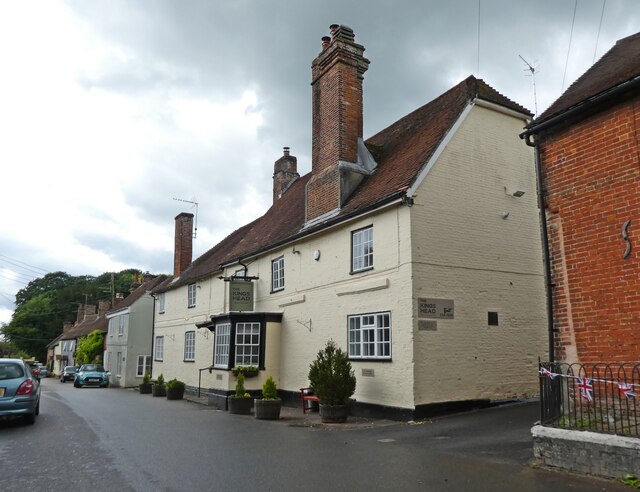
Aldermoor, located in the county of Wiltshire, England, is a small village known for its abundant woodlands and forests. Nestled amidst the picturesque countryside, this idyllic settlement offers a peaceful retreat from the hustle and bustle of urban life.

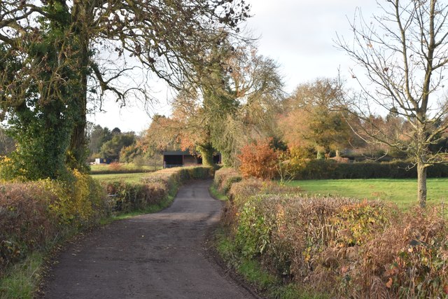
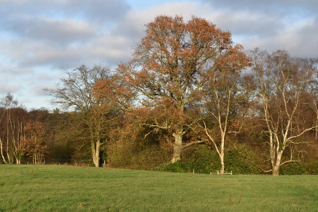
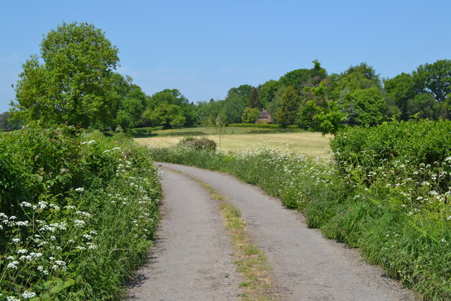
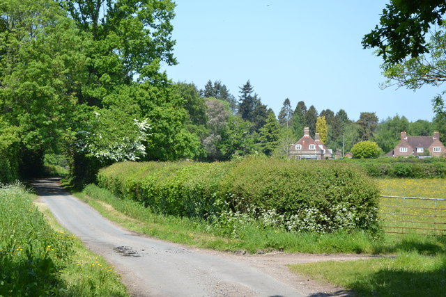
The village is surrounded by dense woodlands, which give it a unique charm and natural beauty. The lush greenery of the forests, dominated by tall alder trees, provides a haven for a variety of flora and fauna. The diverse ecosystem supports a range of wildlife, including deer, foxes, and a myriad of bird species, making it a popular spot for nature enthusiasts and birdwatchers.

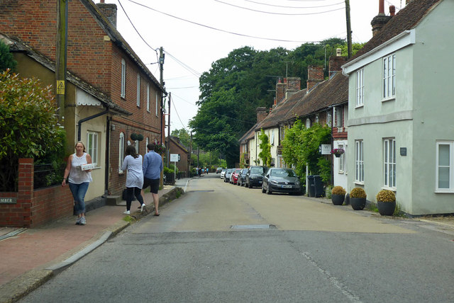
Aldermoor boasts a close-knit community, with a small population that takes pride in its natural surroundings. Residents often engage in outdoor activities such as hiking, cycling, and picnicking in the woodlands. The village also hosts annual events that celebrate the local environment, including tree planting initiatives and conservation workshops.

Despite its secluded location, Aldermoor is well-connected to neighboring towns and cities. The village benefits from a reliable transport network, with regular bus services and a nearby train station providing convenient links to larger urban areas. This accessibility allows residents to enjoy the tranquility of village life while still being within reach of amenities and leisure facilities.

In conclusion, Aldermoor in Wiltshire is a charming village renowned for its lush woodlands and forests. With its strong sense of community and breathtaking natural surroundings, it offers a peaceful and picturesque escape for both residents and visitors alike.

If you have any feedback on the listing, please let us know in the comments section below.

Aldermoor Images

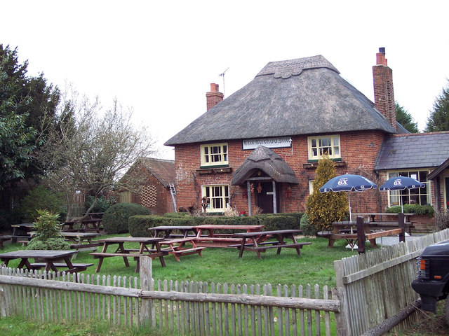
Images are sourced within 2km of 51.00553/-1.6298264 or Grid Reference SU2622. Thanks to Geograph Open Source API. All images are credited.

The King's Head, Whiteparish
A36 Salisbury Road Towards Salisbury.
A36 Salisbury Road
Towards Salisbury.
Autumn colours on the lane to Landford Wood
Autumnal trees near Landfordwood Farm
Whiteparish, All Saints
On the lane to Landford Wood
Stock Lane, approaching Landford Wood
Gatehouse at Landford Wood Formerly one of the gatehouses of the Melchet Court Estate.
Gatehouse at Landford Wood
Formerly one of the gatehouses of the Melchet Court Estate.
Whiteparish: red brick and flint At the time of taking the photograph I assumed that the building with flintwork panels was some sort of converted mill or maltings.  Examining the image on screen later, I have to say that the brickwork and roofing look so neat that I can only conclude that they are 'new build'.  Good, anyway, that local traditions have been respected.

The view is south-west along the main village street - which also happens to be the A27.
Whiteparish: red brick and flint
At the time of taking the photograph I assumed that the building with flintwork panels was some sort of converted mill or maltings. Examining the image on screen later, I have to say that the brickwork and roofing look so neat that I can only conclude that they are 'new build'. Good, anyway, that local traditions have been respected. The view is south-west along the main village street - which also happens to be the A27.
Whiteparish: the main village street View south-westward.  The pub is the 'Parish Lantern', the road is part of the A27.
Whiteparish: the main village street
View south-westward. The pub is the 'Parish Lantern', the road is part of the A27.
Farmland north of Whiteparish Seen from a field gate off Dean Lane.
Farmland north of Whiteparish
Seen from a field gate off Dean Lane.
Whiteparish: the 'Parish Lantern' Pub by the A27.
Whiteparish: the 'Parish Lantern'
Pub by the A27.
A27 towards Salisbury A long straight, not apparently Roman.
A27 towards Salisbury
A long straight, not apparently Roman.
A27 towards Salisbury A long straight, not apparently Roman. Part way along it, the road passes from Hampshire into Wiltshire.
A27 towards Salisbury
A long straight, not apparently Roman. Part way along it, the road passes from Hampshire into Wiltshire.
A27 towards Salisbury
A27 towards Salisbury Passing a garden centre at Cowesfield Green.
A27 towards Salisbury
Passing a garden centre at Cowesfield Green.
The Street, Whiteparish The road is the A27, not resembling the important trunk road it is further east.
The Street, Whiteparish
The road is the A27, not resembling the important trunk road it is further east.
Trees reflected in Melchet Pond
Show me another place!

Aldermoor is located at Grid Ref: SU2622 (Lat: 51.00553, Lng: -1.6298264)

Unitary Authority: Wiltshire

Police Authority: Wiltshire

What 3 Words

///unfocused.soon.slogged. Near Whiteparish, Wiltshire

Related Wikis

Nearby Amenities

Located within 500m of 51.00553,-1.6298264
Post Box
Operator: Royal Mail
Post Box Type: wall
Ref: SP5 30D
Royal Cypher: VR
Royal Cypher Wikidata: Q33102356
Lat/Long: 51.009724/-1.6314791
Barrier: kissing_gate
Lat/Long: 51.0053854/-1.6356392
Barrier: kissing_gate
Lat/Long: 51.005455/-1.6357383
Barrier: kissing_gate
Lat/Long: 51.0038644/-1.6336534
Cowesfield Green
Place: hamlet
Lat/Long: 51.0094008/-1.6318832
Barrier: stile
Lat/Long: 51.0056193/-1.6360125
Cafe
The Shed cafe
Internet Access: wlan
Opening Hours: We-Su 10:00-16:00
Outdoor Seating: yes
Lat/Long: 51.0089188/-1.6333396
The data included in this document is from www.openstreetmap.org. The data is made available under ODbL.

Have you been to Aldermoor?

Leave your review of Aldermoor below (or comments, questions and feedback).