Borehole Wood

Wood, Forest in Durham

England

Borehole Wood

Wear Valley near Croxdale
Wear Valley near Croxdale Credit: Chris Morgan

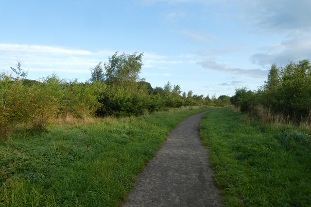
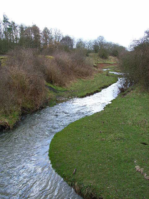
Borehole Wood is a picturesque forest located in Durham, England. Stretching over an area of approximately 100 hectares, it is a popular destination for nature enthusiasts and hikers alike. The wood is situated near the village of Borehole and is easily accessible by road.

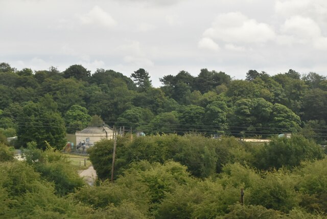
The forest is characterized by its diverse range of tree species, including oak, birch, beech, and pine. The dense canopy created by these trees provides a cool and shaded environment, making it a perfect retreat during the hot summer months. The forest floor is covered with a rich layer of leaf litter, creating a natural carpet that adds to the tranquility of the wood.

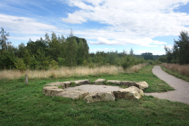
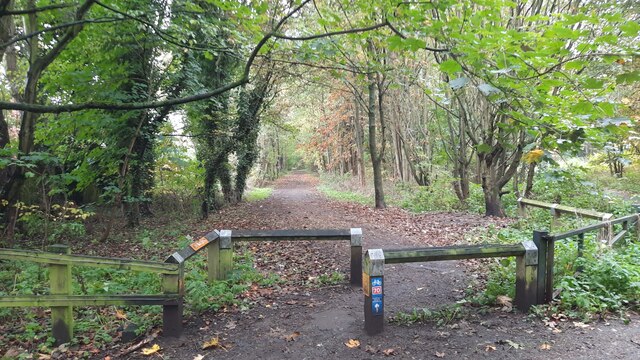
Borehole Wood is home to a variety of wildlife, making it an ideal spot for birdwatchers and nature photographers. Visitors may have the opportunity to spot species such as woodpeckers, owls, squirrels, and deer. The forest also features several well-maintained trails, allowing visitors to explore its beauty while enjoying a peaceful walk.

For those interested in local history, Borehole Wood has a fascinating past. It was once part of an ancient medieval hunting ground and has remnants of a medieval deer park. The wood has also been used for timber production over the years, contributing to the local economy.

Overall, Borehole Wood offers a serene and idyllic setting for visitors to immerse themselves in nature. Its combination of diverse flora, abundant wildlife, and historical significance make it a must-visit destination for anyone seeking a peaceful retreat in the heart of Durham.

If you have any feedback on the listing, please let us know in the comments section below.

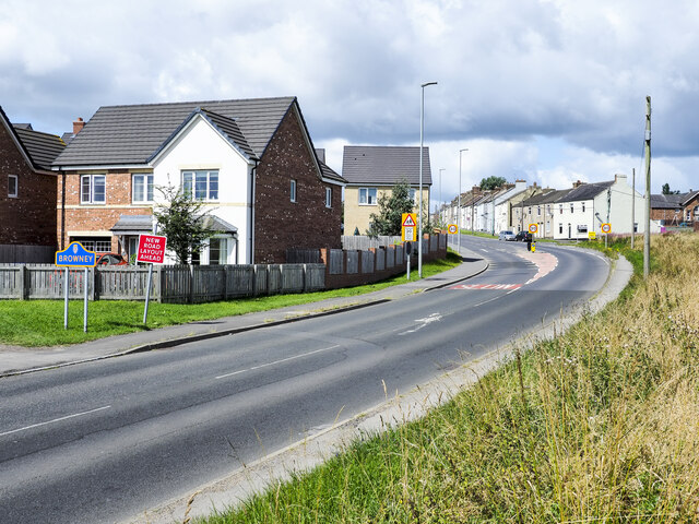
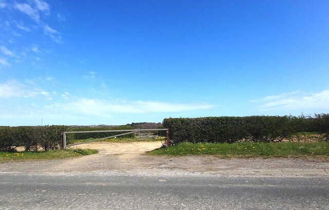
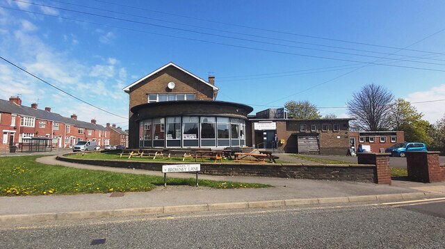
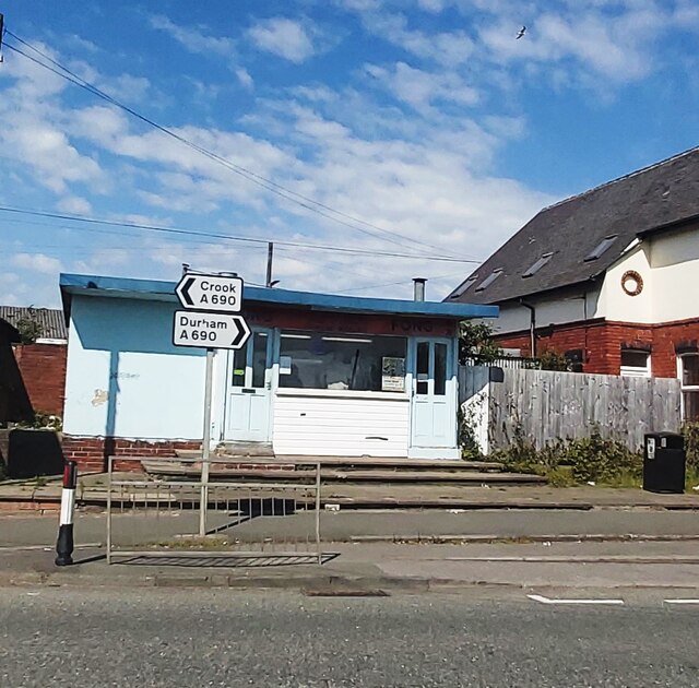
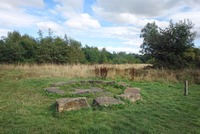
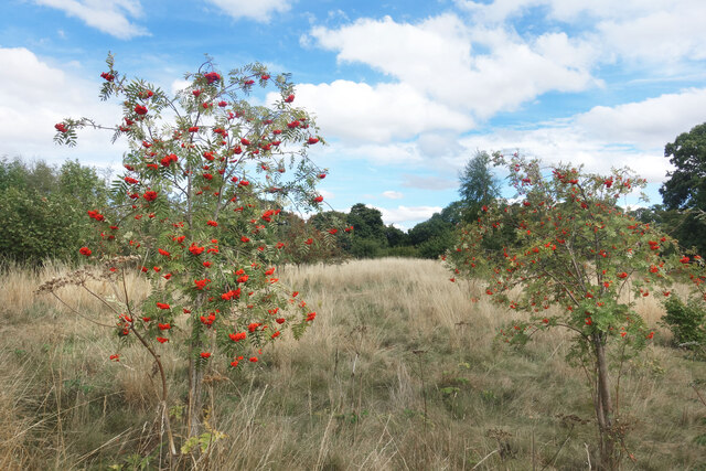
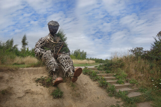
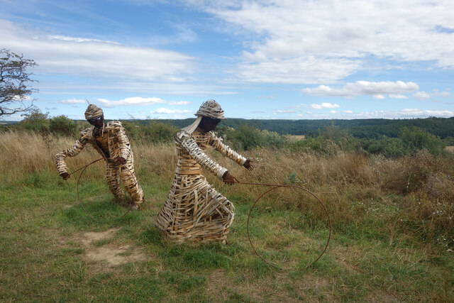
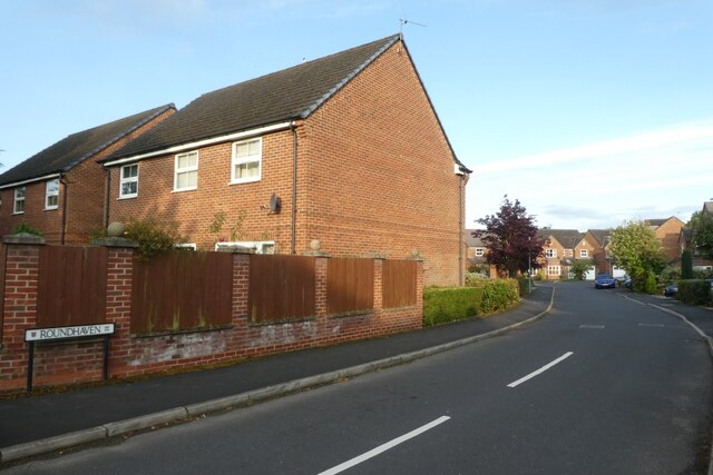
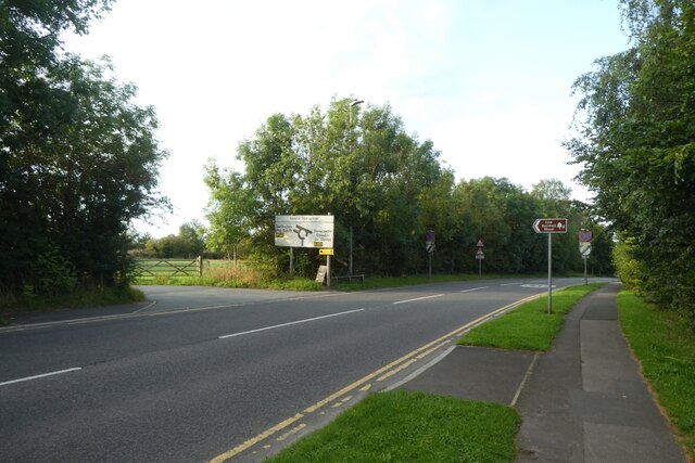
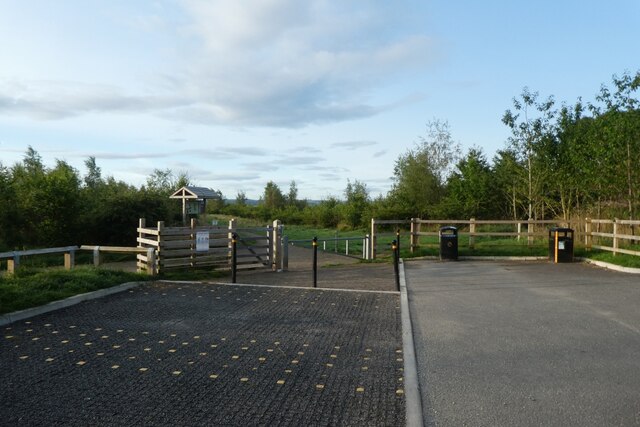
Borehole Wood Images

Images are sourced within 2km of 54.755246/-1.5990147 or Grid Reference NZ2540. Thanks to Geograph Open Source API. All images are credited.

Wear Valley near Croxdale
Sewage Works near Burn Hall
Detached house beside Browney Lane The road is Browney Lane, the B6300. The detached house is one of a number of recently built properties just outside the village of Meadowfield. At the left side of the image is a road sign in the blue and yellow colours found typically in County Durham.
Detached house beside Browney Lane
The road is Browney Lane, the B6300. The detached house is one of a number of recently built properties just outside the village of Meadowfield. At the left side of the image is a road sign in the blue and yellow colours found typically in County Durham.
Track off Browney Lane
Meadowfield and District Social Club and Institute
Tung Fong Chinese Takeaway - Meadowfield
Stone Spiral in Gary's Wood Gary's Wood is part of the Woodland Trust land at Lower Burnhall, a relatively new woodland area with extensive footpath access. It has various sculptures and stone features at intervals along the tracks.
Stone Spiral in Gary's Wood
Gary's Wood is part of the Woodland Trust land at Lower Burnhall, a relatively new woodland area with extensive footpath access. It has various sculptures and stone features at intervals along the tracks.
Rowan Trees, Low Burnhall Low Burnhall is a fairly recently established bit of forest managed by the Woodland Trust.
Rowan Trees, Low Burnhall
Low Burnhall is a fairly recently established bit of forest managed by the Woodland Trust.
Wicker Man, Low Burnhall A wickerwork figure of a miner sits beside a path in Low Burnhall Wood. There are several sculptures and features at intervals around the wood.
Wicker Man, Low Burnhall
A wickerwork figure of a miner sits beside a path in Low Burnhall Wood. There are several sculptures and features at intervals around the wood.
Wickerwork Figures, Low Burnhall Wood Some more of the wicker sculptures which can be seen in Low Burnhall Wood.
Wickerwork Figures, Low Burnhall Wood
Some more of the wicker sculptures which can be seen in Low Burnhall Wood.
Stone Circle, Low Burnhall Wood There are a lot of tracks and trails around Low Burnhall Wood with various features at intervals. Some stone, like this, some wickerwork, and some old industrial relics.
Stone Circle, Low Burnhall Wood
There are a lot of tracks and trails around Low Burnhall Wood with various features at intervals. Some stone, like this, some wickerwork, and some old industrial relics.
Brandon to Bishop Auckland Railway Path This is part of National Cycle Network route 70.
Brandon to Bishop Auckland Railway Path
This is part of National Cycle Network route 70.
Durham, Cock of the North Hotel According to the OS benchmark database the OS Flush Bracket 8969 was embedded into the pub and hotel which was at this location. The pub has been demolished and replaced with new housing. It is likely the Flush Bracket has been destroyed.
Durham, Cock of the North Hotel
According to the OS benchmark database the OS Flush Bracket 8969 was embedded into the pub and hotel which was at this location. The pub has been demolished and replaced with new housing. It is likely the Flush Bracket has been destroyed.
Sewage Works
Sewage Works
Roundhaven from the A177 A street off South Road in Durham.
Roundhaven from the A177
A street off South Road in Durham.
Entrance to Low Burnhall An entrance to the Woodland Trust car park off the A177 South Road near Cock o' the North roundabout.
Entrance to Low Burnhall
An entrance to the Woodland Trust car park off the A177 South Road near Cock o' the North roundabout.
Car park at Low Burnhall Low Burnhall is a Woodland Trust site to the south of Durham.
Car park at Low Burnhall
Low Burnhall is a Woodland Trust site to the south of Durham.
Track towards the car park Low Burnhall is a Woodland Trust site to the south of Durham.
Track towards the car park
Low Burnhall is a Woodland Trust site to the south of Durham.
Show me another place!

Borehole Wood is located at Grid Ref: NZ2540 (Lat: 54.755246, Lng: -1.5990147)

Unitary Authority: County Durham

Police Authority: Durham

What 3 Words

///prone.librarian.safely. Near Brandon, Co. Durham

Related Wikis

Langley Moor

Langley Moor is an old pit village in County Durham, England. It is located approximately 2 miles south-west of Durham City. Langley Moor is within the...

Durham High School for Girls

Durham High School is a single-sex independent day school for girls aged 3 to 18 years old in Durham, United Kingdom. == History and current status... ==

River Deerness

The River Deerness in County Durham, England is a tributary to the River Browney, which is itself a tributary the River Wear. It rises near Tow Law and...

Mount Oswald

Mount Oswald is a manor house in Durham, County Durham, England. The property, which is being developed for academic and residential use, is a Grade II...

Lowes Barn

Lowes Barn or Lowe's Barn is a suburb of the city of Durham in County Durham, England. It lies to the south-west of Durham and is linked with Neville's...

John Snow College, Durham

John Snow College is a constituent college of Durham University. The college was founded in 2001 on the University's Queen's Campus in Stockton-on-Tees...

Stephenson College, Durham

Stephenson College is a college of the University of Durham in England. It was founded in 2001 as part the university's Queen's Campus in Thornaby-on...

South College, Durham

South College is a college of Durham University, which accepted its first students in autumn 2020.It is located in new buildings at Mount Oswald on Elvet...

Nearby Amenities

Located within 500m of 54.755246,-1.5990147
Ele: 91.93
Razed Man Made: tower
Lat/Long: 54.7547911/-1.5922932
Power: tower
Lat/Long: 54.758882/-1.6014578
Power: tower
Source: Bing
Lat/Long: 54.7566552/-1.6006688
Barrier: stile
Foot: yes
Lat/Long: 54.756161/-1.6047349
Power: tower
Source: Bing
Lat/Long: 54.7539759/-1.5997387
Power: tower
Source: Bing
Lat/Long: 54.75133/-1.5988394
Entrance: yes
Lat/Long: 54.7566849/-1.5921874
Power: pole
Lat/Long: 54.753542/-1.5944311
Power: pole
Lat/Long: 54.7528702/-1.5952787
Power: pole
Lat/Long: 54.7524182/-1.5964589
Power: pole
Lat/Long: 54.7519948/-1.5975948
Power: pole
Lat/Long: 54.7508981/-1.5992939
Power: pole
Lat/Long: 54.7514724/-1.5982358
North East Granite
Addr City: Durham
Addr Country: GB
Addr Postcode: DH7 8HJ
Addr Suburb: Lanchester
Craft: stonemason
Website: https://www.northeastgranite.co.uk/
Lat/Long: 54.7536627/-1.6058037
The data included in this document is from www.openstreetmap.org. The data is made available under ODbL.

Have you been to Borehole Wood?

Leave your review of Borehole Wood below (or comments, questions and feedback).