Spa Gill Wood

Wood, Forest in Yorkshire Harrogate

England

Spa Gill Wood

Plantation remnants near Winksley The map I was using indicated that this area should have been covered with trees - as can be seen there are not many left. This is about half a mile south of the village of Winksley
Plantation remnants near Winksley Credit: Chris Heaton

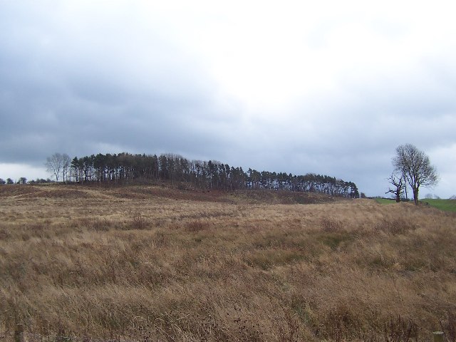
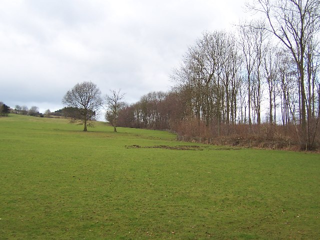
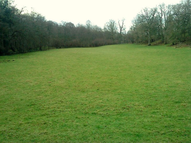
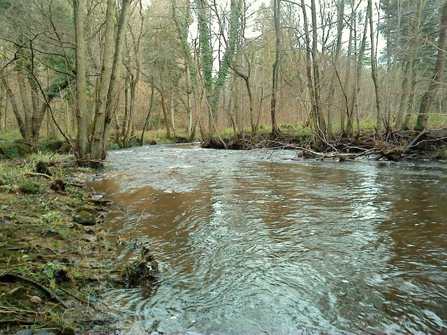
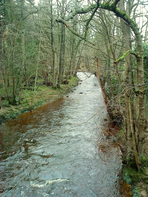
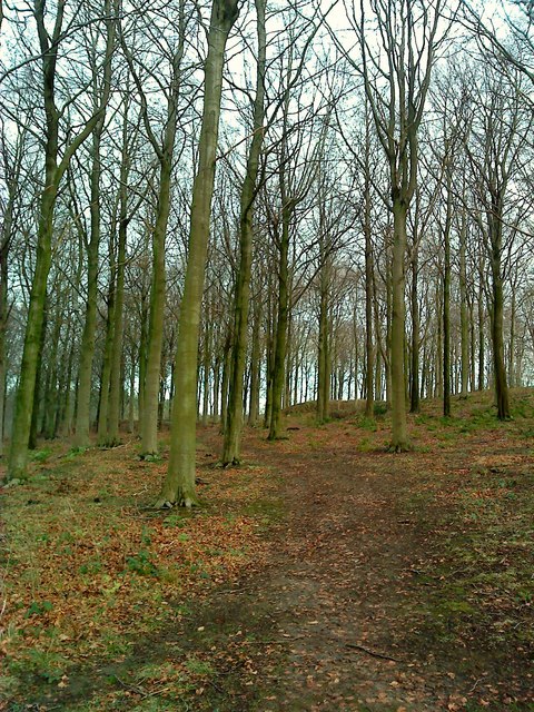
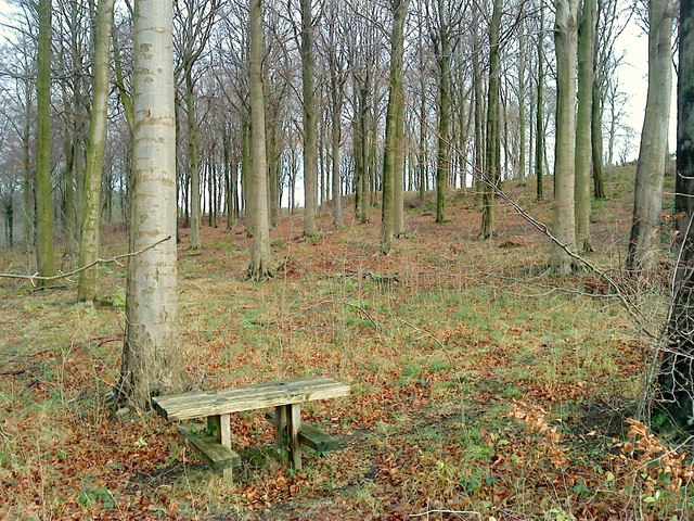
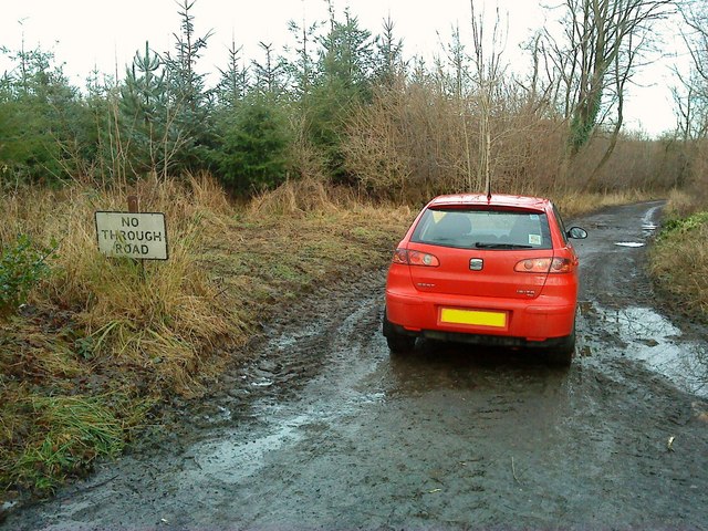
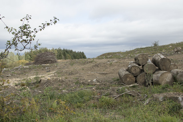
Spa Gill Wood is a picturesque woodland area located in Yorkshire, England. Stretching over a vast expanse of land, this beautiful forest covers an area of approximately 200 acres, providing a tranquil escape from the hustle and bustle of the nearby towns and cities.

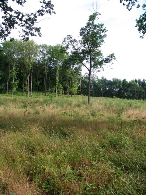
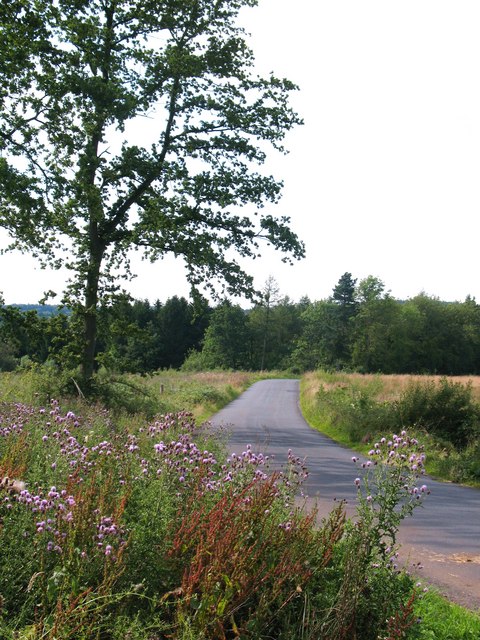
The wood is characterized by its diverse range of flora and fauna, showcasing the natural beauty of the region. Visitors to Spa Gill Wood can expect to encounter a variety of tree species, including oak, beech, and birch, which create a stunning canopy overhead. The forest floor is adorned with an array of wildflowers, adding splashes of color to the landscape throughout the seasons.

The wood is also home to a rich and diverse wildlife population. Birdwatchers will delight in the opportunity to spot various species, such as woodpeckers, owls, and various songbirds. Small mammals like squirrels and rabbits can be seen darting through the undergrowth, while lucky visitors may even catch a glimpse of a deer or fox.

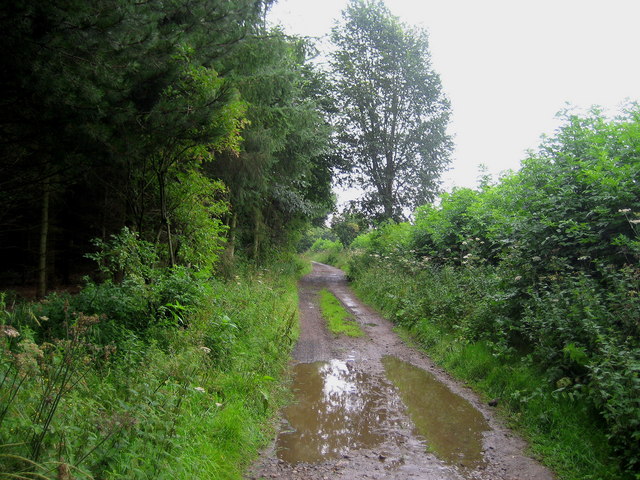
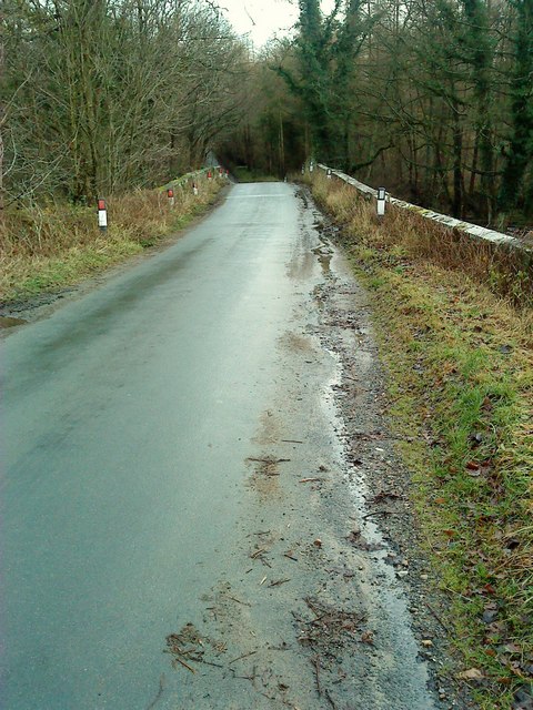
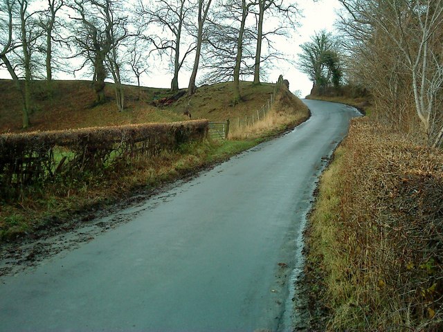
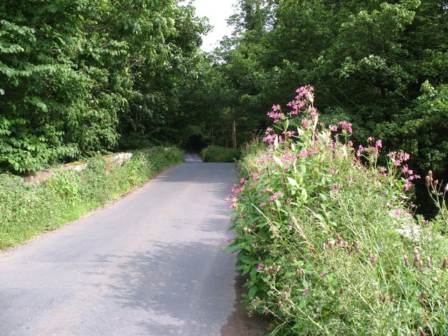
The forest offers numerous walking trails, allowing visitors to explore its beauty at their own pace. These paths wind their way through the woods, offering breathtaking views and opportunities for peaceful contemplation. For those seeking a more active experience, Spa Gill Wood is also popular for mountain biking and horseback riding.

In conclusion, Spa Gill Wood is a stunning woodland area in Yorkshire, offering visitors the chance to immerse themselves in nature's splendor. With its diverse flora and fauna, picturesque trails, and recreational activities, this forest is a true gem for nature enthusiasts and those seeking a peaceful escape.

If you have any feedback on the listing, please let us know in the comments section below.

Spa Gill Wood Images

Images are sourced within 2km of 54.11542/-1.6069855 or Grid Reference SE2568. Thanks to Geograph Open Source API. All images are credited.

Plantation remnants near Winksley The map I was using indicated that this area should have been covered with trees - as can be seen there are not many left. This is about half a mile south of the village of Winksley
Plantation remnants near Winksley
The map I was using indicated that this area should have been covered with trees - as can be seen there are not many left. This is about half a mile south of the village of Winksley
Southern part of Winksley Plantation Pleasant woodlands not far from Fountains Abbey
Southern part of Winksley Plantation
Pleasant woodlands not far from Fountains Abbey
Track by Foster Field After a heavy downpour the track runs along the edge of a plantation on Foster Field, near Winksley.
Track by Foster Field
After a heavy downpour the track runs along the edge of a plantation on Foster Field, near Winksley.
High Lindrick Farm. Close to Mallard Grange and Studley Royal near Ripon.
High Lindrick Farm.
Close to Mallard Grange and Studley Royal near Ripon.
Mallard Grange Road off the B6265 leading to Mallard Grange near Studley Royal.
Mallard Grange
Road off the B6265 leading to Mallard Grange near Studley Royal.
Fountains Gate Lane Fountains Gate crosses the River Laver.
Fountains Gate Lane
Fountains Gate crosses the River Laver.
Laver Valley An open field, in a prodominantly wooded valley.
Laver Valley
An open field, in a prodominantly wooded valley.
Fountains Gate: Old & New Fountains Gate is an ancient route from Winksley to Fountains Abbey. Here on the valleyside can be seen an old holloway to the left of the tarmac road.
Fountains Gate: Old & New
Fountains Gate is an ancient route from Winksley to Fountains Abbey. Here on the valleyside can be seen an old holloway to the left of the tarmac road.
Ings Bridge This bridge has helped people crossing the River Laver since the mid 18thC. It is a grade 2 listed bridge, made of sandstone ashlar with a pointed cutwater.
Ings Bridge
This bridge has helped people crossing the River Laver since the mid 18thC. It is a grade 2 listed bridge, made of sandstone ashlar with a pointed cutwater.
Downstream The River Laver cuts its way eastwards through its wooded valley towards its confluence with the Skell at Ripon.
Downstream
The River Laver cuts its way eastwards through its wooded valley towards its confluence with the Skell at Ripon.
Upstream The River Laver from Ings Bridge, its banks lined with alders, begins its journey on Dallowgill and Kirkby Malzeard Moors around 12km away to the west.
Upstream
The River Laver from Ings Bridge, its banks lined with alders, begins its journey on Dallowgill and Kirkby Malzeard Moors around 12km away to the west.
Foster Field Beech wood on Foster Field, Aldfield.
Foster Field
Beech wood on Foster Field, Aldfield.
Picnic anyone? A lone picnic bench at the side of Fountains Gate, in Foster Field wood.
Picnic anyone?
A lone picnic bench at the side of Fountains Gate, in Foster Field wood.
Muddy Lane This isn't strictly true, as this track does go through, but I wouldn't fancy it unless I had a 4x4 with high ground clearance. Plus you would need permission from the farmer at High Lindrick.
Muddy Lane
This isn't strictly true, as this track does go through, but I wouldn't fancy it unless I had a 4x4 with high ground clearance. Plus you would need permission from the farmer at High Lindrick.
Sun Wood Evidence here of recent timber clearing and subsequent replanting with a mixture of conifers and broadleaf trees.
Sun Wood
Evidence here of recent timber clearing and subsequent replanting with a mixture of conifers and broadleaf trees.
The road to Grantley Minor road to the west of Ripon, connecting that city with Low and High Grantley
The road to Grantley
Minor road to the west of Ripon, connecting that city with Low and High Grantley
Fountains Gate at Ings Bridge In this summertime photograph the upstream parapet is obscured by the invasive weed himalayan balsam.
Fountains Gate at Ings Bridge
In this summertime photograph the upstream parapet is obscured by the invasive weed himalayan balsam.
Harvest time When a forestry plantation is harvested it does leave the land looking quite desolate. However given time it is replanted and again nature takes over to repair the damage
Harvest time
When a forestry plantation is harvested it does leave the land looking quite desolate. However given time it is replanted and again nature takes over to repair the damage
Show me another place!

Spa Gill Wood is located at Grid Ref: SE2568 (Lat: 54.11542, Lng: -1.6069855)

Division: West Riding

Administrative County: North Yorkshire

District: Harrogate

Police Authority: North Yorkshire

What 3 Words

///lamp.helped.fidelity. Near Ripon, North Yorkshire

Nearby Locations

Spa Gill Wood Aldfield Spa

Related Wikis

Aldfield

Aldfield is a village and civil parish in the former Harrogate district of North Yorkshire, England, about three miles west of Ripon. It is the closest...

Risplith

Risplith is a village in the civil parish of Sawley, in the Harrogate district of North Yorkshire, England. It is about 4 miles (6.4 km) west of Ripon...

Ripon and Pateley Bridge Rural District

Ripon and Pateley Bridge was a rural district in the West Riding of Yorkshire, England from 1937 to 1974. It was created in 1937 by a County Review Order...

Fountains Hall

Fountains Hall is a country house near Ripon in North Yorkshire, England, located within the World Heritage Site at Studley Royal Park which include the...

Sawley, North Yorkshire

Sawley is a village and civil parish in the Harrogate district of North Yorkshire, England. It is about 4 miles (6.4 km) west of Ripon. From this position...

Grantley Hall

Grantley Hall is a English country house located in North Yorkshire, England. It is situated near Grantley, about 5 miles (8 km) to the west of Ripon,...

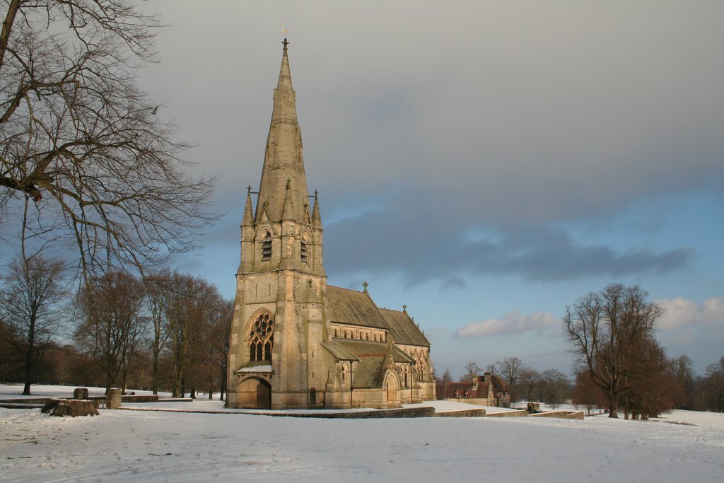
St Mary's, Studley Royal

The Church of St Mary, Studley Royal, is a Victorian Gothic Revival church built in the Early English style by William Burges. It is located in the grounds...

Fountains Abbey

Fountains Abbey is one of the largest and best preserved ruined Cistercian monasteries in England. It is located approximately 3 miles (5 km) south-west...

Nearby Amenities

Located within 500m of 54.11542,-1.6069855
Barrier: stile
Lat/Long: 54.1140723/-1.6116271
Barrier: stile
Material: wood
Step Count: 2
Stile: stepover
Lat/Long: 54.1165135/-1.6056407
The data included in this document is from www.openstreetmap.org. The data is made available under ODbL.

Have you been to Spa Gill Wood?

Leave your review of Spa Gill Wood below (or comments, questions and feedback).