Deepdale

Settlement in Bedfordshire

England

Deepdale

Entrance to quarry
Entrance to quarry Credit: d brewerton

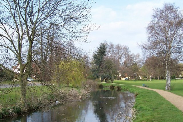
Deepdale is a small village located in Bedfordshire, England. It is situated in the eastern part of the county, near the town of Bedford. The village is known for its picturesque countryside, with rolling hills, lush green fields, and meandering streams.

Deepdale is a quiet and tranquil village, with a close-knit community of residents who take pride in their surroundings. The village has a few amenities, including a local pub, a small church, and a village hall where community events and gatherings are held.

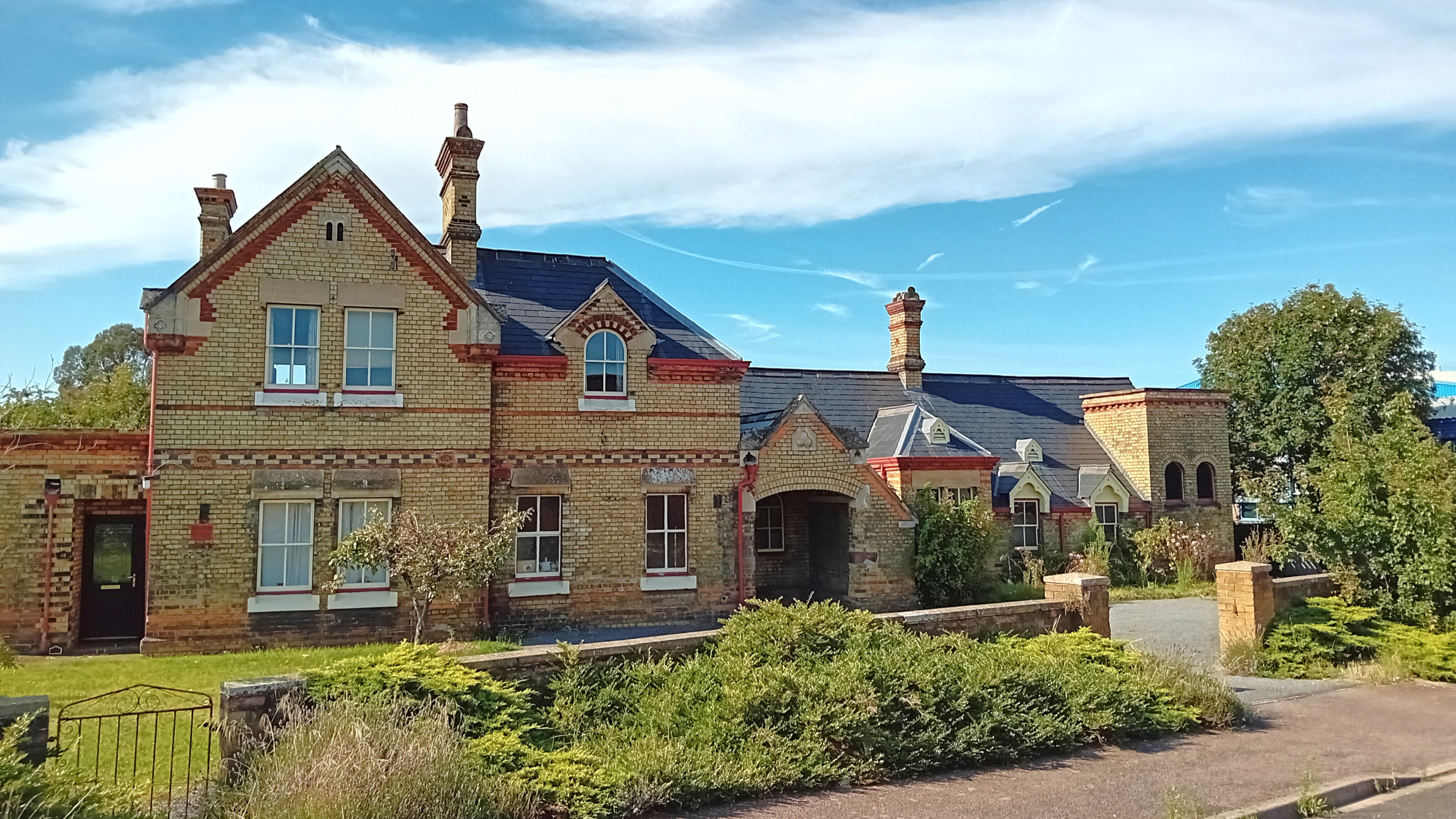
The architecture in Deepdale is typically traditional, with many old stone cottages and farmhouses dotting the landscape. The village has a rich history, with some buildings dating back several centuries.

Deepdale is surrounded by beautiful countryside, making it a popular destination for hikers, cyclists, and nature lovers. The village is also located near several historic sites and attractions, including the historic city of Bedford and the stunning Woburn Abbey.

Overall, Deepdale is a charming and idyllic village, perfect for those looking to escape the hustle and bustle of city life and enjoy the peace and tranquility of the English countryside.

If you have any feedback on the listing, please let us know in the comments section below.
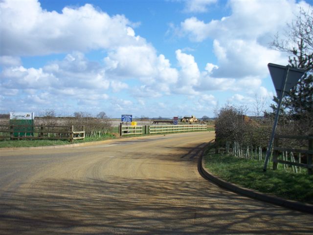
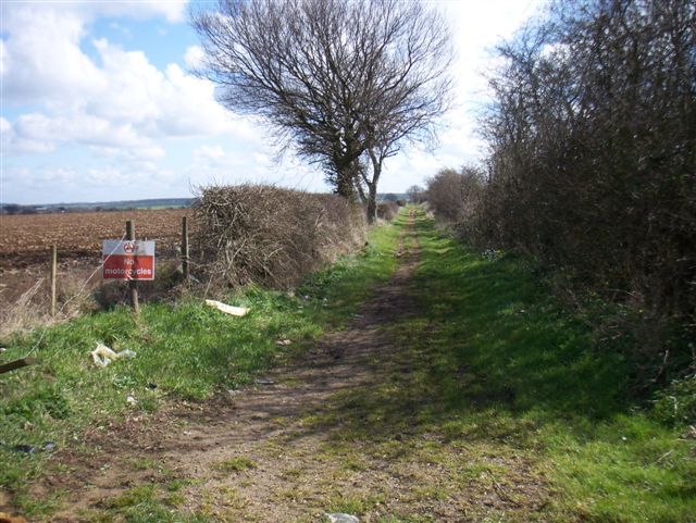
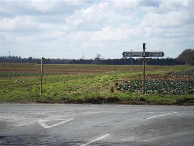
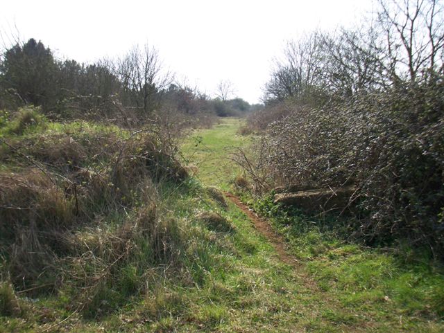
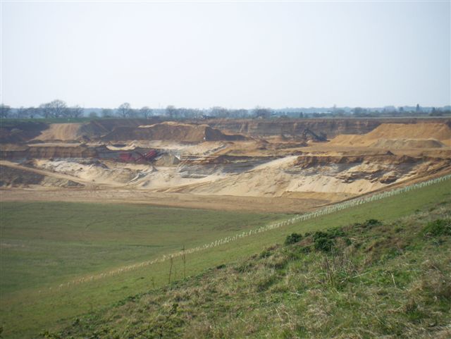
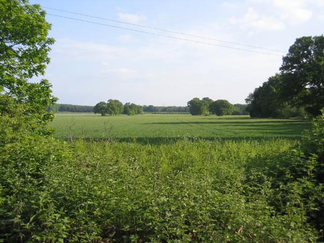
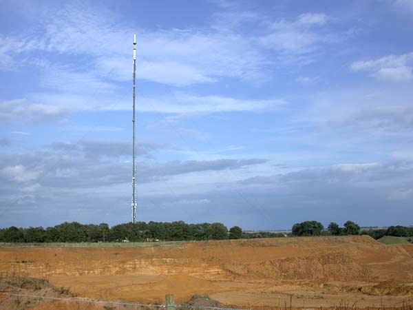
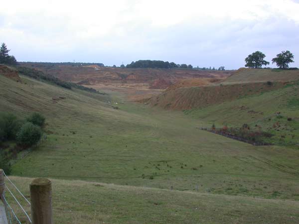
Deepdale Images

Images are sourced within 2km of 52.127414/-0.235995 or Grid Reference TL2049. Thanks to Geograph Open Source API. All images are credited.

Entrance to quarry
Entrance to quarry
Bridleway
Bridleway
Which way? Road junction and footpath
Which way?
Road junction and footpath
Footpath to Potton
Footpath to Potton
Still digging! Still active workings
Still digging!
Still active workings
All Saints' church, Sutton, Beds situated north of Church Road, built in the Early English and Decorated styles.
All Saints' church, Sutton, Beds
situated north of Church Road, built in the Early English and Decorated styles.
Winter wheat, Sutton, Beds on Fen Farm SW of Carthagena Road.
Winter wheat, Sutton, Beds
on Fen Farm SW of Carthagena Road.
Lupin crop, Sutton, Beds on sandy soils (Frilford series – argillic brown sands); view from Carthgena Road towards the wooded Greensand ridge.
Lupin crop, Sutton, Beds
on sandy soils (Frilford series – argillic brown sands); view from Carthgena Road towards the wooded Greensand ridge.
Entrance to bridleway, Sutton/Potton, Beds from Carthagena Road towards Galley Hill, forming the parish boundary.
Entrance to bridleway, Sutton/Potton, Beds
from Carthagena Road towards Galley Hill, forming the parish boundary.
St Mary's, Potton St Mary's is situated on a small hill on the edge of Potton. An ancient right of way (locally called the Church Causeway) leads from opposite the Church to the centre of Potton. The Church recently celebrated its 900th anniversary although the present building mostly originates from the 13th Century.
St Mary's, Potton
St Mary's is situated on a small hill on the edge of Potton. An ancient right of way (locally called the Church Causeway) leads from opposite the Church to the centre of Potton. The Church recently celebrated its 900th anniversary although the present building mostly originates from the 13th Century.
Sandy Heath TV Transmitter Sandy Heath TV transmitter (lots of information here: <span class="nowrap"><a title="http://tx.mb21.co.uk/gallery/gallerypage.php?txid=840" rel="nofollow ugc noopener" href="http://tx.mb21.co.uk/gallery/gallerypage.php?txid=840">Link</a><img style="margin-left:2px;" alt="External link" title="External link - shift click to open in new window" src="https://s1.geograph.org.uk/img/external.png" width="10" height="10"/></span> and here <span class="nowrap"><a title="https://www.thebigtower.com/live/SandyHeath/Index.htm" rel="nofollow ugc noopener" href="https://www.thebigtower.com/live/SandyHeath/Index.htm">Link</a><img style="margin-left:2px;" alt="External link" title="External link - shift click to open in new window" src="https://s1.geograph.org.uk/img/external.png" width="10" height="10"/></span> ) with Sandy Quarry in the foreground.
Sandy Heath TV Transmitter
Sandy Heath TV transmitter (lots of information here: LinkExternal link and here LinkExternal link ) with Sandy Quarry in the foreground.
Disused sand quarry The old sand quarry workings just to the south of the Sandy Heath transmitter.
Disused sand quarry
The old sand quarry workings just to the south of the Sandy Heath transmitter.
Potton Station Opened June 1862, close January 1968. See <span class="nowrap"><a title="http://www.disused-stations.org.uk/p/potton/index.shtml" rel="nofollow ugc noopener" href="http://www.disused-stations.org.uk/p/potton/index.shtml">Link</a><img style="margin-left:2px;" alt="External link" title="External link - shift click to open in new window" src="https://s1.geograph.org.uk/img/external.png" width="10" height="10"/></span> for the history of the station and associated railway line, photos etc.
Potton Station
Opened June 1862, close January 1968. See LinkExternal link for the history of the station and associated railway line, photos etc.
Potton Station
Potton Station
Big foot Portobello Farm through the trees
Big foot
Portobello Farm through the trees
The Market House Clock Tower This 18th century building was once much larger until 1939 when it was considered unsafe and demolished, leaving only this clock tower section.
The Market House Clock Tower
This 18th century building was once much larger until 1939 when it was considered unsafe and demolished, leaving only this clock tower section.
Potton fire station Potton fire station, Bury Hill, Potton, Bedfordshire
Potton fire station
Potton fire station, Bury Hill, Potton, Bedfordshire
Potton Park
Potton Park
Show me another place!

Deepdale is located at Grid Ref: TL2049 (Lat: 52.127414, Lng: -0.235995)

Unitary Authority: Central Bedfordshire

Police Authority: Bedfordshire

What 3 Words

///wire.cleanest.fashion. Near Potton, Bedfordshire

Nearby Locations

Deepdale

Related Wikis

Sandy Heath transmitting station

Sandy Heath transmitting station is a television and radio broadcasting station in England, located between Sandy, Bedfordshire and Potton near the B1042...

BigglesFM

BigglesFM is a local radio station based in Potton. It started broadcasting a full-time service on 22 April 2011.The station plays both modern and older...

Potton railway station

Potton was a railway station on the Varsity Line which served the small town of the same name in Bedfordshire. Opened in 1857 as part of Sir William Peel...

Potton United F.C.

Potton United F.C. is an English football club based in Potton, Bedfordshire. The club are currently members of the Spartan South Midlands League Premier...

Related Videos

Walking UK's Magnificent Woodlands | RSPB The Lodge (Part 2)

Welcome to Part 2, where I continue walking around some of the most magnificent woodlands that the UK has to offer at RSPB ...

Exploring the UK's AMAZING Woodlands | RSPB The Lodge (Part 1)

Today, I explored some of the most amazing woodlands that the UK has to offer at RSPB The Lodge in Bedfordshire. This nature ...

Swinging From a Tree Sandy woods. #deepdalewoods #grandchildren

Hi welcome to my channel. In this video I am out for the afternoon with my grandson in deepdale woods built on hills of sand with ...

Practice your craft and learn

This is a vid I should have put up last week before my new yrs day vid but it still counts..this video is about knowledge and ...

Nearby Amenities

Located within 500m of 52.127414,-0.235995
Deepdale Water Gardens
Shop: aquatic
Lat/Long: 52.1277495/-0.2360525
Sandy Heath TV Transmitter
Communication Television: yes
Height: 244
Man Made: mast
Operator: Arqiva
Tower Construction: guyed
Tower Type: communication
Lat/Long: 52.1302063/-0.2414156
Post Box
Ref: SG19 226
Lat/Long: 52.1254334/-0.2376754
Direction: 165
Generator Method: photovoltaic
Generator Output Electricity: yes
Generator Solar Modules: 10
Generator Source: solar
Generator Type: solar_photovoltaic_panel
Location: roof
Power: generator
Lat/Long: 52.1253338/-0.2368233
Direction: 190
Generator Method: photovoltaic
Generator Output Electricity: yes
Generator Solar Modules: 46
Generator Source: solar
Generator Type: solar_photovoltaic_panel
Location: roof
Power: generator
Lat/Long: 52.1274531/-0.2360497
Direction: 175
Generator Method: photovoltaic
Generator Output Electricity: yes
Generator Solar Modules: 11
Generator Source: solar
Generator Type: solar_photovoltaic_panel
Location: roof
Power: generator
Lat/Long: 52.1278533/-0.2360082
Direction: 190
Generator Method: photovoltaic
Generator Output Electricity: yes
Generator Solar Modules: 14
Generator Source: solar
Generator Type: solar_photovoltaic_panel
Location: roof
Power: generator
Lat/Long: 52.1309193/-0.2362226
The data included in this document is from www.openstreetmap.org. The data is made available under ODbL.

Have you been to Deepdale?

Leave your review of Deepdale below (or comments, questions and feedback).