Bank Plantation
Wood, Forest in Derbyshire Derbyshire Dales
England
Bank Plantation
Bank Plantation is a picturesque woodland located in Derbyshire, England. Situated in the heart of the county, it covers an area of approximately 100 acres and is part of the larger National Forest. The plantation is known for its dense growth of trees, predominantly consisting of oak, ash, and beech.
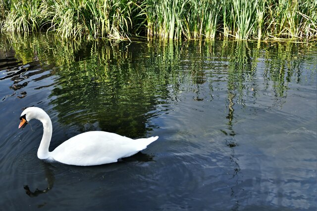
The woodland is a popular destination for nature enthusiasts and outdoor enthusiasts alike. It offers a range of recreational activities, including walking, hiking, and birdwatching. The diverse range of flora and fauna found within the plantation attracts a variety of bird species, making it a haven for birdwatchers.
Bank Plantation is also home to a network of well-maintained trails, allowing visitors to explore its beauty at their own pace. These trails offer stunning views of the surrounding countryside and provide a peaceful setting for a leisurely stroll or a more challenging hike.
The plantation is managed by the National Forest Company, which works to preserve and enhance the natural environment. As a result, Bank Plantation is a well-maintained woodland, with clear paths, informative signage, and designated picnic areas.
In addition to its natural beauty, Bank Plantation also has historical significance. The woodland was once part of a grand estate and still retains remnants of its past, including the remains of an old hunting lodge.
Overall, Bank Plantation in Derbyshire is a captivating woodland that offers visitors a tranquil escape into nature. With its diverse range of wildlife, well-maintained trails, and historical charm, it is a must-visit destination for nature lovers and those seeking a peaceful retreat.
If you have any feedback on the listing, please let us know in the comments section below.
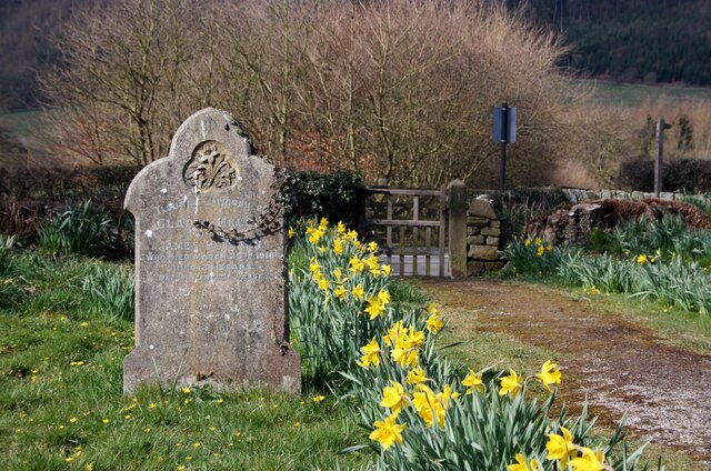
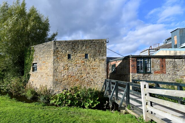
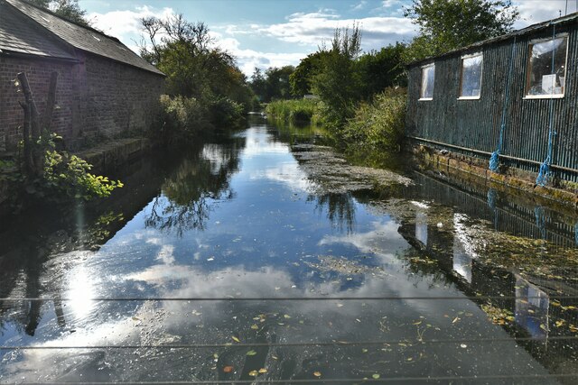
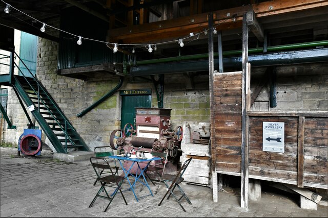
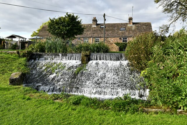
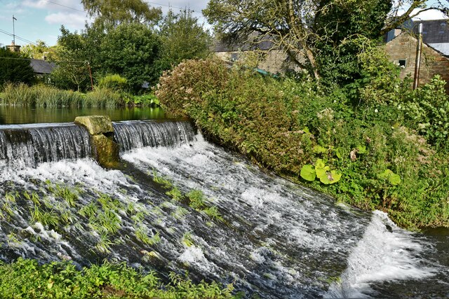
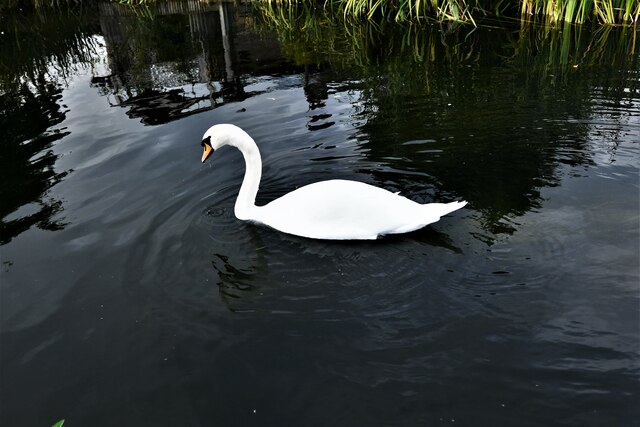
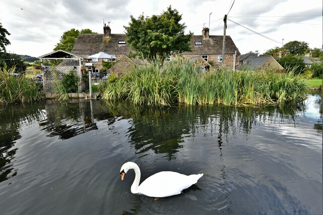
Bank Plantation Images
Images are sourced within 2km of 53.193556/-1.6168832 or Grid Reference SK2566. Thanks to Geograph Open Source API. All images are credited.


Bank Plantation is located at Grid Ref: SK2566 (Lat: 53.193556, Lng: -1.6168832)
Administrative County: Derbyshire
District: Derbyshire Dales
Police Authority: Derbyshire
What 3 Words
///cliff.midfield.movements. Near Bakewell, Derbyshire
Nearby Locations
Related Wikis
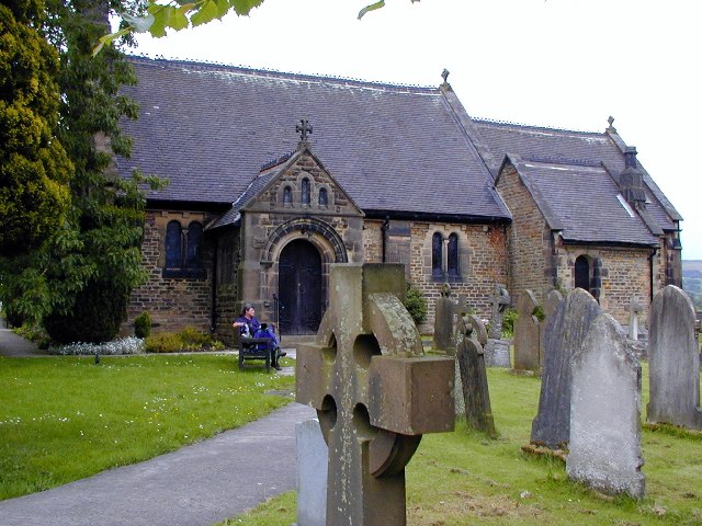
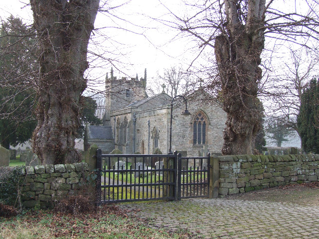
St Katherine's Church, Rowsley
St Katherine's Church, Rowsley is a Grade II listed parish church in the Church of England: 312 in Rowsley, Derbyshire. == History == The foundation stone...
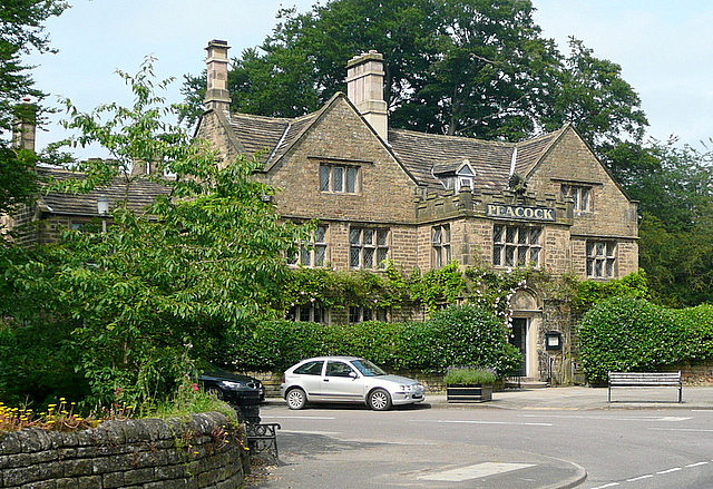
Rowsley
Rowsley () is a village on the A6 road in the English county of Derbyshire. The population as at the 2011 census was 507.It is at the point where the River...
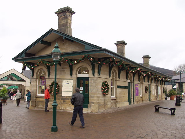
Rowsley railway station
The original Rowsley railway station was opened in 1849 by the Manchester, Buxton, Matlock and Midlands Junction Railway to serve the village of Rowsley...
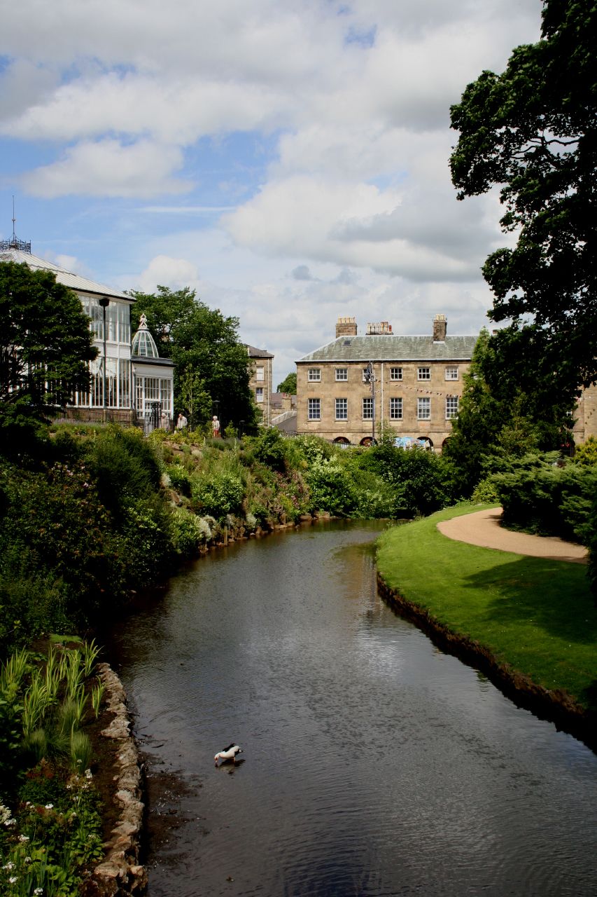
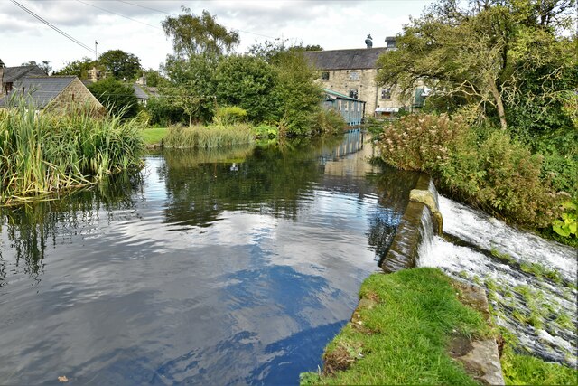
River Wye, Derbyshire
The River Wye is a limestone river in the Peak District of Derbyshire, England. It is 22 miles long (widely but incorrectly attributed as 15 miles/24...
Beeley
Beeley is a village and civil parish in northern Derbyshire, England. Located near Bakewell in the Derbyshire Dales, it is situated on the B6012 road,...

Derbyshire
Derbyshire ( DAR-bee-sheer, -shər) is a ceremonial county in the East Midlands of England. It borders Greater Manchester, West Yorkshire, and South Yorkshire...

River Lathkill
The River Lathkill is a river in the Peak District National Park in Derbyshire, England. First recorded in 1280, the name "Lathkill" possibly has Scandinavian...

Lees Priory
Lees Priory is a former Augustinian Priory located in Derbyshire, United Kingdom. == History == Lees Priory was located near to Chatsworth House, in an...
Nearby Amenities
Located within 500m of 53.193556,-1.6168832Have you been to Bank Plantation?
Leave your review of Bank Plantation below (or comments, questions and feedback).