Deebank

Settlement in Kincardineshire

Scotland

Deebank

Light the North trail The Light the North lighthouse trail took people on a cultural tour of the north-east of Scotland, including Moray, Orkney and Shetland. Visitors discovered over 45 lighthouse sculptures designed and created by some of the area’s most talented artists.

The trail raised awareness and funds for the most significant cancer support charity in the region, CLAN Cancer Support. The charity shined a light of hope in the dark for anyone affected by cancer.
Light the North trail Credit: Ralph Greig

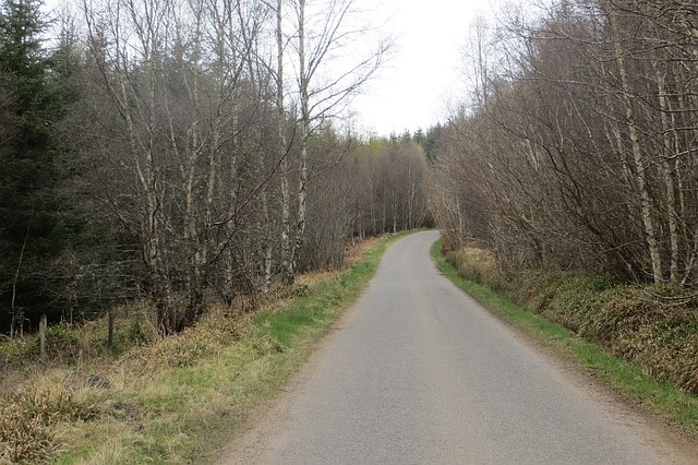
Deebank is a small village located in the Kincardineshire region of Scotland. Situated on the eastern coast of the country, it lies approximately 30 miles south of Aberdeen. The village is set amidst picturesque countryside, boasting stunning views of the North Sea and surrounding hills.

Despite its small size, Deebank has a rich history. It was originally established as a fishing village in the early 19th century and has since developed into a thriving community. The village is known for its close-knit community spirit and friendly atmosphere.

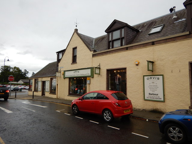
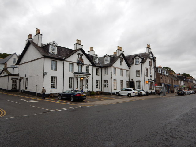
Deebank offers a range of amenities to its residents and visitors. The village has a local shop, a post office, and a primary school, providing essential services to the community. Additionally, there are several pubs and restaurants where locals and tourists can enjoy a meal or a drink.

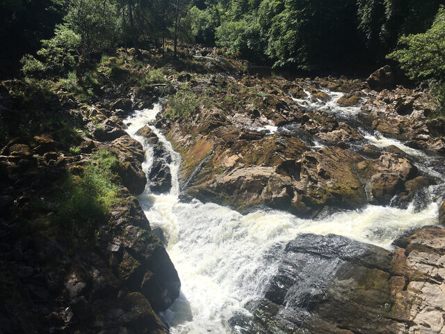
The natural beauty surrounding Deebank makes it an ideal location for outdoor enthusiasts. The nearby coast offers opportunities for coastal walks, fishing, and birdwatching. The rolling hills and countryside also provide excellent terrain for hiking and cycling.

For those seeking a taste of history, Deebank is within close proximity to several historical sites. Dunnottar Castle, a dramatic cliff-top fortress, is a short distance away and stands as a testament to Scotland's medieval past. The village is also conveniently located for exploring the charming coastal towns of Stonehaven and Montrose.

Overall, Deebank is a charming and scenic village that offers a peaceful escape for residents and visitors alike, with its natural beauty, friendly community, and proximity to historical sites and outdoor activities.

If you have any feedback on the listing, please let us know in the comments section below.
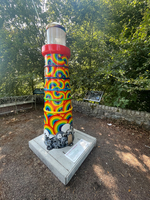
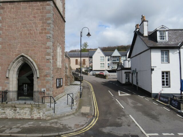
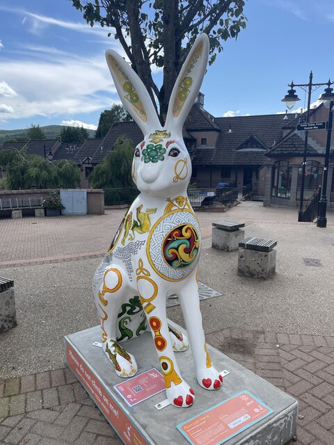
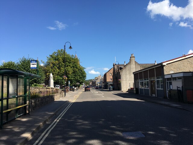
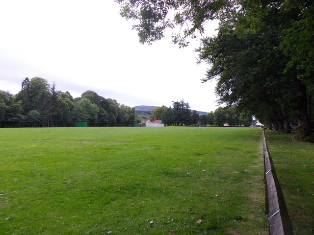
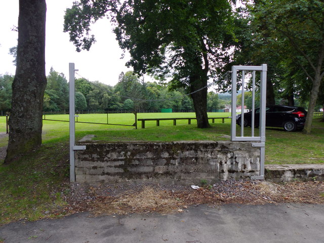
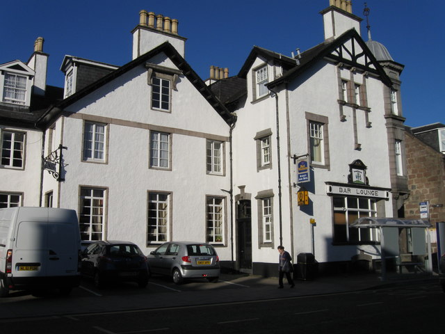
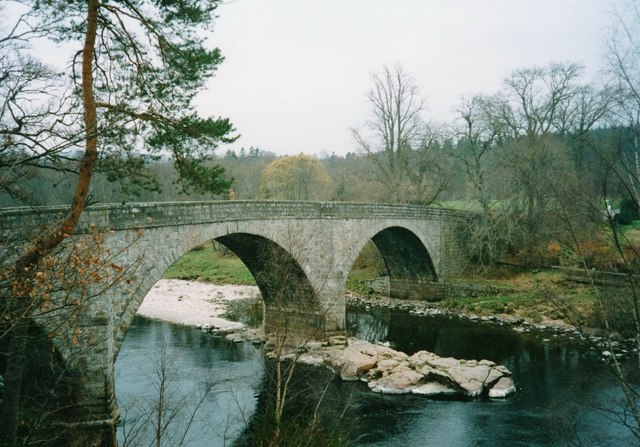
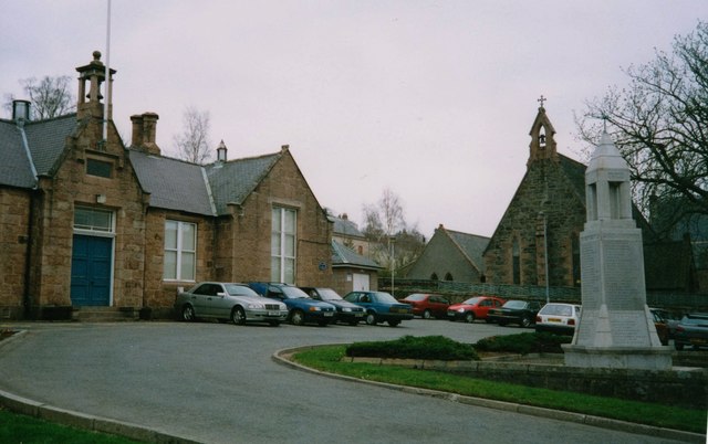
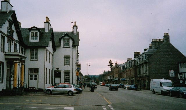
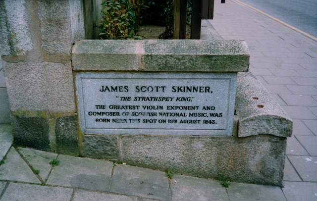
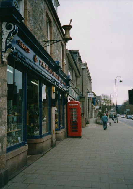
Deebank Images

Images are sourced within 2km of 57.046591/-2.497853 or Grid Reference NO6995. Thanks to Geograph Open Source API. All images are credited.

Light the North trail The Light the North lighthouse trail took people on a cultural tour of the north-east of Scotland, including Moray, Orkney and Shetland. Visitors discovered over 45 lighthouse sculptures designed and created by some of the area’s most talented artists.

The trail raised awareness and funds for the most significant cancer support charity in the region, CLAN Cancer Support. The charity shined a light of hope in the dark for anyone affected by cancer.
Light the North trail
The Light the North lighthouse trail took people on a cultural tour of the north-east of Scotland, including Moray, Orkney and Shetland. Visitors discovered over 45 lighthouse sculptures designed and created by some of the area’s most talented artists. The trail raised awareness and funds for the most significant cancer support charity in the region, CLAN Cancer Support. The charity shined a light of hope in the dark for anyone affected by cancer.
Mount Street, Banchory, near Aberdeen Mount Street is a narrow street in the town of Banchory, near Aberdeen.
Mount Street, Banchory, near Aberdeen
Mount Street is a narrow street in the town of Banchory, near Aberdeen.
Pictish Hare 
Art Trail 


Hare, there and everywhere!
Clan Cancer Support, the north-east’s leading cancer support charity, has partnered with Wild in Art once again to bring an exciting new art trail to the north-east, Moray, Orkney and Shetland.

The Big Hop Trail will take the public on another cultural tour of the north-east and the islands from July to September 2023, with hare sculptures designed and created by some of the country’s most talented artists.

The trail coincides with Clan’s 40th anniversary, with the 40 hares being the focal point to celebrate the charity’s commitment to supporting people affected by cancer. 

We chose the hare sculpture as they are an indigenous animal found in all parts of Clan’s geography. Much like our clients during their cancer journey, hares have to navigate rough and difficult terrain in order to survive. They are also adaptable, like our services team who deliver support to anyone affected by cancer. Most importantly, hares have incredible hearing. What better way to depict our lifeline listening and support service and the importance of being heard?
Pictish Hare
Art Trail Hare, there and everywhere! Clan Cancer Support, the north-east’s leading cancer support charity, has partnered with Wild in Art once again to bring an exciting new art trail to the north-east, Moray, Orkney and Shetland. The Big Hop Trail will take the public on another cultural tour of the north-east and the islands from July to September 2023, with hare sculptures designed and created by some of the country’s most talented artists. The trail coincides with Clan’s 40th anniversary, with the 40 hares being the focal point to celebrate the charity’s commitment to supporting people affected by cancer. We chose the hare sculpture as they are an indigenous animal found in all parts of Clan’s geography. Much like our clients during their cancer journey, hares have to navigate rough and difficult terrain in order to survive. They are also adaptable, like our services team who deliver support to anyone affected by cancer. Most importantly, hares have incredible hearing. What better way to depict our lifeline listening and support service and the importance of being heard?
A93 in Banchory
A93 in Banchory
The Falls of Feugh
The Falls of Feugh
Morrisons Carpark
Morrisons Carpark
Morrisons Car Park
Morrisons Car Park
Craig of Affrusk Wood A well forested bit of Highland Kincardineshire.
Craig of Affrusk Wood
A well forested bit of Highland Kincardineshire.
Bellfield Park playing field And sports pavilion.
Bellfield Park playing field
And sports pavilion.
Playing field loading bay Presumably for motorised mowing equipment?
Playing field loading bay
Presumably for motorised mowing equipment?
The Burnett Arms Hotel
Bridge over the River Dee, Banchory As seen from the riverside path to the south of Banchory Golf course
Bridge over the River Dee, Banchory
As seen from the riverside path to the south of Banchory Golf course
Council Offices and carpark, Banchory With St Ternan's Episcopal Church and the cenotaph to the right.
Council Offices and carpark, Banchory
With St Ternan's Episcopal Church and the cenotaph to the right.
High Street, Banchory Looking eastwards from its junction with Mount Street, and with Burnett Arms Hotel on the left.
High Street, Banchory
Looking eastwards from its junction with Mount Street, and with Burnett Arms Hotel on the left.
James Scott Skinner memorial plaque, Banchory 'The Strathspey King' was born near this spot on 15th August 1843.
James Scott Skinner memorial plaque, Banchory
'The Strathspey King' was born near this spot on 15th August 1843.
A chemist's shop on Bachory High Street (2003) Trading as 'Charles Michie', with a symbolic brass mortar and pestle mounted on the wall above the shop window.
A chemist's shop on Bachory High Street (2003)
Trading as 'Charles Michie', with a symbolic brass mortar and pestle mounted on the wall above the shop window.
Banchory - Orvis Country Clothing Store Bridge Street junction with Dee Street near the River Dee
Banchory - Orvis Country Clothing Store
Bridge Street junction with Dee Street near the River Dee
Banchory - High Street Burnett Arms <span class="nowrap"><a title="http://www.burnettarms.co.uk/" rel="nofollow ugc noopener" href="http://www.burnettarms.co.uk/">Link</a><img style="margin-left:2px;" alt="External link" title="External link - shift click to open in new window" src="https://s1.geograph.org.uk/img/external.png" width="10" height="10"/></span>
Banchory - High Street
Burnett Arms LinkExternal link
Show me another place!

Deebank is located at Grid Ref: NO6995 (Lat: 57.046591, Lng: -2.497853)

Unitary Authority: Aberdeenshire

Police Authority: North East

What 3 Words

///warns.corkscrew.triathlon. Near Banchory, Aberdeenshire

Related Wikis

Braehead, Banchory

Braehead, Banchory is a proposed major housing development to the south of Banchory, Aberdeenshire, Scotland. The site is home to Braehead farm, formerly...

Water of Feugh

The Water of Feugh (pronounced:few-ikh) is a stream in Aberdeenshire that is the largest tributary to the River Dee. This stream rises in the Grampian...

Dee Street Halt railway station

Dee Street Halt railway station was a short-lived stopping place on the Aberdeen and Ballater railway branch. It was situated at 17 miles 30 chains (28...

Banchory railway station

Banchory railway station was situated on the Aberdeen and Ballater branch (the Deeside Line). It was situated at 16 miles 72 chains (27.2 km) from Aberdeen...

Nearby Amenities

Located within 500m of 57.046591,-2.497853
Post Box
Brand: Royal Mail
Brand Wikidata: Q638098
Check Date: 2021-12-12
Collection Times: Mo-Fr 09:00, Sa 07:00
Manufacturer: Carron Company
Operator: Royal Mail
Operator Wikidata: Q638098
Post Box Design: type_b
Post Box Type: pillar
Ref: AB31 540
Royal Cypher: scottish_crown
Source: survey
Lat/Long: 57.050522/-2.5017815
Post Box
Brand: Royal Mail
Brand Wikidata: Q638098
Check Date: 2021-11-02
Collection Times: Mo-Fr 09:00; Sa 07:00; Su off
Manufacturer: Carronade
Operator: Royal Mail
Operator Wikidata: Q638098
Post Box Type: lamp
Ref: AB31 225
Royal Cypher: scottish_crown
Source: survey
Lat/Long: 57.0463849/-2.497174
Vending Machine
Check Date: 2022-05-15
Vending: parking_tickets
Lat/Long: 57.0504544/-2.5010433
Falls of Feugh
Name Sco: Faals o Feuch
Waterway: waterfall
Lat/Long: 57.0448596/-2.4929677
Charging Station
Lat/Long: 57.0506418/-2.4998667
Waste Basket
Operator: Aberdeenshire Council
Lat/Long: 57.0506364/-2.4994176
Power: pole
Lat/Long: 57.042421/-2.4990017
Power: pole
Lat/Long: 57.0428147/-2.497968
Power: pole
Lat/Long: 57.0431673/-2.4970024
Power: pole
Lat/Long: 57.04356/-2.4959423
Power: pole
Lat/Long: 57.0439187/-2.4950107
Power: pole
Lat/Long: 57.0421208/-2.4985123
Bench
Lat/Long: 57.0457162/-2.4909882
Gambling
Deeside Bookmakers
Lat/Long: 57.0504166/-2.5020577
Stop
Direction: forward
Lat/Long: 57.0502923/-2.501792
Generator Method: photovoltaic
Generator Output Electricity: small_installation
Generator Source: solar
Generator Type: solar_photovoltaic_panel
Location: roof
Power: generator
Lat/Long: 57.0509894/-2.4989589
Bicycle Parking
Lat/Long: 57.0454486/-2.4920245
Entrance: yes
Lat/Long: 57.0455088/-2.4920454
Dee Street
Historic Railway: station
Wikidata: Q18350919
Lat/Long: 57.0500045/-2.5019026
Addr Housenumber: 9
Addr Street: Dee Street
Entrance: yes
Lat/Long: 57.0485796/-2.5008107
Addr Housenumber: 6,7,8
Addr Street: Dee Street
Entrance: yes
Lat/Long: 57.0486671/-2.5008309
Addr Housenumber: 10
Addr Street: Dee Street
Entrance: yes
Lat/Long: 57.0485384/-2.5008683
The data included in this document is from www.openstreetmap.org. The data is made available under ODbL.

Have you been to Deebank?

Leave your review of Deebank below (or comments, questions and feedback).