Church Wood
Wood, Forest in Warwickshire
England
Church Wood
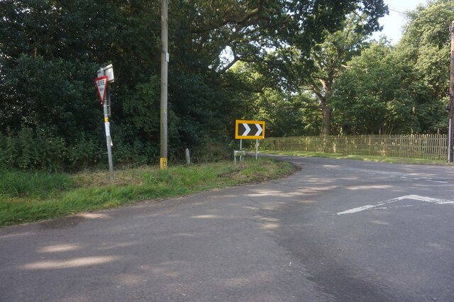
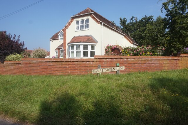
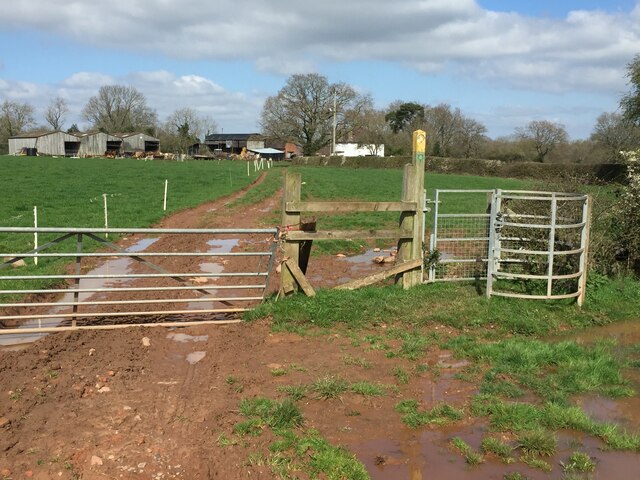
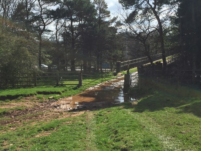
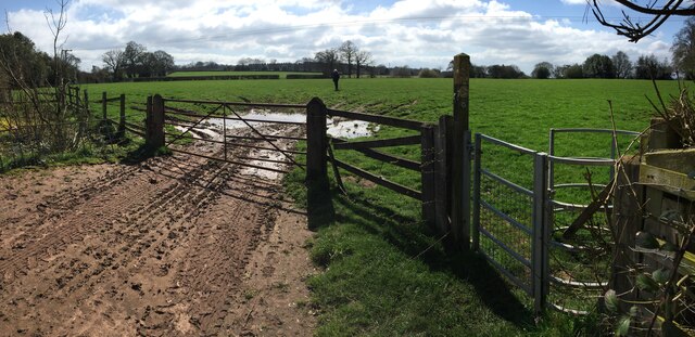
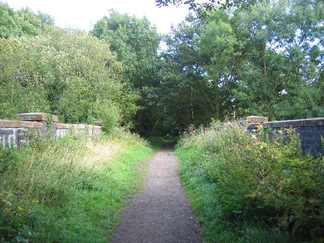
Church Wood is a picturesque woodland located in Warwickshire, England. Covering an area of approximately 50 acres, this beautiful forest is known for its rich biodiversity and tranquil atmosphere. The wood is situated near the village of Church Lawford, and its entrance is marked by a charming wooden gate.
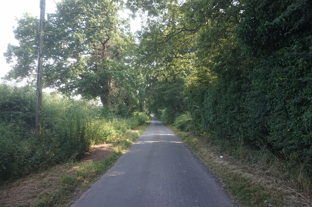
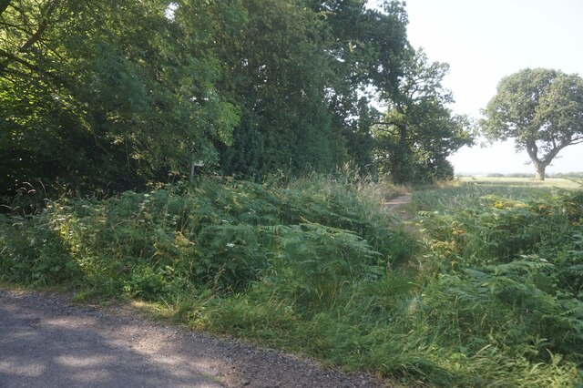
As visitors step into Church Wood, they are immediately greeted by a canopy of mature trees, including oak, ash, and beech. The forest floor is covered with a carpet of bluebells during the spring season, creating a stunning display of vibrant colors. The wood is also home to a variety of wildlife, including deer, foxes, and a wide range of bird species.
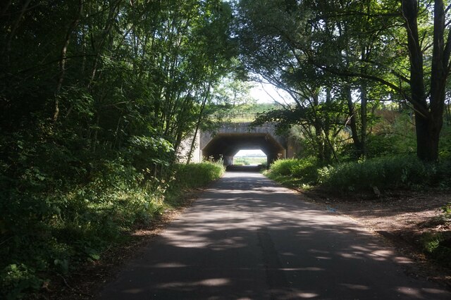
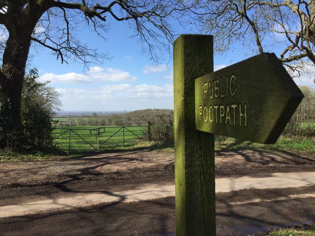
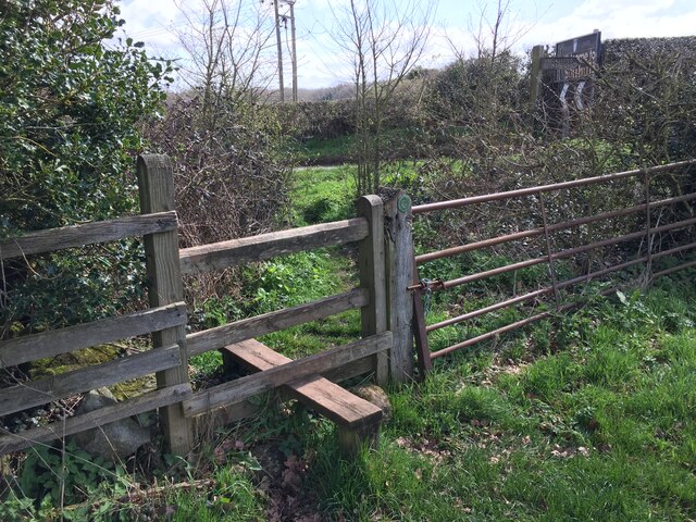
Several well-maintained footpaths wind their way through Church Wood, offering visitors the opportunity to explore its natural beauty. The pathways are generally easy to navigate, making it accessible for people of all ages and abilities. Along the trails, visitors can discover hidden clearings, babbling streams, and ancient trees that have stood for centuries.
Church Wood is not only a popular destination for nature lovers and photographers, but it also holds historical significance. The wood is believed to have been part of the ancient hunting grounds of the local lords, dating back to the medieval period. It is a place where visitors can immerse themselves in nature while also connecting with the area's rich heritage.
Overall, Church Wood in Warwickshire is a captivating woodland that offers a peaceful escape from the bustling city life. With its diverse flora and fauna, well-maintained footpaths, and historical significance, it is a must-visit destination for anyone seeking an enchanting natural experience.
If you have any feedback on the listing, please let us know in the comments section below.
Church Wood Images
Images are sourced within 2km of 52.453602/-1.6274672 or Grid Reference SP2584. Thanks to Geograph Open Source API. All images are credited.


Church Wood is located at Grid Ref: SP2584 (Lat: 52.453602, Lng: -1.6274672)
Unitary Authority: Solihull
Police Authority: West Midlands
What 3 Words
///lend.looked.soak. Near Meriden, West Midlands
Nearby Locations
Related Wikis

Walsh Hall, Meriden
Walsh Hall is a six-bedroom, Grade II* listed house on Walsh Lane, Meriden, West Midlands (originally Warwickshire), England.It comprises a 16 foot (4...
Meriden Rural District
The Meriden Rural District was a rural district of Warwickshire, England, which existed between 1894 and 1974. It was named after the village of Meriden...
Coventry Way
The Coventry Way is a 40-mile (64 km) long-distance footpath in central England that starts and finishes in Meriden. It forms a circular route around the...
Maxstoke
Maxstoke is a hamlet and civil parish in the North Warwickshire district of the county of Warwickshire, England. It is situated approximately 2.5 miles...

Maxstoke air crash
The Maxstoke air crash occurred on the 19 August 1918. A No. 14 Aircraft Acceptance Park Handley Page O/400 of the Royal Air Force took off from Castle...
Forest of Arden Hotel and Country Club
The Forest of Arden Hotel & Country Club is a hotel and country club complex in England. Operated by Marriott Hotels & Resorts, it is located 4 miles...
English Open
The English Open was a professional golf tournament held in England. First played in 1988, it was an annual event on the European Tour until 2002. After...
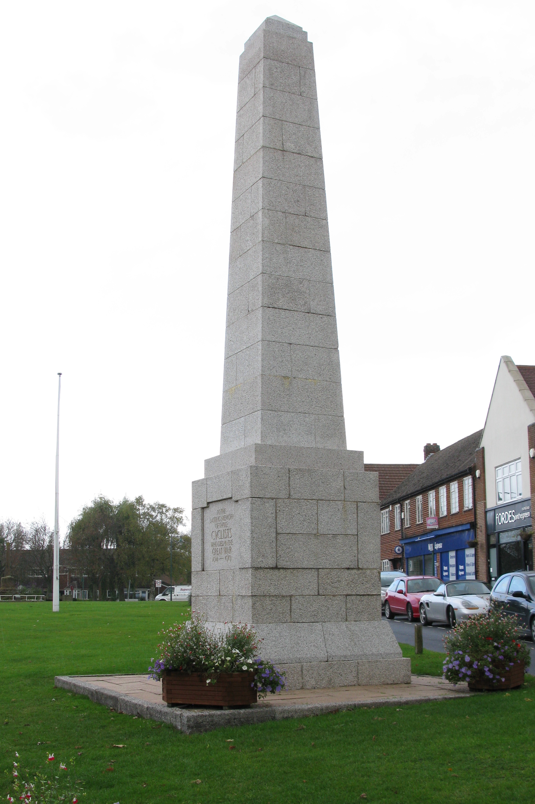
Cyclists War Memorial
The Cyclists War Memorial is a war memorial on the village green in Meriden, West Midlands. The village between Coventry and Birmingham was long reputed...
Nearby Amenities
Located within 500m of 52.453602,-1.6274672Have you been to Church Wood?
Leave your review of Church Wood below (or comments, questions and feedback).