Clough Wood
Wood, Forest in Derbyshire Derbyshire Dales
England
Clough Wood
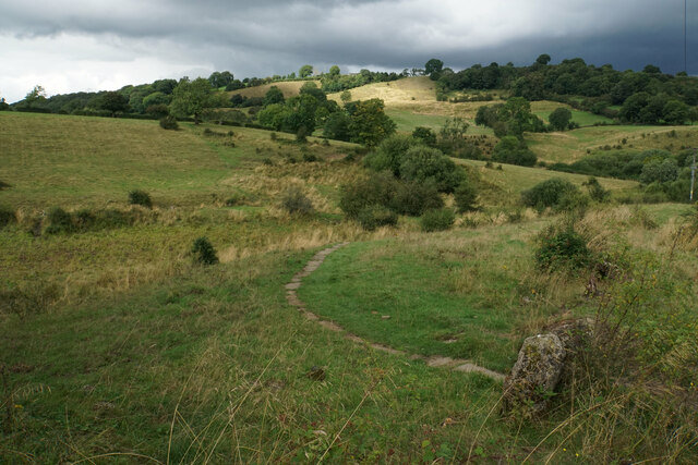
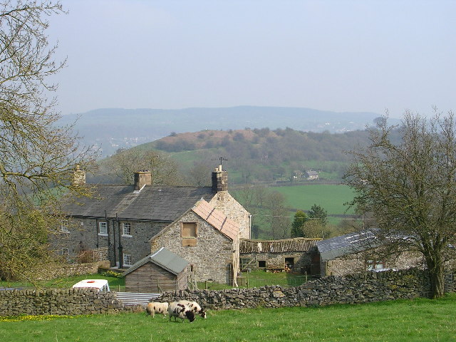
Clough Wood is a picturesque woodland located in Derbyshire, England. Situated near the village of Clough, the wood covers an area of approximately 100 acres, creating a serene and tranquil environment for visitors to enjoy.
The wood is primarily comprised of native broadleaf trees such as oak, beech, and ash, which provide a diverse and rich habitat for a variety of flora and fauna. The lush undergrowth is filled with bluebells, wild garlic, and ferns, creating a vibrant and colorful landscape during the spring and summer months.
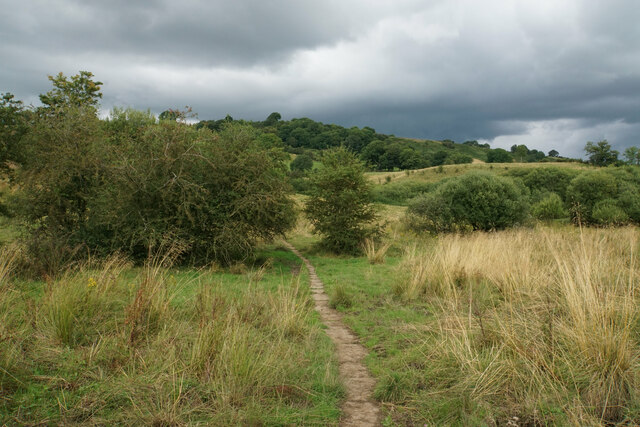
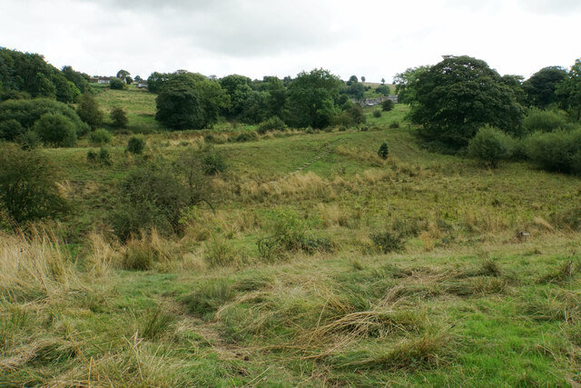
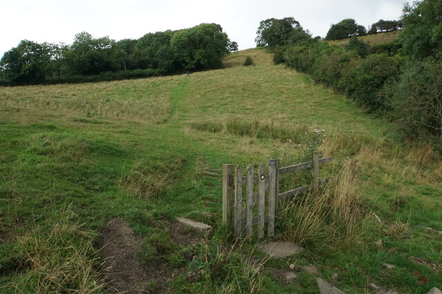
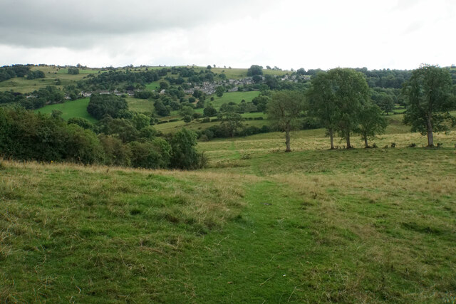
Clough Wood is intersected by several well-maintained trails, allowing visitors to explore the woodland at their own pace. The pathways meander through the trees, offering breathtaking views of the surrounding countryside and providing ample opportunities for birdwatching and wildlife spotting.
The wood is also home to a diverse range of wildlife, including deer, foxes, badgers, and a wide variety of bird species. Nature enthusiasts will be delighted by the chance to see rare and elusive creatures in their natural habitat.
In addition to its natural beauty, Clough Wood also holds historical significance. The wood was once part of a hunting estate owned by the local nobility and remnants of old hunting lodges and stone walls can still be seen scattered throughout the area.
Overall, Clough Wood is a hidden gem in Derbyshire, offering both beauty and history to visitors. Whether you are looking for a peaceful walk in nature or a chance to observe wildlife, this woodland is a must-visit destination for nature lovers and history enthusiasts alike.
If you have any feedback on the listing, please let us know in the comments section below.
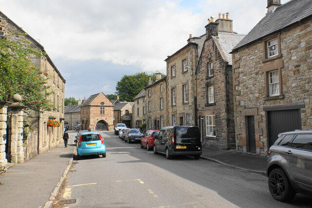
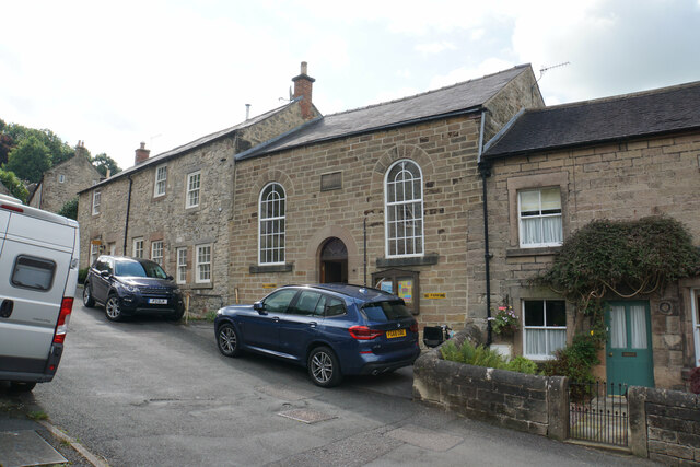
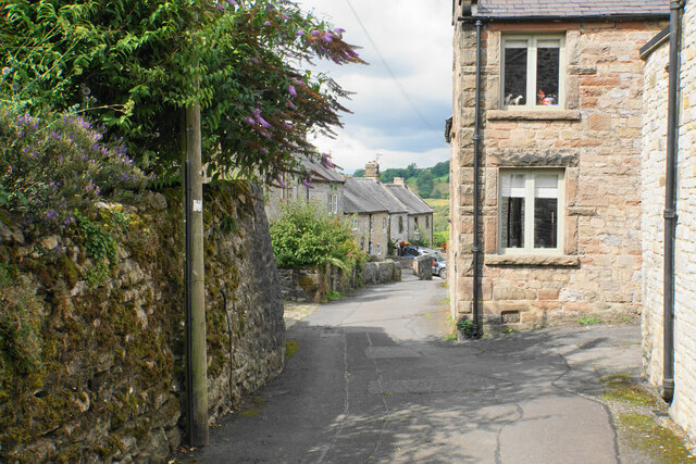
Clough Wood Images
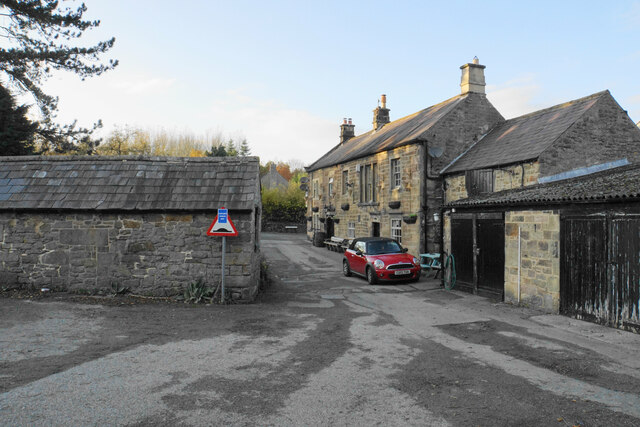
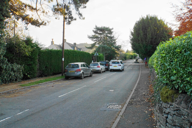
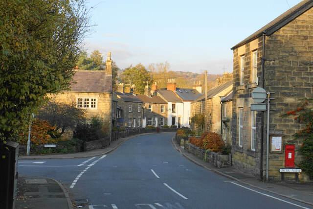
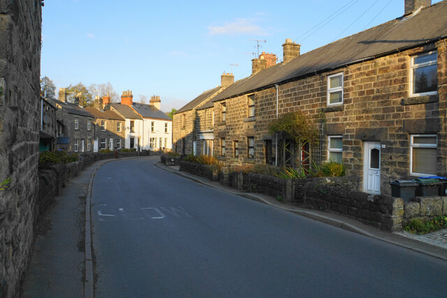
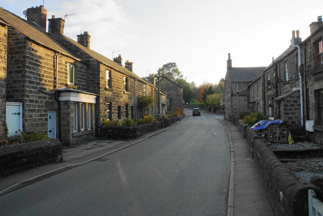
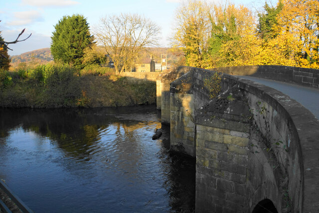
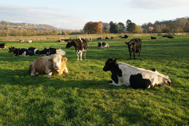
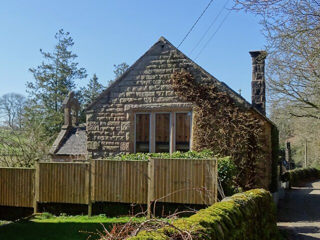
Images are sourced within 2km of 53.151647/-1.6216224 or Grid Reference SK2561. Thanks to Geograph Open Source API. All images are credited.


Clough Wood is located at Grid Ref: SK2561 (Lat: 53.151647, Lng: -1.6216224)
Administrative County: Derbyshire
District: Derbyshire Dales
Police Authority: Derbyshire
What 3 Words
///mailing.videos.tricks. Near Matlock, Derbyshire
Nearby Locations
Related Wikis

Old Millclose Mine
Old Millclose Mine was a lead mine near Wensley, in Derbyshire, England. The engine house of the mine survives as a ruin; it is a scheduled monument....
Wensley, Derbyshire
Wensley is a small village in South Darley parish in Derbyshire of limestone and gritstone properties mainly arranged along the single road which zig-zags...
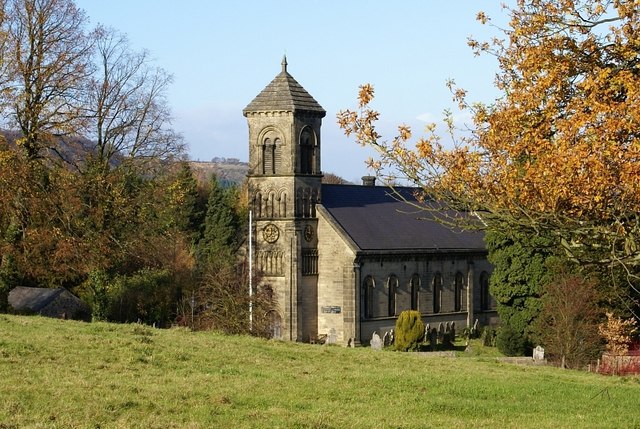
St Mary the Virgin's Church, South Darley
St Mary the Virgin's Church, South Darley is a Grade II listed parish church in the Church of England in South Darley, Derbyshire. At the entrance to the...

South Darley
South Darley is a civil parish in the Derbyshire Dales. It is a largely rural parish and covers the villages of Darley Bridge, Wensley and the hamlets...
Nearby Amenities
Located within 500m of 53.151647,-1.6216224Have you been to Clough Wood?
Leave your review of Clough Wood below (or comments, questions and feedback).