Well Head Wood
Wood, Forest in Yorkshire
England
Well Head Wood
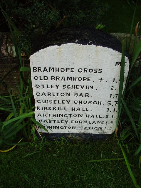
Well Head Wood is a picturesque woodland located in the county of Yorkshire, England. Situated in the southern part of the county, it covers an area of approximately 100 acres. The wood is part of a larger forested area, known as Well Head Forest, which stretches across the region.
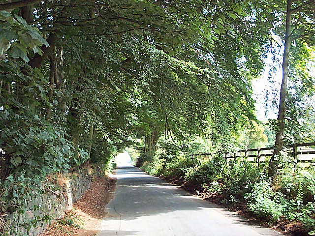
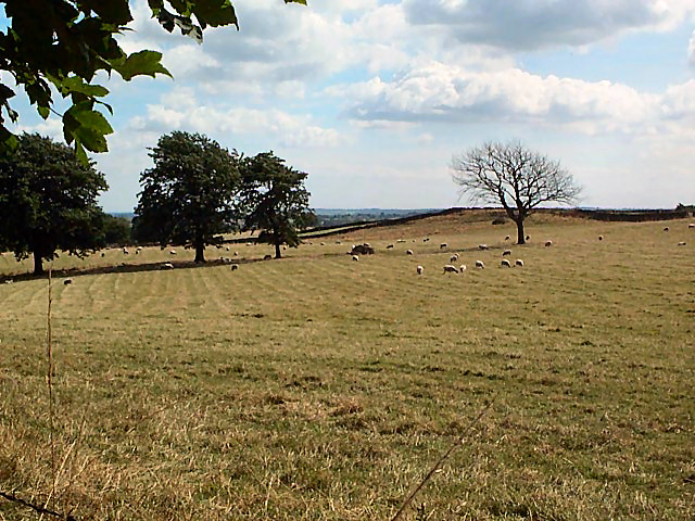
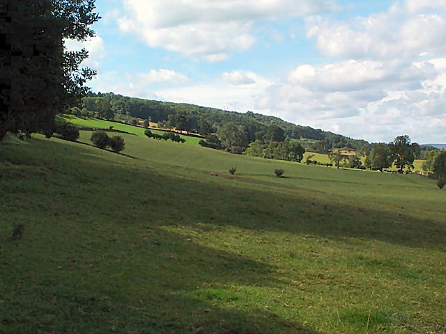
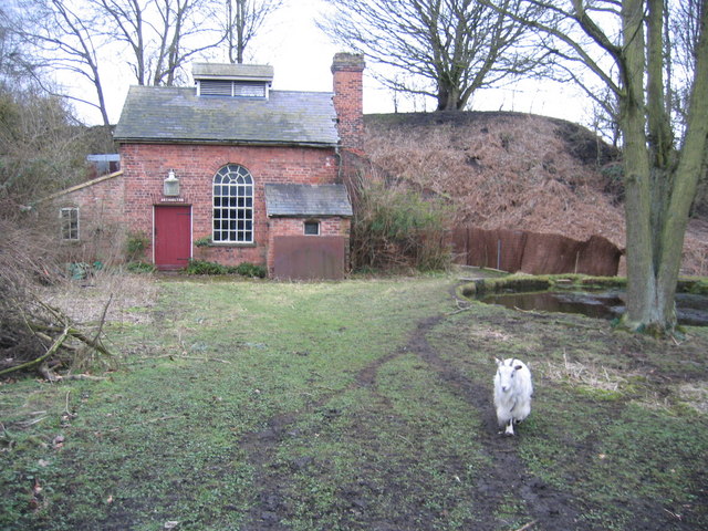
The woodland is renowned for its natural beauty and diverse ecosystem. It is primarily composed of deciduous trees, such as oak, beech, and birch, which provide a vibrant display of colors during the autumn months. The dense canopy of trees creates a tranquil and peaceful atmosphere, making it a popular destination for nature enthusiasts and hikers.
Well Head Wood is home to a wide range of wildlife, with various species of birds, mammals, and insects inhabiting the area. Visitors may have the opportunity to spot woodland creatures such as deer, foxes, and squirrels, as well as a variety of bird species including woodpeckers and owls.
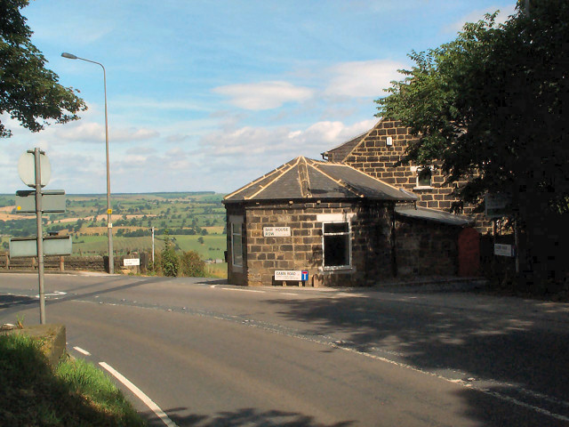
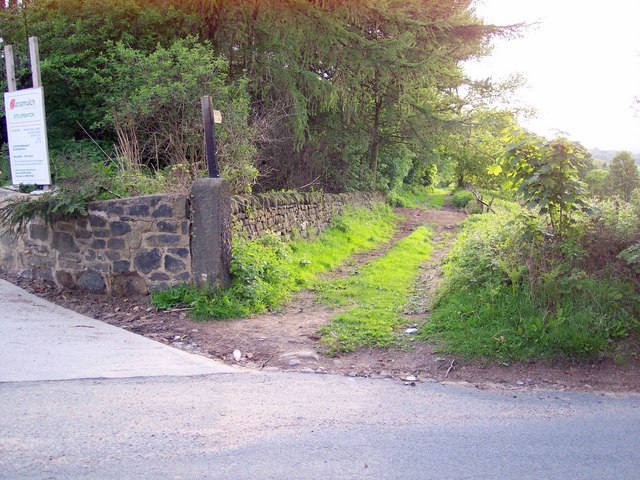
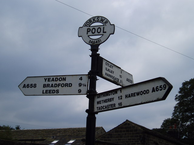
The wood is crisscrossed with well-maintained footpaths, allowing visitors to explore the area and take in its natural beauty. There are also several designated picnic areas, making it an ideal spot for a family outing or a peaceful retreat. Additionally, the wood is well-connected to nearby villages and towns, providing easy access for visitors.
Overall, Well Head Wood offers a tranquil escape from the hustle and bustle of everyday life, providing visitors with the opportunity to immerse themselves in nature and enjoy the beauty of Yorkshire's woodland landscape.
If you have any feedback on the listing, please let us know in the comments section below.
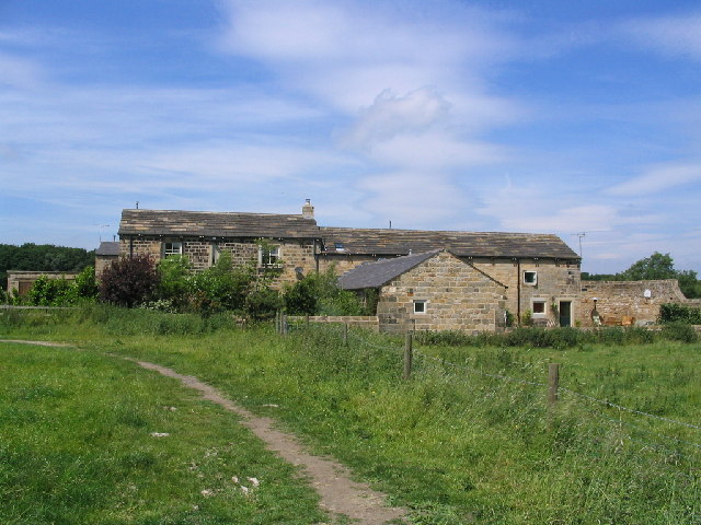
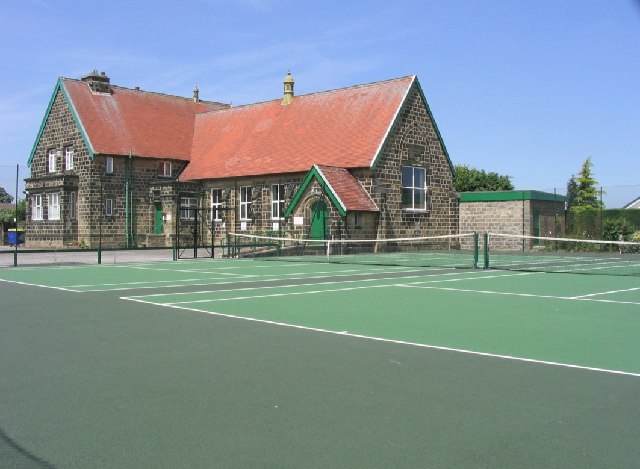
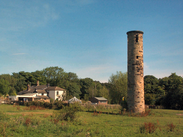
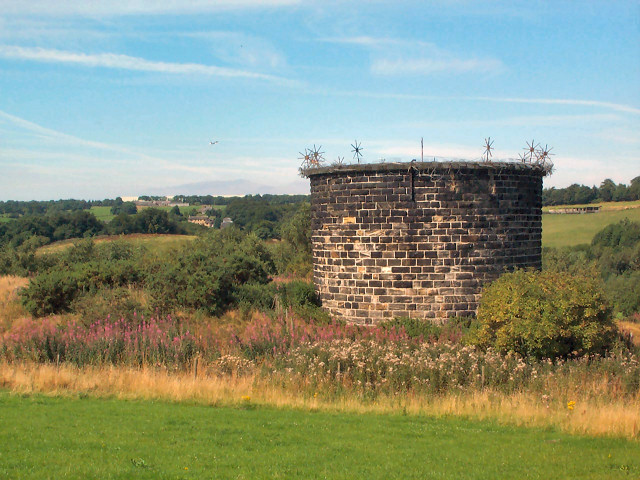
Well Head Wood Images
Images are sourced within 2km of 53.885992/-1.6156203 or Grid Reference SE2543. Thanks to Geograph Open Source API. All images are credited.
Well Head Wood is located at Grid Ref: SE2543 (Lat: 53.885992, Lng: -1.6156203)
Division: West Riding
Unitary Authority: Leeds
Police Authority: West Yorkshire
What 3 Words
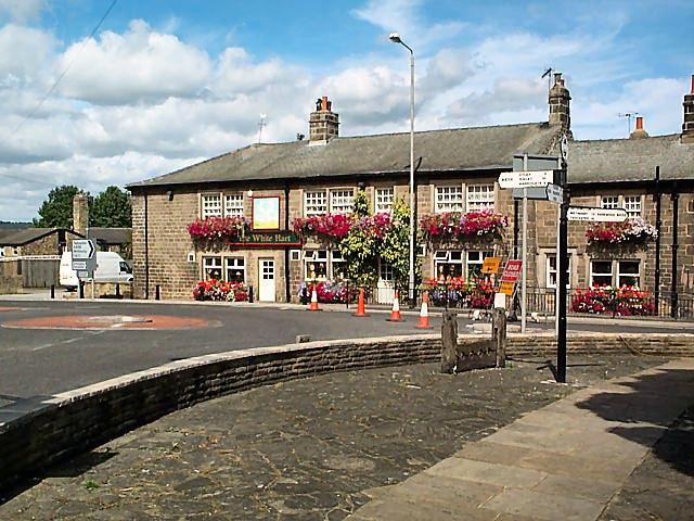
///crest.snug.lakeside. Near Bramhope, West Yorkshire
Nearby Locations
Related Wikis

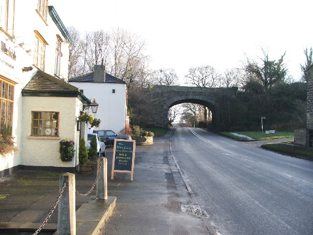
Bramhope Tunnel
Bramhope Tunnel is on the Harrogate Line between Horsforth station and the Arthington Viaduct in West Yorkshire, England. Services through the railway...

Bramhope
Bramhope is a village and civil parish in the City of Leeds metropolitan borough, West Yorkshire, England, north of Holt Park and north east of Cookridge...

A660 road
The A660 is a major road in the Leeds and Bradford districts of West Yorkshire, England that runs from Leeds city centre to Burley-in-Wharfedale where...
Arthington railway station
Arthington railway station served the village of Arthington in the English county of West Yorkshire, near the North Yorkshire town of Harrogate. ��2...

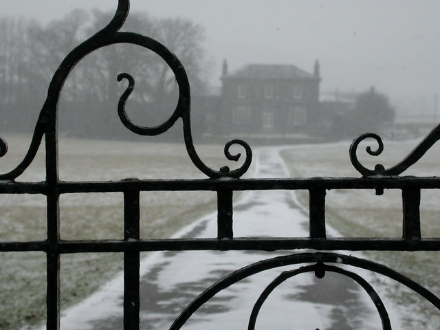
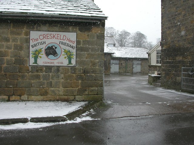
Creskeld Hall
Creskeld Hall is a grade II listed Country House located in Arthington, near Otley, West Yorkshire, England. == Etymology == The place-name is first attested...

Pool-in-Wharfedale railway station
Pool-in-Wharfedale railway station was a railway station serving the village of Pool-in-Wharfedale in West Yorkshire, England. It was opened by the North...

Pool-in-Wharfedale
Pool-in-Wharfedale or Pool in Wharfedale, usually abbreviated to Pool, is a village and civil parish in Lower Wharfedale, West Yorkshire, England, 10 miles...

Breary Marsh
Breary Marsh is a Local Nature Reserve and Site of Special Scientific Interest situated adjacent to Golden Acre Park in Leeds, West Yorkshire, England...
Nearby Amenities
Located within 500m of 53.885992,-1.6156203Have you been to Well Head Wood?
Leave your review of Well Head Wood below (or comments, questions and feedback).