Gray's Plantation
Wood, Forest in Yorkshire Hambleton
England
Gray's Plantation
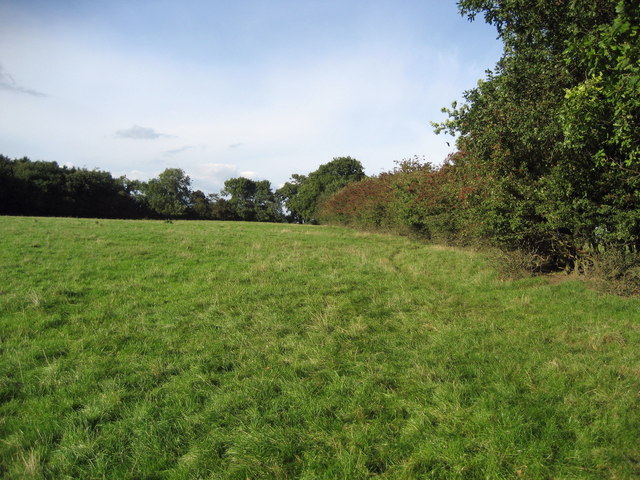
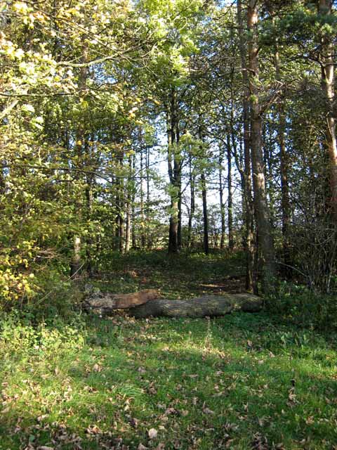
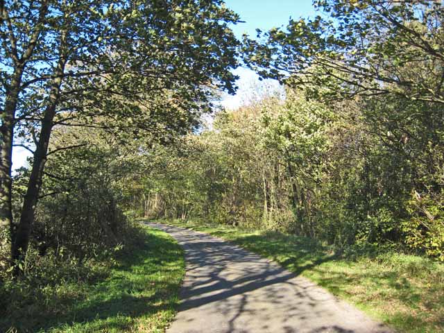
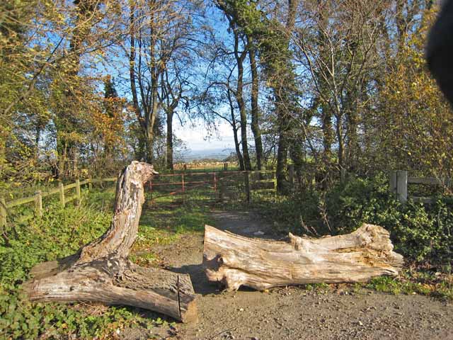
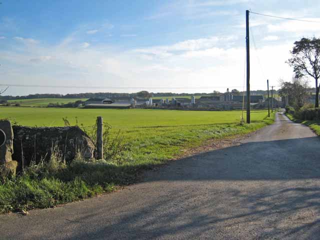
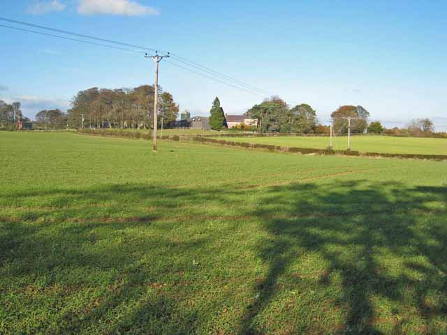
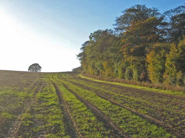
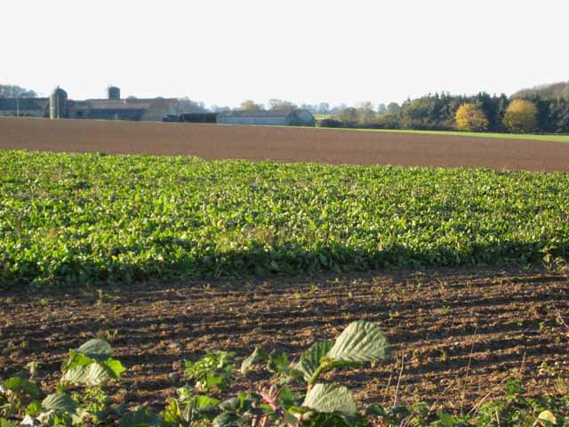
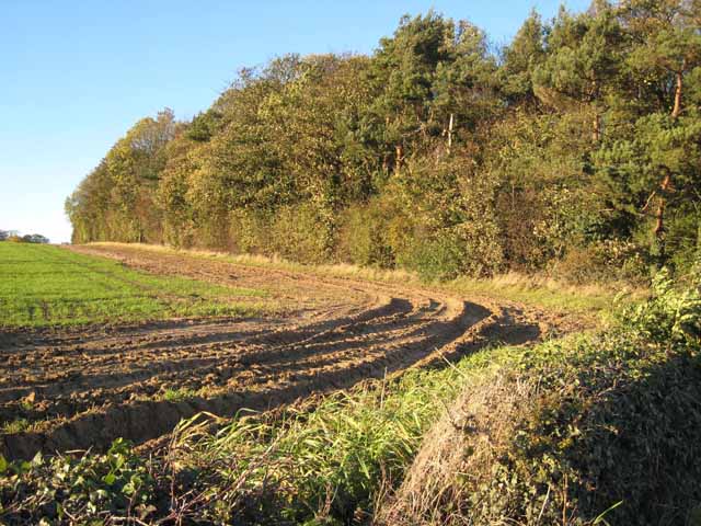
Gray's Plantation is a charming woodland area located in the picturesque county of Yorkshire, England. Situated in the heart of the region, this plantation covers a vast expanse of land and is renowned for its natural beauty and peaceful atmosphere. The plantation is predominantly composed of various species of trees, creating a dense and lush forest that is a haven for wildlife and nature enthusiasts alike.
The woodland is named after the Gray family, who were the original owners and custodians of the plantation. The area has a rich history, dating back several centuries, and has been well-maintained to preserve its original charm and character. It offers visitors a serene and tranquil environment, away from the hustle and bustle of urban life.
Walking through Gray's Plantation, visitors are greeted by a network of well-marked trails that wind through the forest, offering stunning views of the surrounding countryside. The plantation is home to a diverse range of flora and fauna, including ancient oak trees, vibrant wildflowers, and a variety of bird species.
In addition to its natural beauty, Gray's Plantation offers recreational activities for visitors of all ages. There are designated picnic areas and open spaces for families to enjoy, as well as opportunities for birdwatching, wildlife spotting, and photography. The plantation also hosts educational programs and guided tours, providing visitors with an opportunity to learn about the local ecosystem and conservation efforts.
Overall, Gray's Plantation is a hidden gem in Yorkshire, offering a peaceful retreat for those seeking a connection with nature. Its stunning woodland scenery, rich biodiversity, and range of recreational activities make it a must-visit destination for both locals and tourists.
If you have any feedback on the listing, please let us know in the comments section below.
Gray's Plantation Images
Images are sourced within 2km of 54.239233/-1.6130988 or Grid Reference SE2582. Thanks to Geograph Open Source API. All images are credited.


Gray's Plantation is located at Grid Ref: SE2582 (Lat: 54.239233, Lng: -1.6130988)
Division: North Riding
Administrative County: North Yorkshire
District: Hambleton
Police Authority: North Yorkshire
What 3 Words
///stint.clasps.rewarding. Near Masham, North Yorkshire
Nearby Locations
Related Wikis

Well, North Yorkshire
Well is a small village and civil parish in the former Hambleton District of North Yorkshire, England. It is about 4 miles south of Bedale, near Snape...
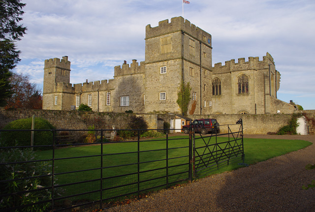
Snape Castle
Snape Castle is a semi-fortified manor house in the village of Snape, North Yorkshire, England. The castle is 3 miles (5 km) south of Bedale and 19 miles...

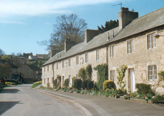
Snape, North Yorkshire
Snape is a large village in the civil parish of Snape with Thorp in the former Hambleton District of North Yorkshire, England, located about 3 miles (5...

Snape with Thorp
Snape with Thorp is a civil parish in the Hambleton District of North Yorkshire, England. It comprises the village of Snape and the hamlet of Thorp. The...
Nearby Amenities
Located within 500m of 54.239233,-1.6130988Have you been to Gray's Plantation?
Leave your review of Gray's Plantation below (or comments, questions and feedback).