Debden Green

Settlement in Essex Uttlesford

England

Debden Green

Debden Cross crossroads
Debden Cross crossroads Credit: John V Nicholls

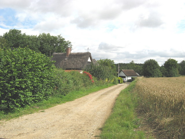
Debden Green is a small village located in the Epping Forest district of Essex, England. Situated approximately 20 miles northeast of central London, it is nestled amidst the picturesque countryside of the region. The village is part of the larger Debden civil parish, which also includes Debden, Loughton, and Buckhurst Hill.

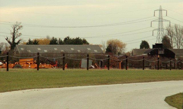
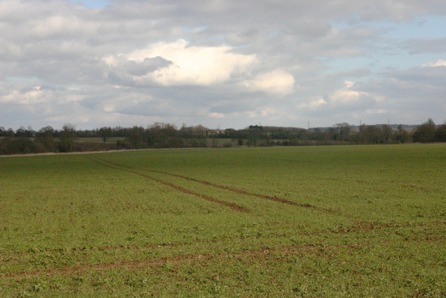
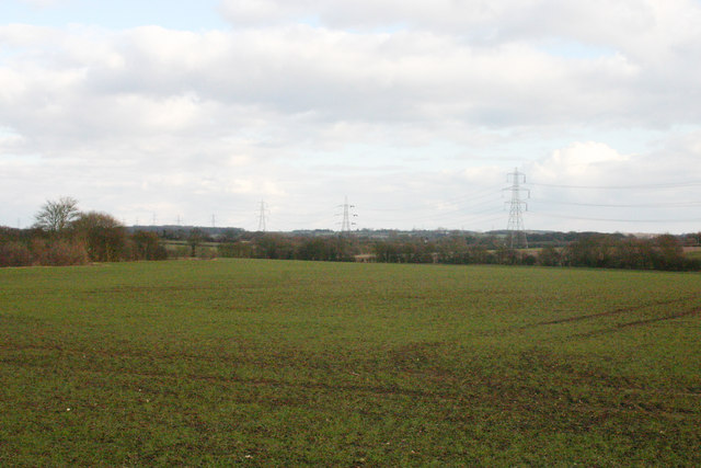
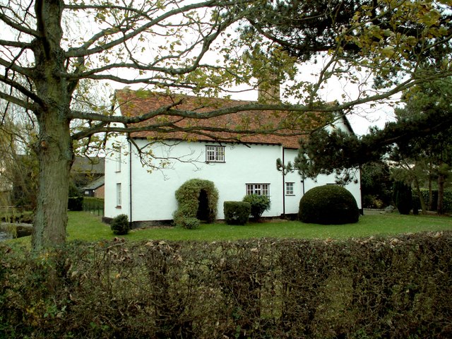
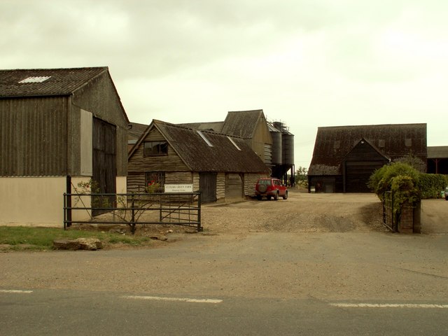
Historically, Debden Green was an agricultural community, with farming and forestry being the main sources of livelihood for its residents. Over time, it has seen a gradual shift towards residential development, with a mix of traditional and modern houses now dotting the landscape. Despite this growth, the village has managed to retain its rustic charm and peaceful ambiance.

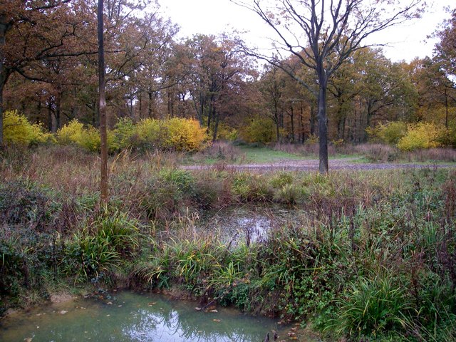
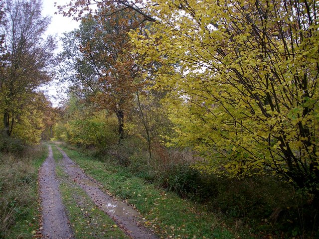
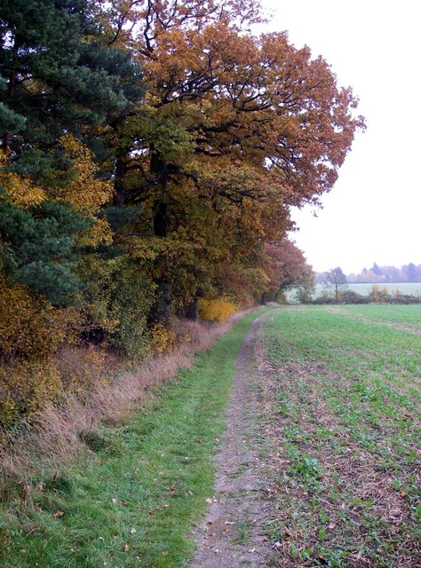
Debden Green benefits from its proximity to Epping Forest, a vast ancient woodland that provides ample opportunities for outdoor activities such as walking, cycling, and horse riding. The forest also serves as a popular destination for picnics and nature enthusiasts looking to explore the diverse wildlife and flora in the area.

The village is well-connected to nearby towns and cities, with excellent transport links. The closest railway station is Debden, offering regular services to London Liverpool Street, making it a convenient location for commuters.

Debden Green boasts a close-knit community, with a village hall serving as a hub for various social and recreational activities. There are also several local amenities, including a primary school, local shops, and a pub, providing convenience for the residents.

Overall, Debden Green offers a peaceful and idyllic setting, making it an attractive place to live for those seeking a balance between rural tranquility and accessibility to urban amenities.

If you have any feedback on the listing, please let us know in the comments section below.
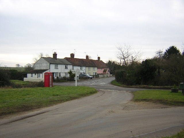
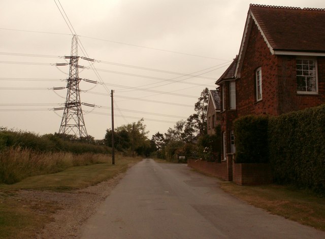
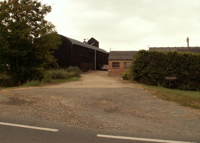
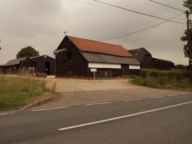
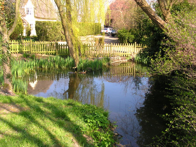
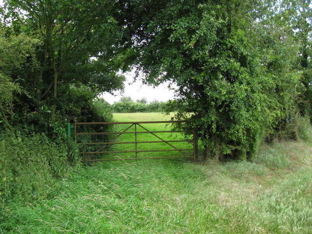
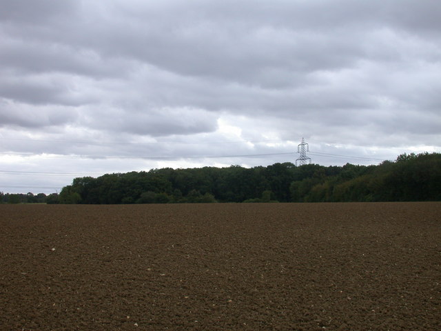
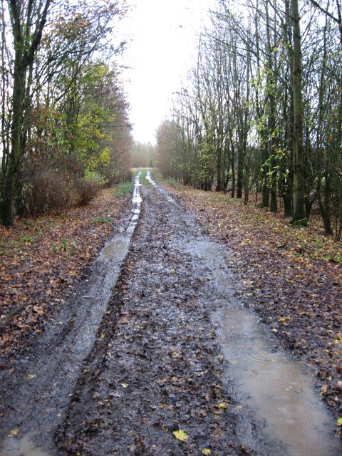
Debden Green Images

Images are sourced within 2km of 51.968083/0.295668 or Grid Reference TL5732. Thanks to Geograph Open Source API. All images are credited.

Debden Cross crossroads
Country Lane near Debden Green, Essex This lane leads up to Monk's Farm.
Country Lane near Debden Green, Essex
This lane leads up to Monk's Farm.
Wieldbarns Farm, Debden Green, Essex
Smiths Green Farm, Debden, Essex
Rowney wood - the centre Eight radially arranged rides meet at this point beside a pond.
Rowney wood - the centre
Eight radially arranged rides meet at this point beside a pond.
Rowney wood main ride. The main ride on the eastern side of the wood, amidst an area where the conifers have been removed to allow broadleaved trees to take their rightful place.
Rowney wood main ride.
The main ride on the eastern side of the wood, amidst an area where the conifers have been removed to allow broadleaved trees to take their rightful place.
Where arable and woodland meet. This edge of Rowney wood is deceptive, though the trees are old, this area of the wood is secondary woodland (most of the rest is ancient).
Where arable and woodland meet.
This edge of Rowney wood is deceptive, though the trees are old, this area of the wood is secondary woodland (most of the rest is ancient).
Waterhall Farm on Thaxted Road
Woodham's Farm
Woodham's Farm
Conyards Farmhouse pond
Barn conversion
Barn conversion
Farm buildings
Farm buildings
Grass field and gate near Cutler's Green An idyllic country scene - but right underneath the descent path for aircraft landing at nearby Stansted Airport.
Grass field and gate near Cutler's Green
An idyllic country scene - but right underneath the descent path for aircraft landing at nearby Stansted Airport.
Pylon over Littley Wood East and Grove Spring The edge of nearer wood (Littley Wood East) is hard to make out: it is just about in line with the pylon
Pylon over Littley Wood East and Grove Spring
The edge of nearer wood (Littley Wood East) is hard to make out: it is just about in line with the pylon
A wet November day The farm track by Woodhams Farm on a wet day in late November.
A wet November day
The farm track by Woodhams Farm on a wet day in late November.
Open countryside near Debden Taken from the Harcamlow Way footpath
Open countryside near Debden
Taken from the Harcamlow Way footpath
Countryside north-west of Thaxted Taken from the Harcamlow Way footpath.
Countryside north-west of Thaxted
Taken from the Harcamlow Way footpath.
Bench on Debden Green
Show me another place!

Debden Green is located at Grid Ref: TL5732 (Lat: 51.968083, Lng: 0.295668)

Administrative County: Essex

District: Uttlesford

Police Authority: Essex

What 3 Words

///single.scornful.factually. Near Thaxted, Essex

Nearby Locations

Beck's Wood Debden Green

Related Wikis

Debden Green

Debden Green is a hamlet in the civil parish of Debden, in the Uttlesford district of Essex, England and 2 miles (3 km) west from the town of Thaxted....

Hamperden End

Hamperden End is a hamlet in the civil parish of Debden, in the Uttlesford district, in the county of Essex, England. Debden Green is north east and Widdington...

Debden, Uttlesford

Debden is a small rural village in the Uttlesford district of Essex in the East of England. It is located 4 miles (6 km) from Saffron Walden and 17 miles...

Carver Barracks

Carver Barracks is a British Army base on the former site of RAF Debden, approximately 1 mile north of the village of Debden, in Essex. The nearest town...

Debden Windmill

Debden Windmill is a grade II listed Tower mill at Debden, Essex, England which has been converted to residential use. == History == Debden Windmill was...

Cutlers Green

Cutlers Green is a hamlet in the civil parish of Thaxted, and the Uttlesford district of Essex, England. The hamlet is 1 mile (1.6 km) west from the town...

Elsenham & Thaxted Light Railway

The Elsenham & Thaxted Light Railway was a 5+1⁄2-mile (9 km) long light railway in Essex, England. The line was sanctioned in 1906, although did not finally...

Rook End

Rook End is a hamlet near the village of Widdington, in the Uttlesford district, in the county of Essex, England. Rook End contains three listed buildings...

Related Videos

The wildlife of Rowney woods (Essex)

A short video taken over 2 months showing the diversity of mostly insects within the wood.

Nearby Amenities

Located within 500m of 51.968083,0.295668
Riding Centre
Naptan AtcoCode: 150018021006
Naptan Bearing: NW
Naptan BusStopType: CUS
Naptan CommonName: Debden Green
Naptan Crossing: Henham Road
Naptan Indicator: NW-bound
Naptan Landmark: Debden Green
Naptan NaptanCode: esxdgatp
Naptan Street: Thaxted Road
Naptan Verified: no
Public Transport: platform
Source: naptan_import
Lat/Long: 51.9678002/0.2931205
Riding Centre
Naptan AtcoCode: 1500180210Y6
Naptan Bearing: SE
Naptan BusStopType: CUS
Naptan CommonName: Debden Green
Naptan Crossing: Henham Road
Naptan Indicator: SE-bound
Naptan Landmark: Debden Green
Naptan NaptanCode: esxgtdjd
Naptan Street: Thaxted Road
Naptan Verified: no
Public Transport: platform
Source: naptan_import
Lat/Long: 51.9677971/0.2932805
Henham Road
Naptan AtcoCode: 1500IM670
Naptan Bearing: NW
Naptan BusStopType: CUS
Naptan CommonName: Debden Green Crossroads
Naptan Indicator: Adj
Naptan Landmark: Debden Green Crossroads
Naptan NaptanCode: esxdgatm
Naptan Street: Thaxted Road
Naptan Verified: no
Public Transport: platform
Source: naptan_import
Lat/Long: 51.9646852/0.2992942
Henham Road
Naptan AtcoCode: 1500IM670AA
Naptan Bearing: SE
Naptan BusStopType: CUS
Naptan CommonName: Debden Green Crossroads
Naptan Indicator: Opp
Naptan Landmark: Debden Green Crossroads
Naptan NaptanCode: esxgtdap
Naptan Street: Thaxted Road
Naptan Verified: no
Public Transport: platform
Source: naptan_import
Lat/Long: 51.9647292/0.2993401
Power: tower
Lat/Long: 51.9647939/0.2988499
Power: tower
Lat/Long: 51.9641388/0.2955508
Debden Green
Place: hamlet
Lat/Long: 51.9678079/0.2947966
Bench
Lat/Long: 51.9647961/0.2993394
Advertising: board
Direction: -45
Lat/Long: 51.9640838/0.2990109
Telephone
Abandoned: yes
Booth: K6
Man Made: telephone_box
Lat/Long: 51.9646532/0.2995111
Information: guidepost
Tourism: information
Lat/Long: 51.9646083/0.2994963
Height: 6
Man Made: utility_pole
Material: wood
Lat/Long: 51.9698253/0.2904515
The data included in this document is from www.openstreetmap.org. The data is made available under ODbL.

Have you been to Debden Green?

Leave your review of Debden Green below (or comments, questions and feedback).