Coal Bank Wood
Wood, Forest in Yorkshire Harrogate
England
Coal Bank Wood
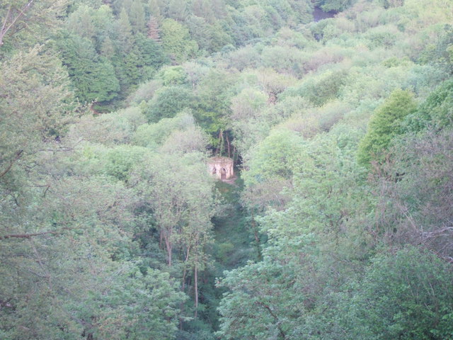
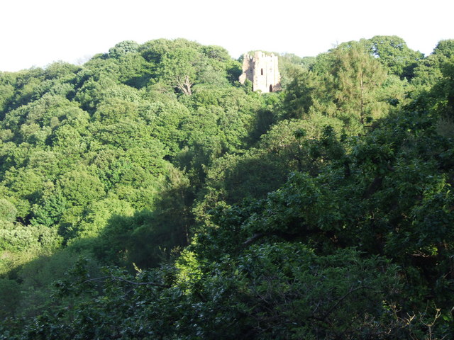
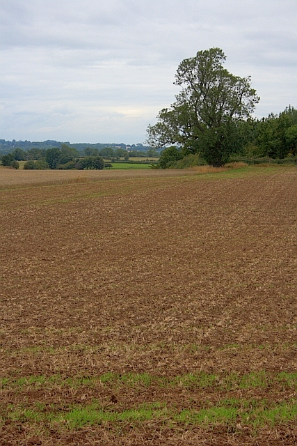
Coal Bank Wood is a picturesque woodland located in the county of Yorkshire, England. Situated near the village of Coal Bank, this woodland covers an area of approximately 100 hectares and is renowned for its natural beauty and diversity of flora and fauna.
The wood is predominantly made up of broadleaf trees, including oak, ash, and beech, which create a dense canopy, providing shade and shelter for a variety of wildlife. The forest floor is covered in a rich carpet of bluebells, wood anemones, and other wildflowers during the spring season, adding to its charm and allure.
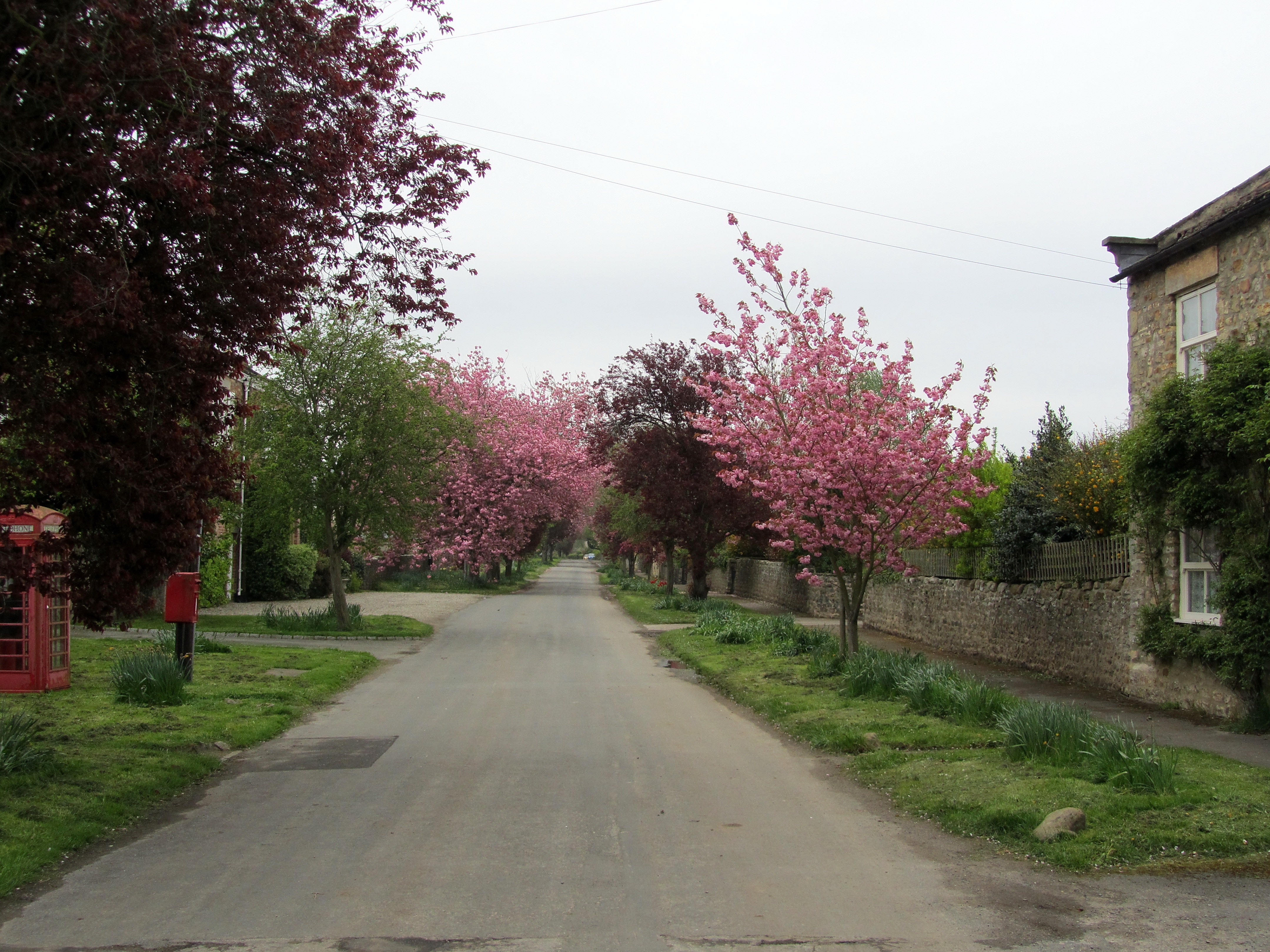
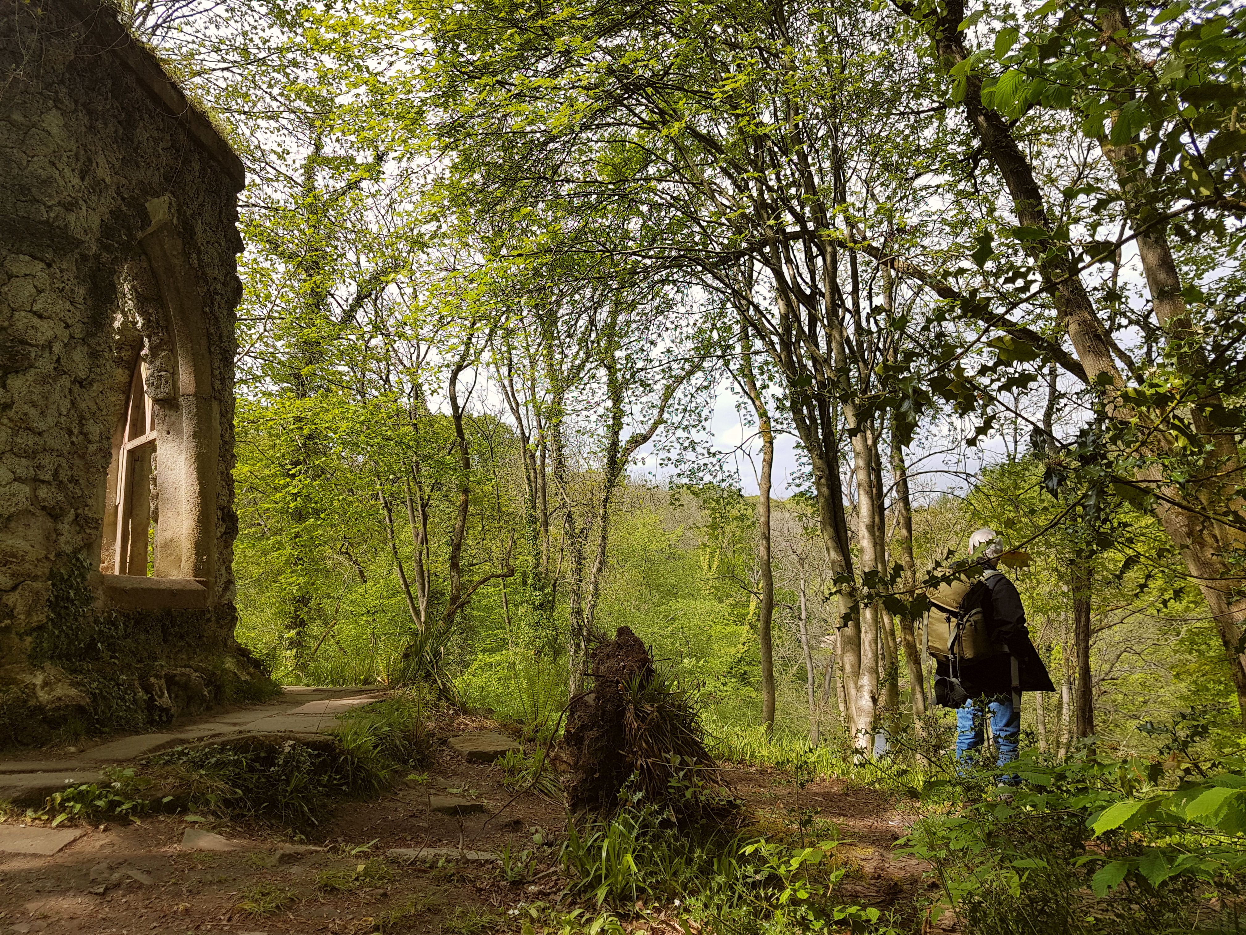
The wood is crisscrossed by a network of footpaths and trails, allowing visitors to explore and immerse themselves in the tranquil surroundings. These paths wind through the trees, leading to open glades, small streams, and hidden ponds, providing ample opportunities for nature enthusiasts to observe and appreciate the local wildlife.
Coal Bank Wood is home to a diverse range of bird species, including woodpeckers, owls, and various songbirds. It is also a haven for mammals such as squirrels, badgers, and foxes, which can often be spotted foraging and playing amongst the trees.
The wood is managed by a local conservation organization, which aims to preserve and enhance its natural beauty. Regular maintenance work is carried out to ensure the health and vitality of the woodland ecosystem, including tree planting and invasive species control.
Coal Bank Wood is a popular destination for nature lovers, walkers, and families seeking a peaceful retreat in the heart of the Yorkshire countryside. Its tranquil atmosphere and stunning scenery make it a true gem of the region.
If you have any feedback on the listing, please let us know in the comments section below.
Coal Bank Wood Images
Images are sourced within 2km of 54.178569/-1.6163307 or Grid Reference SE2575. Thanks to Geograph Open Source API. All images are credited.


Coal Bank Wood is located at Grid Ref: SE2575 (Lat: 54.178569, Lng: -1.6163307)
Division: West Riding
Administrative County: North Yorkshire
District: Harrogate
Police Authority: North Yorkshire
What 3 Words
///graver.hospitals.weary. Near Masham, North Yorkshire
Nearby Locations
Related Wikis
Mickley, North Yorkshire
Mickley is a village in the Harrogate District of North Yorkshire, England. The village is on the south bank of the River Ure between Masham and West Tanfield...

Azerley
Azerley is a village and civil parish in the Harrogate district of North Yorkshire, England. It is about 4 miles (6 km) north-west of Ripon. The civil...
Hack Fall Wood
Hack Fall Wood, otherwise known as Hackfall, is a Site of Special Scientific Interest, or SSSI, of 44.8687 hectares (0.4487 km2; 0.1732 sq mi), lying north...

Grewelthorpe
Grewelthorpe is a village and civil parish in the Harrogate district of North Yorkshire, England situated 3 miles (5 km) south of Masham and 6.2 miles...

Kirkby Malzeard
Kirkby Malzeard () is a village and civil parish in the Harrogate district of North Yorkshire, England. There has been a creamery in the village making...

Lightwater Valley
Lightwater Valley Family Adventure Park is a theme park in North Stainley, North Yorkshire, England. The park was once home to Europe's longest roller...
Marmion Tower
Marmion Tower, also known historically as Tanfield Castle, is a 15th-century gatehouse near the village of West Tanfield in North Yorkshire, England. It...

The Ultimate (roller coaster)
The Ultimate was a steel roller coaster located at Lightwater Valley theme park in North Yorkshire, England. Manufactured by British Rail Engineering Limited...
Nearby Amenities
Located within 500m of 54.178569,-1.6163307Have you been to Coal Bank Wood?
Leave your review of Coal Bank Wood below (or comments, questions and feedback).