Dearne
Settlement in Yorkshire
England
Dearne

Dearne is a former mining town located in the metropolitan borough of Barnsley, South Yorkshire, England. Situated in the Dearne Valley, it is part of the larger area known as the Dearne Valley Metropolitan Area, which encompasses several towns and villages.
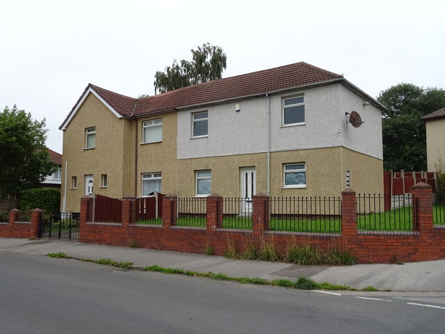
Historically, Dearne was a thriving coal mining community, with numerous collieries operating in the area during the 19th and 20th centuries. However, following the decline of the coal industry, the town has undergone a significant transformation. Today, it is primarily a residential area, with a mix of modern housing developments and older terraced houses.
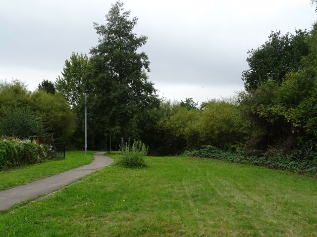
Dearne is surrounded by picturesque countryside, providing opportunities for outdoor activities such as walking, hiking, and cycling. The nearby RSPB Old Moor nature reserve is a popular destination for birdwatching enthusiasts, offering a diverse range of habitats and a wide variety of bird species.
The town boasts a range of amenities, including shops, supermarkets, and local businesses, ensuring that residents have easy access to everyday necessities. Additionally, there are several schools and healthcare facilities serving the community.
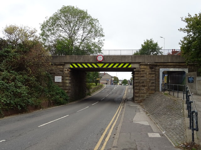
Dearne benefits from good transport links, with the A633 road passing through the town, connecting it to nearby towns and cities. The nearby train stations of Swinton and Mexborough offer regular services to larger urban centers such as Sheffield and Doncaster.
Overall, Dearne is a small but vibrant community that has adapted to the changing times while retaining its natural beauty and providing its residents with a range of amenities and recreational opportunities.
If you have any feedback on the listing, please let us know in the comments section below.
Dearne Images
Images are sourced within 2km of 53.535595/-1.308928 or Grid Reference SE4504. Thanks to Geograph Open Source API. All images are credited.


Dearne is located at Grid Ref: SE4504 (Lat: 53.535595, Lng: -1.308928)
Division: West Riding
Unitary Authority: Barnsley
Police Authority: South Yorkshire
What 3 Words
///quite.additives.advancing. Near Bolton upon Dearne, South Yorkshire
Related Wikis
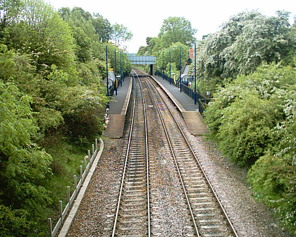
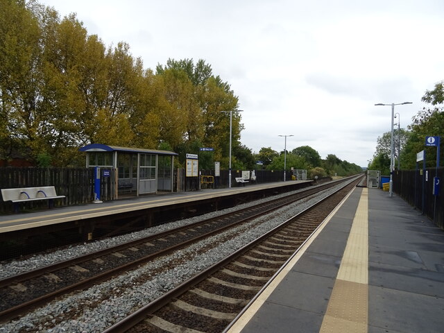
Goldthorpe railway station
Goldthorpe railway station serves the village of Goldthorpe, in South Yorkshire, England. It lies on the Wakefield Line 14.25 miles (23 km) north of Sheffield...

Goldthorpe and Thurnscoe Halt railway station
Goldthorpe and Thurnscoe Halt was a small railway station on the Dearne Valley Railway (DVR) situated between Harlington Halt and Great Houghton Halt....
Highgate Stadium
Highgate Stadium is a greyhound racing stadium in Nicholas Lane, Goldthorpe, South Yorkshire. == Origins == The stadium was constructed on the west side...

St John and St Mary Magdalene Church, Goldthorpe
St John the Evangelist and St Mary Magdalene Church is a parish church in the Church of England Diocese of Sheffield in Goldthorpe, near Barnsley, South...
Nearby Amenities
Located within 500m of 53.535595,-1.308928Have you been to Dearne?
Leave your review of Dearne below (or comments, questions and feedback).