Thorny Coppice

Wood, Forest in Warwickshire Warwick

England

Thorny Coppice

Haseleygreen Farm
Haseleygreen Farm Credit: P Gaskell

Thorny Coppice is a woodland located in Warwickshire, England. Spanning over a vast area, it is known for its dense forest and abundant wildlife. The copse is situated in a rural area, surrounded by picturesque landscapes and rolling hills.

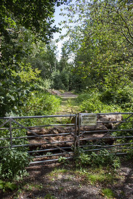
The woodland is primarily composed of native tree species, such as oak, beech, and birch, creating a rich and diverse ecosystem. The trees form a thick canopy, allowing only dappled sunlight to filter through, giving the forest a mystical and enchanting ambiance. Additionally, the forest floor is covered in a thick carpet of moss and ferns, adding to its beauty.

Thorny Coppice is home to a wide variety of wildlife, making it a popular destination for nature enthusiasts and bird watchers. Visitors can spot numerous bird species, including woodpeckers, owls, and warblers. Small mammals like foxes, badgers, and rabbits can also be seen in their natural habitat.

The woodland offers various recreational activities, such as walking trails and nature hikes. These paths wind through the forest, providing an opportunity for visitors to explore and immerse themselves in the tranquility of nature. It is a perfect spot for families to have picnics, nature photography enthusiasts, and those seeking solitude and peace.

Thorny Coppice is a hidden gem in Warwickshire, offering a haven of natural beauty and wildlife. Its lush forests, diverse flora and fauna, and peaceful atmosphere make it a must-visit destination for nature lovers and those seeking a respite from the hustle and bustle of everyday life.

If you have any feedback on the listing, please let us know in the comments section below.

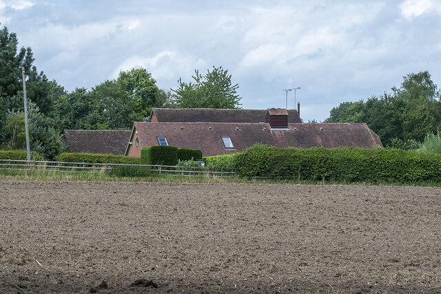
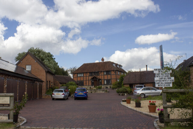
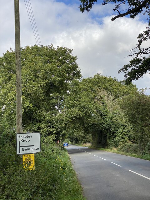
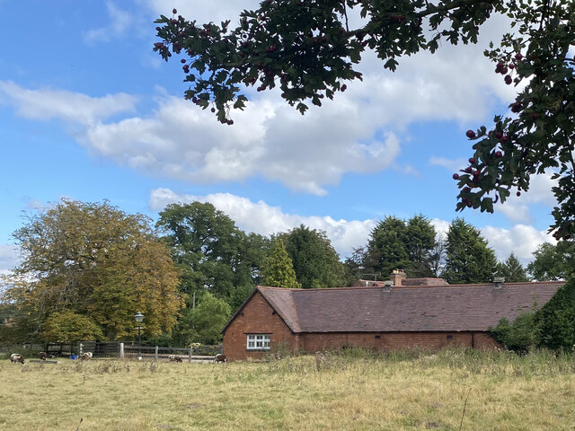
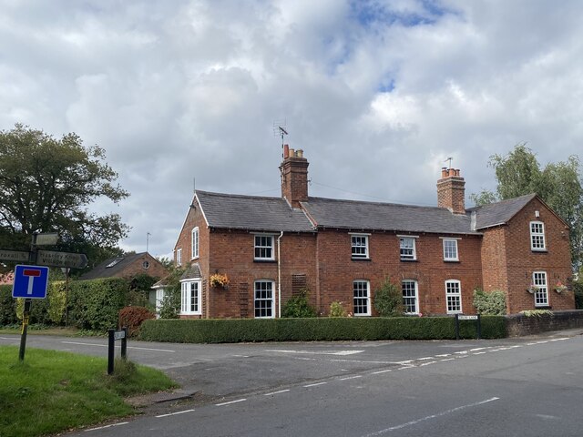
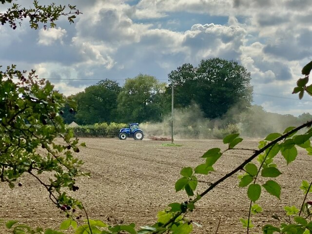
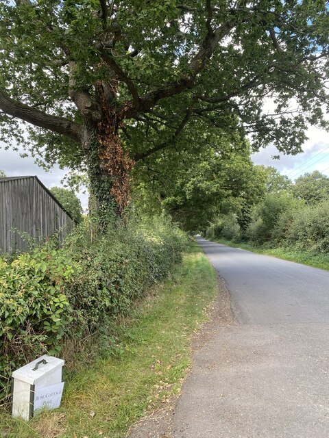
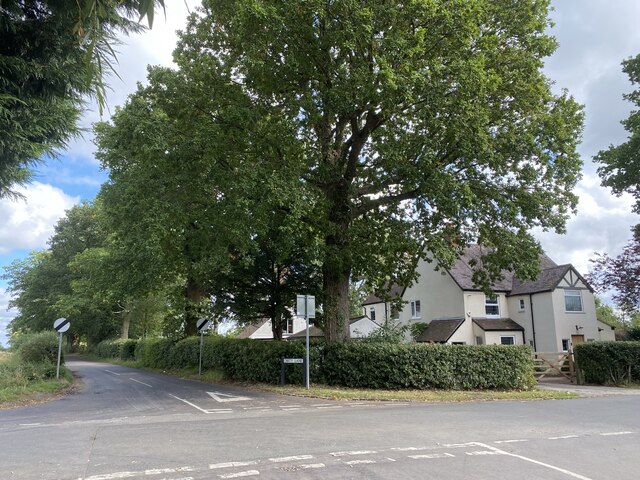
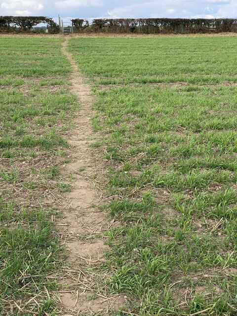
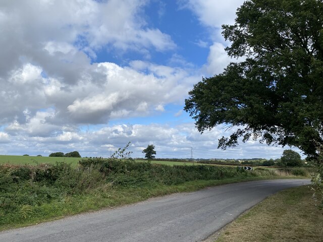
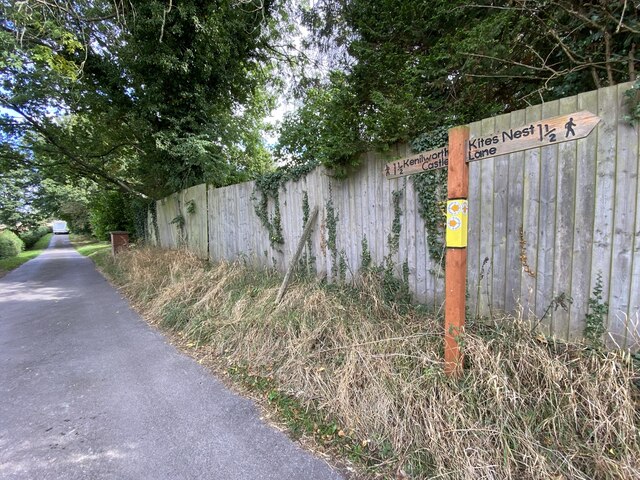
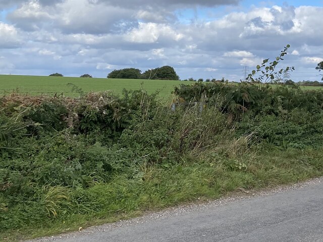
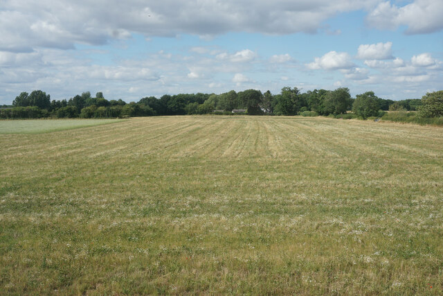
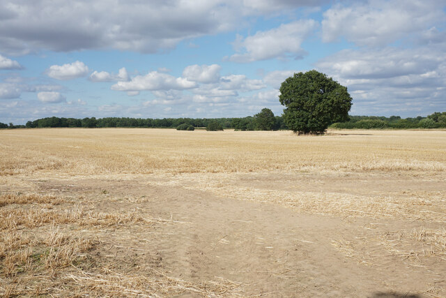
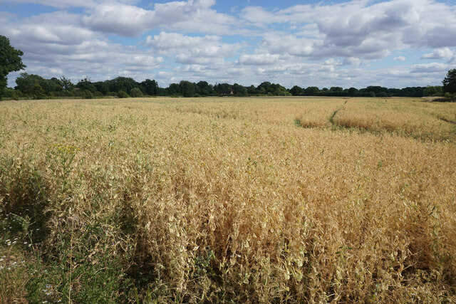
Thorny Coppice Images

Images are sourced within 2km of 52.342961/-1.6334906 or Grid Reference SP2571. Thanks to Geograph Open Source API. All images are credited.

Haseleygreen Farm
Haseleygreen Farm
Clattyland Wood Track entering Clattyland Wood
Clattyland Wood
Track entering Clattyland Wood
Camphill Farm
Camphill Farm
Signpost near road junction Turn right for Beausale, straight ahead for Haseley Knob.
Signpost near road junction
Turn right for Beausale, straight ahead for Haseley Knob.
Cheney’s Farm
Cheney’s Farm
Haseley Knob House at road junction to Beausale.
Haseley Knob
House at road junction to Beausale.
Farming near Beausale
Rose Cottage post Alongside the road from Beausale.
Rose Cottage post
Alongside the road from Beausale.
House at crossroad near Beausale I wonder how ‘Dirty Lane’ got its name.
House at crossroad near Beausale
I wonder how ‘Dirty Lane’ got its name.
Public footpath across farmland Near Fernwood Farm.
Public footpath across farmland
Near Fernwood Farm.
Rural lane It’s just possible to make out the gap in the hedge to the left of the image.  This is where a public right of way leads across farmland.
Rural lane
It’s just possible to make out the gap in the hedge to the left of the image. This is where a public right of way leads across farmland.
Kite’s Nest Lane An old path leading to Kenilworth Castle.
Kite’s Nest Lane
An old path leading to Kenilworth Castle.
Gap in hedge The gap is where a footpath leads across farmland at Ferndown Farm.
Gap in hedge
The gap is where a footpath leads across farmland at Ferndown Farm.
Field at Honiley The field generates silage.
Field at Honiley
The field generates silage.
Harvested field at Honiley On the north side of Church Lane.
Harvested field at Honiley
On the north side of Church Lane.
Pea crop at Honiley Ripening up nicely. It is further ahead than other local fields.
Pea crop at Honiley
Ripening up nicely. It is further ahead than other local fields.
Another local campaign An all too common occurrence where locals are trying to preserve their countryside.
Another local campaign
An all too common occurrence where locals are trying to preserve their countryside.
Church of St John the Baptist, Honiley Dating from 1723, this was originally the private chapel for Honiley Hall. It is in Baroque style and Grade I listed. The gateposts to the left are also listed as Grade II*.
Church of St John the Baptist, Honiley
Dating from 1723, this was originally the private chapel for Honiley Hall. It is in Baroque style and Grade I listed. The gateposts to the left are also listed as Grade II*.
Show me another place!

Thorny Coppice is located at Grid Ref: SP2571 (Lat: 52.342961, Lng: -1.6334906)

Administrative County: Warwickshire

District: Warwick

Police Authority: Warwickshire

What 3 Words

///scream.cubed.laugh. Near Wroxall, Warwickshire

Nearby Locations

Thorny Coppice

Related Wikis

Nearby Amenities

Located within 500m of 52.342961,-1.6334906
The data included in this document is from www.openstreetmap.org. The data is made available under ODbL.

Have you been to Thorny Coppice?

Leave your review of Thorny Coppice below (or comments, questions and feedback).